Cerro Noroeste

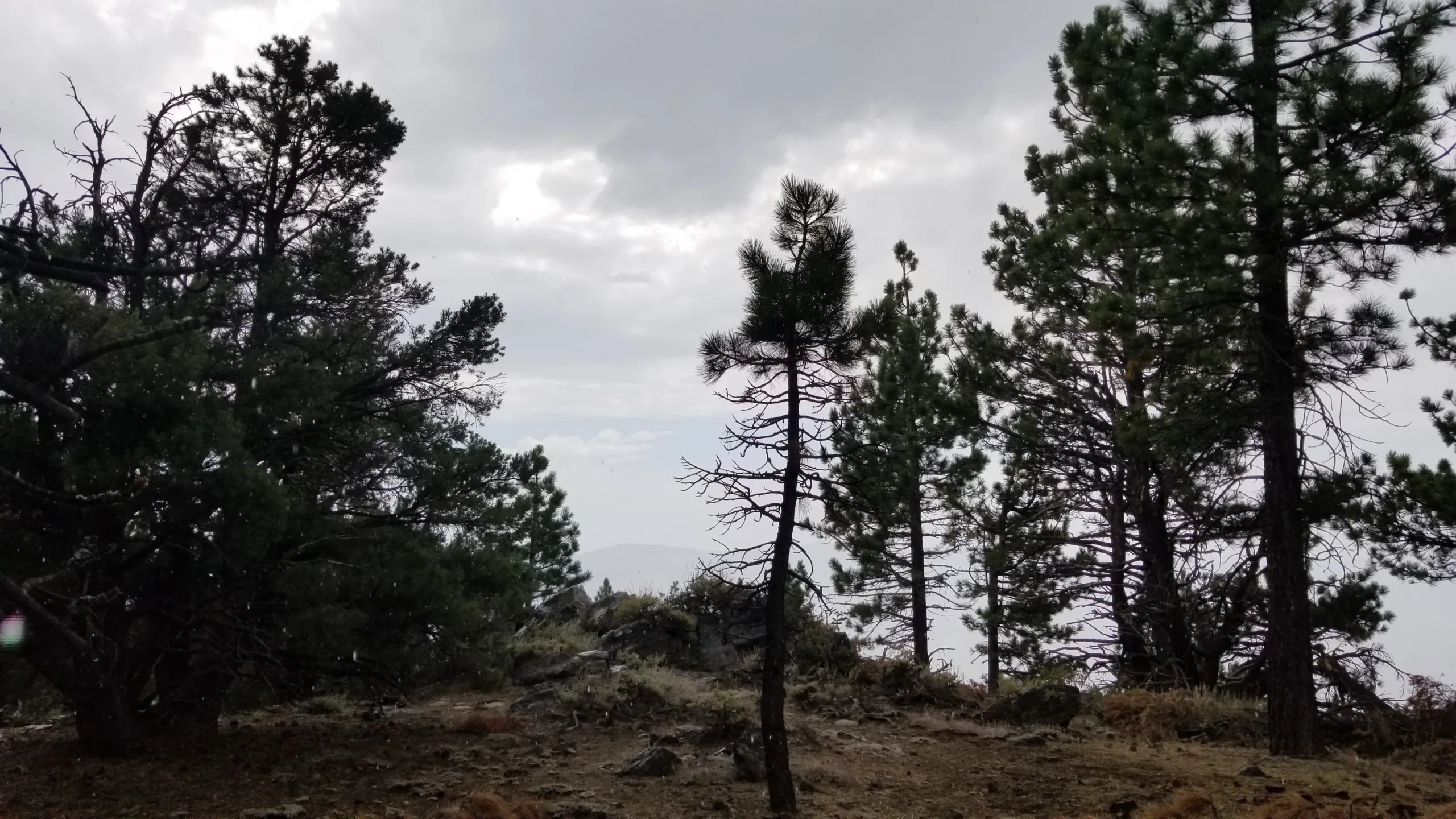
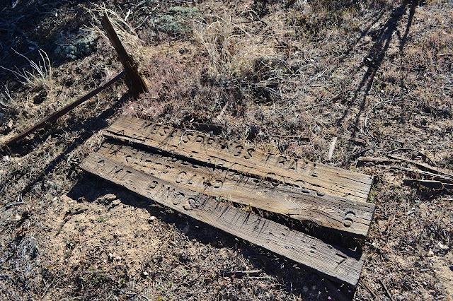
Old Sign for Noroeste with its old name, Photo by Valerie Norton.

Peak Name

Cerro Noroeste
04F

Elevation

8286

 feet

Status

active

Region

Southern Kern County West Of Hwy 5

Range

San Emigdio Mountains

Location

34.8308108,-119.2034437

Description

Once referred to as Mount Abel, after a Kern County supervisor responsible for building the road to the peak, the name fell out of favor when his Ku Klux Klan affiliation was disclosed, prompting the USGS in 1989 to assert its original Spanish name. The name persists on the benchmark, however. Cerro Noroeste is one of several peaks where the location of the HPS summit is different from the USGS summit.

Although Cerro Noroeste can be a drive-up peak (Route 1), it is usually paired with some or all of the remaining peaks on the ridge to Pinos (Route 2). There is a nice and sparsely visited campground on top.

Maps generated from CalTopo.com, reproduced with permission

Route 1- Drive-up
Elevation Gain
None
Navigation Difficulty
Easy
Distance
None
Estimated time
None
Route Rating
Drive-up
Leader Rating Required
“O”, normal conditions

Driving route

Go north on I-5 to the Frazier Park exit.
Go west 7.2 miles past Frazier Park and on to Lake of the Woods.
Keep straight here and go 5.3 miles farther to the junction with Mil Potrero Road. Turn right. Note odometer and go as follows:
At 8.3 miles, highway junction and a ranger station at Apache Saddle. Turn left.
At 16 miles, a circle road at the campground on the summit. Park at the south end of the circle near a restroom.

Hiking route

Hike south about 200 yards along a dirt road (which goes to a radio site) to a rockpile on the right side of the road. This is the traditional HPS summit, which differs from the USGS summit 150 yards to the east.

Route Notes

Printable Route

Road Type

Paved

Google Maps Link to Trailhead 

Route 2- From Mount Pinos Ridge
Elevation Gain
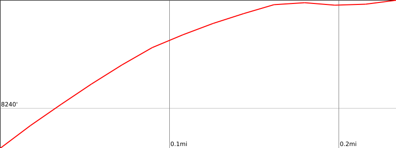
750′ gain, 900′ loss
Navigation Difficulty
Easy
Distance
3 miles one way on trail and road
Estimated time
1-1/2 hours round trip
Route Rating
Class 1, easy
Leader Rating Required
“O”, normal conditions

Driving route

See driving directions for Grouse Mountain.

Hiking route

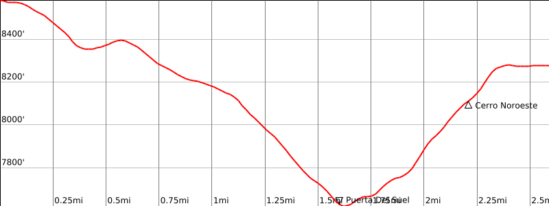
From the top of Grouse Mountain, hike north 1/4 mile back down to the trail.
Turn left (west) on the trail and follow it down to where it meets the Mesa Spring Trail at Puerto del Suelo (the saddle between Grouse Mountain and Cerro Noroeste.)
Continue straight (west) on the trail as it goes up a short steep section until it meets the road in Route 1.
Turn right (north) up the road and walk 0.8 mile to the top following Route number 1 driving and hiking instructions.

Route Notes

From the top of Grouse Mountain, hike north 1/4 mile back down to the trail. Turn left (west) on the trail and follow it down to where it meets the Mesa Spring Trail at Puerto del Suelo (the saddle between Grouse Mountain and Cerro Noroeste.) Continue straight (west) on the trail as it goes up a short steep section until it meets the road in Route 1. Turn right (north) up the road and walk 0.8 mile to the top following Route number 1 driving and hiking instructions.

Printable Route

Road Type

None

Google Maps Link to Trailhead 

Additional Peak Information

Please keep the register hidden since it is so close to the campground. Mount Pinos, Sawmill Mountain and Grouse Mountain, and Cerro Noroeste (Mt. Abel) are often combined as a car shuttle trip from Pinos to Cerro Noroeste, 7.5 miles with 2100′ gain. By reversing the climbing instructions, it can be done in the reverse order.

Nearby Peaks

Backus Peak
Owens Peak
Black Mountain #5
Morris Peak

External Links

mountain 1

Peakbagger.com

Click Here

ranger-tower 1

Nearest ranger station

Click Here

g311

NOAA Forecast

Click Here

worldwide 1

Google Earth

Click Here

Photo Gallery