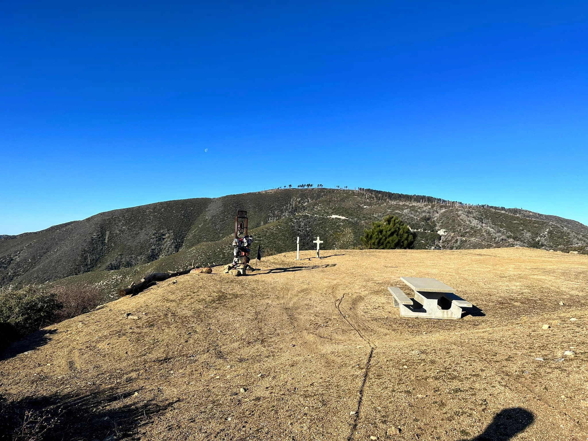
Mount Gleason Firefighters Memorial, photo by Jim Hagar
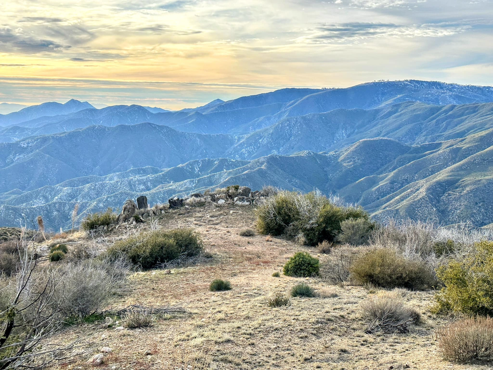
Mount Gleason (right) taken from Pacifico, with Iron Mountain, Condor and the Little Four, photo by Sunny Yi


Peakbagger.com

Nearest ranger station

NOAA Forecast

Google Earth


