Peak Name
Elevation
feet
Status
Region
Range
Nearby peaks
Location
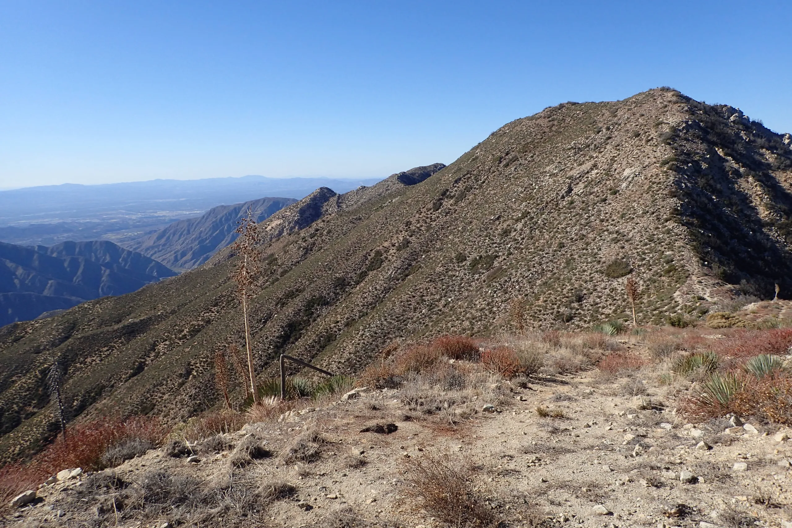
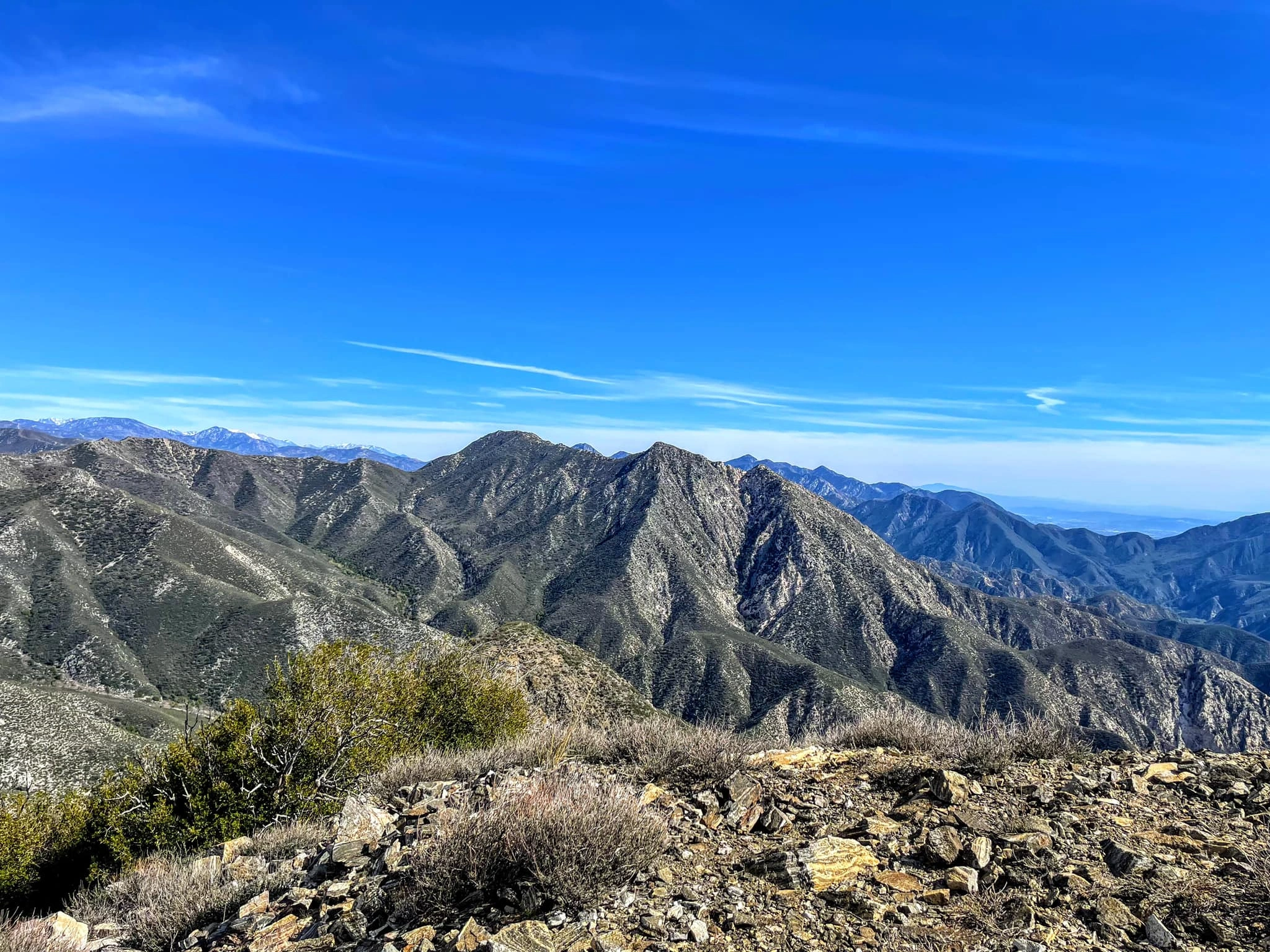
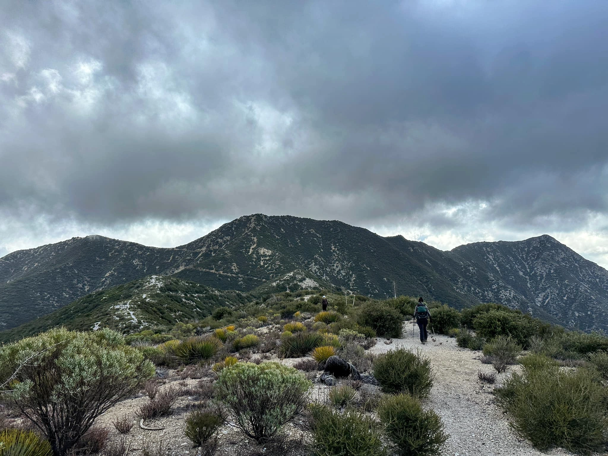
Condor Peak is a challenging hike with two false peaks and a scramble up the last section to the top. It is usually combined with Fox Mountain #2, a short detour from the Condor Peak Trail, and sometimes with Iron Mountain #2 if you are very ambitious, but Condor Peak is a great destination on its own. Views from Mount Lukens to the Pacific Ocean await your arrival.
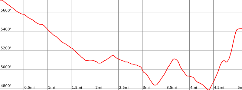
Route 1 starts from near Mount Gleason and is an easy, but somewhat overgrown, downhill road walk to reach the summit ridge of Condor, with a gradual 1400′ elevation gain on your return. Route 2 is not passable at the present time due to virtually impenetrable brush beyond Tom Lucas trail camp. Route 3, the Condor Peak Trail, is the most popular route. It is a beautiful winding path across and then up the ridges below Fox and Condor. The trail was cleared in 2023 by CORBA and is in excellent shape. The final scramble to the top is a collection of different use trails, but keep heading up and you will find the top. Hikers usually start the trail from Vogel Flats instead of the official trailhead, which saves a mile.
Maps generated from CalTopo.com, reproduced with permission
Driving route
Drive north on Angeles Crest Highway (SR 2) for 9.5 miles to its junction with Angeles Forest Highway (N3). Turn left.
Drive north on Angeles Forest Highway 14.2 miles to Mill Creek Summit. Turn left on Mount Gleason Road (3N17). Note your odometer and go as follows:
At 6.2 miles, a fork, where the paved road goes into a detention center. Take the left fork (dirt) around the detention center.
At 8.8 miles, a gated paved road goes right (north) just past a microwave tower. This is the parking spot for Mount Gleason. Keep left.
At 9.3 miles, fork. Turn left.
At 9.5 miles, fork at Lightning Point Campground (shown on topo as “Mt. Gleason Campground”). Turn right.
Continue downhill about 1.6 miles to a locked gate at a saddle. This saddle is just northeast of bump 5846′.
Hiking route
From the parking area (5700′), pass the gate and hike west 1 1/2 miles to Indian Ben Saddle. Two trails leave the road at this point marked by signs.
Continue west on the road 1/4 mile to a where the road forks.
Keep left and follow the road down to a second fork near a water tank.
Take the right fork and follow it, as it becomes a trail, down to a saddle at the junction with the Trail Canyon Trail.
Keep straight here on the Condor Peak Trail and follow it about a mile to the saddle east of Condor Peak.
From here, follow a use trail up the ridge up to the summit.
Printable Route
Road Type
Driving route
From the intersection of Mt. Gleason Avenue and Foothill Boulevard in Sunland, drive north on Mount Gleason, which becomes Big Tujunga Canyon Road, about 5 miles to Upper Trail Canyon Road on the left. Turn left.
Hiking route
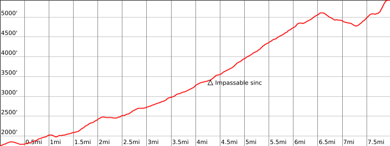
From the parking area, hike up Trail Canyon Trail (13W03) 5 miles and 3000′ gain, passing Tom Lucas Campground, to where the trail meets the Condor Peak Trail between Iron Mountain #2 and Condor Peak.
Turn right and follow the Condor Peak Trail to the saddle east of Condor Peak.
From here, follow a use trail up the ridge up to the summit.
Route Notes
Printable Route
Road Type
Driving route
See the Fox Mountain #2 guide.
Hiking route
See the Fox Mountain #2 guide.
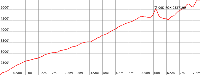
From the saddle just north of Fox Mountain #2, follow the ridge to the northwest along fire road 13W05 to the saddle just east of Condor Peak.
From here, follow a use trail up the ridge up to the summit.
Printable Route
Road Type
Additional Peak Information
Peak combinations: Iron, Condor and Fox as a single hike from the Condor Peak Trail is 20 miles and about 5600′ gain.


You must be logged in to upload images.