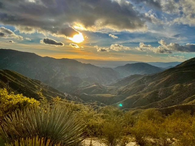
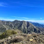
Fox Mountain and Condor Peak, taken from North, photo by Sunny Yi
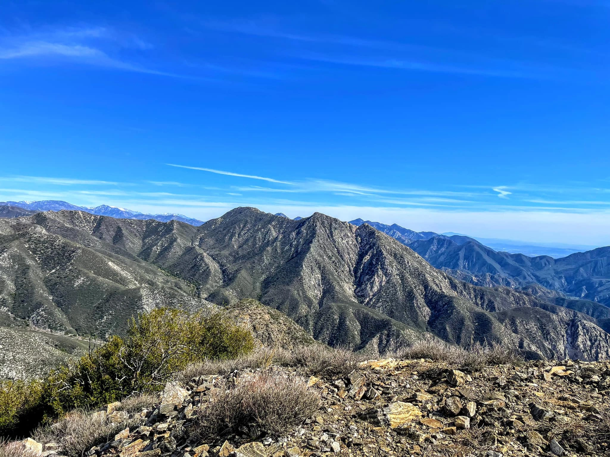
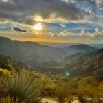
View from Fox Mountain #2, photo by John Sheehe


Peakbagger.com

Nearest ranger station

NOAA Forecast

Google Earth


