Mount Baden-Powell

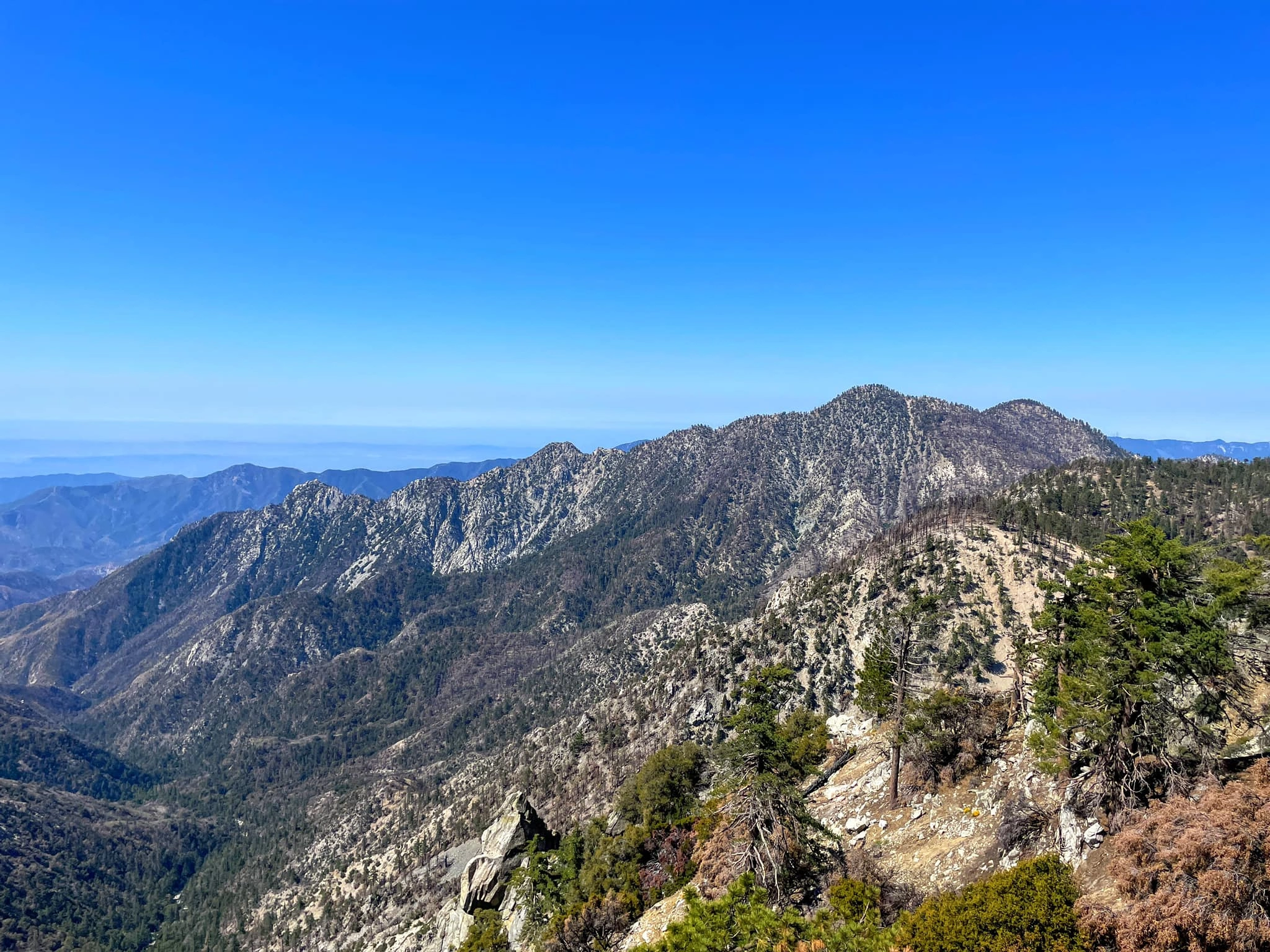
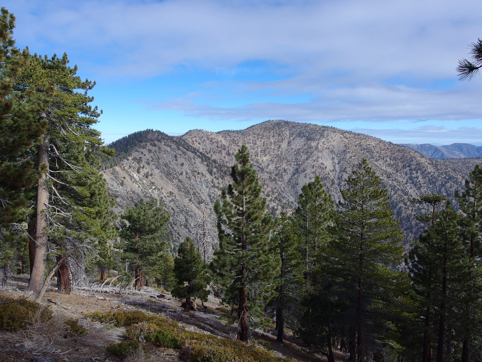
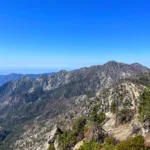
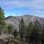
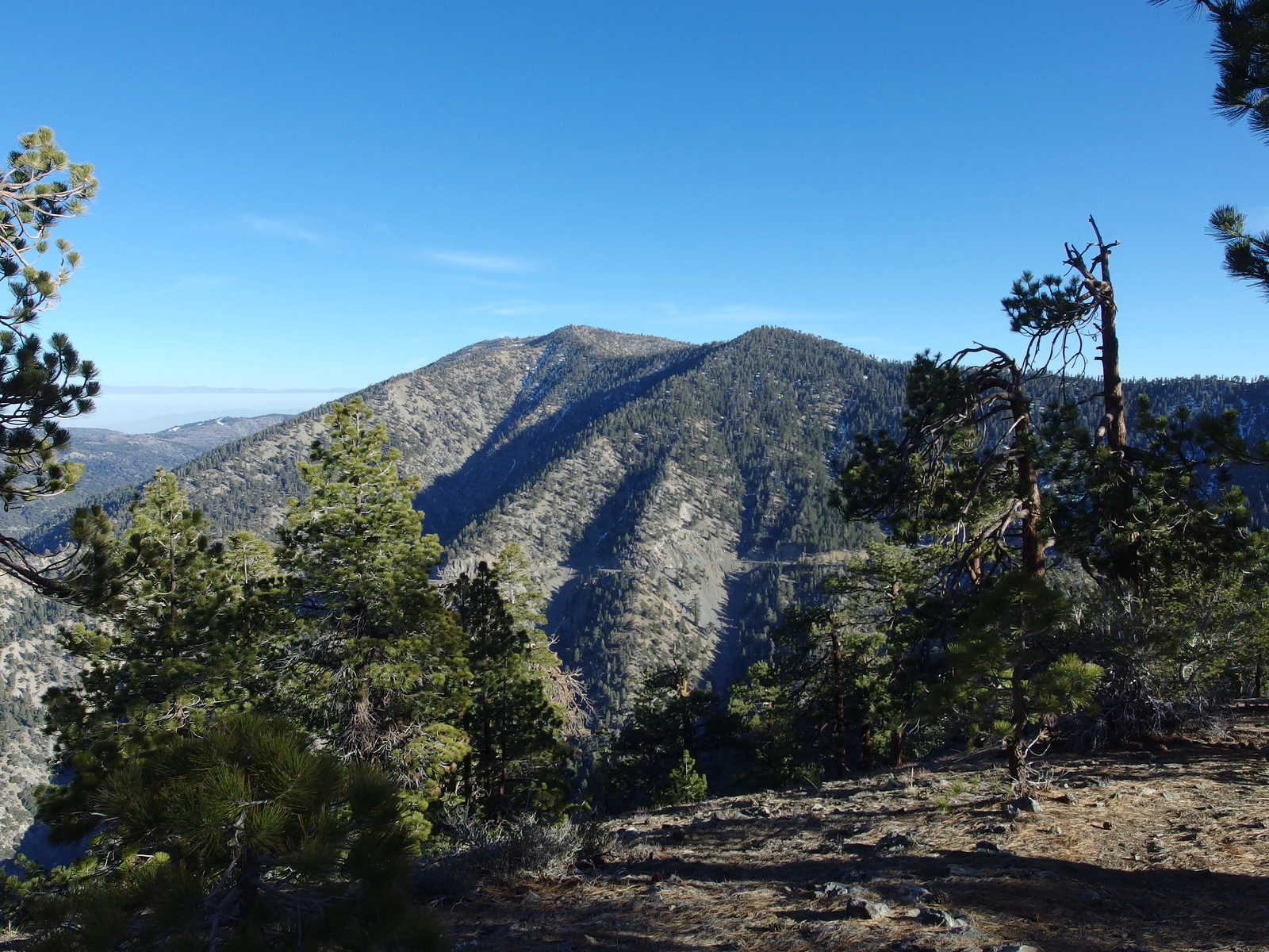
Baden Powell and Burnham, taken from Lewis, Photo by Kathy Wing.

Peak Name

Mount Baden-Powell
14I

Elevation

9399

 feet

Status

active

Region

South Of Angeles Crest Hwy 2

Range

San Gabriel Mountains

Location

34.3586117,-117.764504

Description

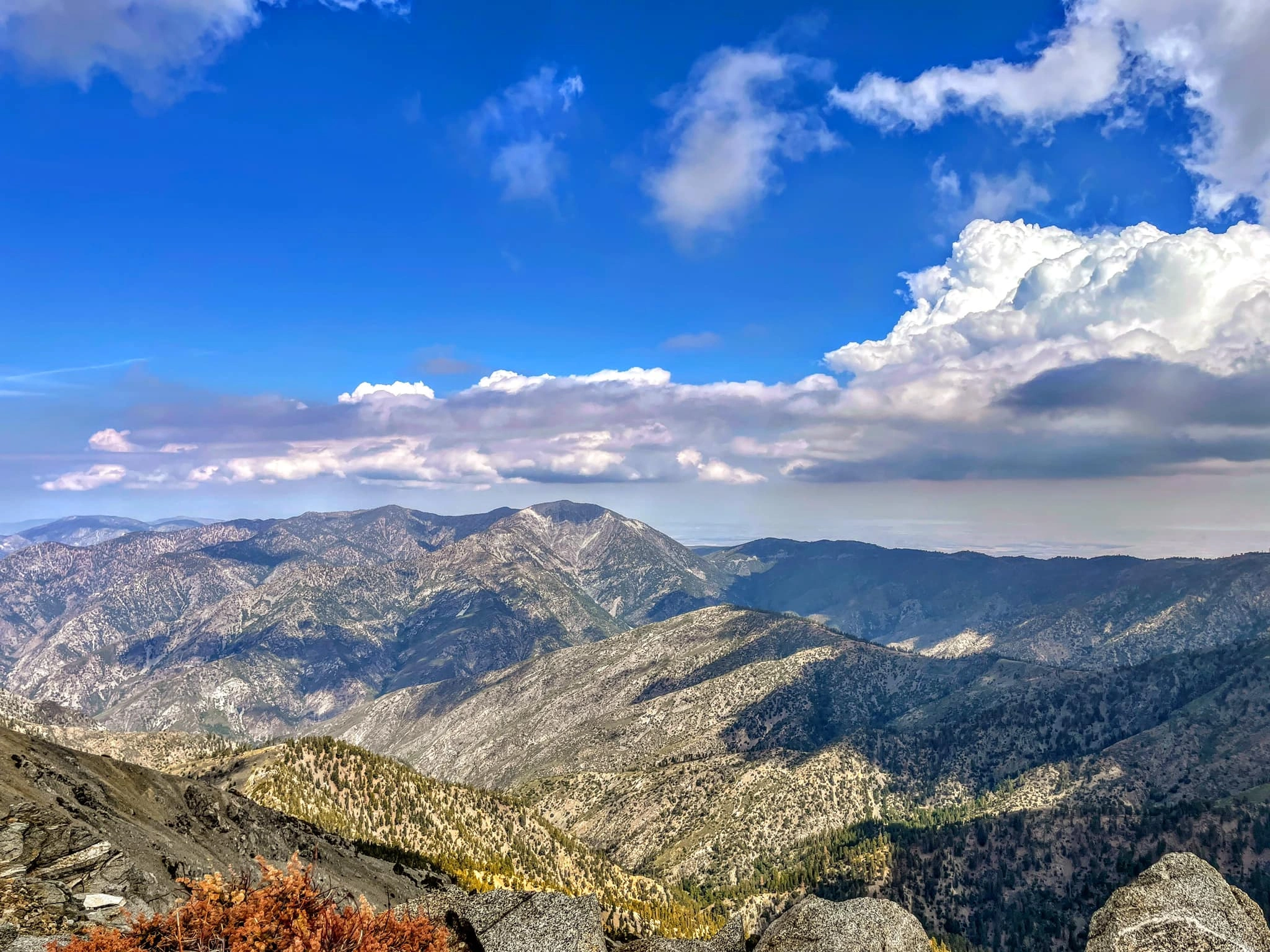
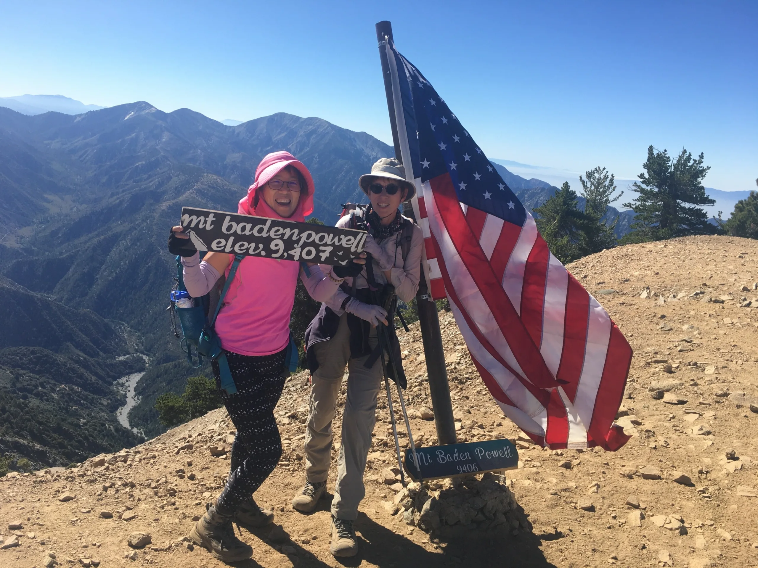
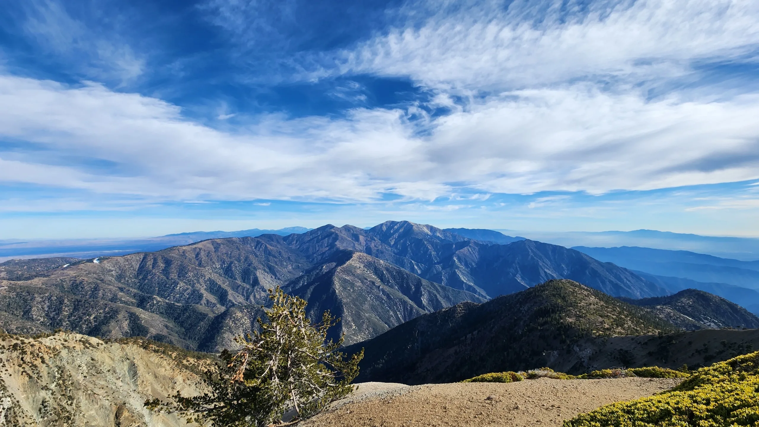
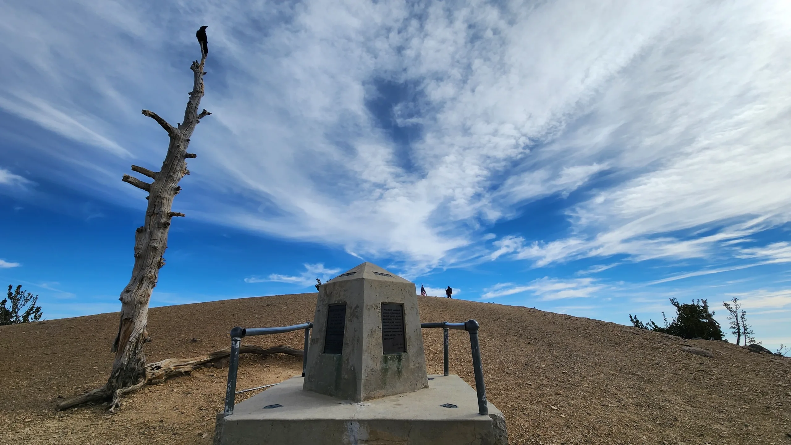
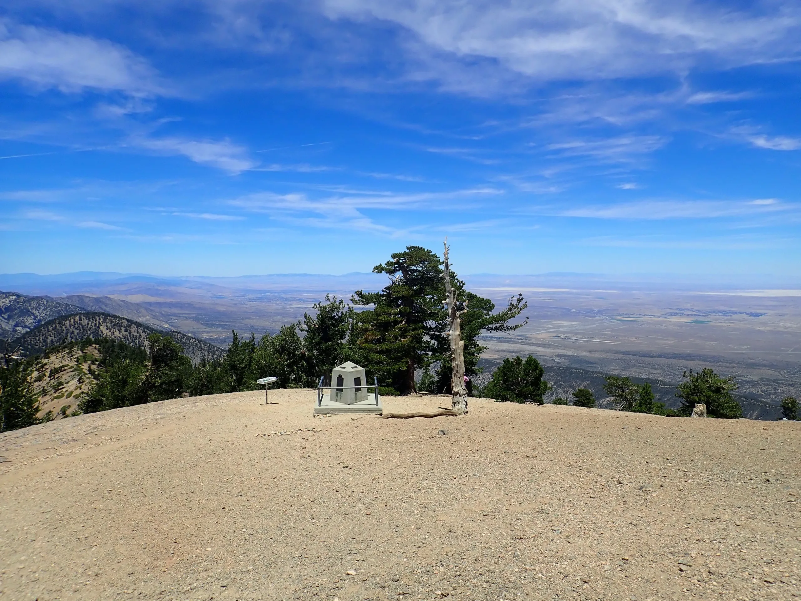
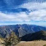
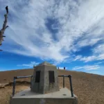
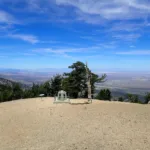
Mount Baden-Powell sits atop the beautifully forested Pacific Crest Trail. Passing a 1500 year old limber pine just before the summit, you will also see the 1931 marker named for Lord Baden-Powell (founder of the Boy Scouts). You will be rewarded with spectacular views of Baldy, Pine, Dawson, Iron summits that rise from stalwart ridges extending in all directions, the steep wild canyons that split them, and the rivers and streams that cut those canyons — Mine Gulch southeast of Baden-Powell; Prairie Fork southwest of Blue Ridge; Copter Ridge descending eastward accompanying Iron Fork to the San Gabriel River; and San Antonio Ridge, traveling from Baldy to Big Iron and ushering Fish Fork towards the Narrows.

Route 1 from Vincent Gap is the shortest trail to the top. Route 2 from Dawson Saddle is a bit longer, but it has the least elevation gain to reach the summit. Route 3 is an epic ridge climb meant for experienced and adventurous hikers. It starts from near the historic Big Horn mine, which you should definitely take a short detour to visit. Staying toward the left on the ridge will avoid some exposed sections. A common multi-peak adventure starts from Islip Saddle all the way along the PCT. passing Little Jimmy Campground, Windy Gap, Throop Peak, Burnham Peak and then offering the main trail or a use trail for the final stretch to the summit of Baden Powell, then descending Route 1 for a car shuttle.

Maps generated from CalTopo.com, reproduced with permission

Route 1- From Vincent Gap/PCT
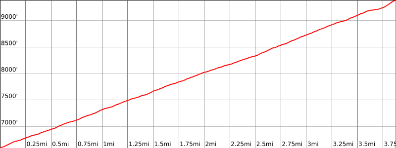
Elevation Gain
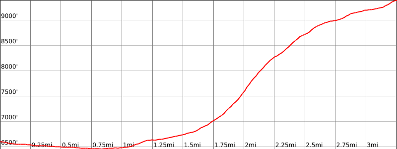
2800′
Navigation Difficulty
Easy
Distance
8 miles round trip on trail
Estimated time
4-5 hours round trip
Route Rating
Class 1, moderate
Leader Rating Required
“O”, normal conditions

Driving route

From the intersection of I-210 and Angeles Crest Highway, drive north on Angeles Crest Highway for about 51 miles to a large parking area on the right side of the road at Vincent Gap. Park here.

Hiking route

The Pacific Crest Trail (PCT) starts at the west end of the parking lot. From the parking lot (6593′), hike up the trail through many switchbacks to a junction where the PCT goes to the right.
Keep left and follow the trail a short distance up to the summit.

Route Notes

Printable Route

Road Type

Paved

Google Maps Link to Trailhead 

Route 2- From Mount Burnham
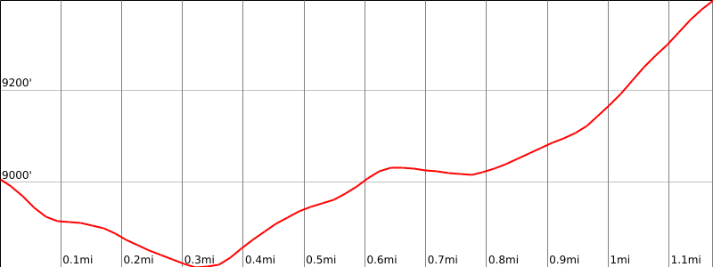
Elevation Gain
800′
Navigation Difficulty
Easy
Distance
2 miles one way
Estimated time
1 hour one way
Route Rating
Class 1
Leader Rating Required
“O”, normal conditions

Driving route

See the Mount Burnham guide.

Hiking route

See the Mount Burnham guide.
From Mount Burnham, descend east to the PCT.
Go east on the PCT to the junction just below the summit of Baden-Powell.
Go right and follow the trail up to the summit.

Route Notes

Note: From Mount Burnham.

Printable Route

Road Type

None

Google Maps Link to Trailhead 

Route 3- East Ridge
Elevation Gain
2800′
Navigation Difficulty
Moderate
Distance
7.5 miles round trip on trail and steep cross-country
Estimated time
5-6 hours round trip
Route Rating
Class 1, very strenuous
Leader Rating Required
“I”, normal conditions

Driving route

From the intersection of I-210 and Angeles Crest Highway, drive north on Angeles Crest Highway for about 51 miles to a large parking area on the right side of the road at Vincent Gap. Park here.

Hiking route

From the parking lot (6593′), go through the gate and east up the road toward the Big Horn Mine.
After 1.6 miles (before reaching the fence marking the mine property), ascend the east ridge on a use trail.
Climb a steep ridge for 1.4 miles with 2400′ of gain to meet the main ridge and the PCT 200′ below the summit. Follow the top of the ridge wherever possible in order to avoid steep loose dirt on the exposed north side.
Return via the PCT back to the parking lot. Descending by the ridge is not advised.

Route Notes

Printable Route

Road Type

Paved

Google Maps Link to Trailhead 

Additional Peak Information

Natural historical notes: Just before reaching the summit you hike through an old limber pine forest.

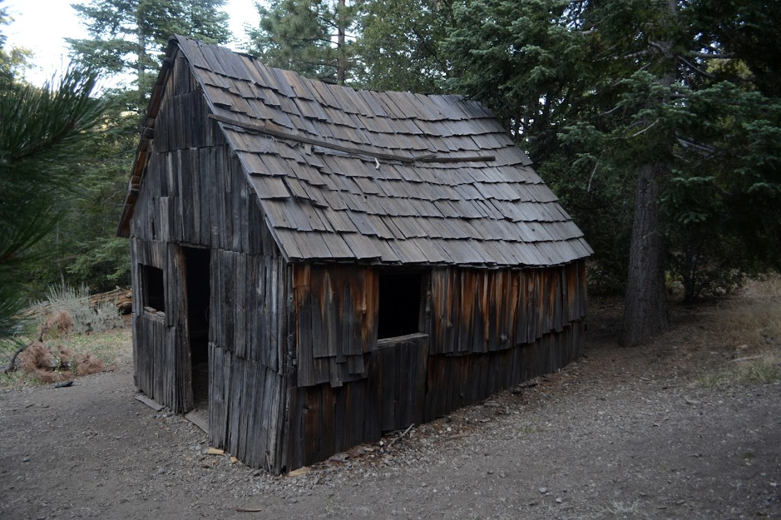
Historical notes: The peak is named after the founder of the Boy Scout movement. The summit marker was placed May 30, 1931. On the side of the mountain is the Big Horn Mine. Currently active again, it is the largest mining operation in the San Gabriel Mountains.

Nearby Peaks

Backus Peak
Owens Peak
Black Mountain #5
Morris Peak

External Links

mountain 1

Peakbagger.com

Click Here

ranger-tower 1

Nearest ranger station

Click Here

g311

NOAA Forecast

Click Here

worldwide 1

Google Earth

Click Here

Photo Gallery