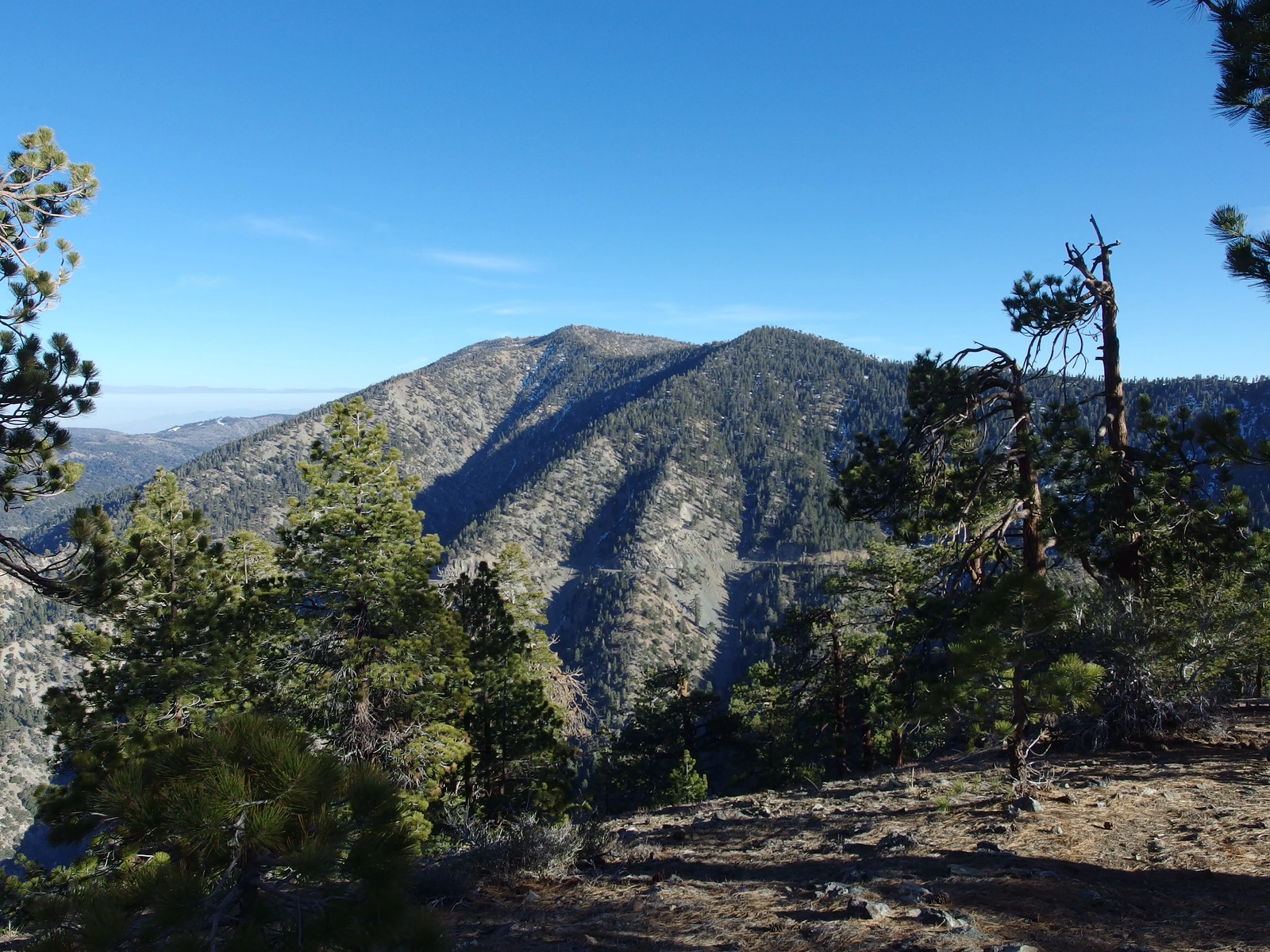
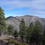
Baden Powell and Burnham, taken from Lewis, photo by Kathy Wing
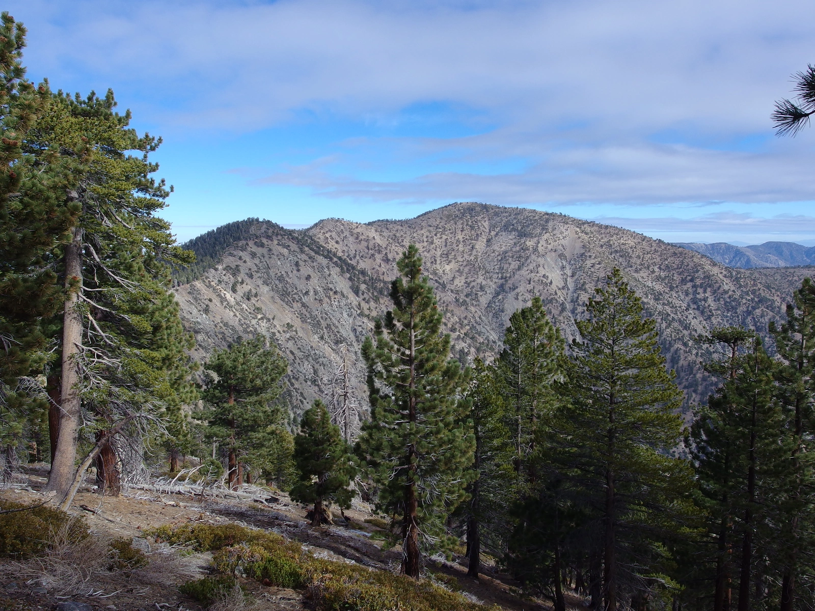
Mount Burnham and Baden Powell, taken from Hawkins, photo by Kathy Wing

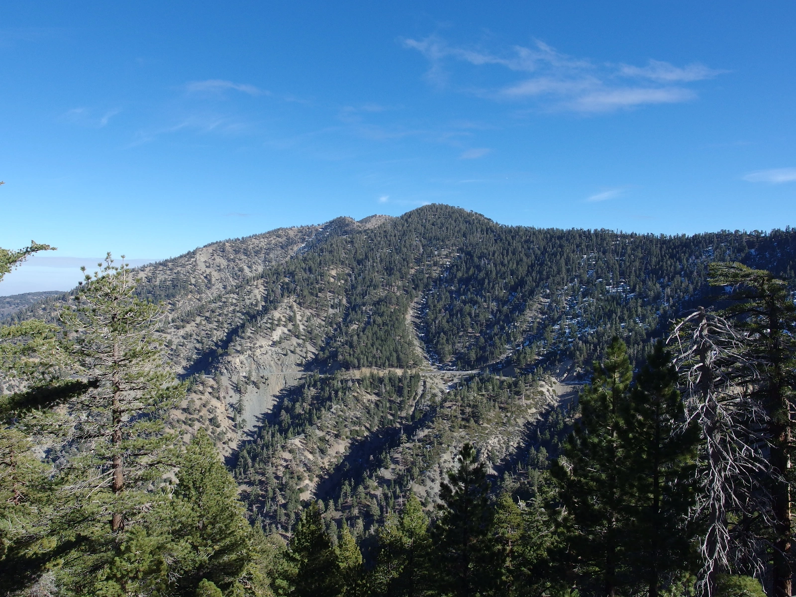
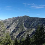
Mount Burnham, taken from Baden Powell Trail, photo by Chris Waldheim
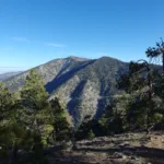
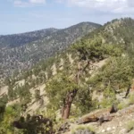
Mount Burnham from Hawkins, photo by Kathy Wing


Peakbagger.com

Nearest ranger station

NOAA Forecast

Google Earth


