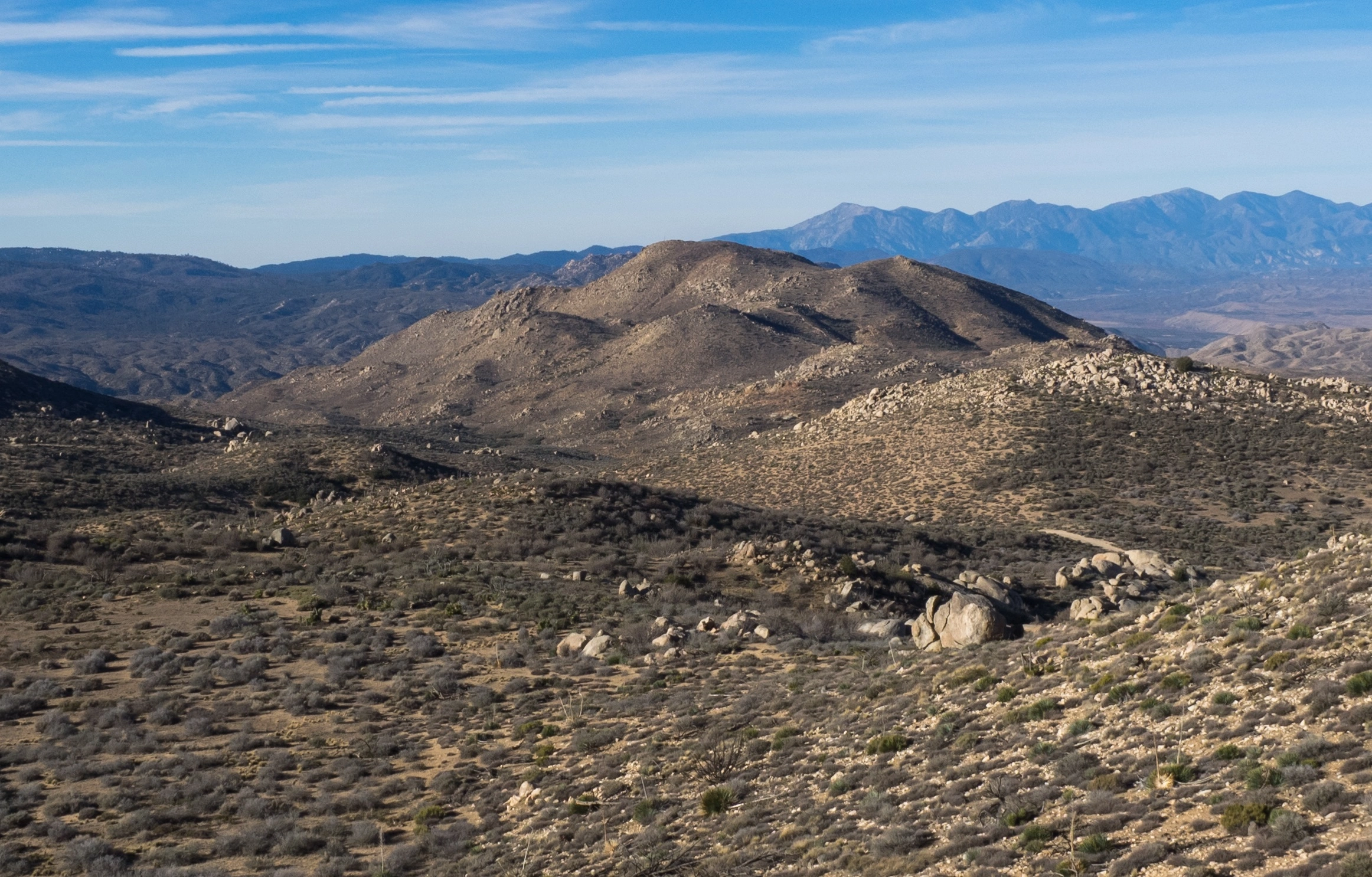
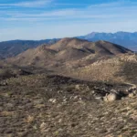
Luna Mountain, taken from Rattlesnake, photo by Kathy Wing
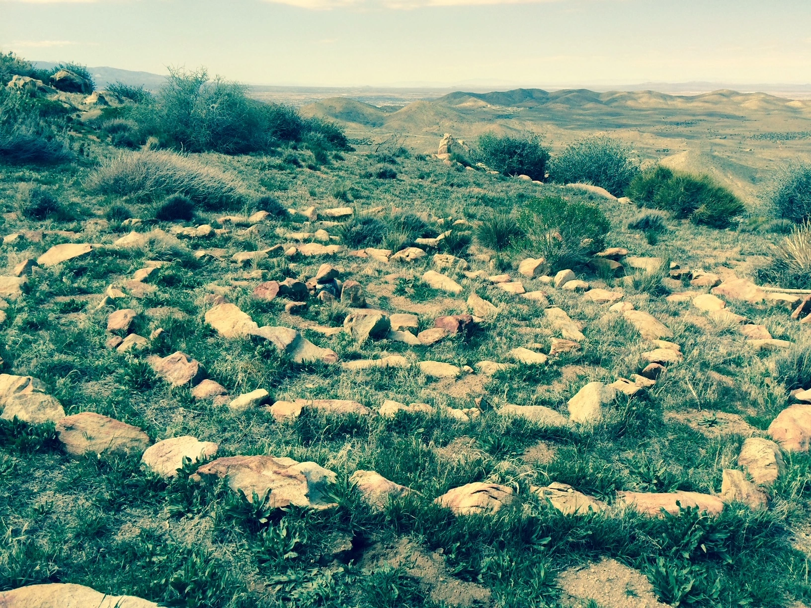
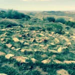
Labyrinth Near Luna, photo by Jim Hagar
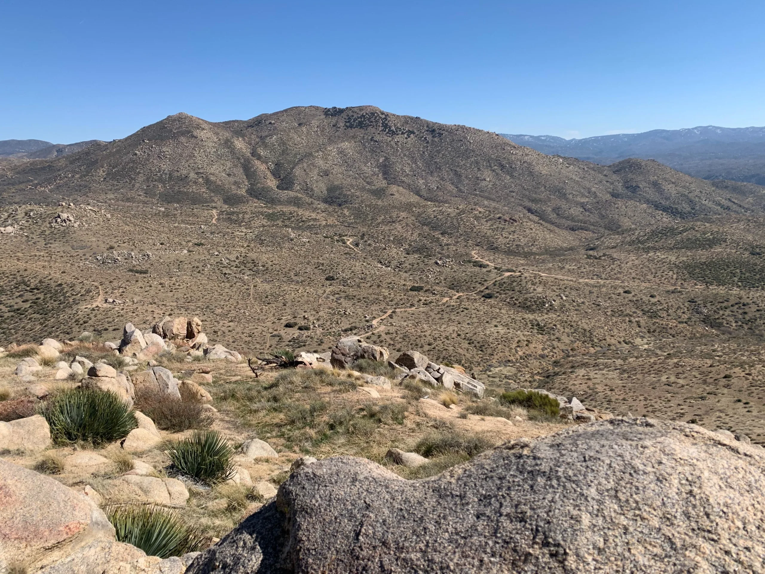
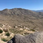
Luna, taken from Round, photo by Sharon Moore
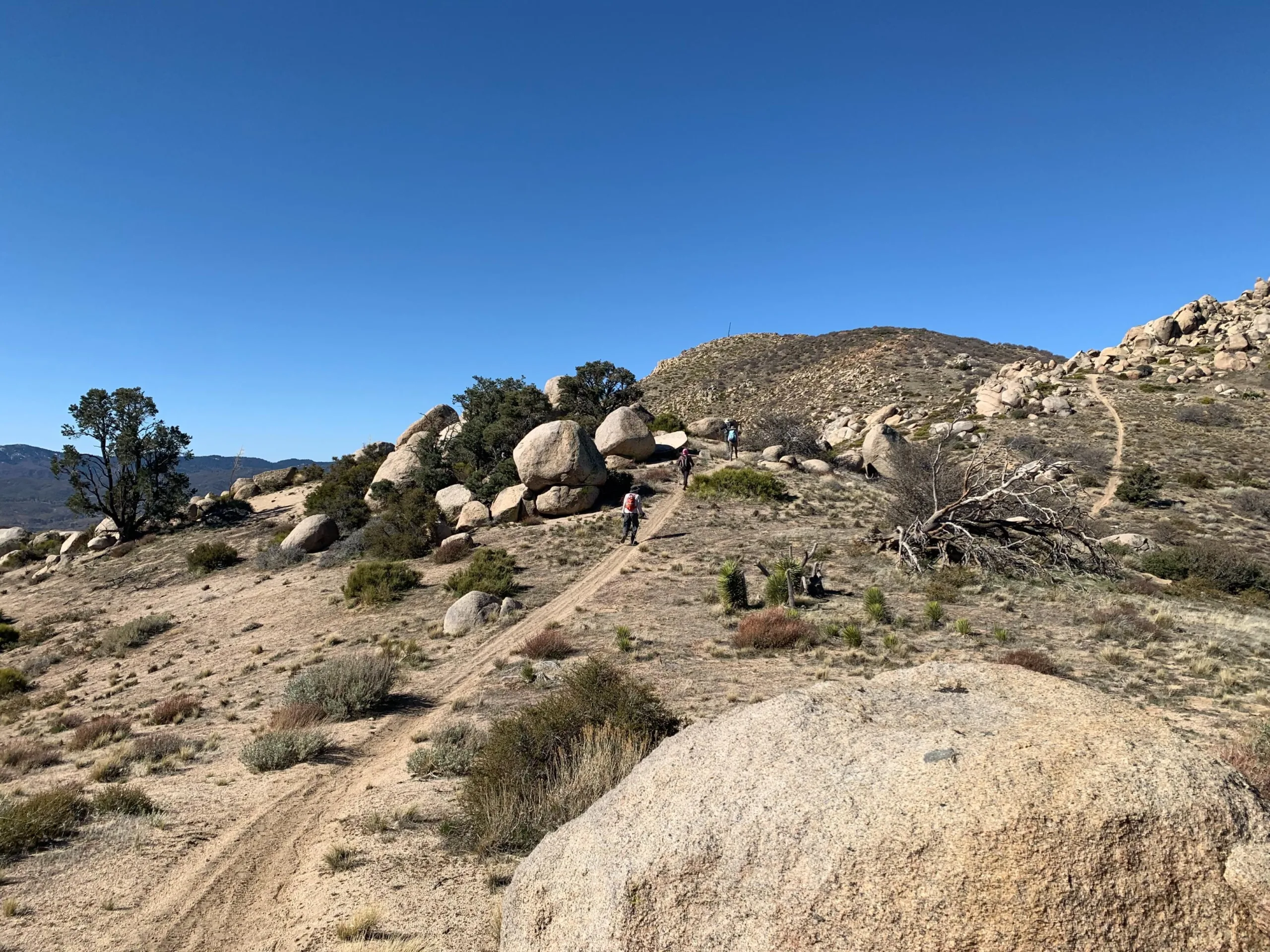
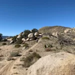
Luna Mountain with Hikers, photo by Sharon Moore


Peakbagger.com

Nearest ranger station

NOAA Forecast

Google Earth


