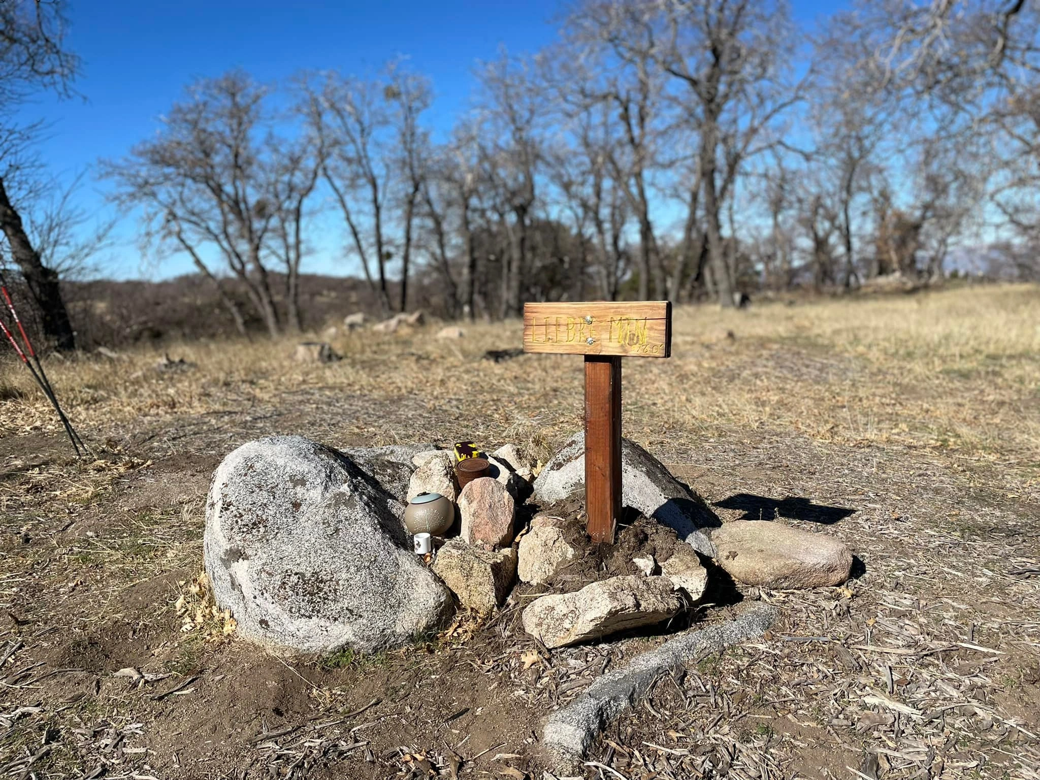
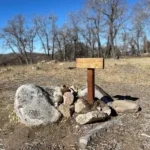
Liebre Mountain summit, photo by Sunny Yi

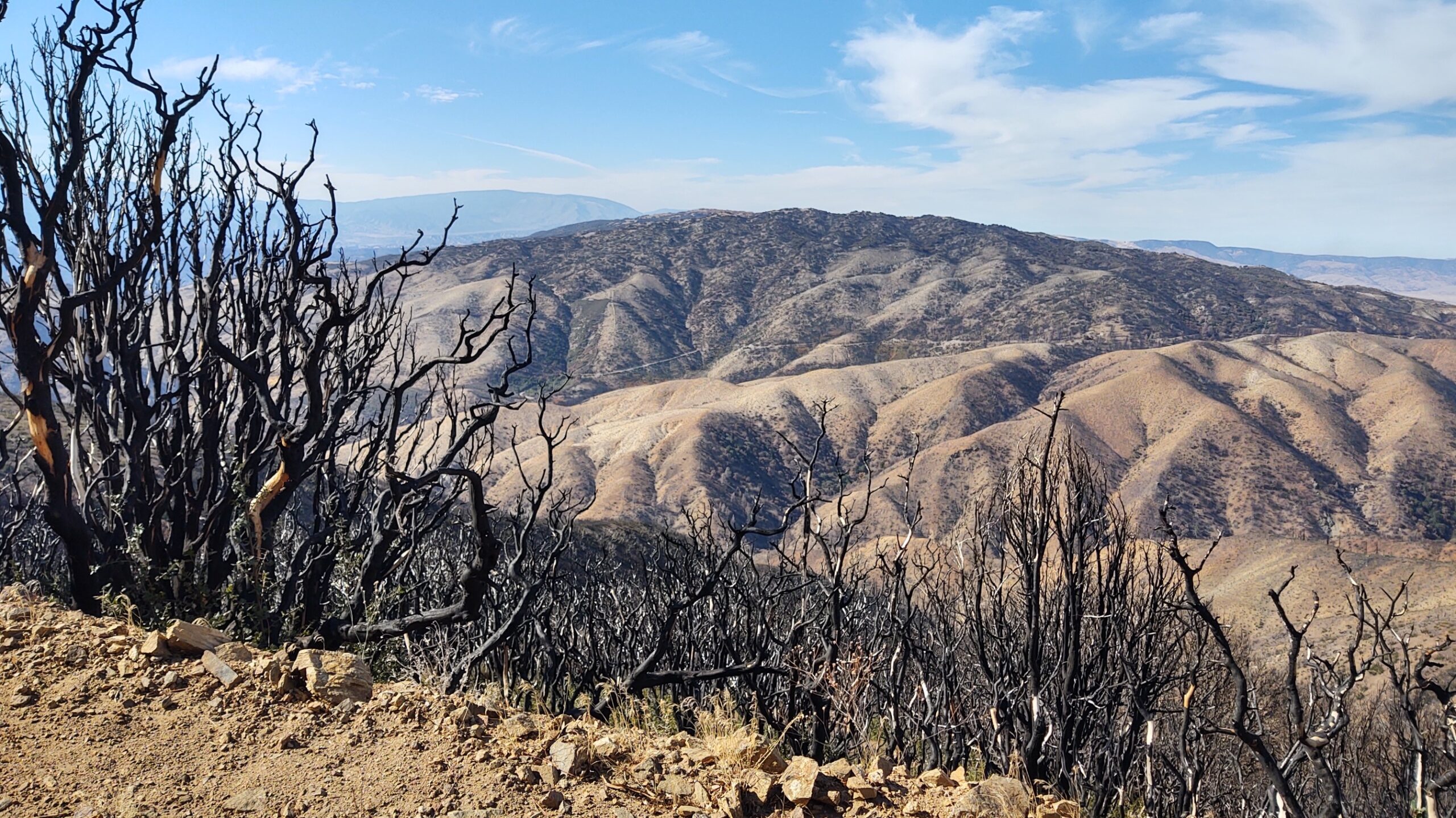
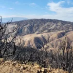
Liebre Mountain, photo by Steve Russell


Peakbagger.com

Nearest ranger station

NOAA Forecast

Google Earth


