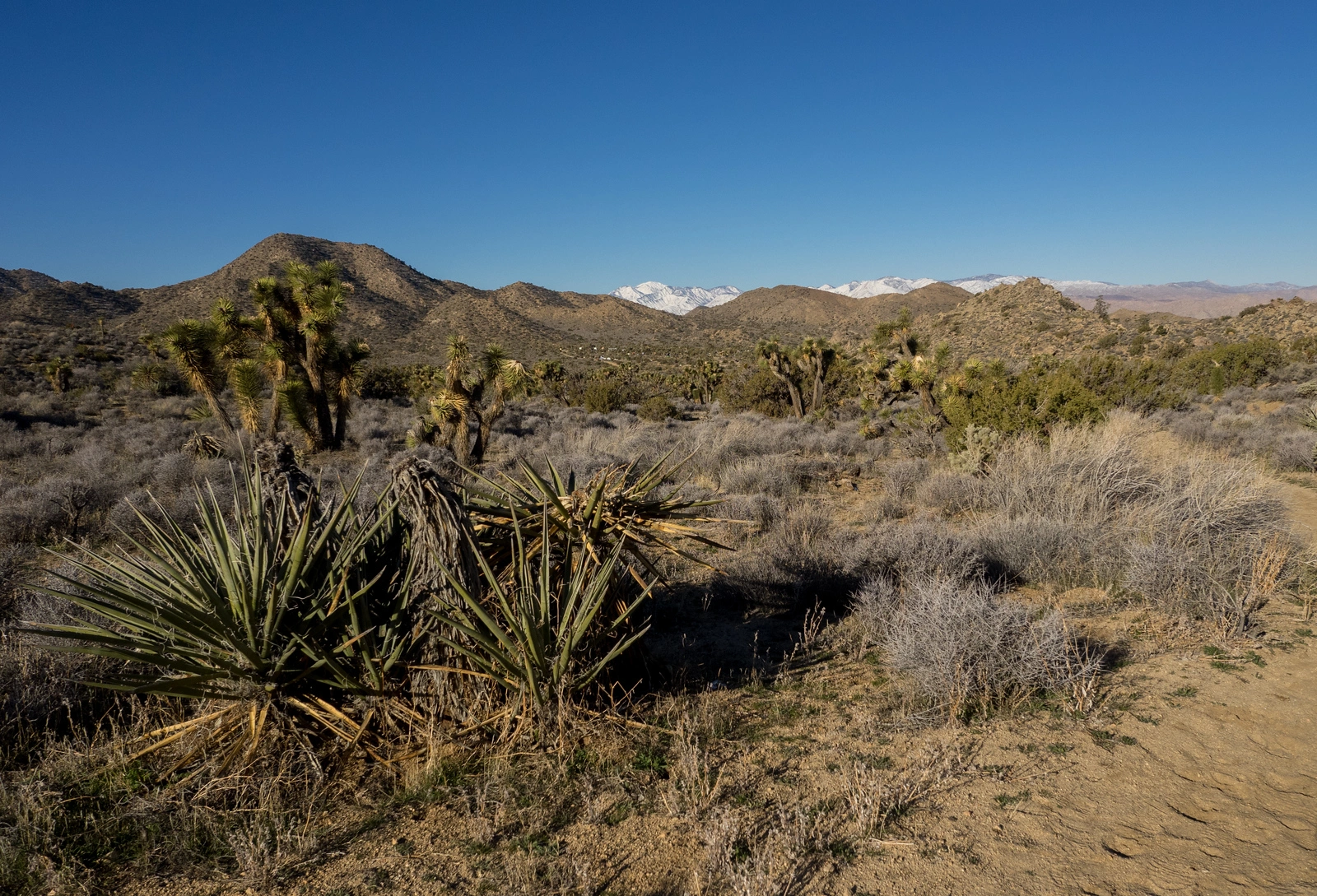
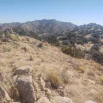
Eureka Peak, photo by Kathy Wing
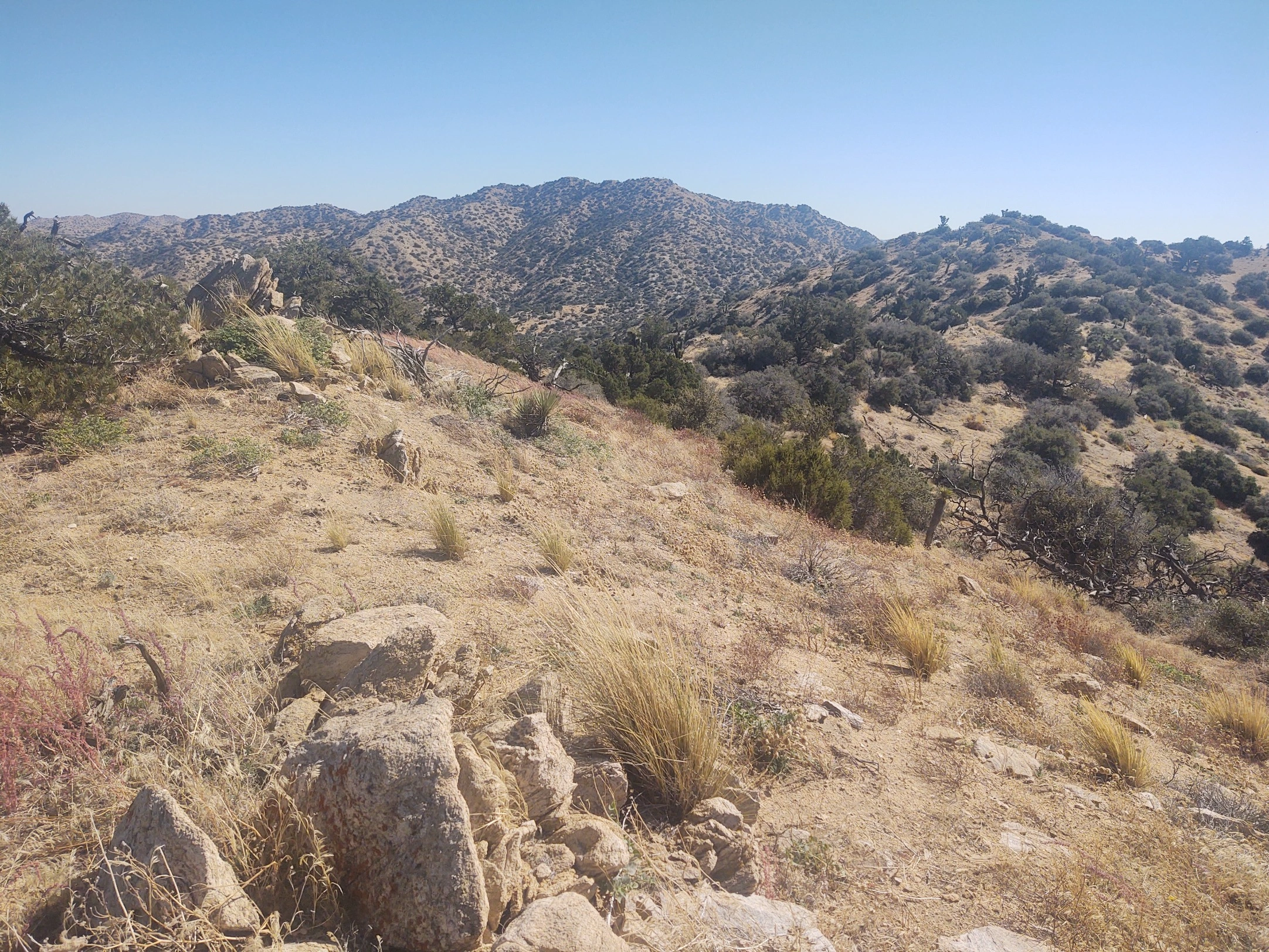
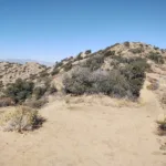
Eureka, photo by Steve Russell
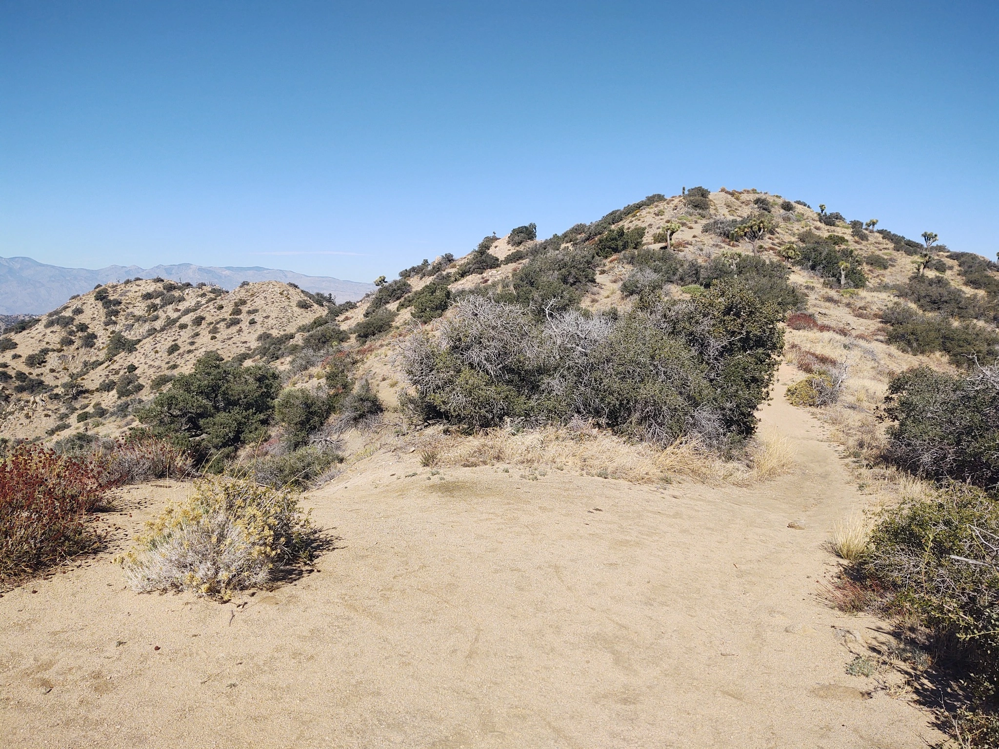
Eureka Summit, photo by Steve Russell
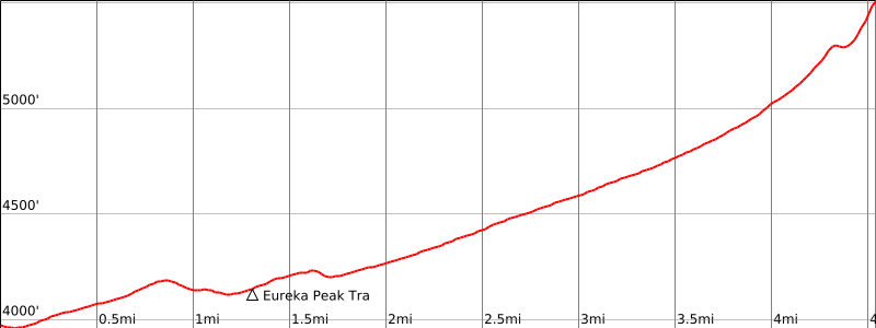

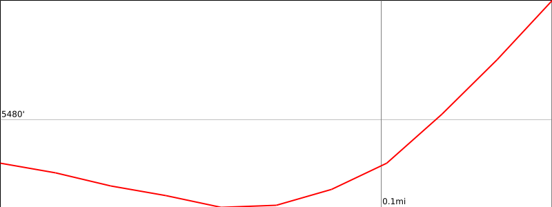

Peakbagger.com

Nearest ranger station

NOAA Forecast

Google Earth


