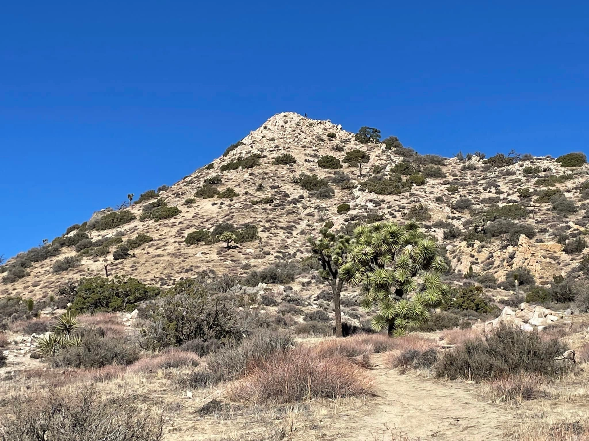
Warren Point, photo by Sunny Yi
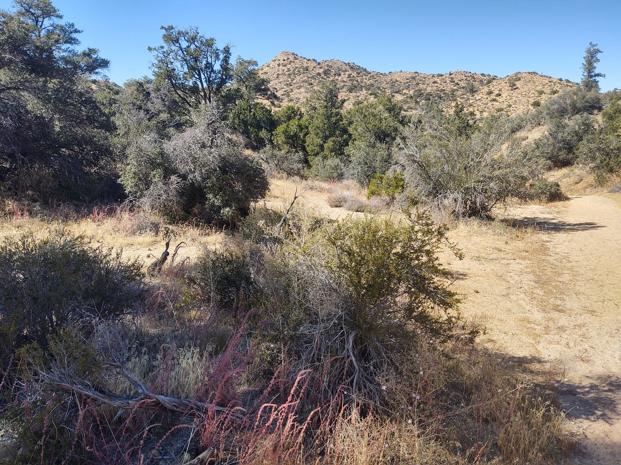
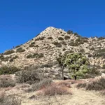
Warren Point, photo by Steve Russell
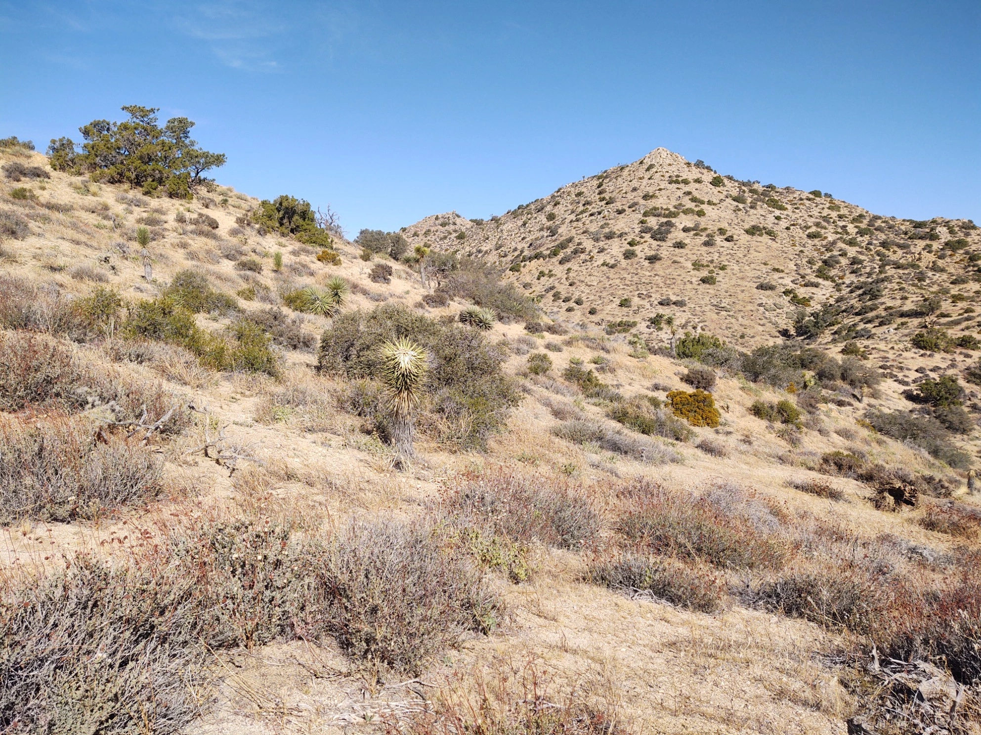
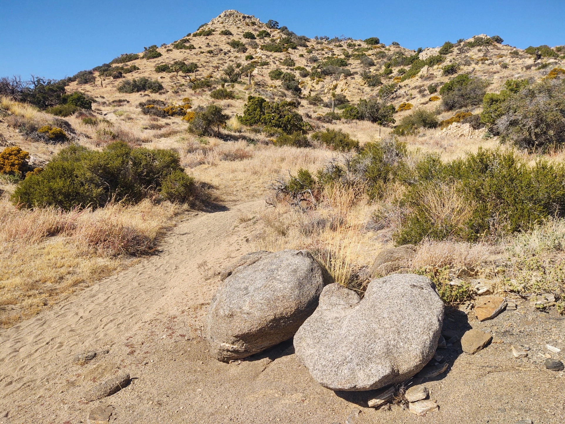
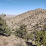
Warren, photo by Steve Russell
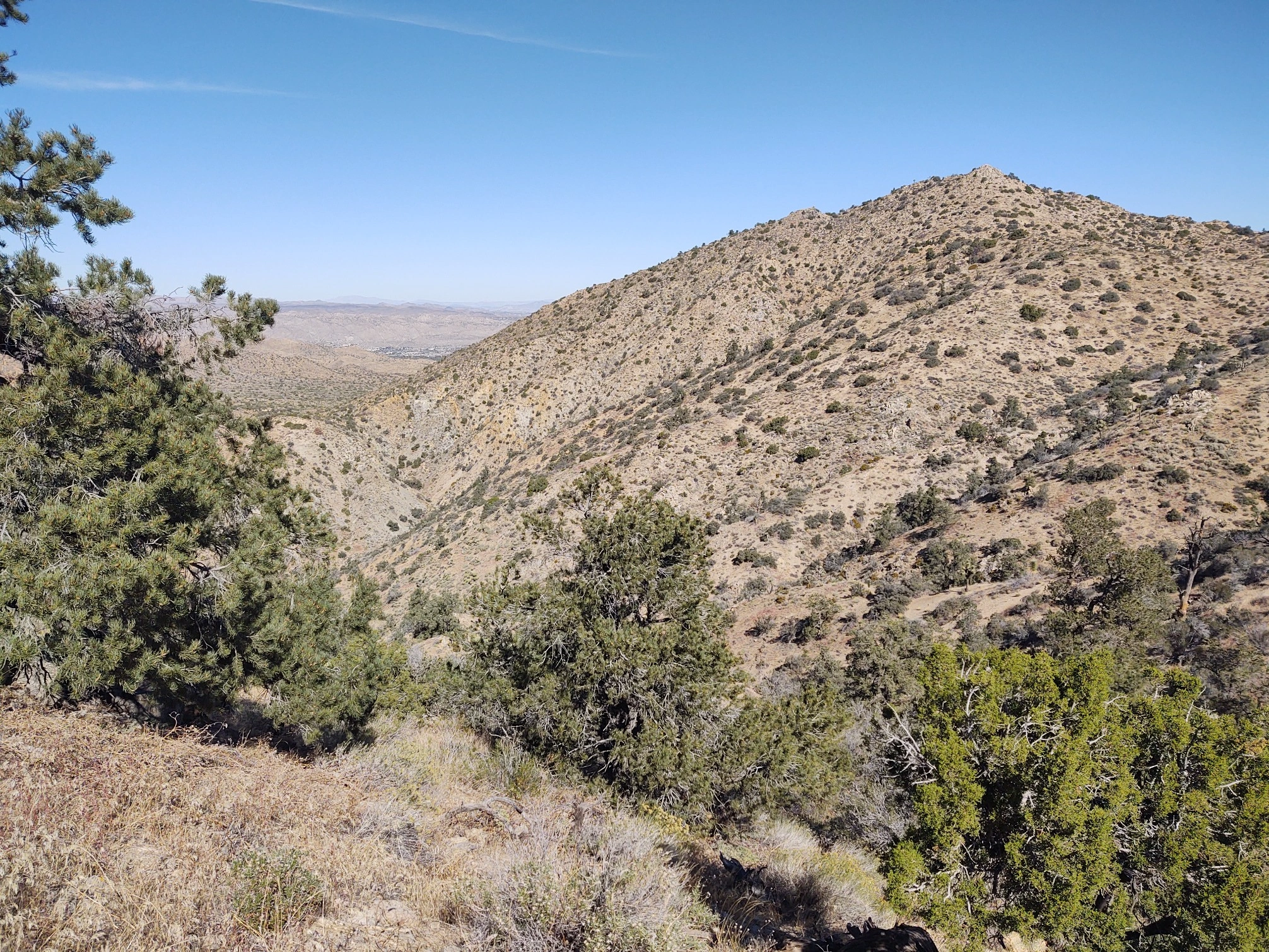
Warren, photo by Steve Russell
Warrren, photo by Steve Russell


Peakbagger.com

Nearest ranger station

NOAA Forecast

Google Earth


