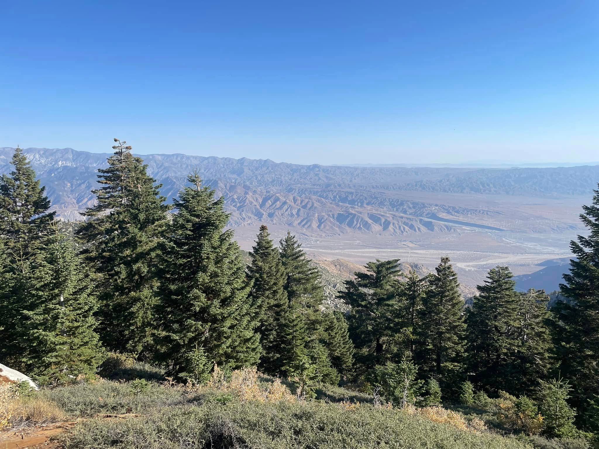
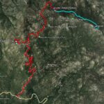
Castle Rocks, photo by Google Earth
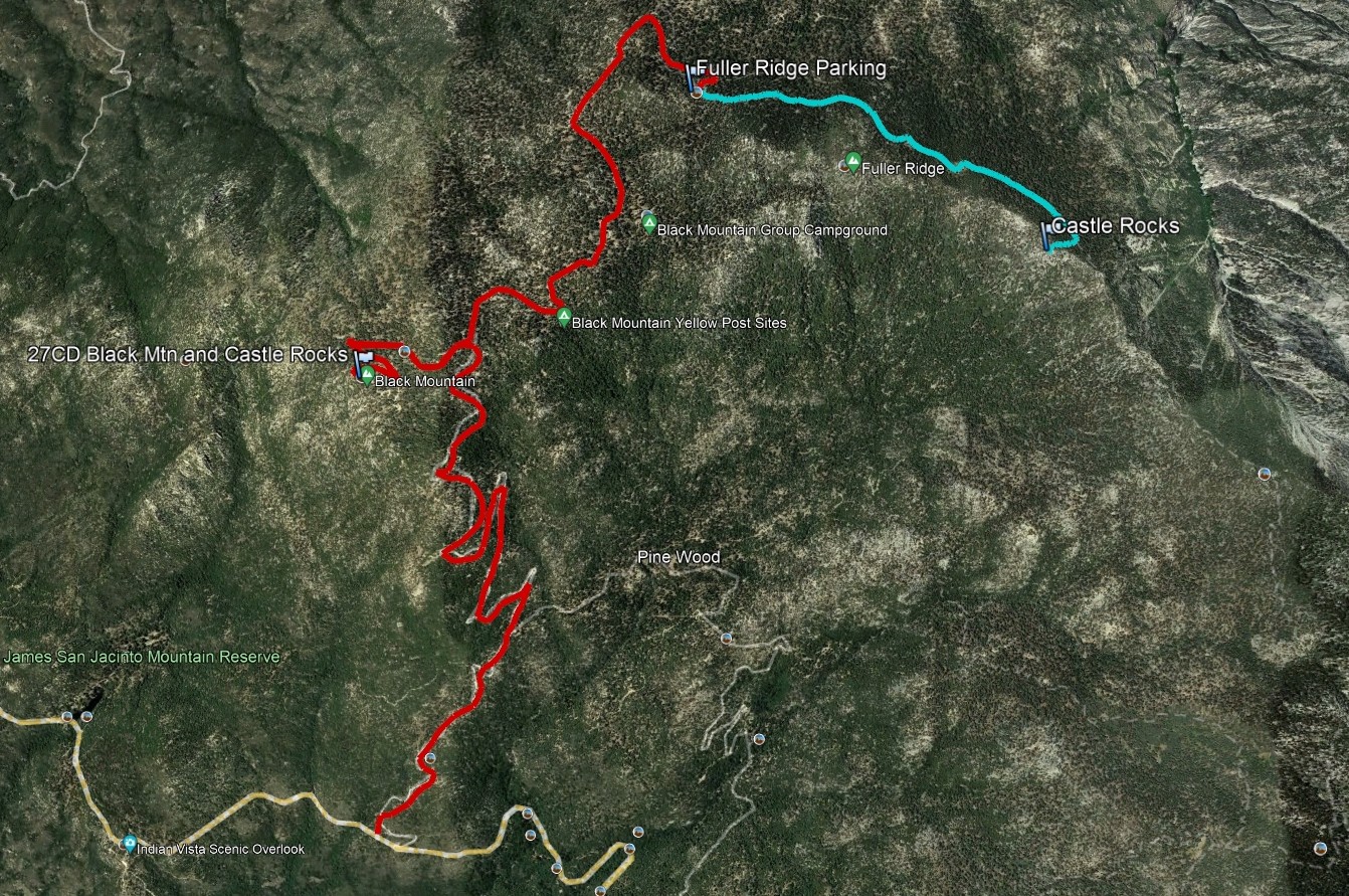
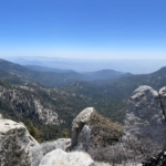
View from summit of Castle Rocks, photo by Sunny Yi
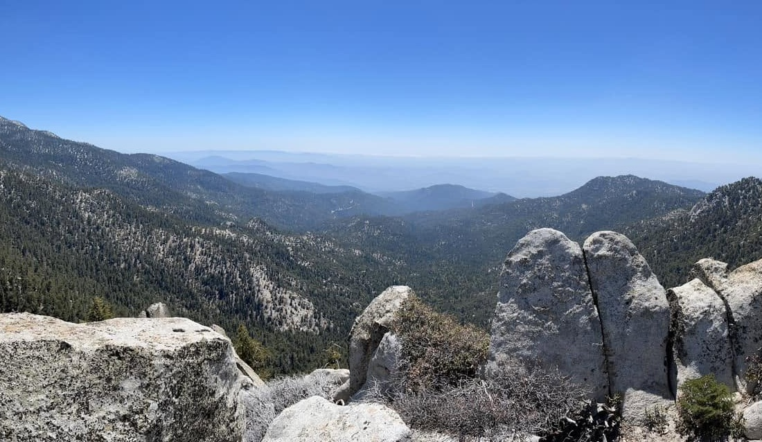
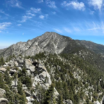
View from Summit of Castle Rocks, photo by John Sheehe
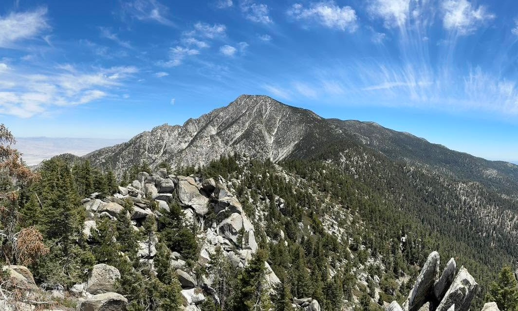
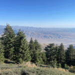
View looking north from summit of Castle Rocks, photo by John Sheehe


Peakbagger.com

Nearest ranger station

NOAA Forecast

Google Earth


