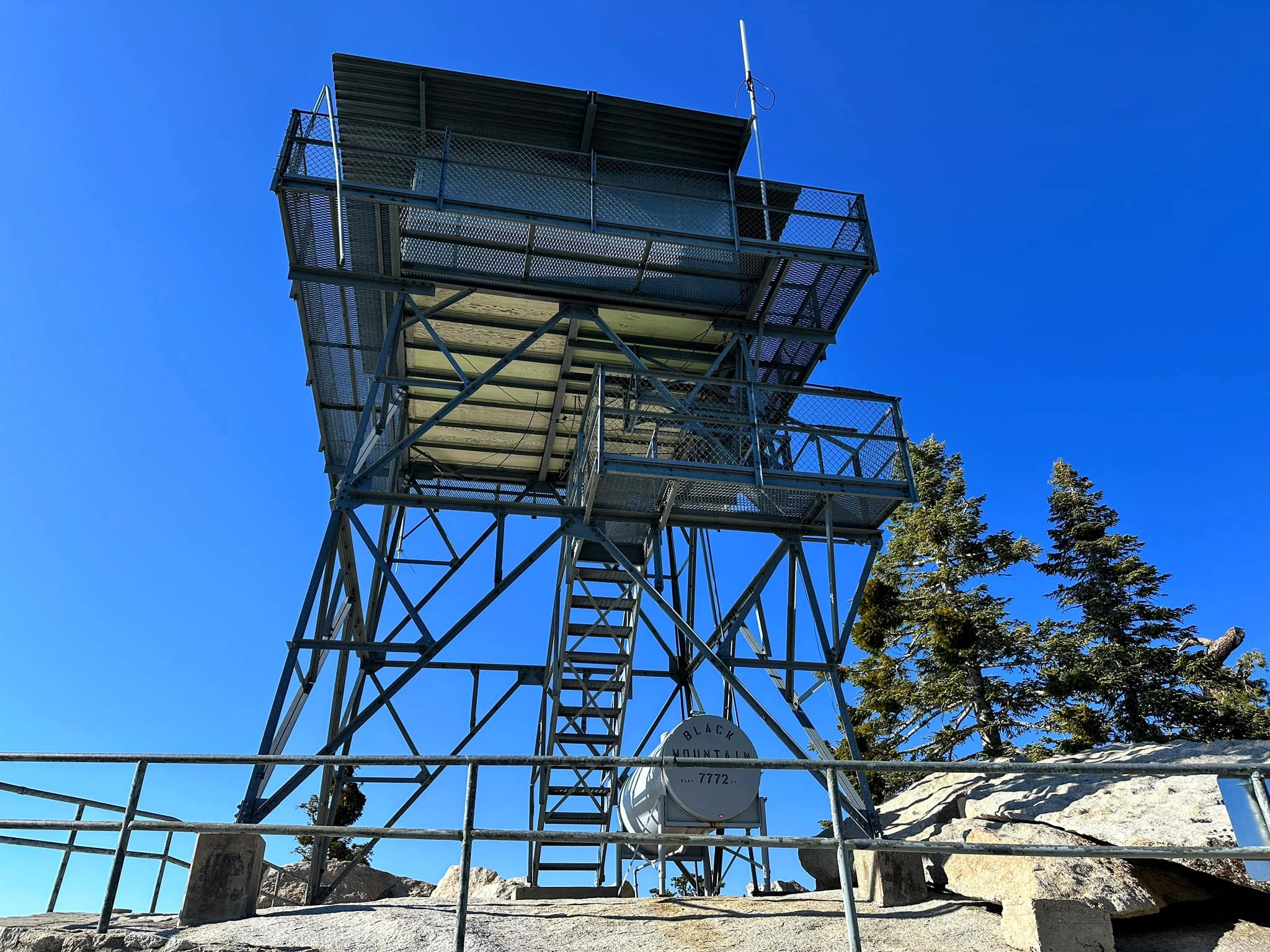
Black #1 Lookout, photo by Sunny Yi
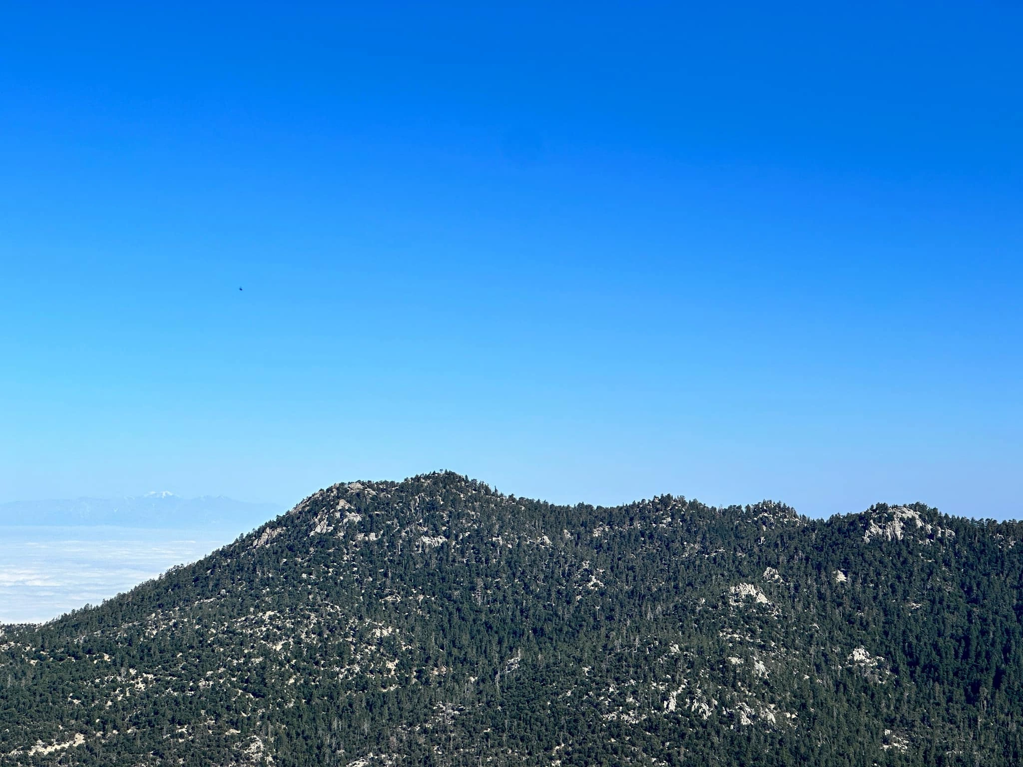
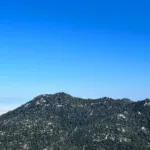
Black Mountain #1, photo by Sunny Yi
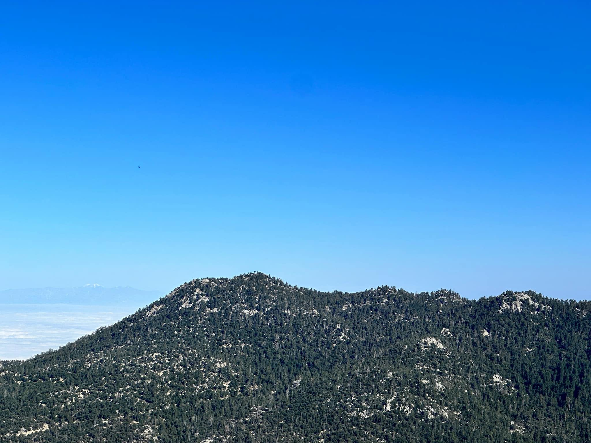
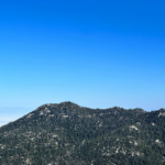
Black #1 summit, photo by Sunny Yi


Peakbagger.com

Nearest ranger station

NOAA Forecast

Google Earth


