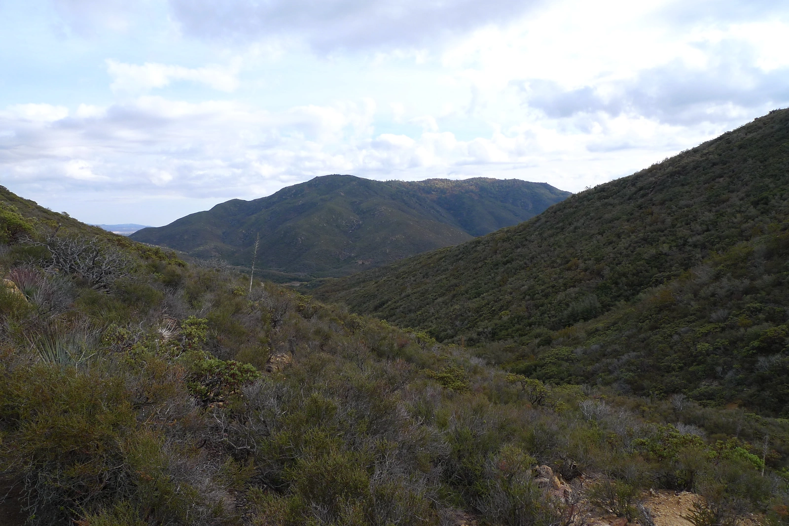
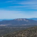
Cahuilla Mountain, taken from the trail to Little Cahuilla, photo by Kathy Wing
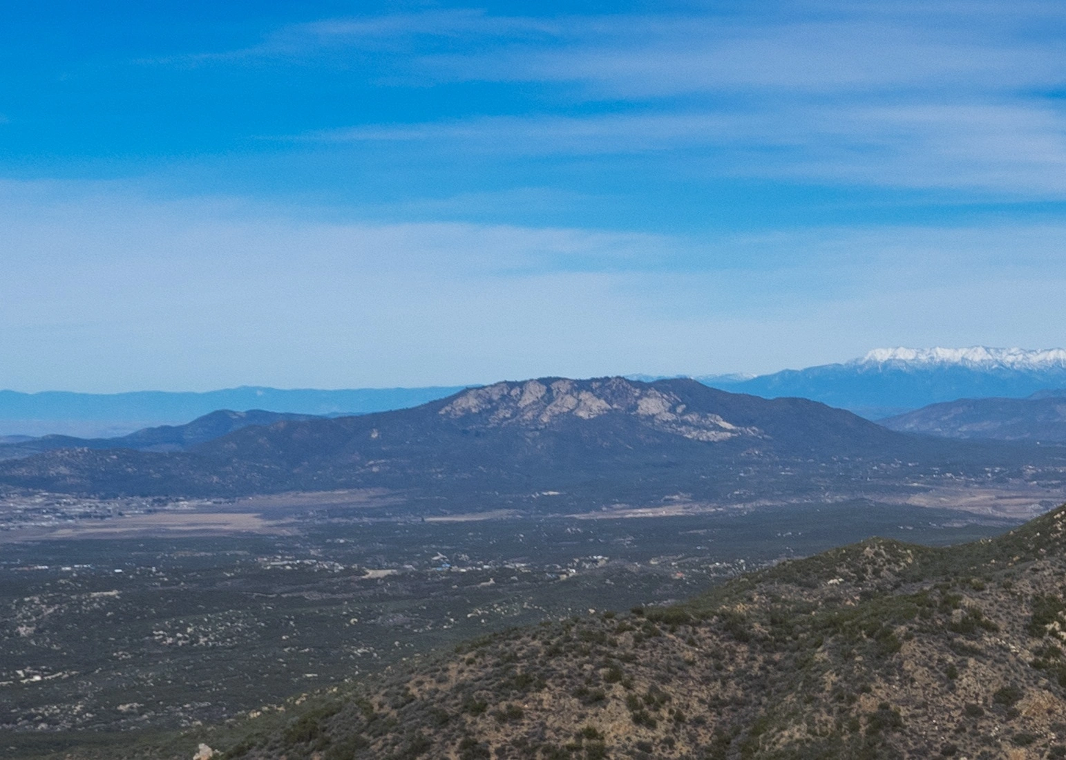
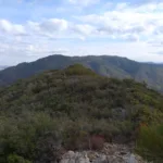
Cahuilla Mountain, taken from Beauty Peak, photo by Kathy Wing
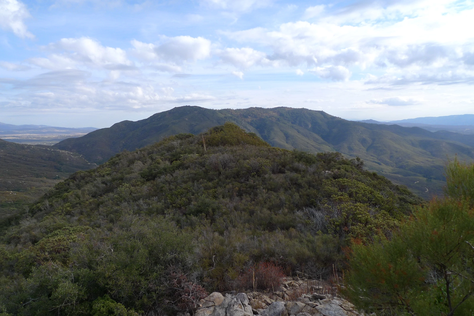
Cahuilla Mountain, taken from Little Cahuilla, photo by Kathy Wing


Peakbagger.com

Nearest ranger station

NOAA Forecast

Google Earth


