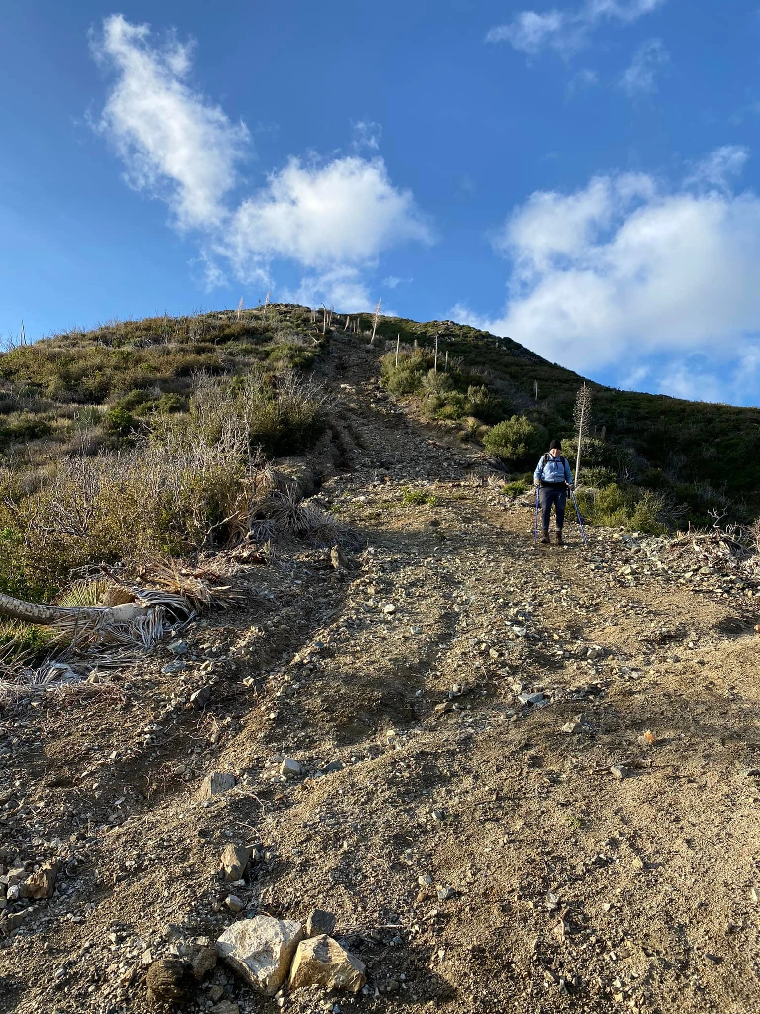
Barley Flats, photo by Michael Sallwasser
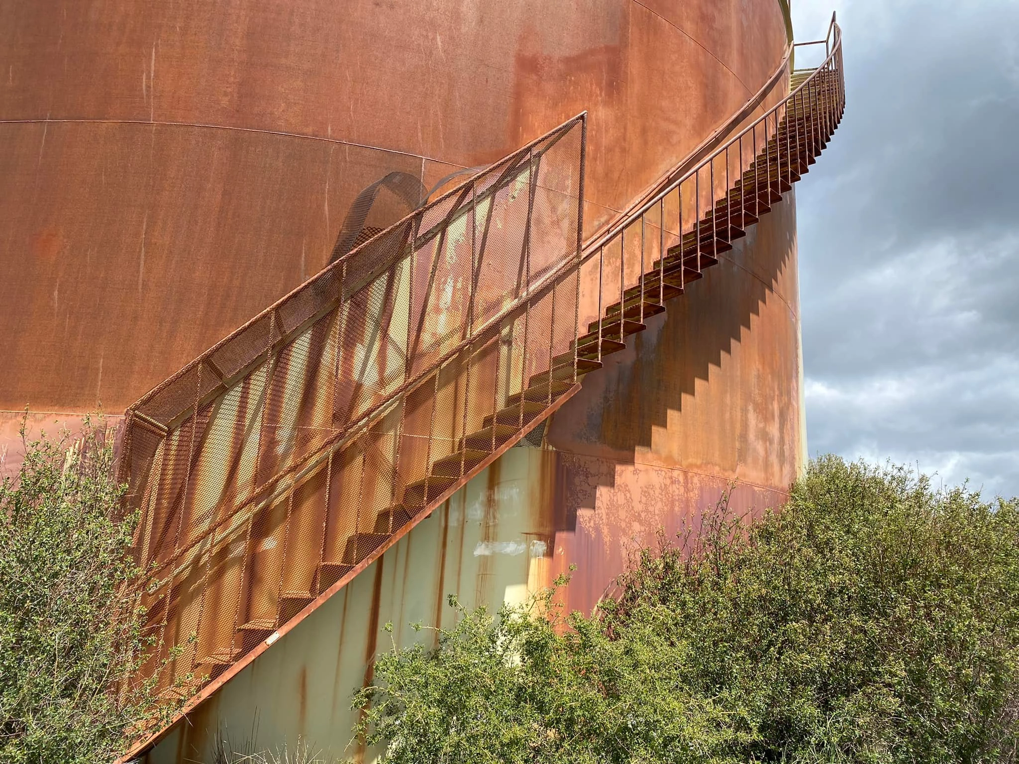
Barley Flats Summit Tanks, photo by Michael Sallwasser


Peakbagger.com

Nearest ranger station

NOAA Forecast

Google Earth


