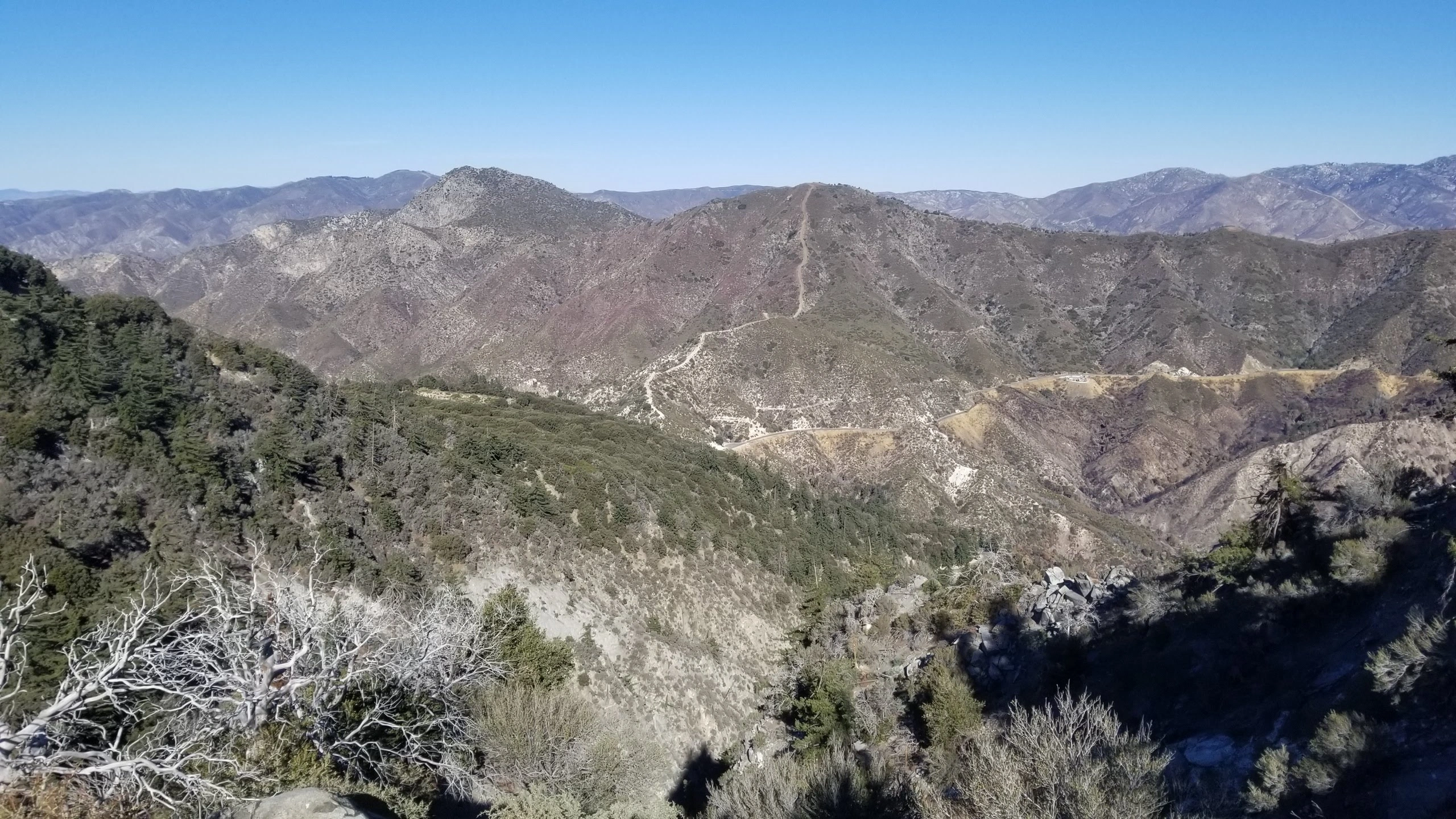
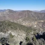
Mount Lawlor, taken from San Gabriel, photo by Chris Waldheim
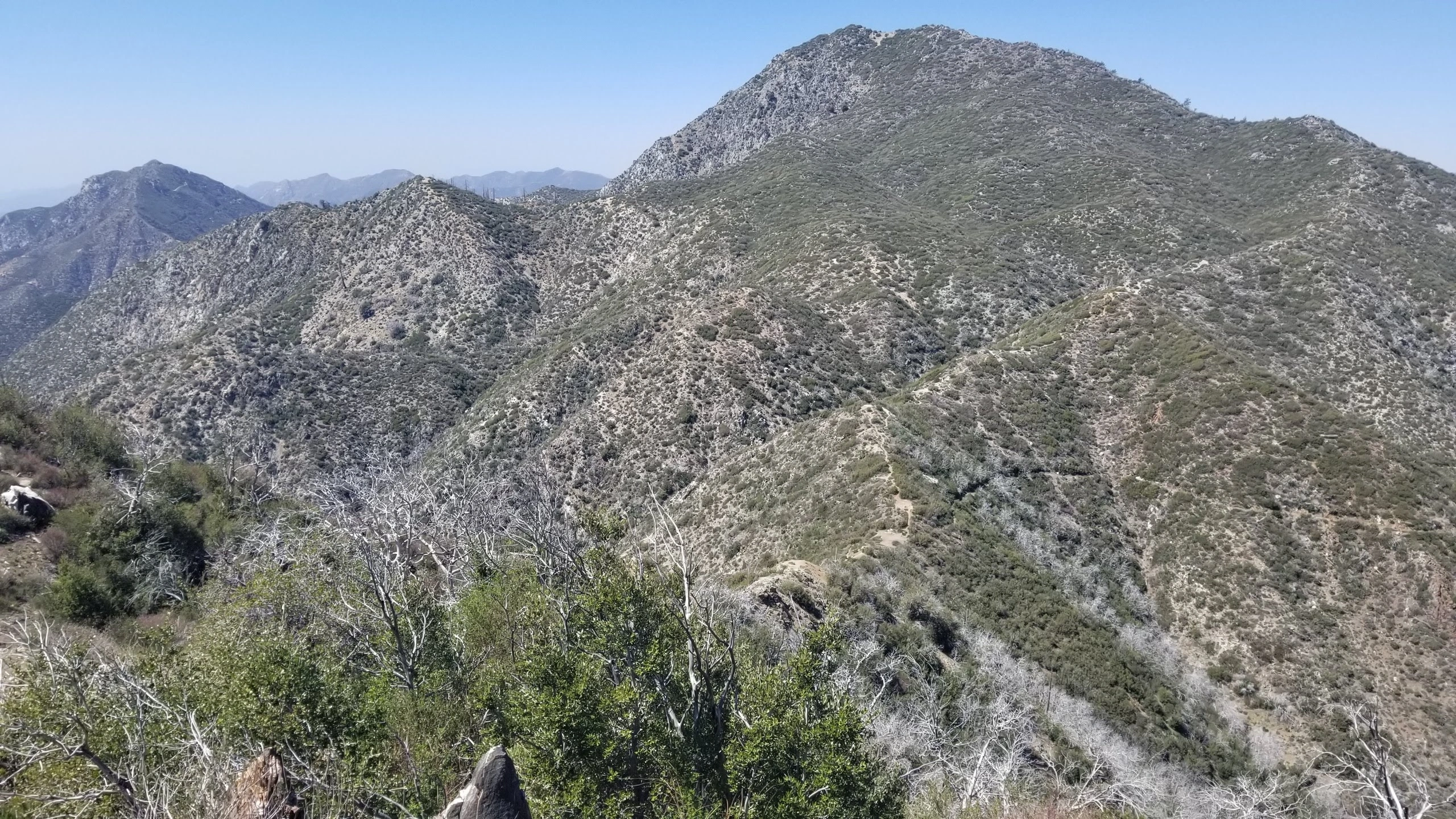
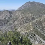
Mount Lawlor, taken from Strawberry, photo by Chris Waldheim

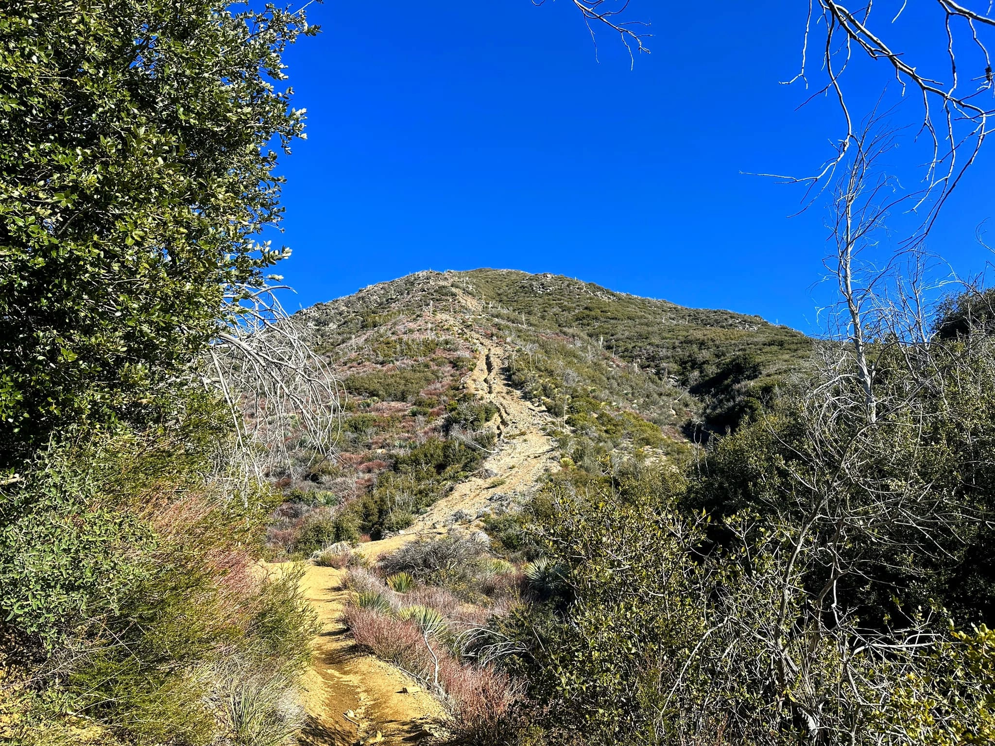
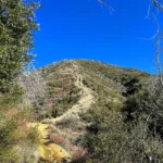
Mount Lawlor Route 2 from Mount Wilson Road, photo by Jim Hagar
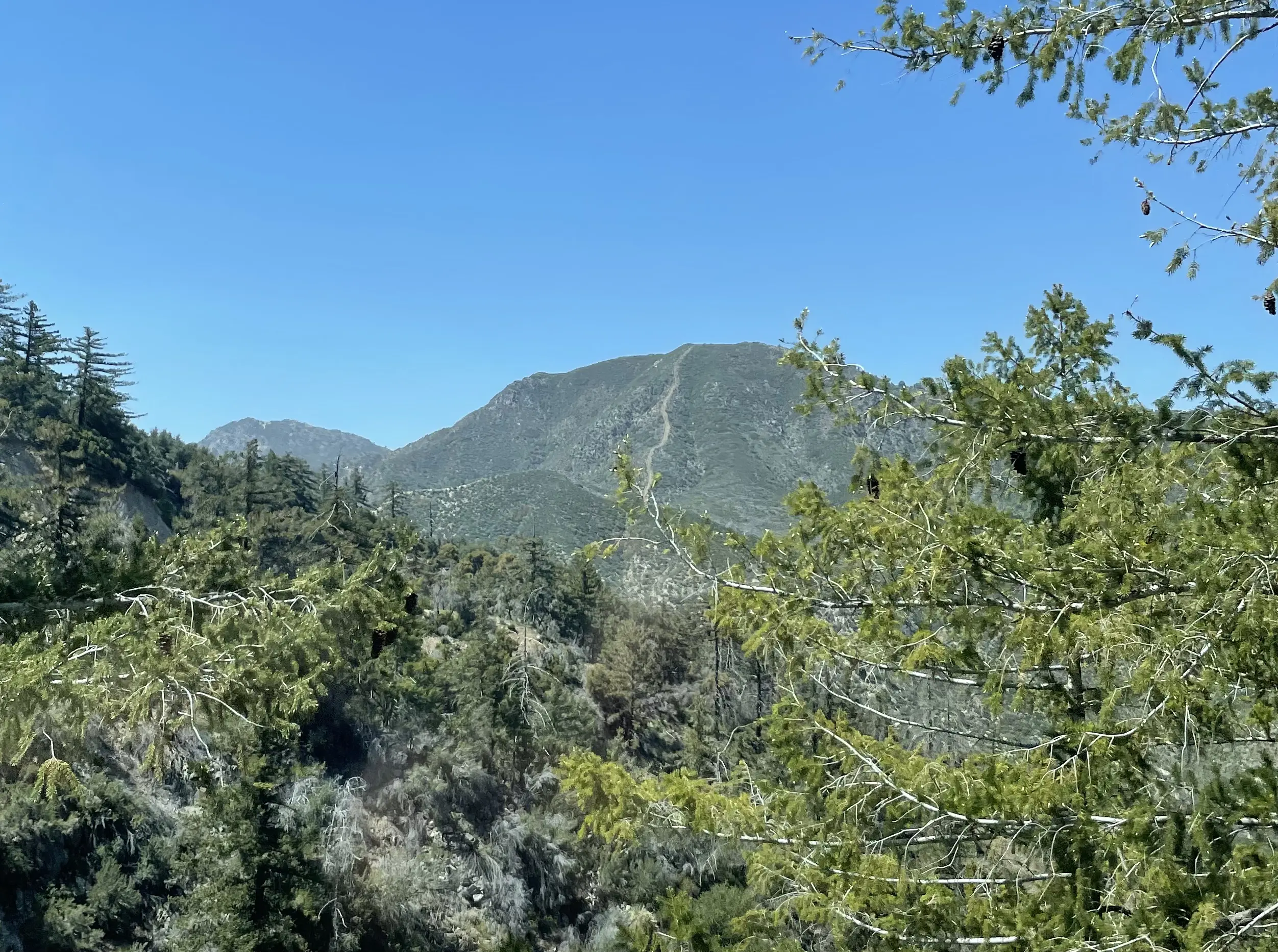
Mount Lawlor, photo by Sunny Yi
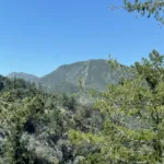
Mount Lawlor Route 2 from Mount Wilson Road, photo by Jim Hagar


Peakbagger.com

Nearest ranger station

NOAA Forecast

Google Earth


