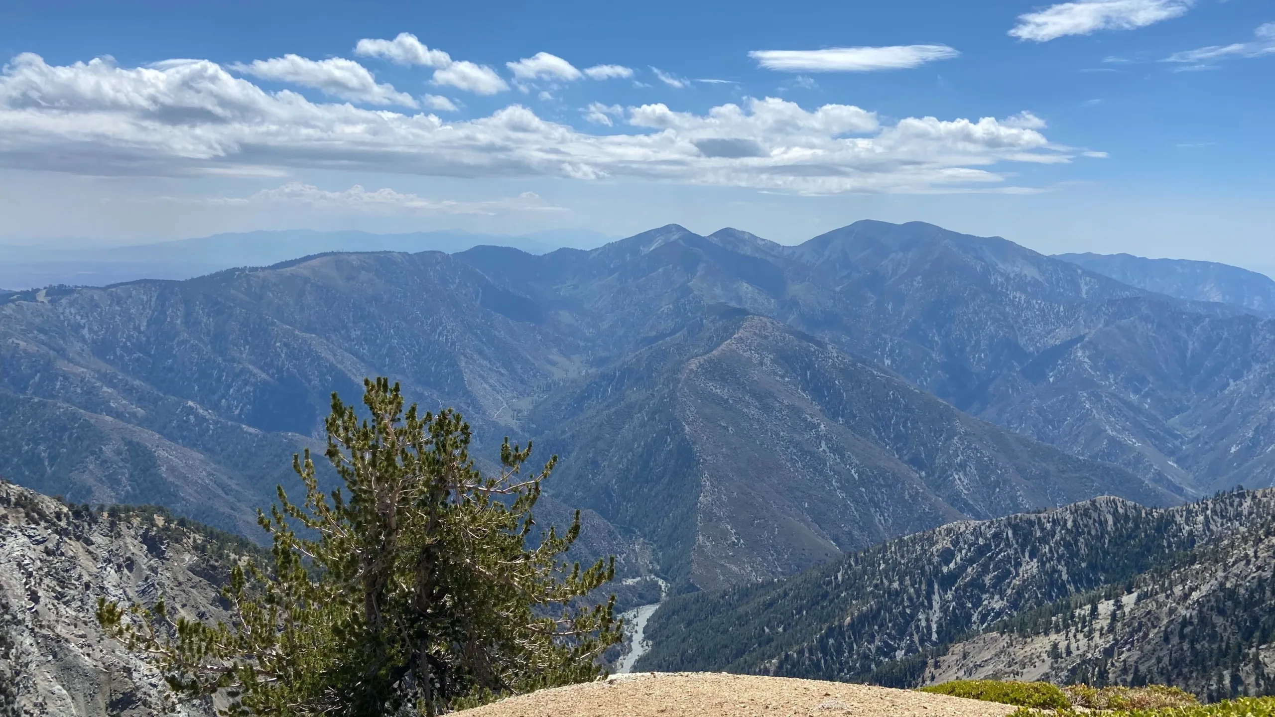
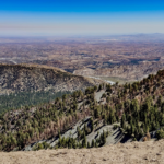
Wright Mountain, taken from Baden Powell, photo by Makko Suzuki
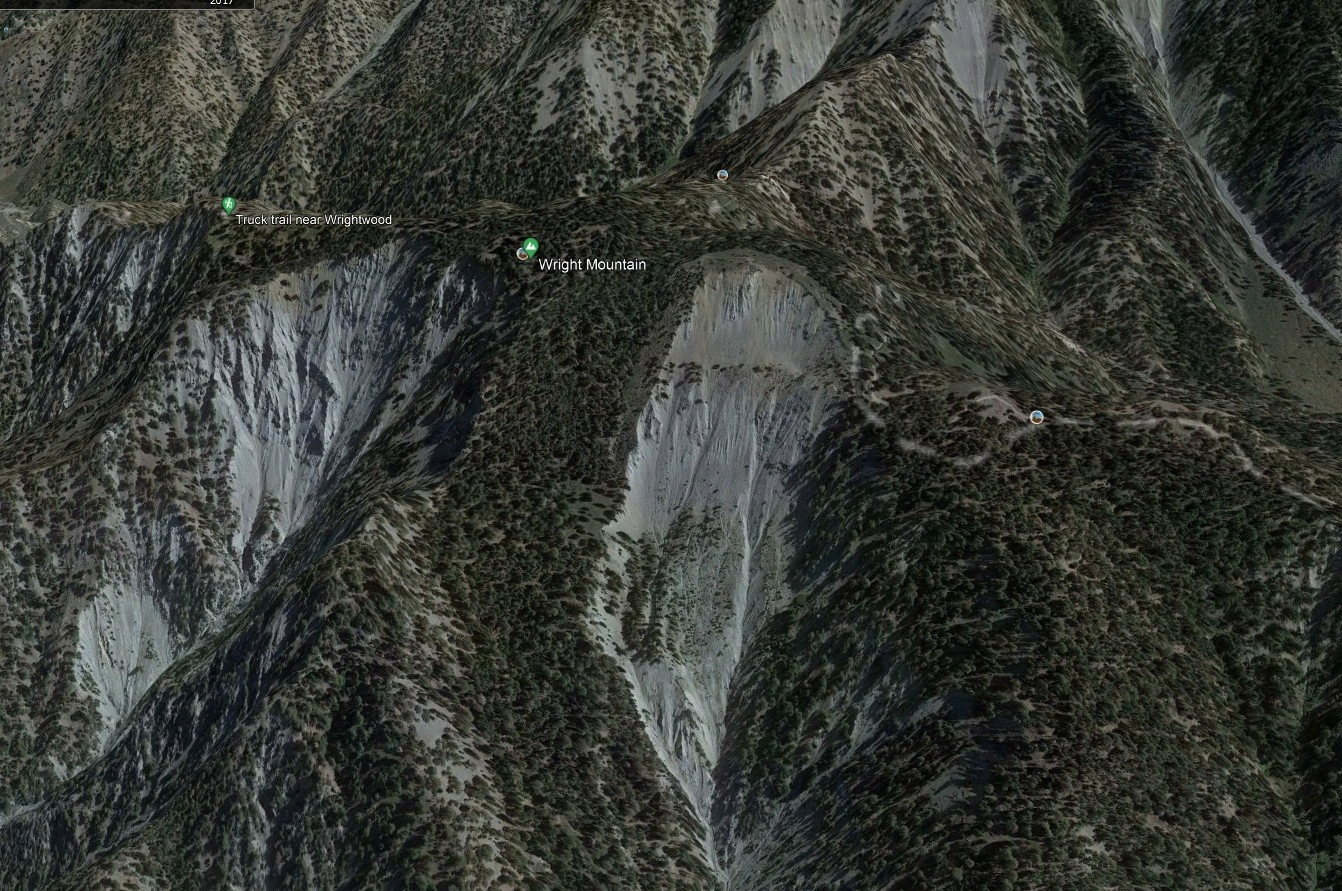
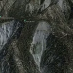
Wright Mountain, photo by Google Earth
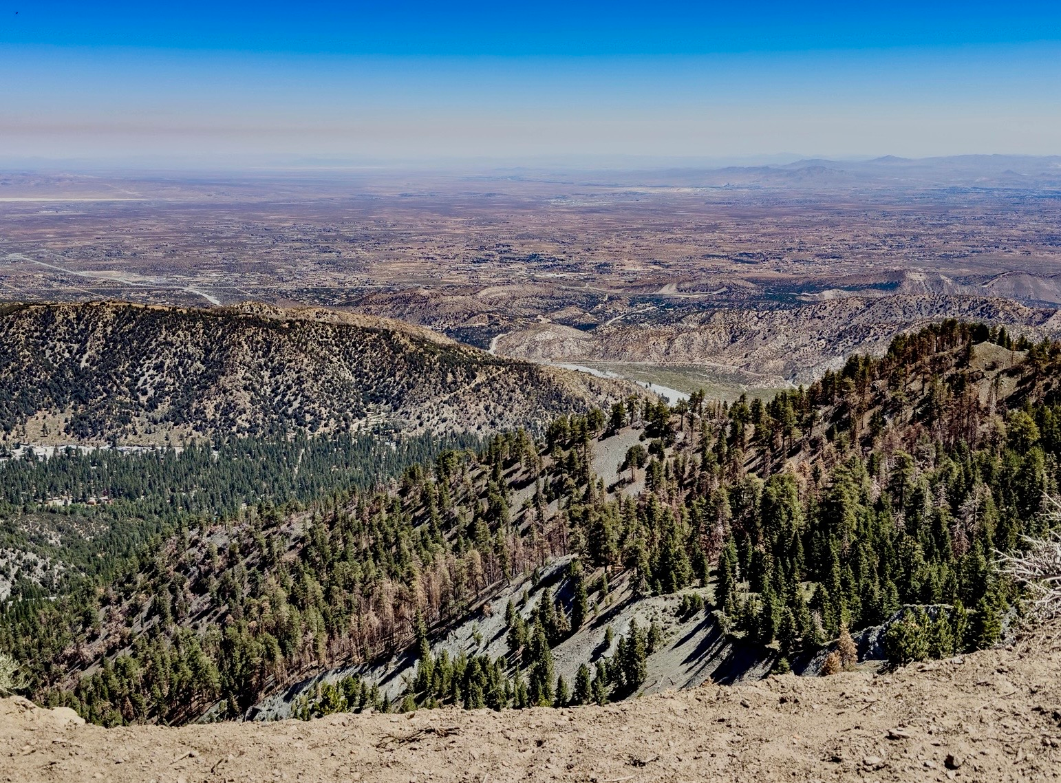
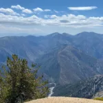
View from Wright Mountain, photo by Paul Maurin
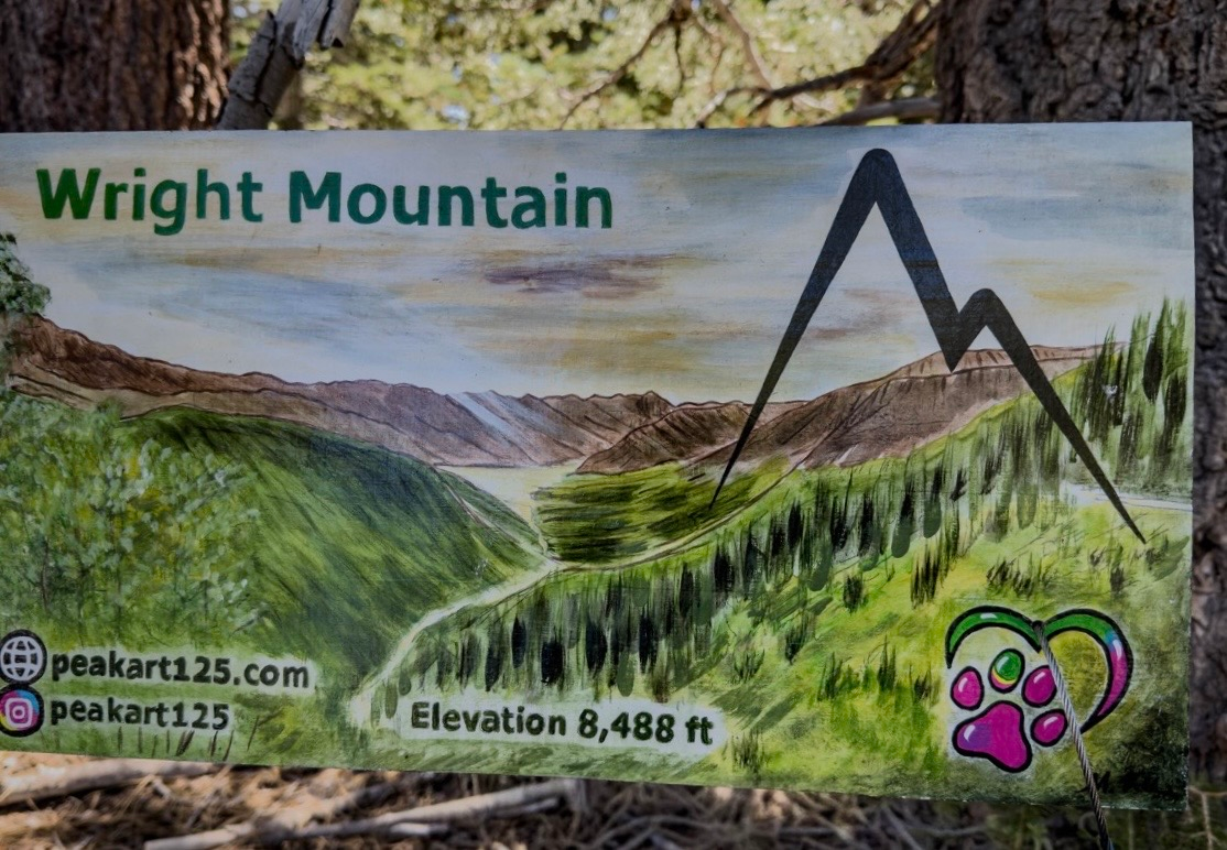
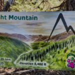
Lovely hand painted sign, Wright Mountain summit, July 2026. Photo by Paul Maurin


Peakbagger.com

Nearest ranger station

NOAA Forecast

Google Earth


