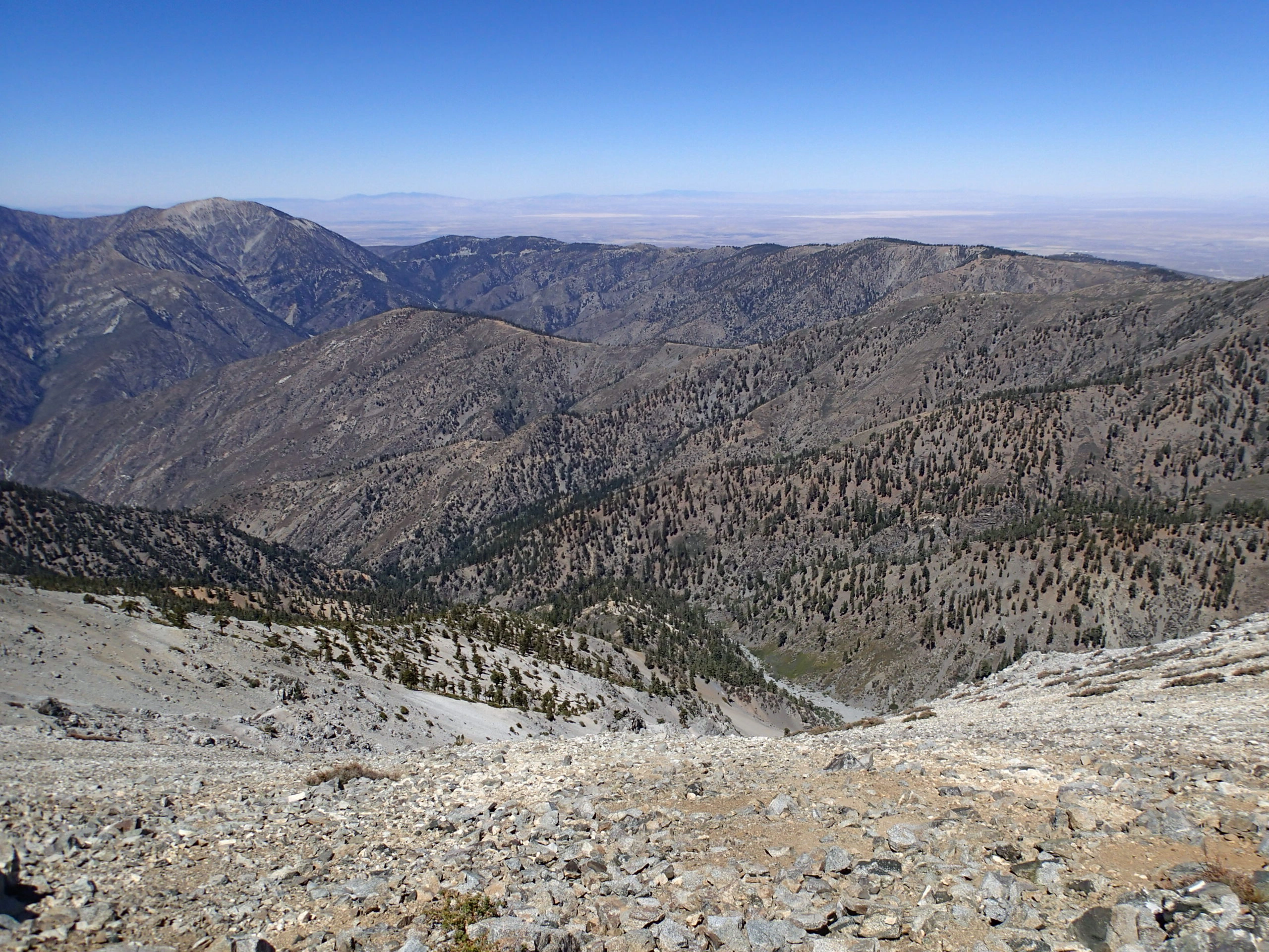
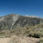
Pine Mountain Ridge, taken from Baldy Trail, photo by Chris Waldheim
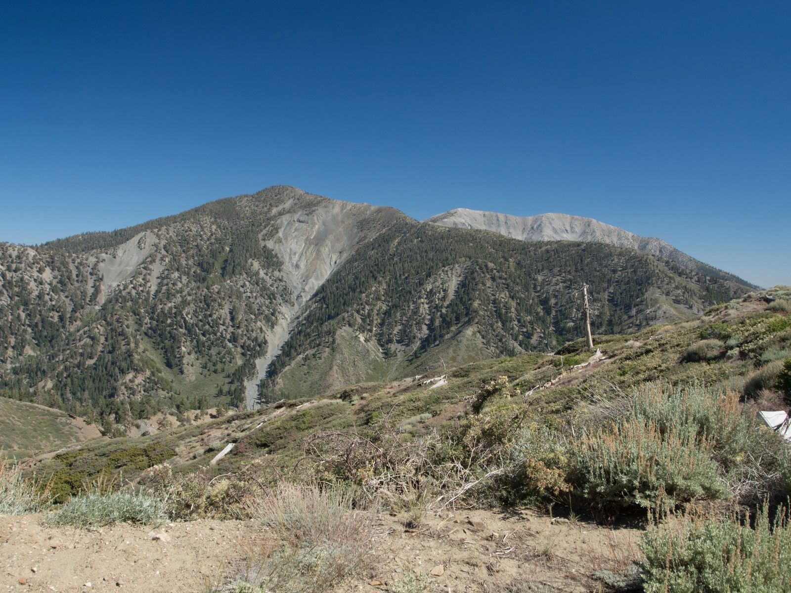
Pine Mountain Ridge, photo by Kathy Wing
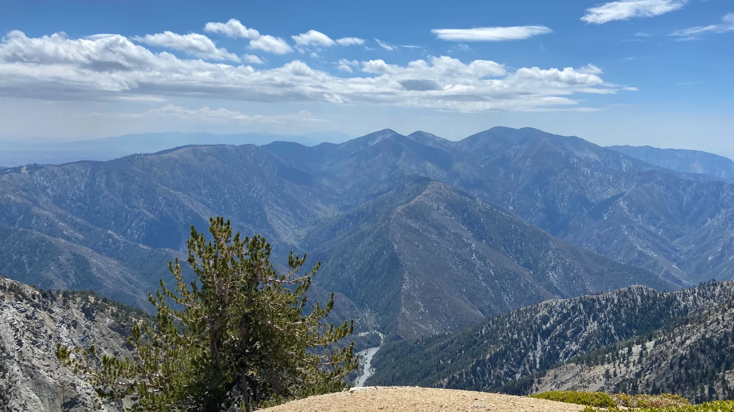
Pine Mountain Ridge, taken from Baden Powell, photo by Makko Suzuki


Peakbagger.com

Nearest ranger station

NOAA Forecast

Google Earth


