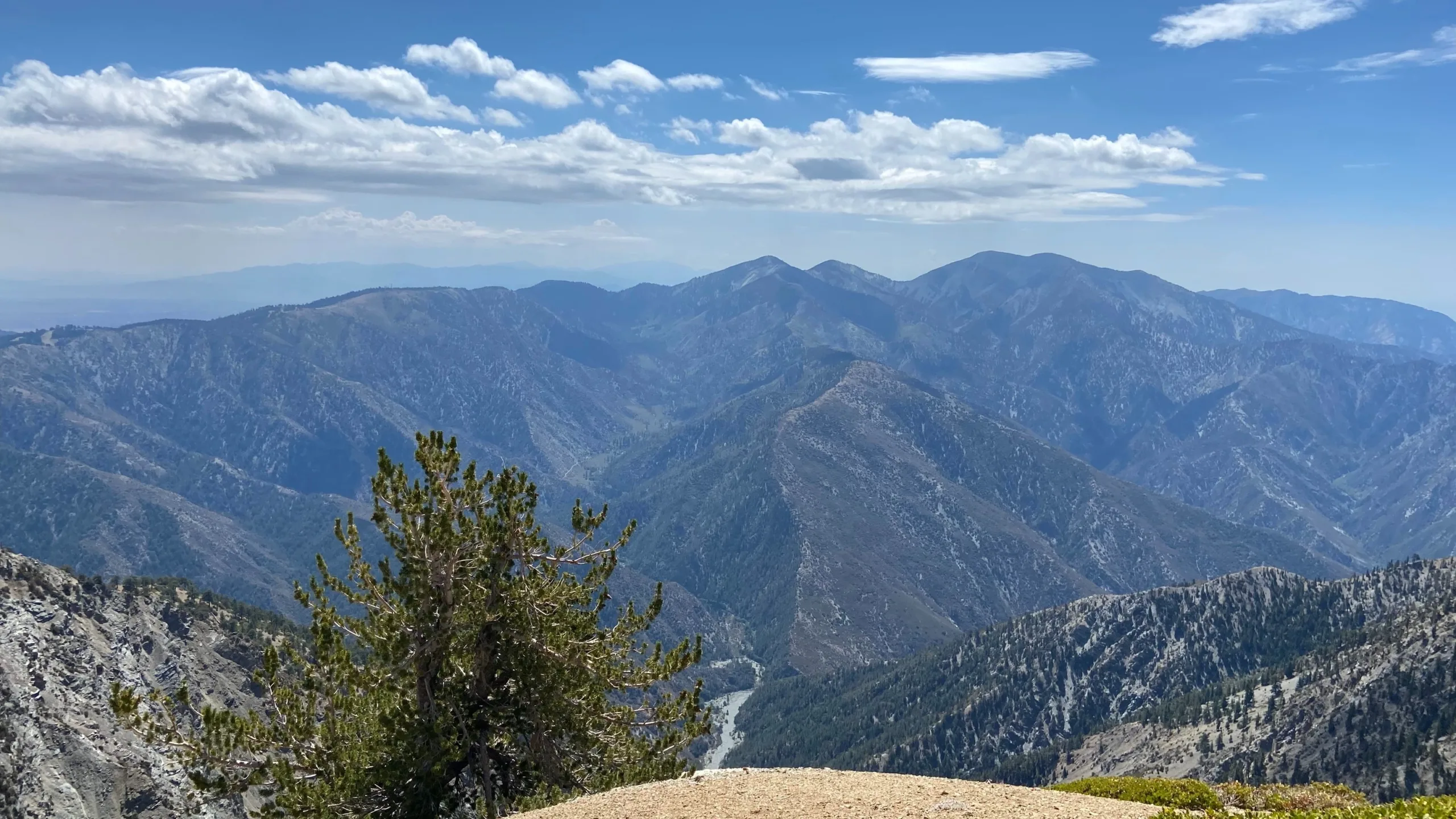
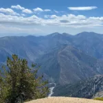
Wild View Peak, taken from Baden Powell, photo by Makko Suzuki
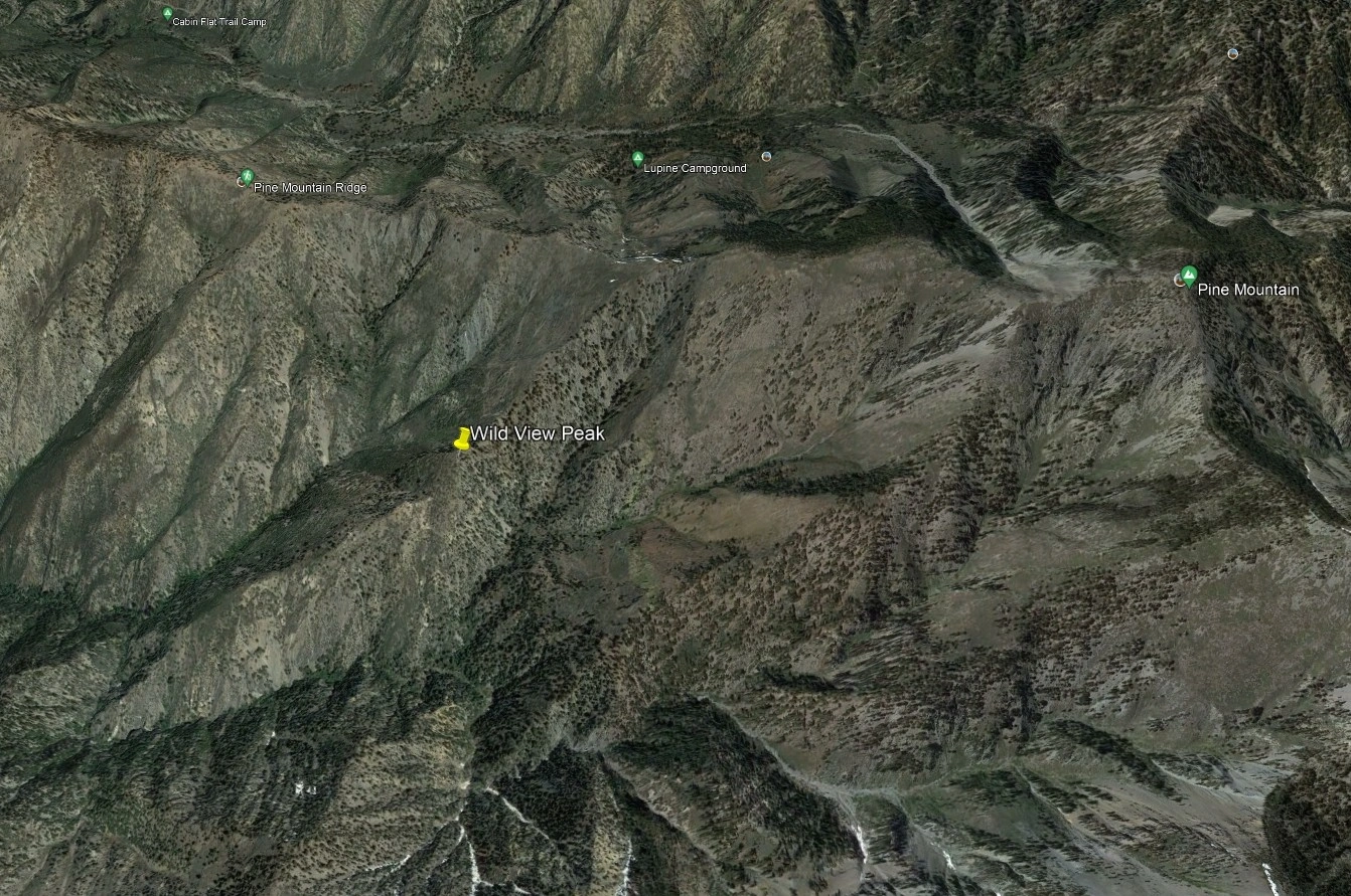
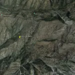
Wild View Peak, photo by Google Earth


Peakbagger.com

Nearest ranger station

NOAA Forecast

Google Earth


