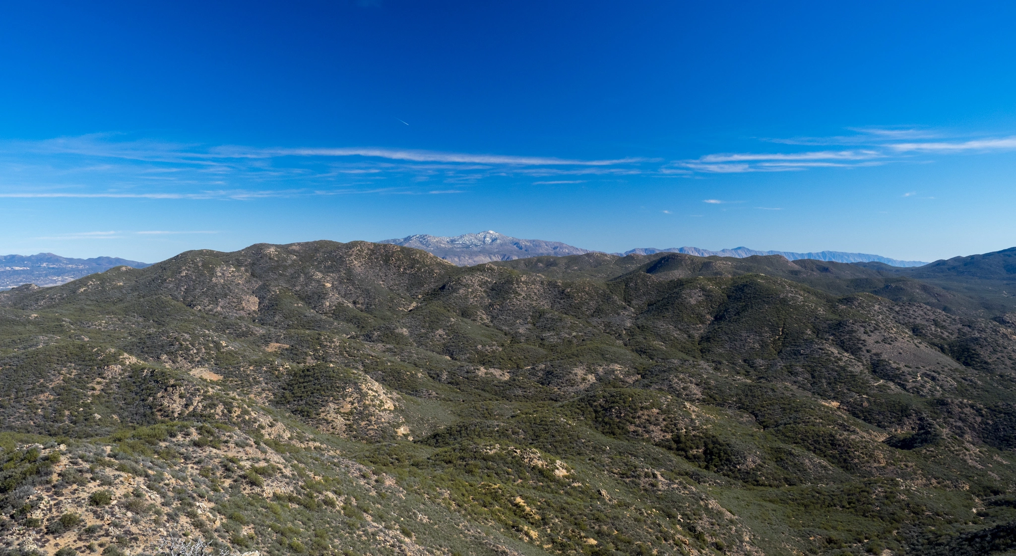
Iron Spring Mountain in the distance, photo by Kathy Wing
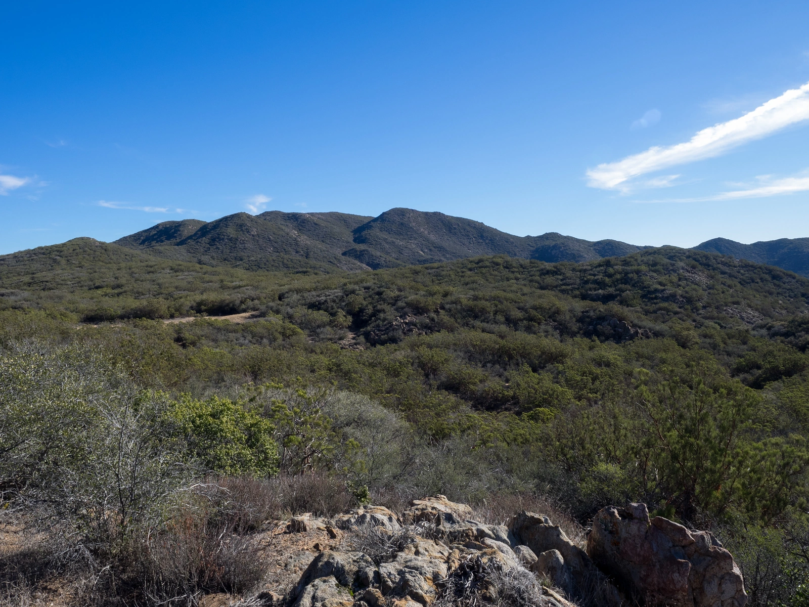
IronSpring Mountain, photo by Kathy Wing


Peakbagger.com

Nearest ranger station

NOAA Forecast

Google Earth


