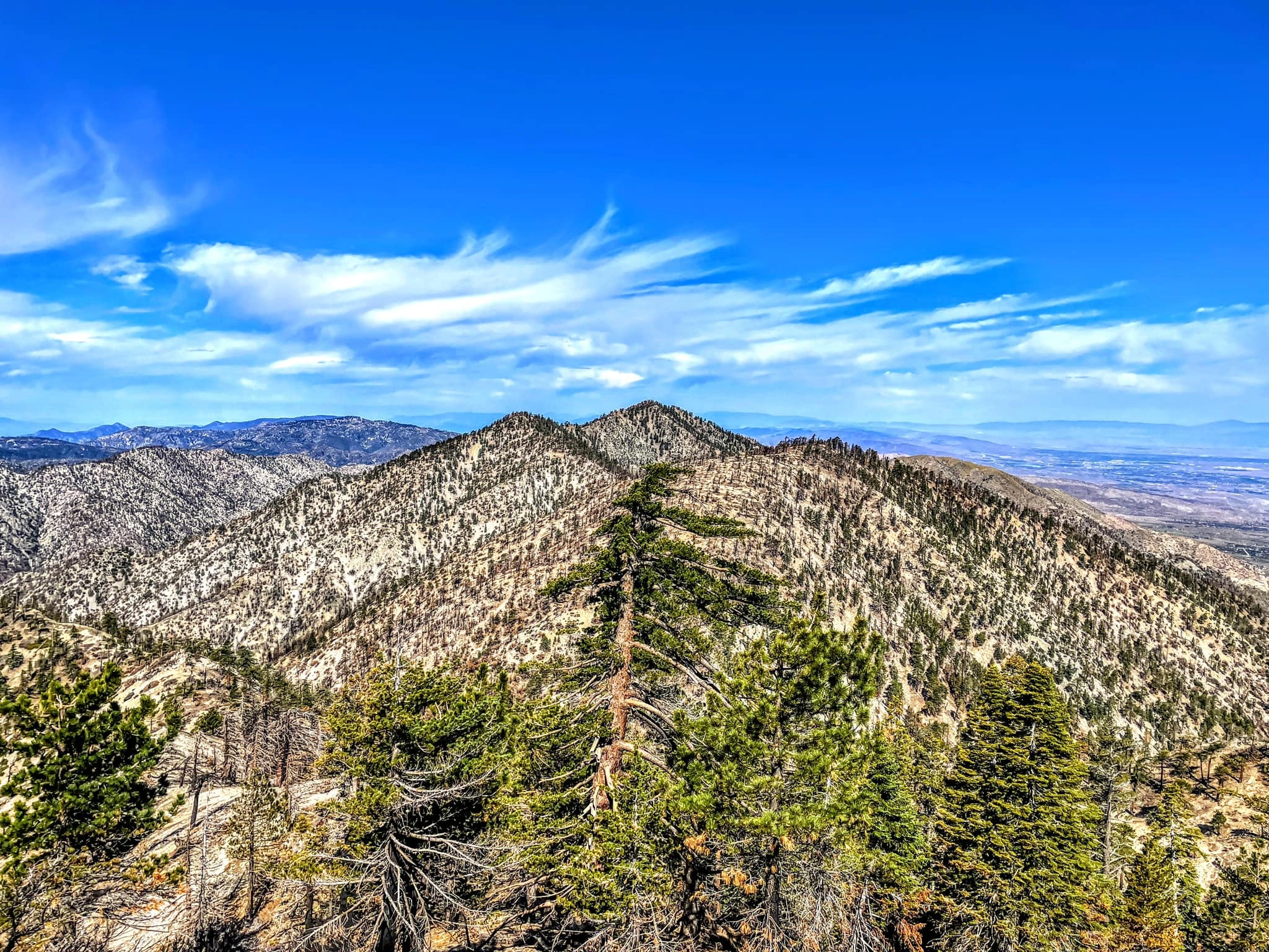
Peak Name
Elevation
feet
Status
Region
Range
Nearby peaks
Location
Maps generated from CalTopo.com, reproduced with permission
Driving route
From the intersection of I-210 and Angeles Crest Highway (SR 2), drive north on Angeles Crest Highway 33.5 miles to the entrance to Buckhorn Campground on the left. Turn left.
Proceed down the entrance road and then turn left at the next two forks, then follow the signs “Burkhart Trail” to a large parking area.
If the campground entrance is locked, drive SR 2 another 0.8 mile to the campground exit road, which intersects SR 2 at a sharp angle to the left. Park beside the exit road and hike down through the campground to the signed trailhead. This adds 1 mile and 200′ gain to the round trip.
Hiking route
From the parking area (6460′), hike north down the Burkhart Trail (10W02) about 2 miles to a junction with the Pacific Crest Trail (PCT) near Cooper Canyon Falls.
Turn right (east) on the PCT, crossing Little Rock Creek (5600′) in about 0.3 mile, and then proceed 100′ farther to a trail junction with the Rattlesnake Trail (signed). Turn left onto the Burkhart Trail.
Follow this trail north over occasionally loose slopes for 3.2 miles to Burkhart Saddle (6959′).
Hike about 0.5 mile east up a steep use trail to the summit. (Will Thrall Peak can be reached by turning west at Burkhart Saddle and climbing a steep use trail about 1/2 mile to the summit.)
Driving route
Take the Antelope Valley Freeway (SR 14) northeast toward Palmdale. Get off at the Angeles Forest Highway/Pearblossom Highway.
Go 4.5 miles northeast and then east on Pearblossom Highway to the intersection with SR 138.
Turn right and drive 9 miles to Longview Road (N6) (shown as 131st Street on the 7.5 minute topos) in the town of Pearblossom, where a sign “Devils Punchbowl” points to the right. Turn right (south) onto N6. Note your odometer and proceed as follows:
At 2.0 miles, junction with Fort Tejon Road. Turn left.
At 2.5 miles, junction with Longview Road (N6) (shown as 13st Street on the 7.5 minute topos). Turn right.
At 4.5 miles, signed junction marked “Lewis Ranch” and “Devils Punchbowl” on the left. Turn left.
Drive 3 miles farther to a parking lot at the end of the road at the Devil’s Punchbowl Nature Center. Park in the parking lot. (At the time of this revision, there is no fee.)
Hiking route
From your parking spot (4760′), walk to the signed beginning of the Burkhart Trail next to the portable toilet.
Proceed onto the trail, which swings southwest past a large, green water tank to a trail junction at about 0.7 mile.
Take the right (west) fork, which reads “Burkhart Saddle 6.2 miles”.
After 2 miles the trail descends steeply to a junction with a dirt road. Turn left (south) on this road, signed “Burkhart Saddle 3.7 miles”.
The road passes a windmill high above Cruthers Creek and then descends into the canyon, where you follow a wide trail alignment that heads uphill on the right immediately after crossing the creekbed (4600′).
Ascend the trail for 3.4 miles to Burkhart Saddle (6959′).
Hike about 0.5 mile east up a steep use trail to the summit. (Will Thrall Peak can be reached by turning west at Burkhart Saddle and climbing a steep use trail about 0.5 mile to the summit.)
Route Notes
Driving route
See the Mount Williamson guide.
Hiking route
From the summit of Mount Williamson, descend the northwest ridge on a use trail.
Hike over bumps 8244′, 8248′, down 300′ to a saddle and up 160′ to bump 8160’+.
Go northwest and then west down to a second saddle at 7280’+ and up 500′ to the summit of Pallett Mountain.
Return to Mount Williamson.
From Mount Williamson.


You must be logged in to upload images.
