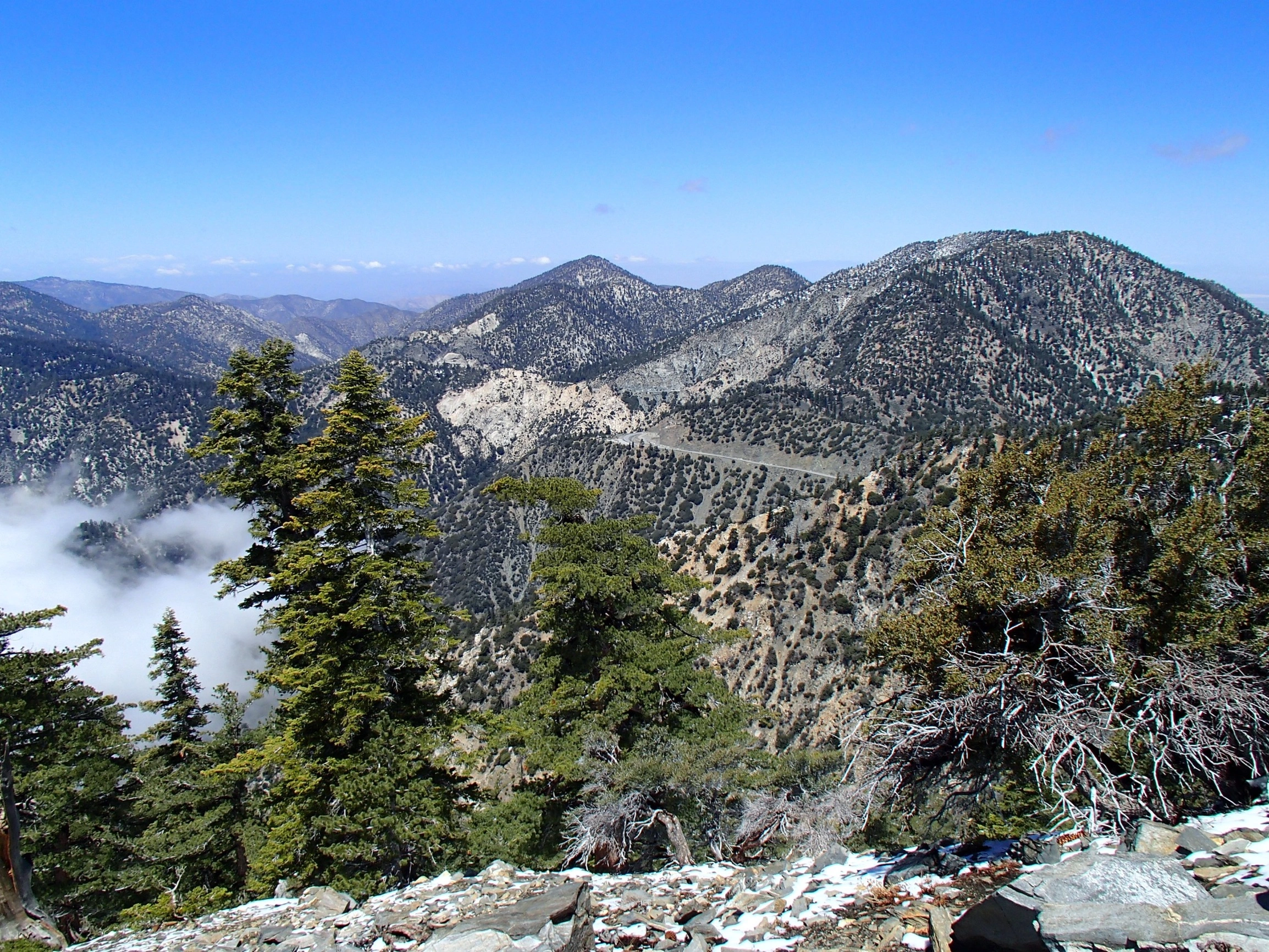
Will Thrall, Pallet and Mount Williamson, photo by Sharon Moore
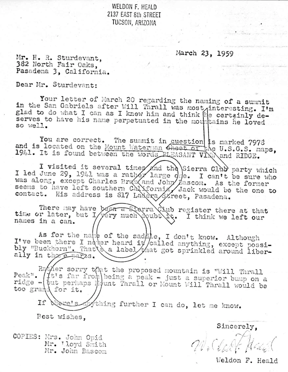
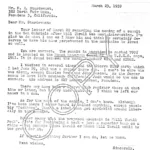
Letter from Weldon Heald about naming Will Thrall Peak, photo by Angeles Chapter Sierra Club Archives
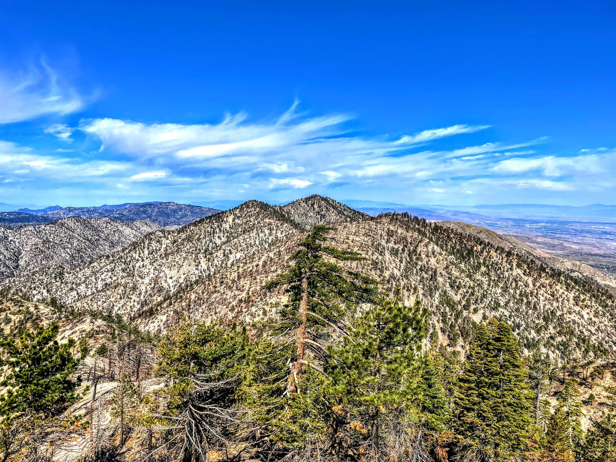
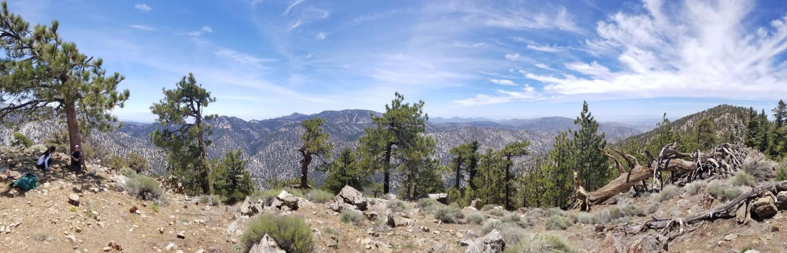
Pallett, Will Thrall and Pleasant View Ridge, photo by Sunny Yi
Pleasant View Ridge Will Thrall and Pallett, photo by Joihn Sheehe
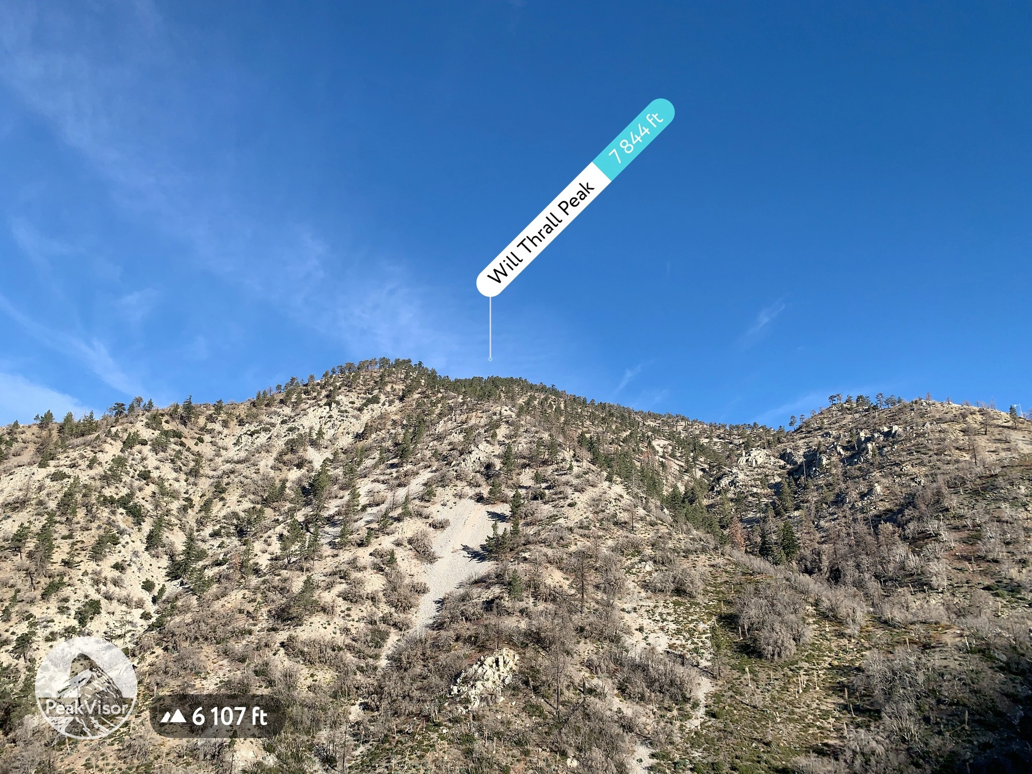
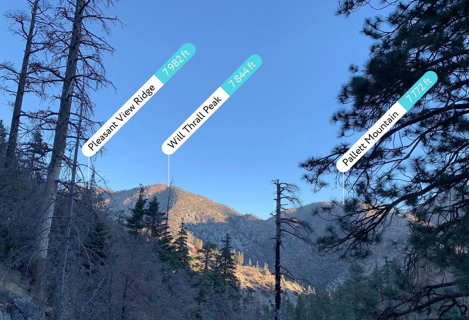
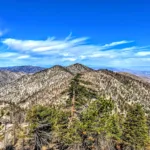
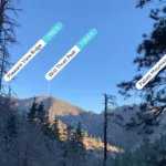
Will Thrall, peakfinder view, photo by Joihn Sheehe
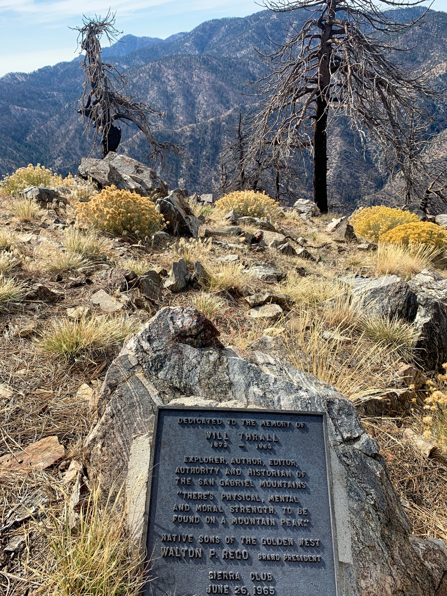
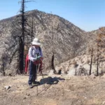
Will Thrall summit with memorial plaque, photo by John Sheehe
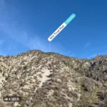
Will Thrall, photo by Steve Russell
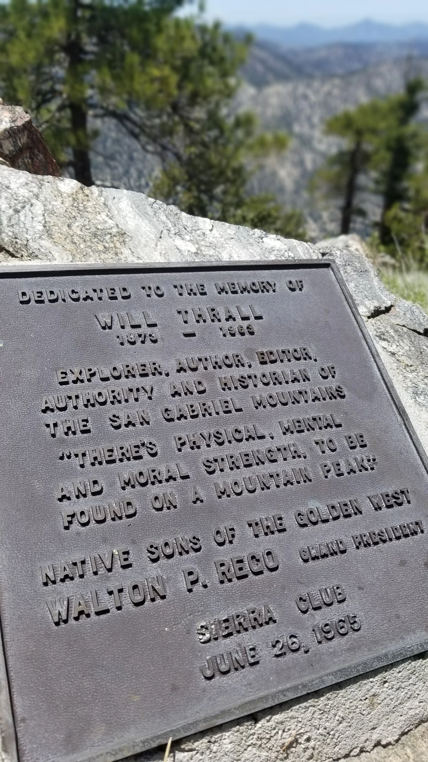
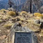
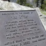
Will Thrall Summit Plaque, photo by Chris Waldheim
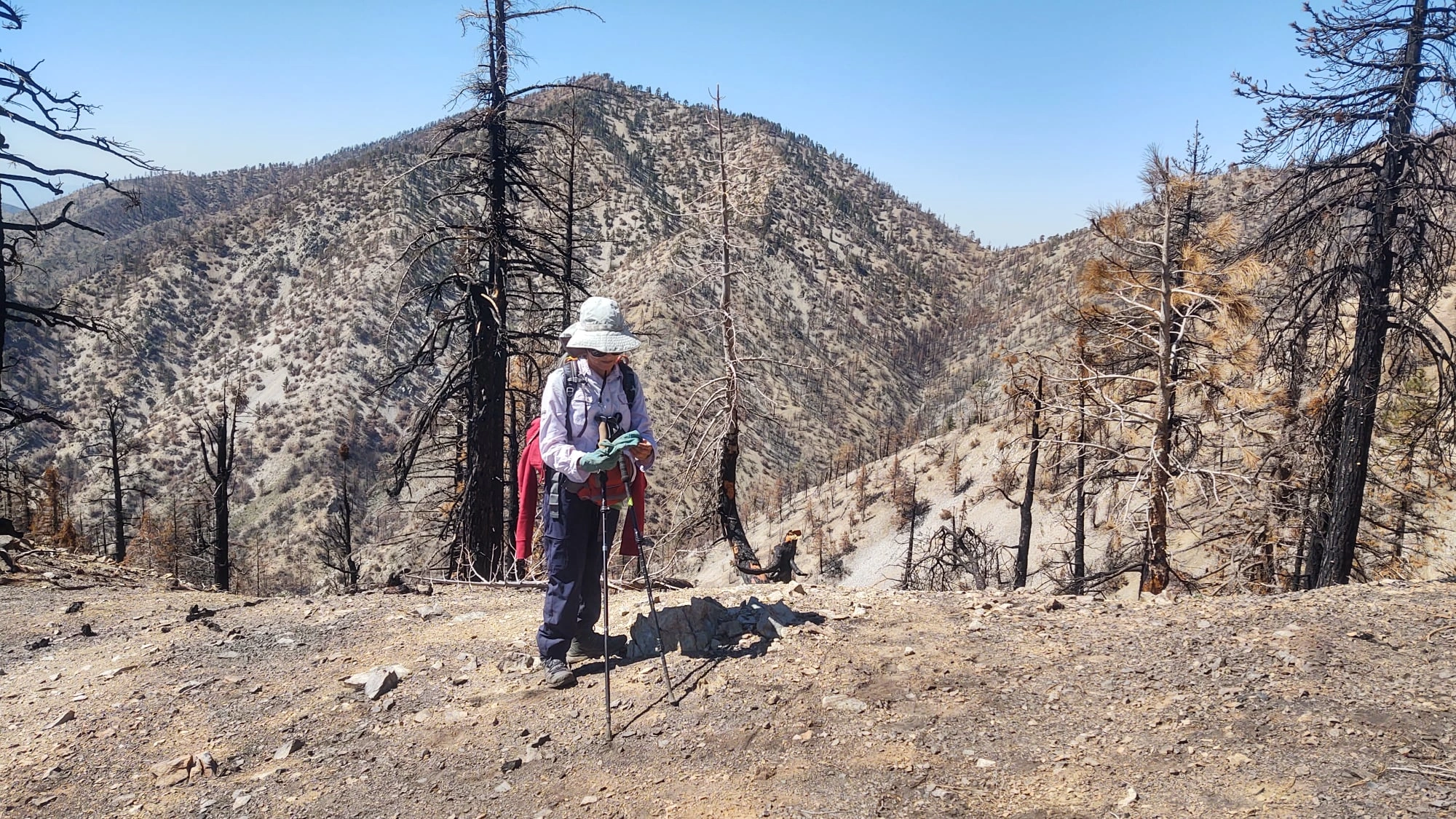
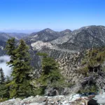
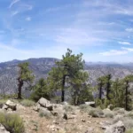
Will Thrall Summit looking South, photo by Chris Waldheim
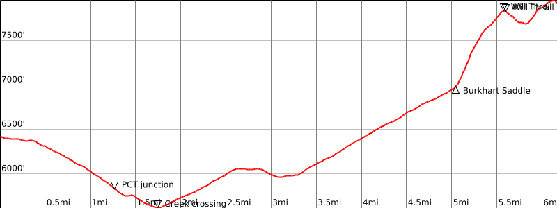

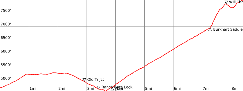

Peakbagger.com

Nearest ranger station

NOAA Forecast

Google Earth


