Mount Williamson

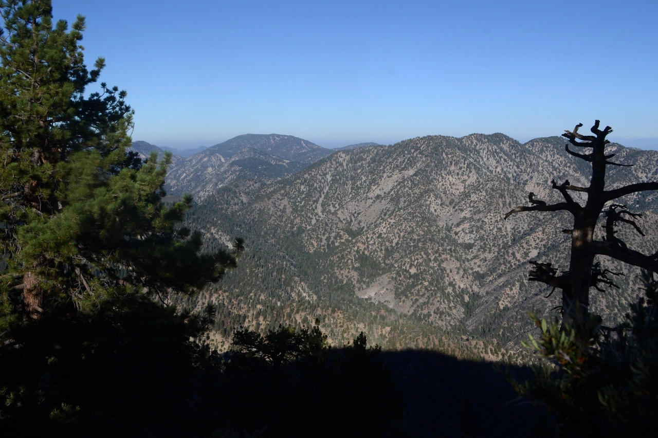
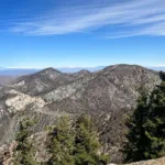
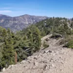
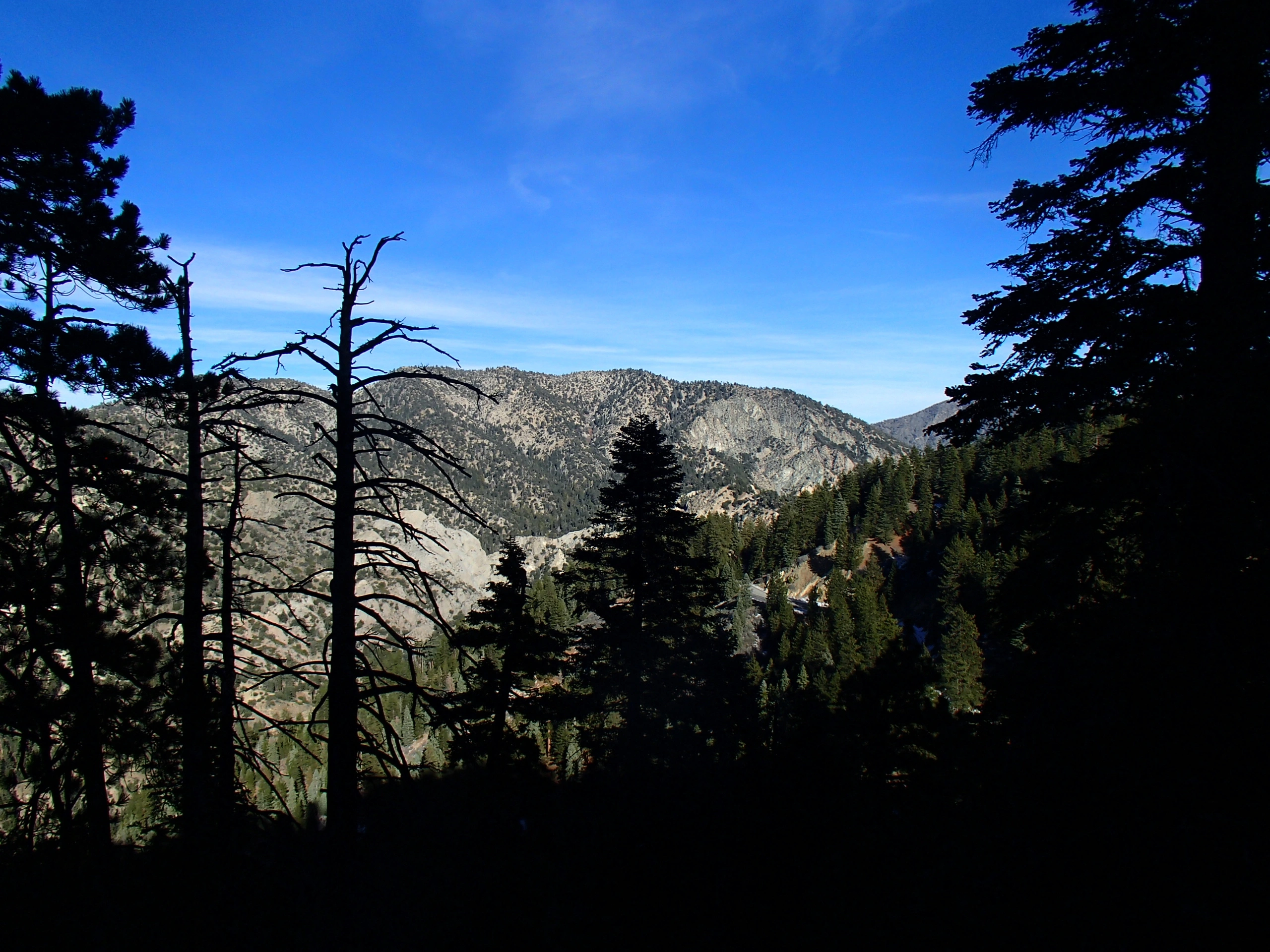
Mount Williamson, Photo by Sharon Moore.

Peak Name

Mount Williamson
13F

Elevation

8244

 feet

Status

active

Region

North Of Angeles Crest Hwy 2

Range

San Gabriel Mountains

Nearby peaks

Location

34.3711106,-117.8578405

Description

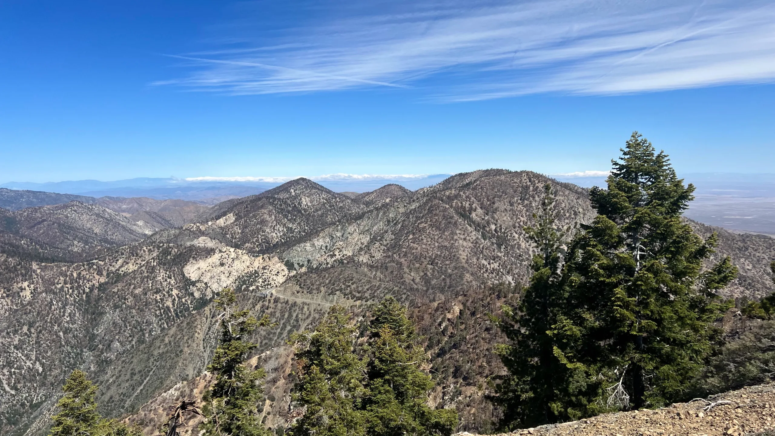
Williamson makes a nice short moderate day hike to a peak with views of the San Gabriel Mountains high country to the east and south, and Pleasant View Ridge and the San Andreas Rift Zone and the desert to the north. Its south granite face was a popular climbing area until closed indefinitely to protect the endangered yellow legged mountain frog. No evidence of the frogs has been found in recent years, but reintroductions are planned.
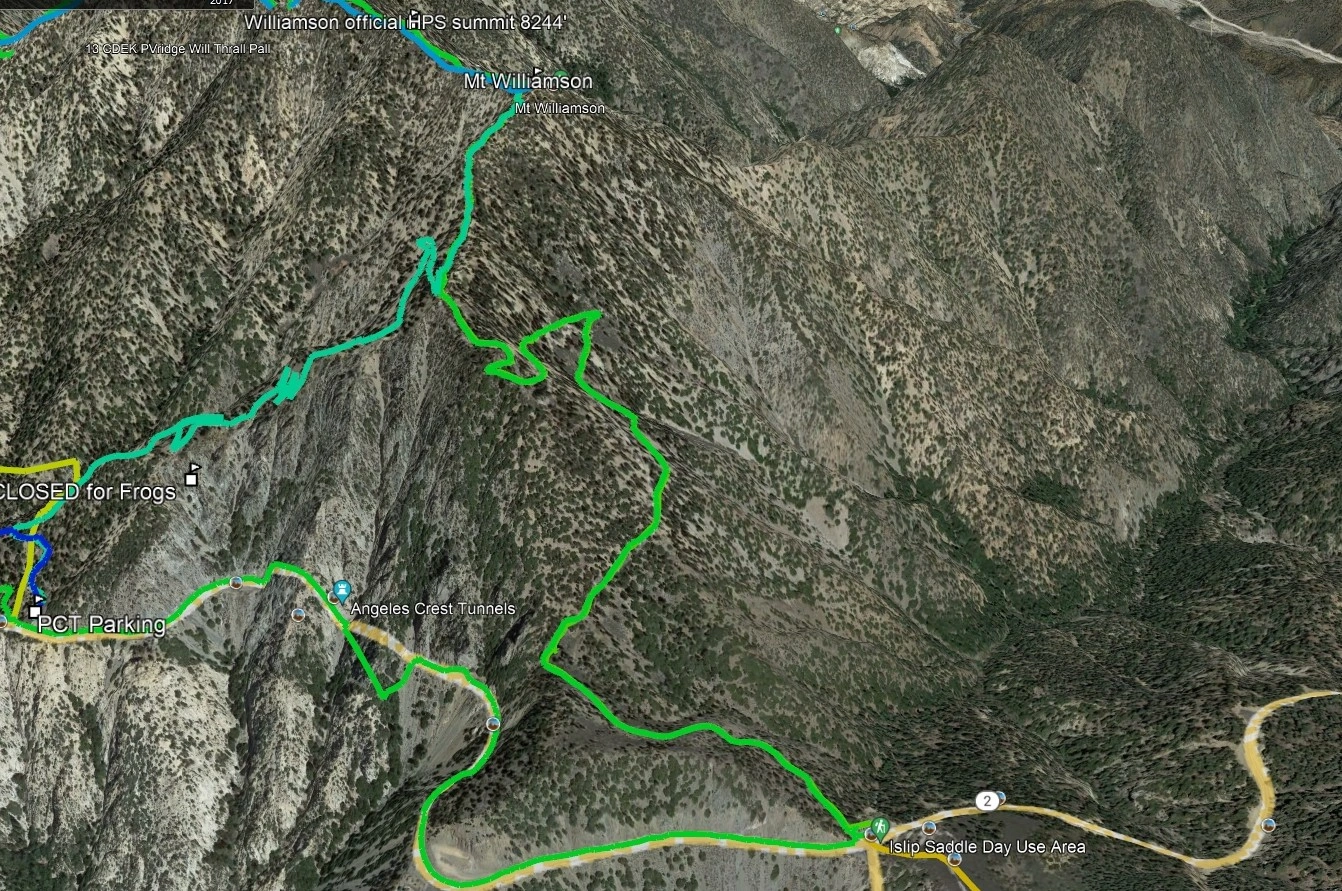
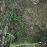
Both routes start from Angeles Crest Highway, Route 2 from Islip Saddle heading west and Route 1 a few miles to the west and heading east and follow the PCT before departing up the south ridge to the peak on a good use trail. See the note below about the register location. Once there, consider a short additional jaunt to nearby Goodykuntz.

Maps generated from CalTopo.com, reproduced with permission

Route 1- From PCT
Elevation Gain
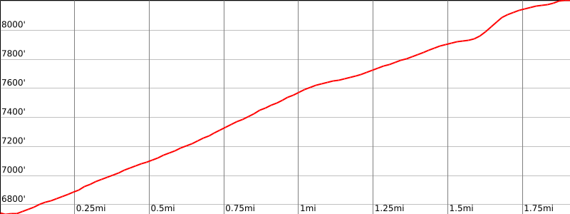
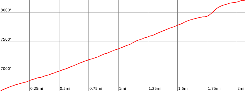
1500′
Navigation Difficulty
Easy
Distance
5 miles round trip on trail
Estimated time
2 1/2 hours round trip
Route Rating
Class 1, easy
Leader Rating Required
“O”, normal conditions

Driving route

From the intersection of I-210 and Angeles Crest Highway (SR 2), drive north on Angeles Crest Highway 9.5 miles to Angeles Forest Highway. Keep straight.
Continue about 4.5 miles to the junction with the Mount Wilson Road at the Red Box Ranger Station. Keep straight.
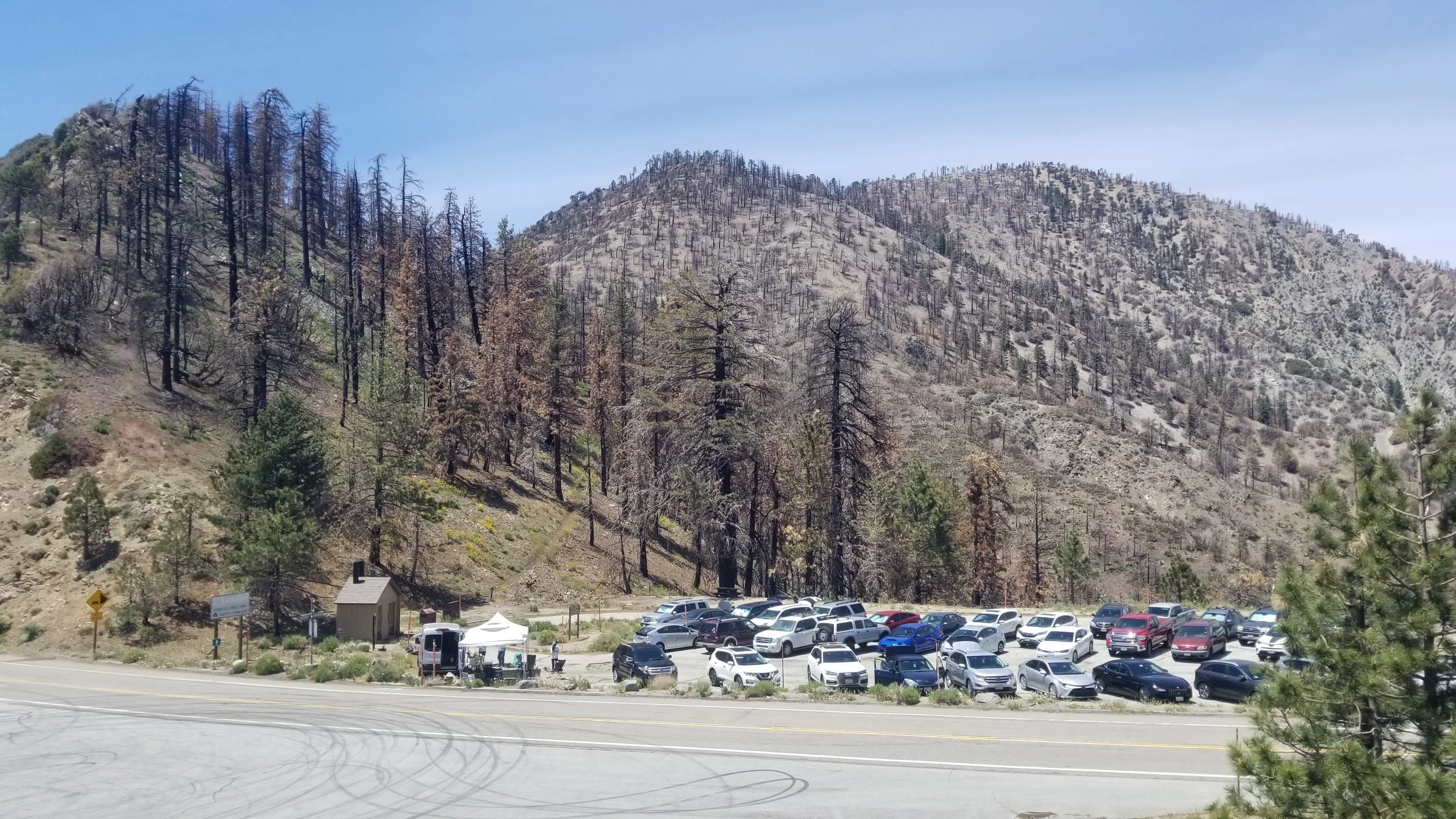
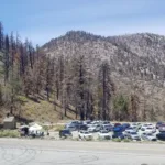
Continue 24 miles to a large parking area on the left (north). This is 0.7 mile east of a large shed on the right. Park here.

Hiking route

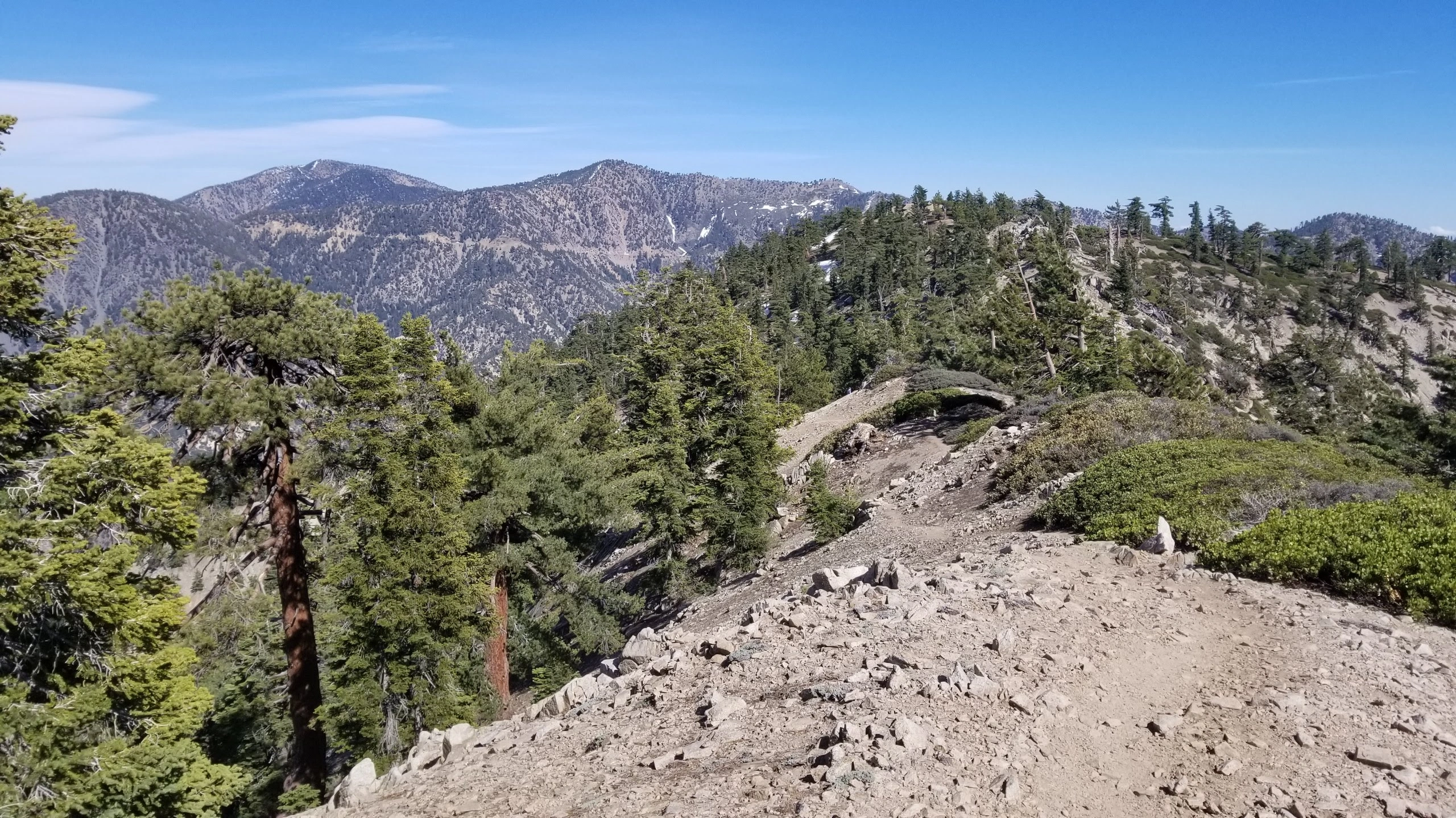
From the east end of the parking area (6680’+), follow the Pacific Crest Trail (PCT) as it switchbacks up the southwest ridge of Williamson.
After about a mile, at the top of the ridge, the PCT goes southeast to Islip Saddle. At this point, turn northeast and follow the use trail to the crest of the ridge.
Then continue leftward (northwest) and follow the use trail along the ridge about 1/4 mile to bump 8244′ where the register can is located.

Route Notes

Printable Route

Road Type

Paved

Google Maps Link to Trailhead 

Route 2- From Islip Saddle
Elevation Gain
1600′
Navigation Difficulty
Easy
Distance
5 miles round trip on trail
Estimated time
2 1/2 hours round trip
Route Rating
Class 1, easy
Leader Rating Required
“O”, normal conditions

Driving route

See Route 1.

Hiking route

From the west end of the parking lot (6680′), hike north-west up the PCT.
Follow it to the top of the ridge where it meets Route 1 at a fork.
Turn right (northeast) and follow the use trail to the summit as described in Route 1.

Route Notes

Printable Route

Road Type

Paved

Google Maps Link to Trailhead 

Additional Peak Information

Note: The summit is the one given on the topo as 8244′. Another summit 1/4 mile to the southeast is about 30′ lower (8214′). The register has been moved back and forth repeatedly. Please keep it on the 8244′ summit. While the summit of 8214′ is what shows as Mt Williamson on the USGS map, register cans at this location do not last long while those on the higher, but slightly more distant bump last.

Historical notes: The peak was named for Lieutenant Robert Stockton Williamson (1824-1882), U.S. Army topographical engineer, who made a reconnaissance of the north side of the San Gabriel Mountains for the Pacific Railroad Survey in 1853.

Natural history notes: The San Andreas Rift Zone can be seen from the summit.

Nearby Peaks

Backus Peak
Owens Peak
Black Mountain #5
Morris Peak

External Links

mountain 1

Peakbagger.com

Click Here

ranger-tower 1

Nearest ranger station

Click Here

g311

NOAA Forecast

Click Here

worldwide 1

Google Earth

Click Here

Photo Gallery