Peak Name
Elevation
feet
Status
Region
Range
Nearby peaks
Location
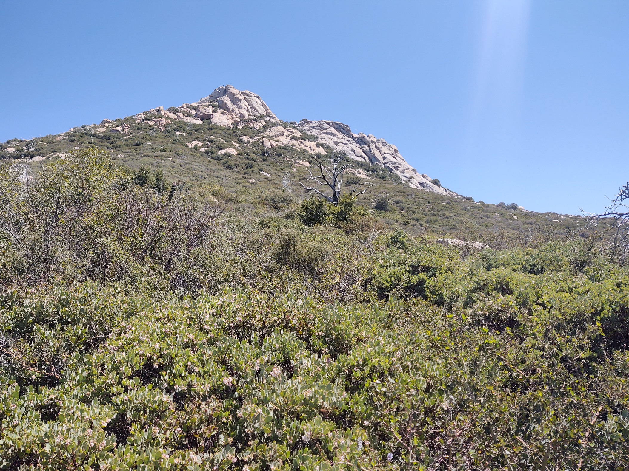
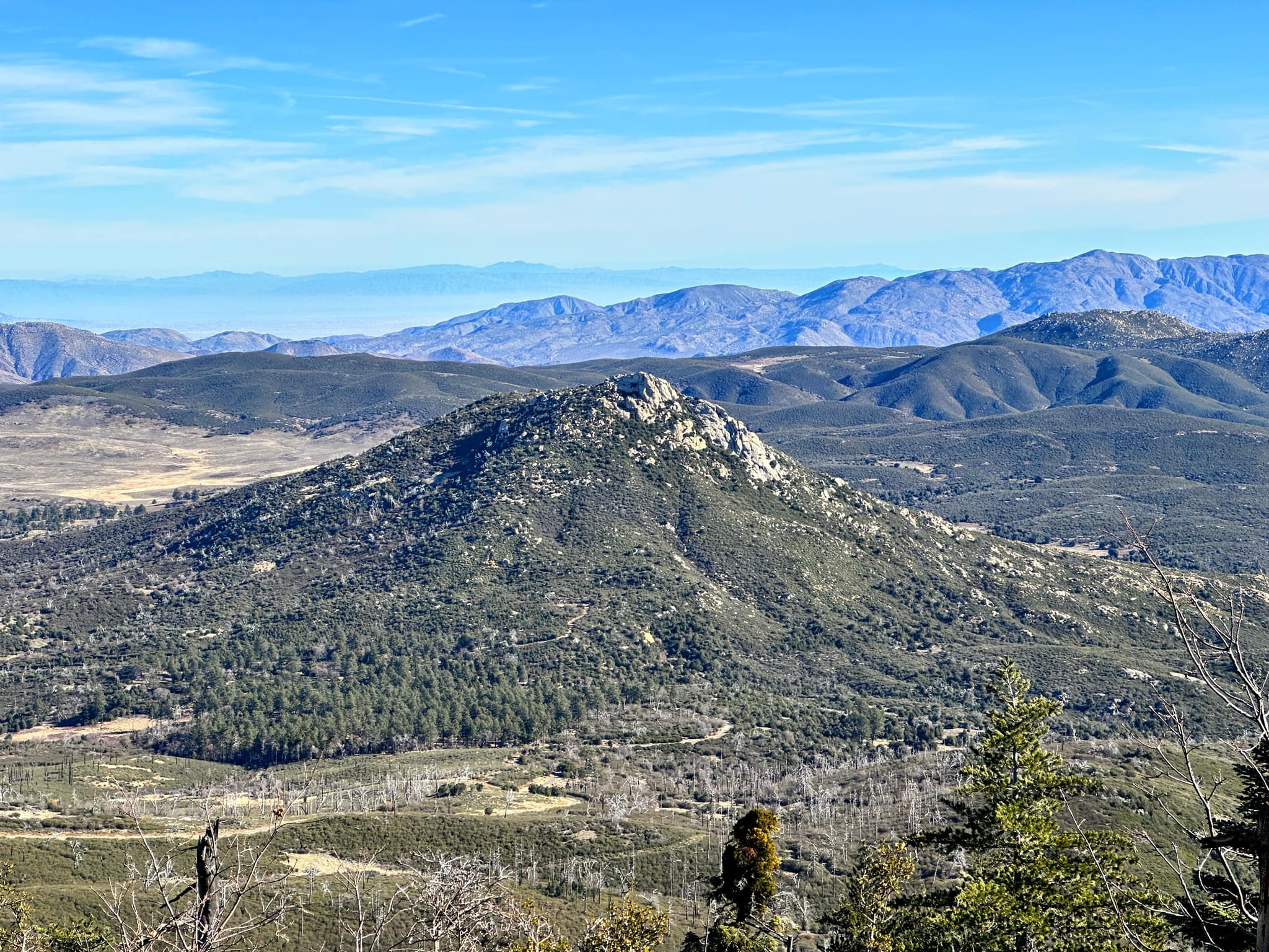
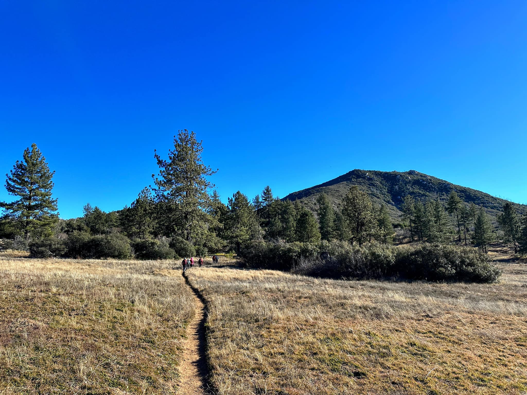
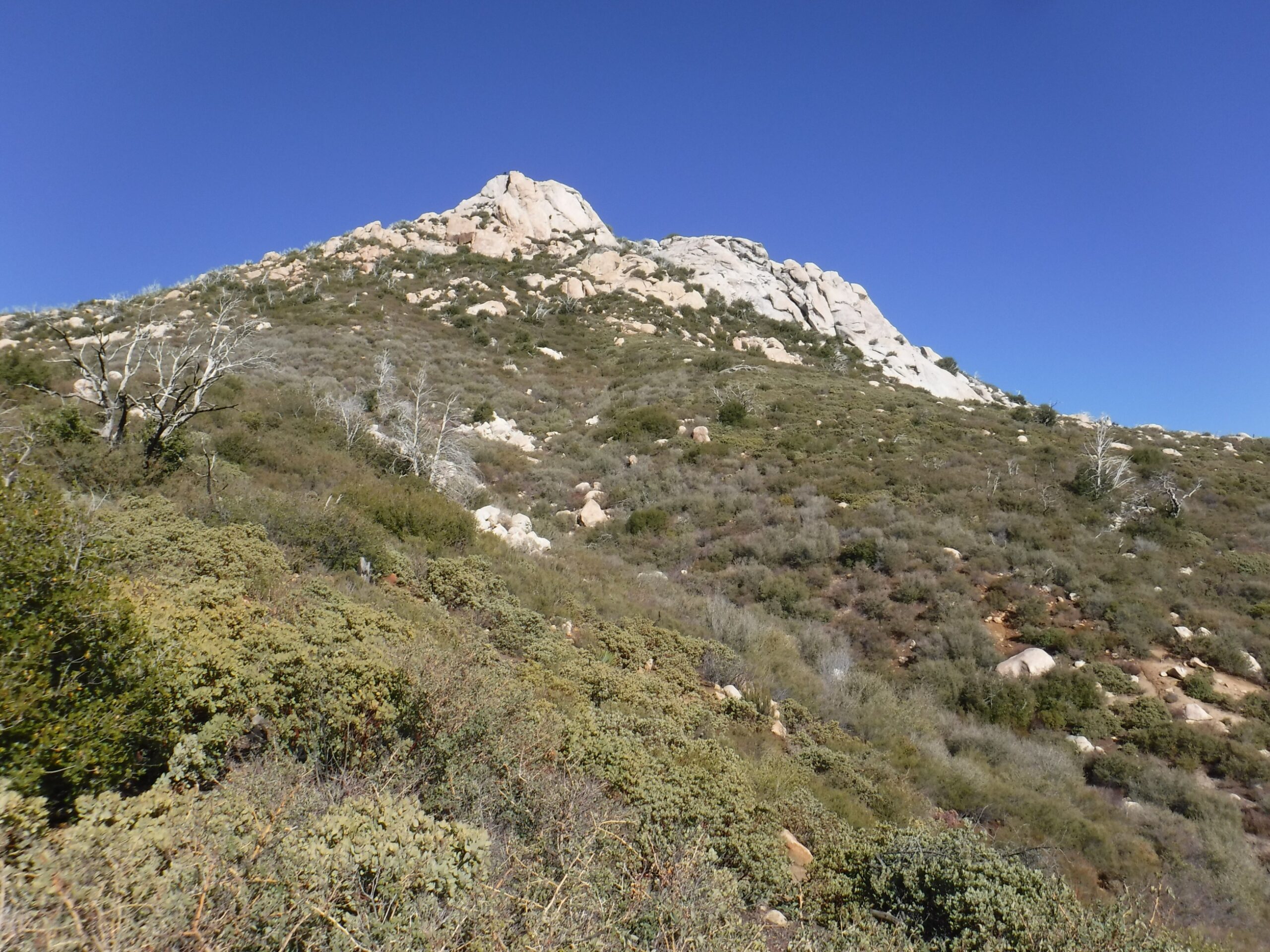
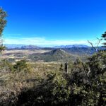
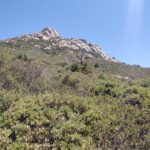
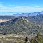
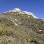
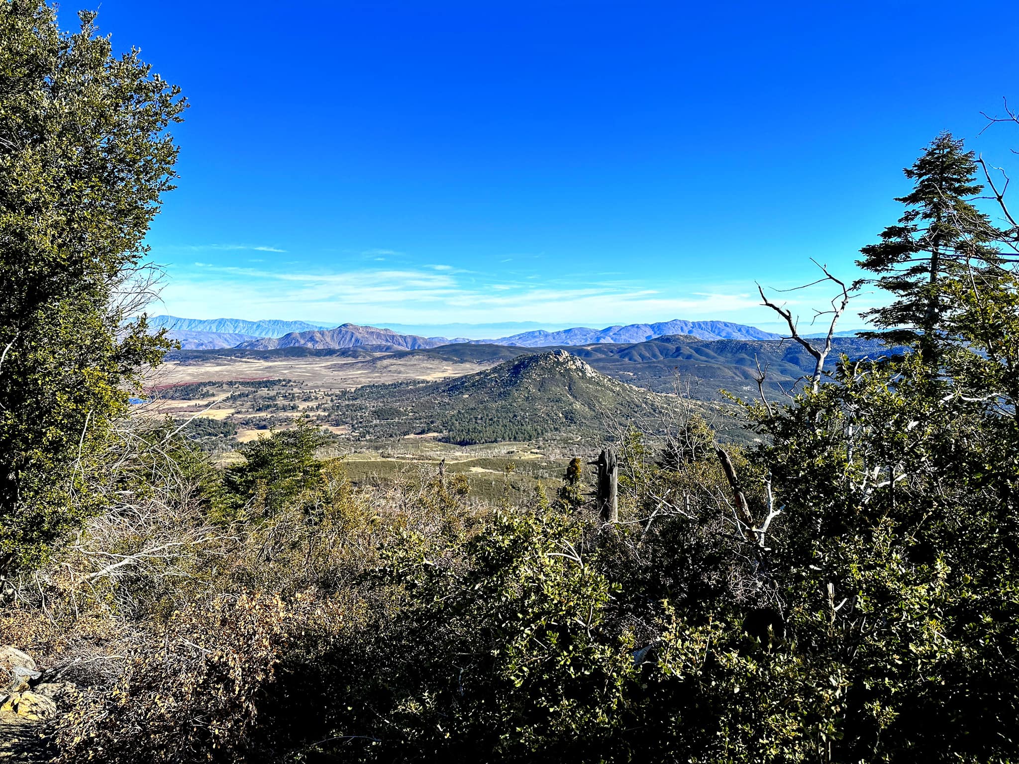
Cush-pii, the second highest point in the Cuyamaca Mountains, is a granite formation that stands out dramatically at the edge of Cuyamaca Rancho State Park. It was oroginally named after the nearby Stonewall Jackson Mine but was shortened to Stonewall to soften its Confederate reference. In December 2025, the Board of Geographic Names restored its original indigenous Kumeyaay name, which means “Sharp Point”. The trail begins across the street from the park (there is a fee to park unless you want to park a considerable distance away). The trail switchbacks up to the massive granite summit, which has wonderful views of the desert to the east, the coast to the west, and lovely Lake Cuyamaca below. Stonewall is often hiked in conjunction with nearby Middle or Cuyamaca peaks, or with Oakzanita Peak to the south.
Maps generated from CalTopo.com, reproduced with permission
Driving route
Northern approach:
Take I-5 south to SR 78 in San Diego County.
Go east on SR 78 through Escondido to the junction with SR 79 just past the town of Julian. Turn right (south) on SR 79.
Go south on SR 79 for 9 miles to the Cuyamaca Dam.
Continue 2.7 miles to the entrance to Paso Picacho Park on the right.
Continue 5.6 miles further (mile marker 4) to a gated dirt road on the left side. Park on the left just before this road.
Southern approach:
The drive is longer, but generally quicker by taking SR 79 north from I-8 via San Diego.
Hiking route
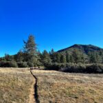
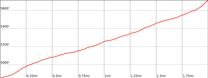
From the parking area (4860′), cross the highway to the beginning of the Stonewall Peak trail. Hike up this trail to the summit.
Additional Peak Information
Historical note: The peak was named for a gold mine located on its northeast slope, originally the “Stonewall Jackson Mine” founded in 1870 by William Skidmore. Due to intense feelings after the Civil War, the name was changed to “Stonewall Mine”. It produced more than $2 million before it closed in 1892.


You must be logged in to upload images.