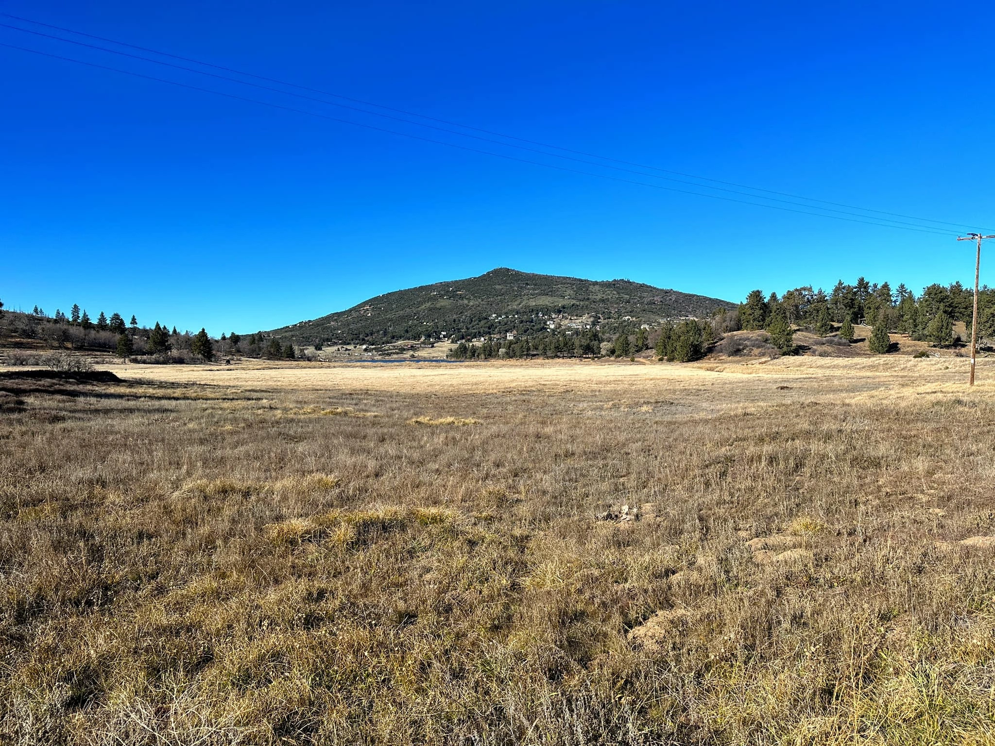
Middle Peak, photo by Sunny Yi
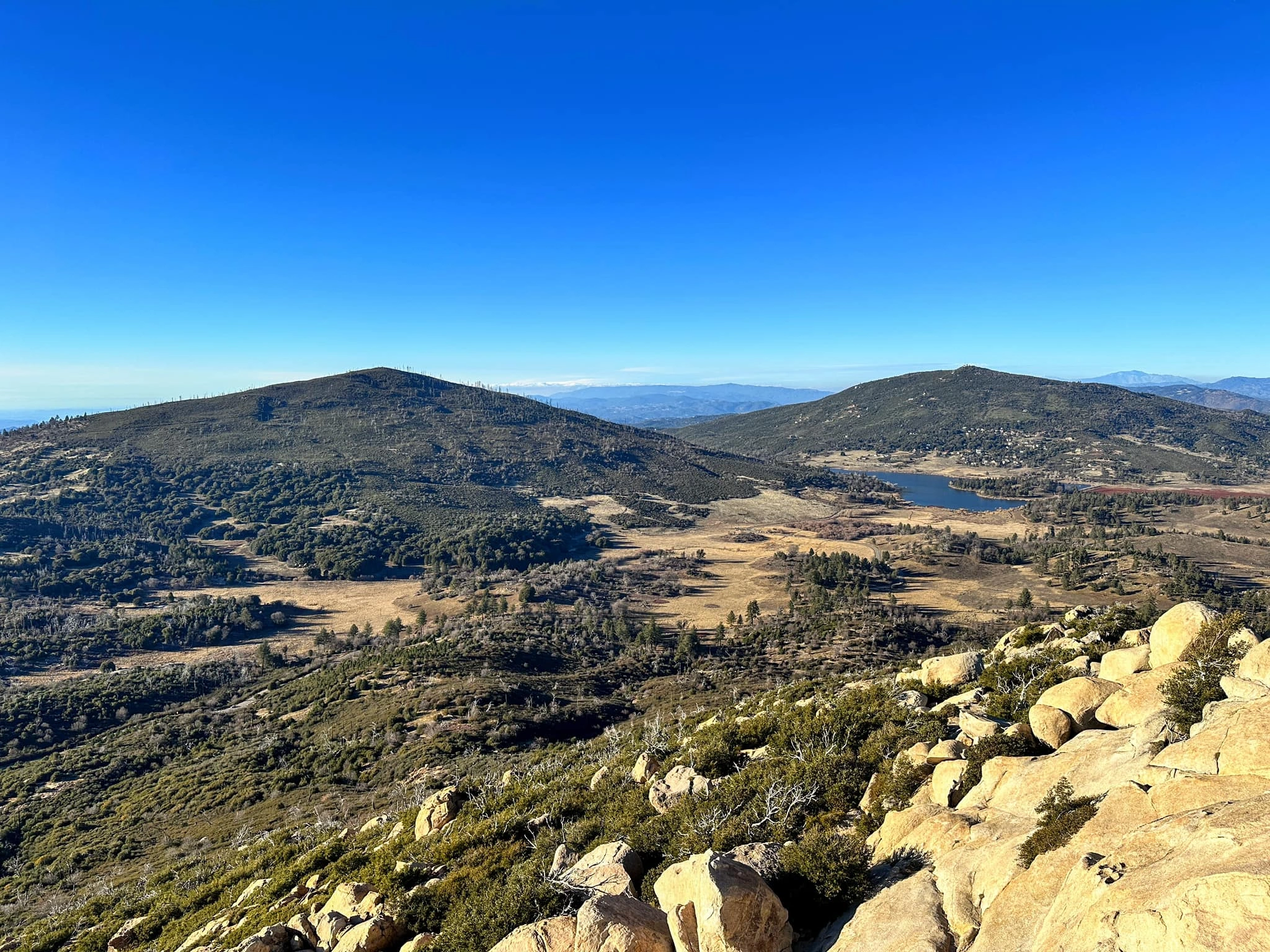
Middle, taken from Stonewall, photo by Sunny Yi


Peakbagger.com

Nearest ranger station

NOAA Forecast

Google Earth


