Cuyama Peak (Lookout)

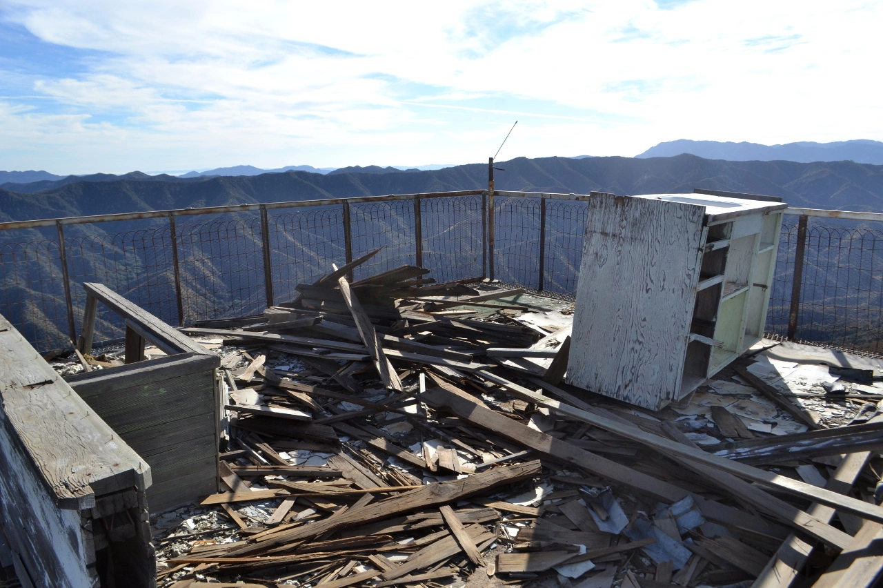
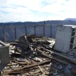
Cuyama Lookout Ruins, Photo by Valerie Norton.

Peak Name

Cuyama Peak (Lookout)
06D

Elevation

5878

 feet

Status

active

Region

Santa Barbara County

Range

Ventura Ranges

Nearby peaks

Location

34.7538706,-119.4754007

Description

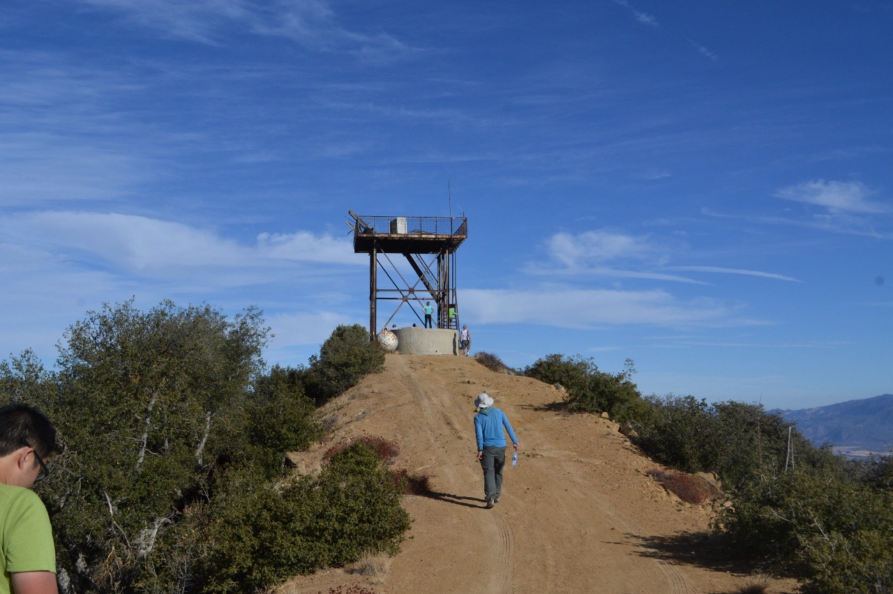
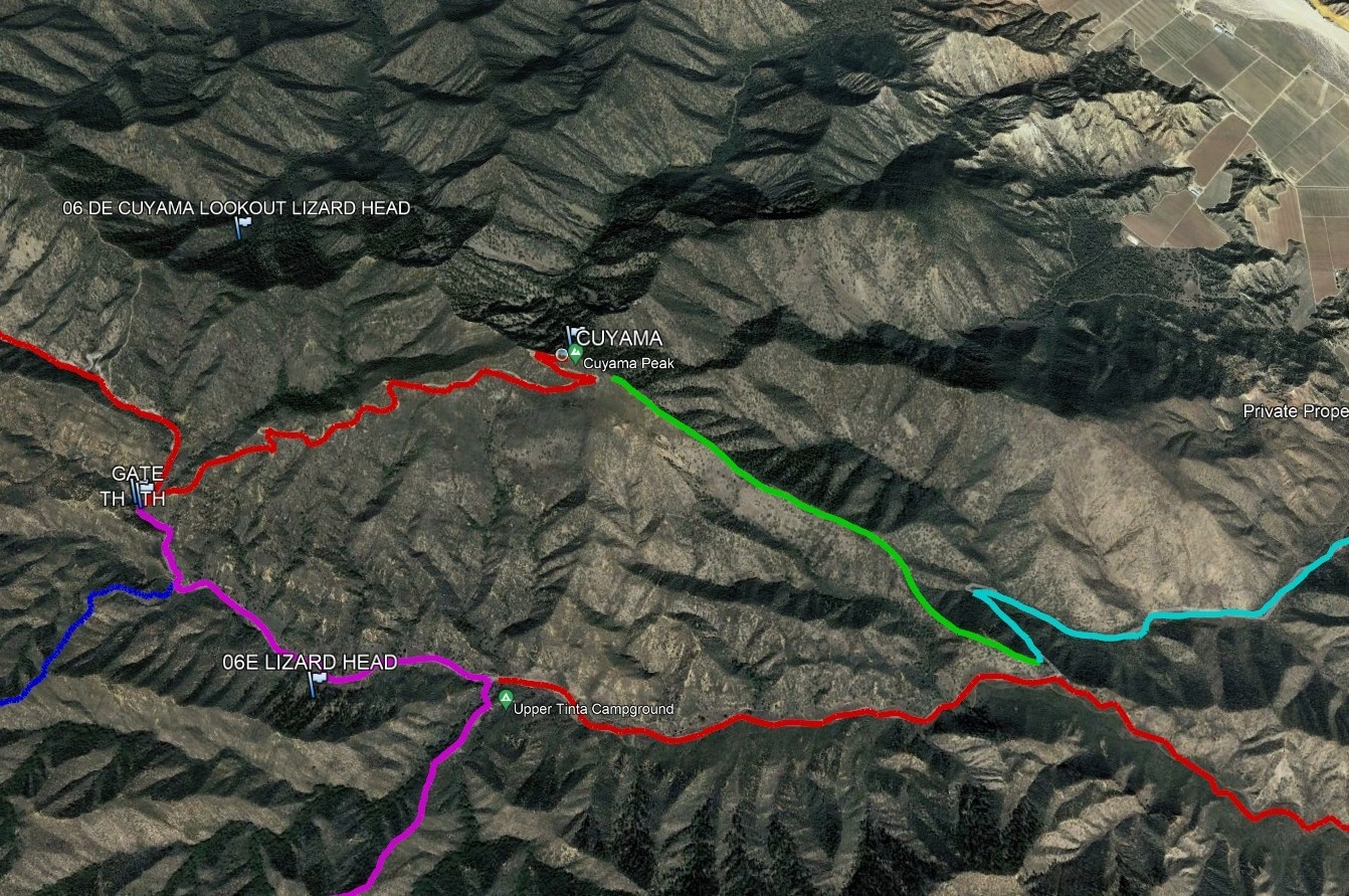
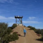
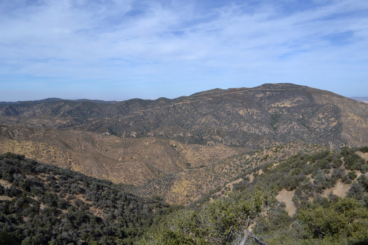
Cuyama peak is topped by a lookout tower which has superb 360-degree views of the surrounding mountains. Although the cabins atop and below have collapsed, this 1934 tower was used by the AWS civilian volunteers of WWII, then occupied as a fire lookout as late as 1970. Route 1 is a rough high clearance drive that some choose to do as a short 4 mile round trip hike from the parking spot for Lizard Head, with which it is typically hiked. Route 2 starts from Tinta Campground to the east and follows road and ridges to the peak.

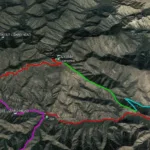
Maps generated from CalTopo.com, reproduced with permission

Route 1- Driveup
Elevation Gain
None
Navigation Difficulty
Easy
Distance
None
Estimated time
None
Route Rating
Drive-up
Leader Rating Required
“O”, normal conditions

Driving route

Drive north on I-5 past the Grapevine to the SR 166 off-ramp. Turn left (west).
Head west 36.5 miles, passing through Maricopa, to the junction with SR 33 south. This junction may be reached by a slower route via SR 33 north from Ojai. (There is a junction with SR 33 north in Maricopa that you will pass in Maricopa.) Turn left (south).
Go 2.7 miles to Foothill Road on the right. Turn right (west).
Go 2.1 miles, crossing the Cuyama River, to the Santa Barbara Canyon Road (9N11) on the left. Turn left, note your odometer, and go as follows:
At 3.1 miles, junction with a dirt road on the left just past a ranch with a sign “Santa Barbara Canyon Road”. Turn right on a paved road.
At 7.5 miles, fork with Santa Barbara Ranch visible ahead. Go right and cross a creek. The pavement ends.
At 9.5 miles, a cattle guard and gate.
At 10.0 miles, a hard to see dirt road on right. Keep straight. This is the turnoff for Fox Mountain #1.
At 10.8 miles, Dry Canyon Road on the left. Turn left.
At 16.6 miles an obscure gated road/trail on the right. Keep left This is the parking spot for Lizard Head.
Follow the road about 2 more miles up to the summit of Cuyama Peak.

Hiking route

Route Notes

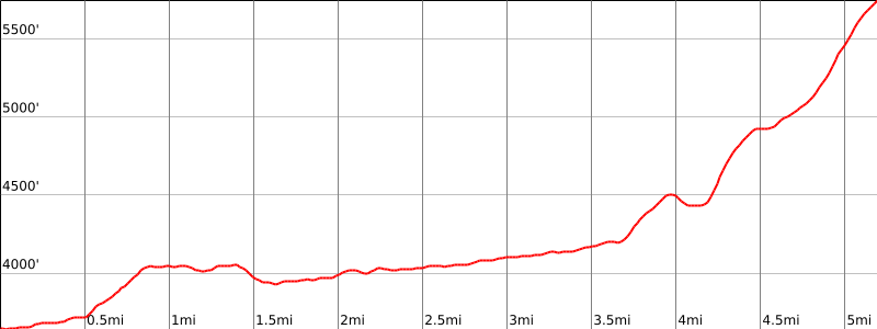
Special conditions: Dry Canyon Road can be washed out in the early spring. The road is sometimes not passable beyond the parking spot for Lizard Head. Hike up the road from here. This is 1200′ gain and 4 1/2 miles round trip.

Printable Route

Road Type

Dirt

Google Maps Link to Trailhead 

Route 2- From Tinta Campground
Elevation Gain
3600′ total, 2900′ out plus 700′ on return
Navigation Difficulty
Moderate
Distance
12 miles round trip on trail and cross country
Estimated time
6 hours round trip
Route Rating
Class2, strenuous
Leader Rating Required
“I”, normal conditions

Driving route

Drive north on I-5 to the Frazier Park exit (about 45 miles from Sylmar).
Drive west on the Frazier Mtn. Park Road for 7 miles to Lake of the Woods.
Turn Left onto the Lockwood Valley Road.
Drive on this road for 27 miles until one meets SR-33.
Turn right and proceed 2.0 miles to a dirt road on the left marked by a sign indicating “Dick Smith Wilderness Access”.
Turn left & reset odometer.
After about 0.2 mile, road crosses the Cuyama River (which could be flooded, high-clearance vehicles could be required).
After 0.8 mile, turn Right at junction of 7N04 and 7N04A.
At 2.6 miles, Tinta Campground. Park here. Ample parking.

Hiking route

From the parking area (elevation 3650′), hike west & northwest up a Forest Service trail for 3.5 miles to the junction with the Brubaker Canyon Road at 4199′.
Leave the trail at this saddle and proceed northwest along the top of a prominent ridge.
After 2.5 miles, one will arrive at the Cuyama Peak Lookout Tower.

Route Notes

Printable Route

Road Type

Dirt

Google Maps Link to Trailhead 

Additional Peak Information

Note: The HPS register is sometimes located in a drawer or cupboard inside the lookout tower. There is a Forest Service register at the foot of the stairs.

Historical note: Name of the peak is from Chumash (“clams”), and was first given to the Cuyama River to the north.

Nearby Peaks

Backus Peak
Owens Peak
Black Mountain #5
Morris Peak

External Links

mountain 1

Peakbagger.com

Click Here

ranger-tower 1

Nearest ranger station

Click Here

g311

NOAA Forecast

Click Here

worldwide 1

Google Earth

Click Here

Photo Gallery