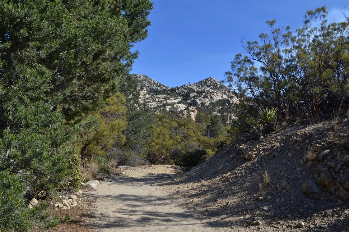
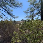
Rock Point, photo by Sharon Moore
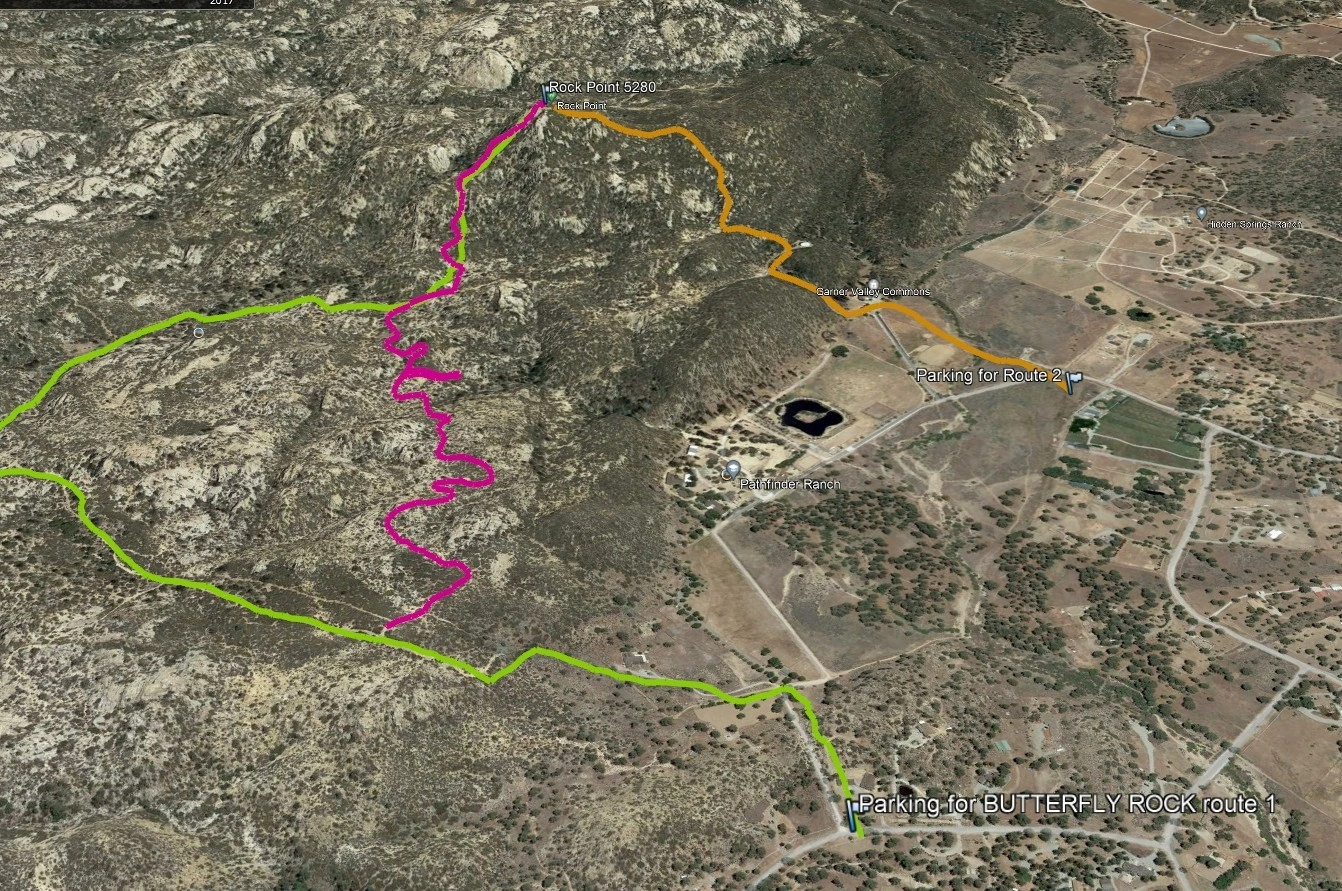
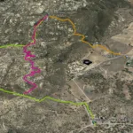
Rock Point, photo by Google Earth
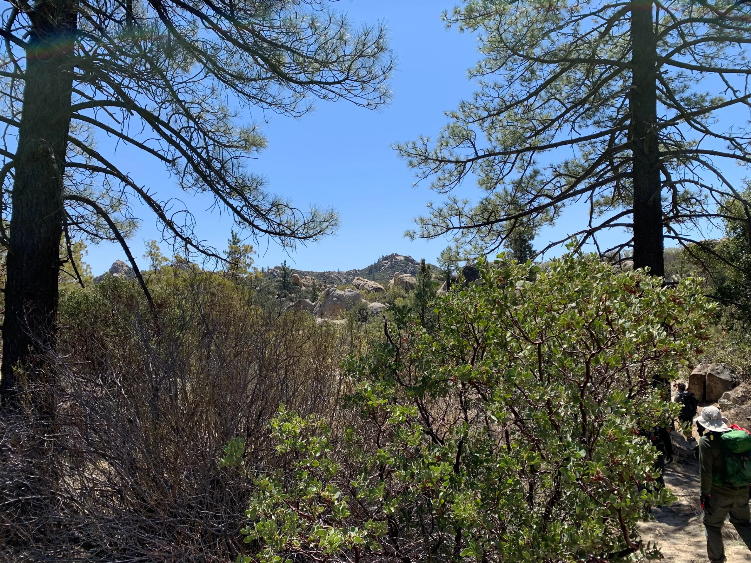
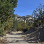
Rock Point, photo by Valerie Norton
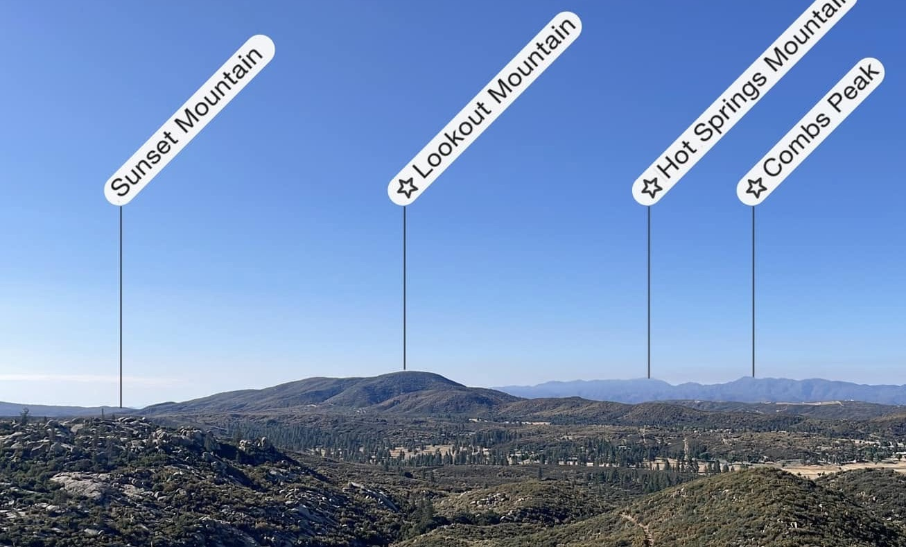
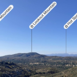
Peakfinder view from Rock Point, photo by John Martin


Peakbagger.com

Nearest ranger station

NOAA Forecast

Google Earth


