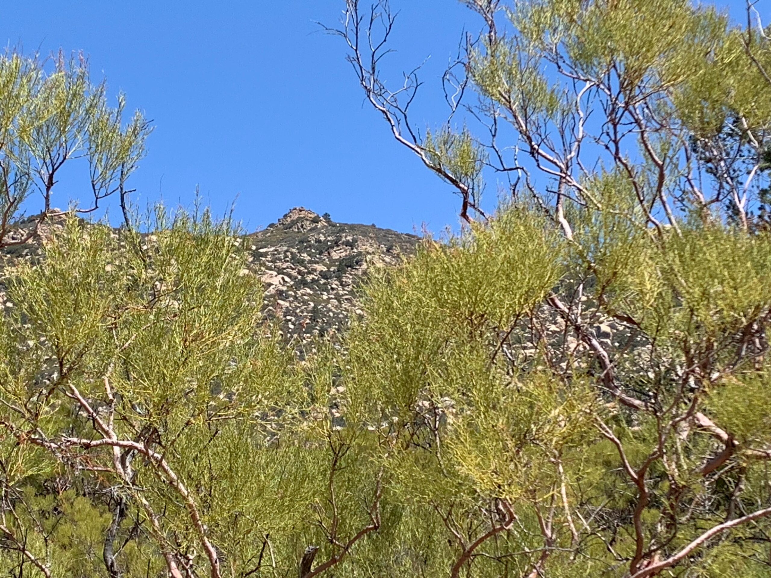
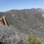
Butterfly Peak with Redshank, photo by Sharon Moore
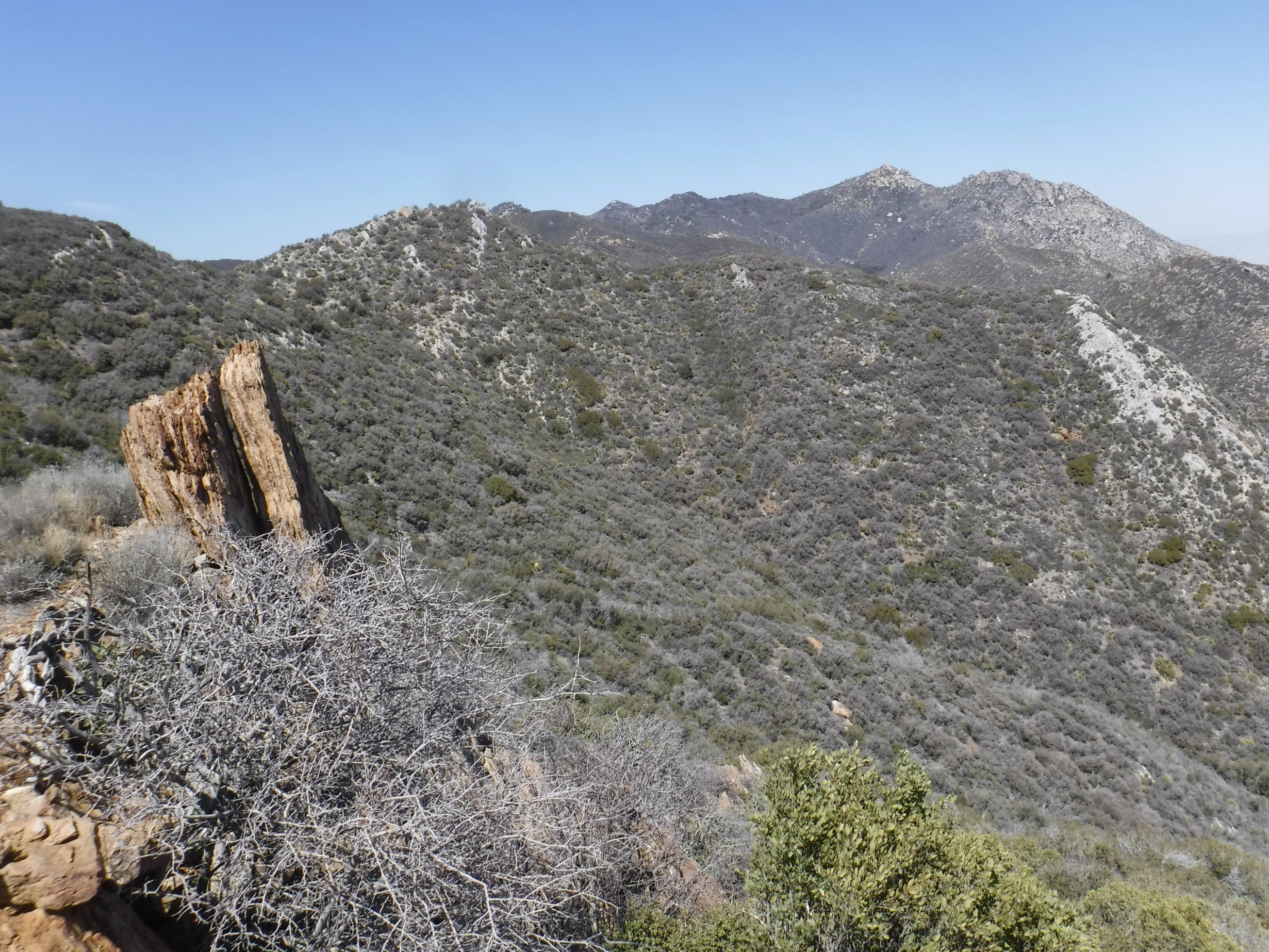
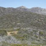
Butterfly, photo by Steve Russell
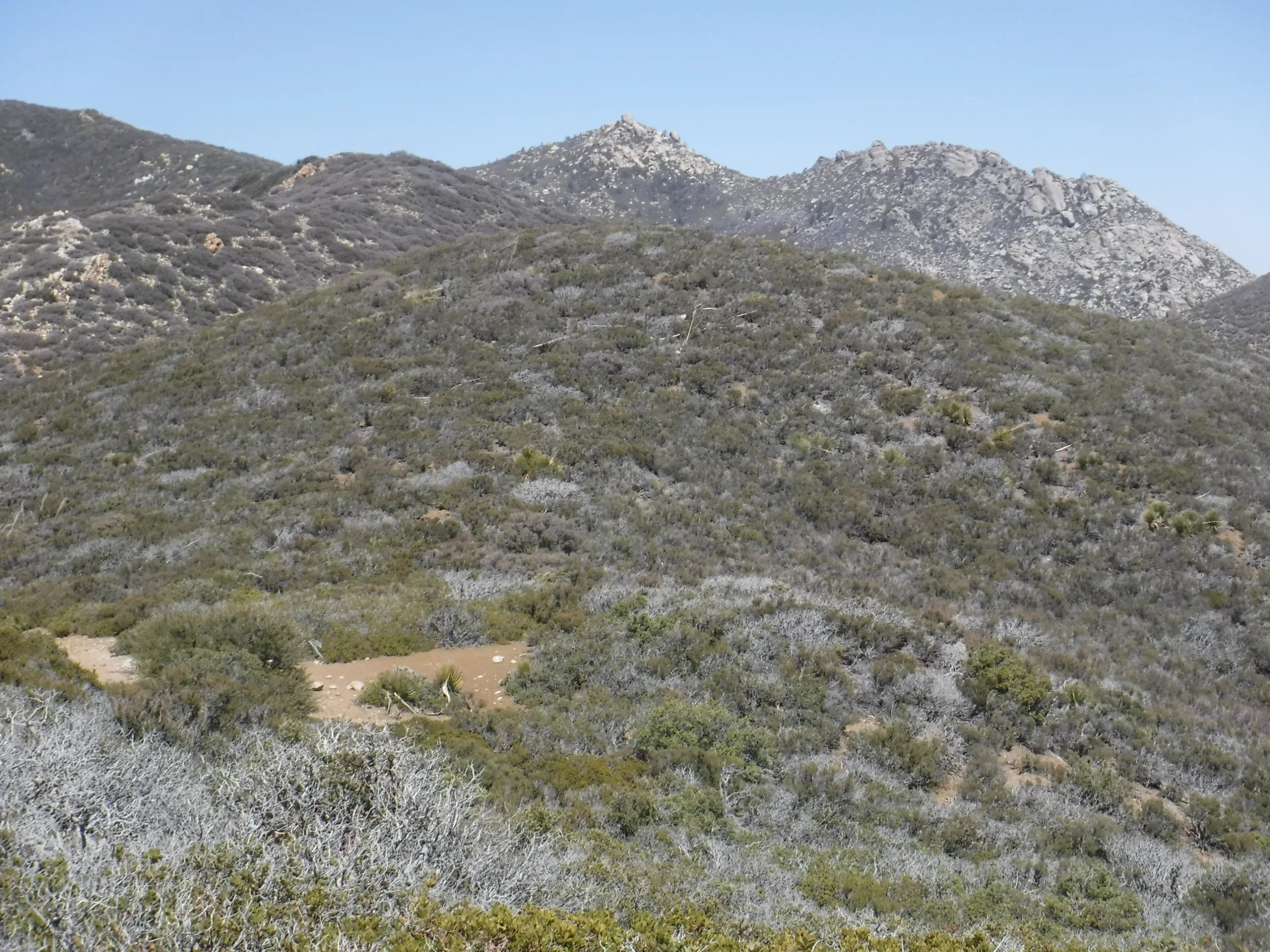
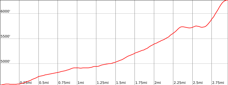
Butterfly, photo by Steve Russell


Peakbagger.com

Nearest ranger station

NOAA Forecast

Google Earth


