Sugarpine Mountain and its neighbors inhabit the range of mountains that begins where the San Gabriels end at Cajon Pass and rise again into Big Bear and Arrowhead. It overlooks lovely Silverwood Lake on one side, and Cajon Pass on the other with Mount Baldy in the distance. It is often hiked combination with nearby Cajon, Sugarpine, Bailey, Monument #2.
Route 1 is a short walk to the peak from the west following a long drive on rough high clearance road. It can also be hiked along its east ridge from the parking area for Bailey Peak. The roads are closed seasonally.
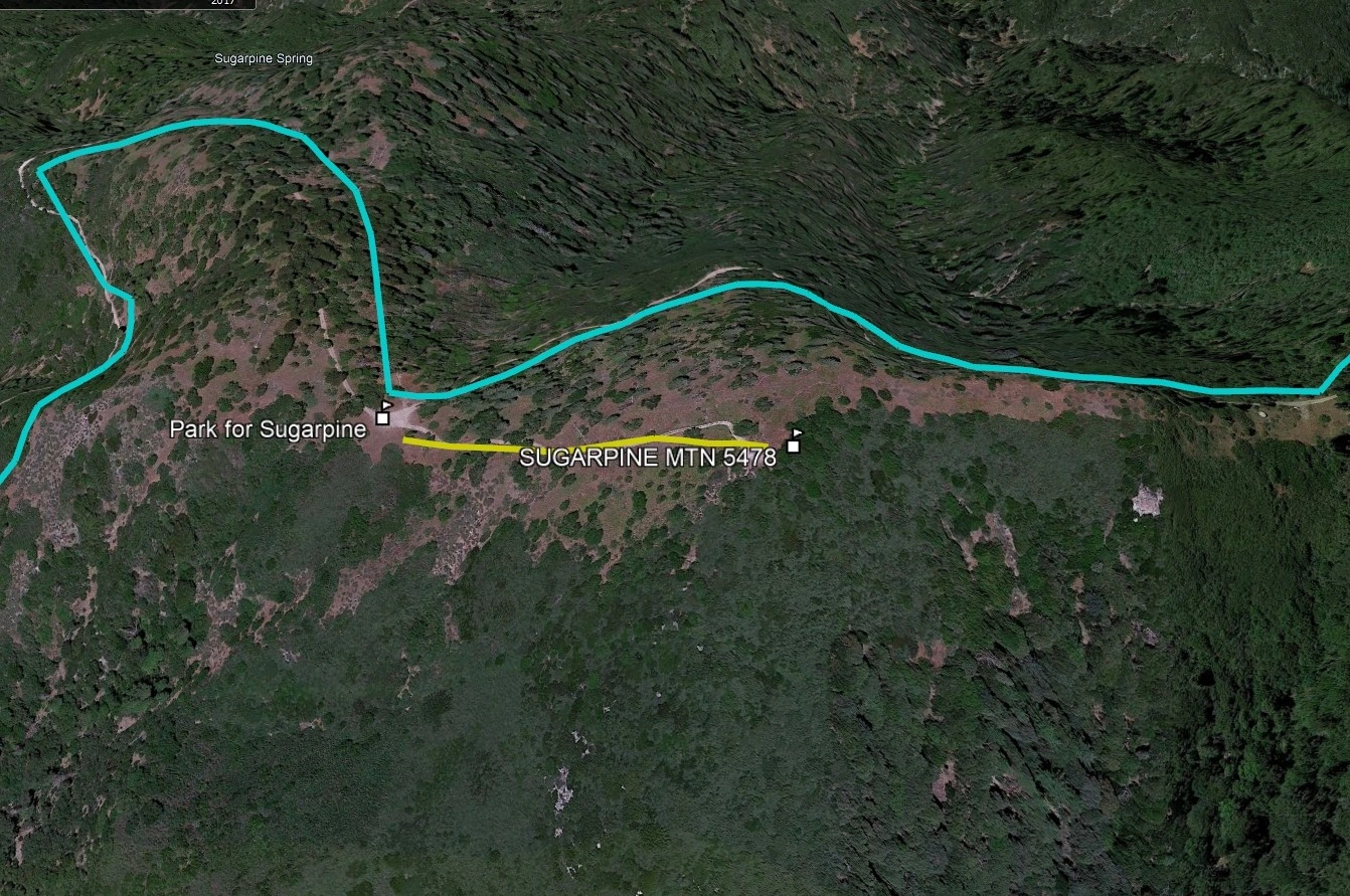
Maps generated from CalTopo.com, reproduced with permission
Drive east on I-10 to I-15, then north on I-15 to SR 138. Turn right (east).
Go 8.0 miles to the junction with SR 173 on the left near Lake Silverwood. Keep straight on SR 138.
Drive another 2.6 miles and exit on Cleghorn Road (2N49). This is also the main entrance to Lake Silverwood. At the bottom of the off-ramp, turn right on 2N49. Note your odometer and go as follows:
At 0.8 mile, pavement ends.
At 2.4 miles, fork. Go right.
At 4.0 miles, Cleghorn Pass and a hairpin turn at two water tanks.
At 6.3 miles, Cajon Lookout road fork on the right. This is the parking spot for Cajon Mountain. Keep left.
At 8.7 miles, saddle. Faint jeep road to the east-southeast may be visible. Park here.
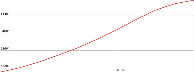
Hiking route
From the parking area, hike up the slope east-southeast to the summit.