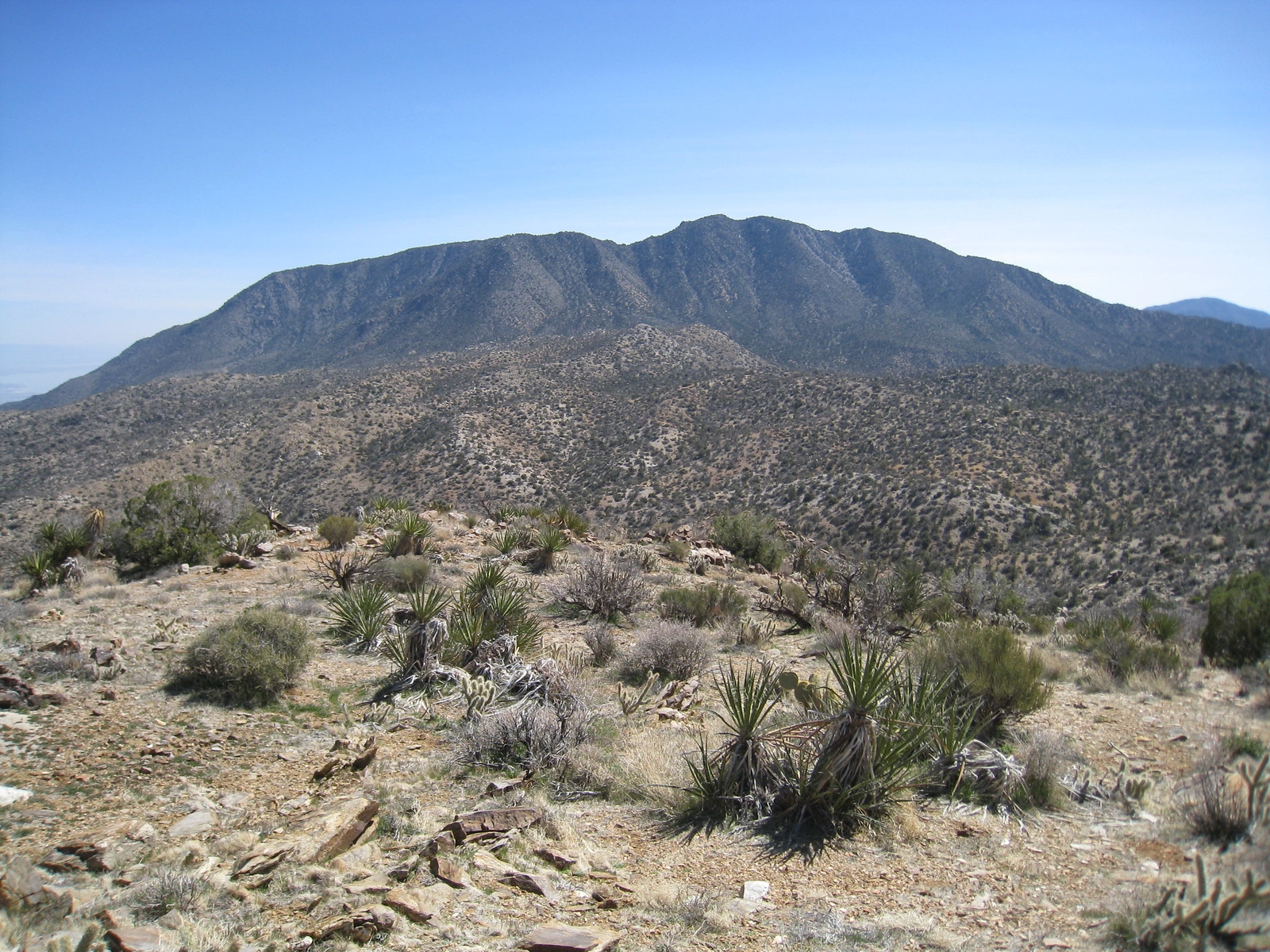
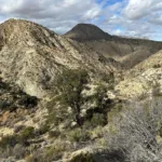
Martinez, Mountain taken from Sheep Mountain, photo by Kathy Wing
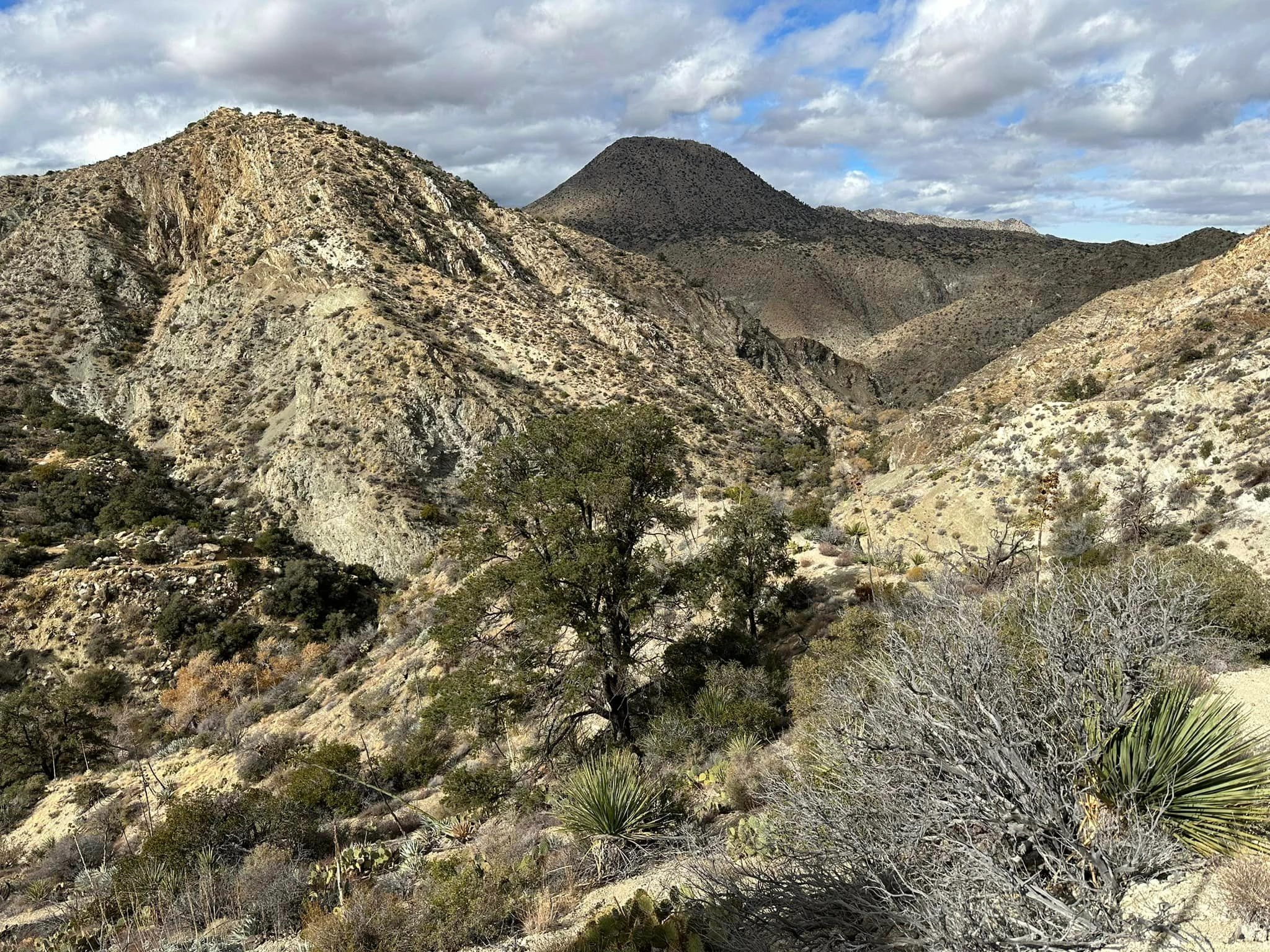
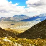
Martinez Bryne, photo by Stephen Bryne
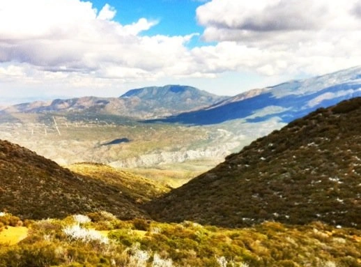
Martinez Bryne, photo by Janet Howell


Peakbagger.com

Nearest ranger station

NOAA Forecast

Google Earth


