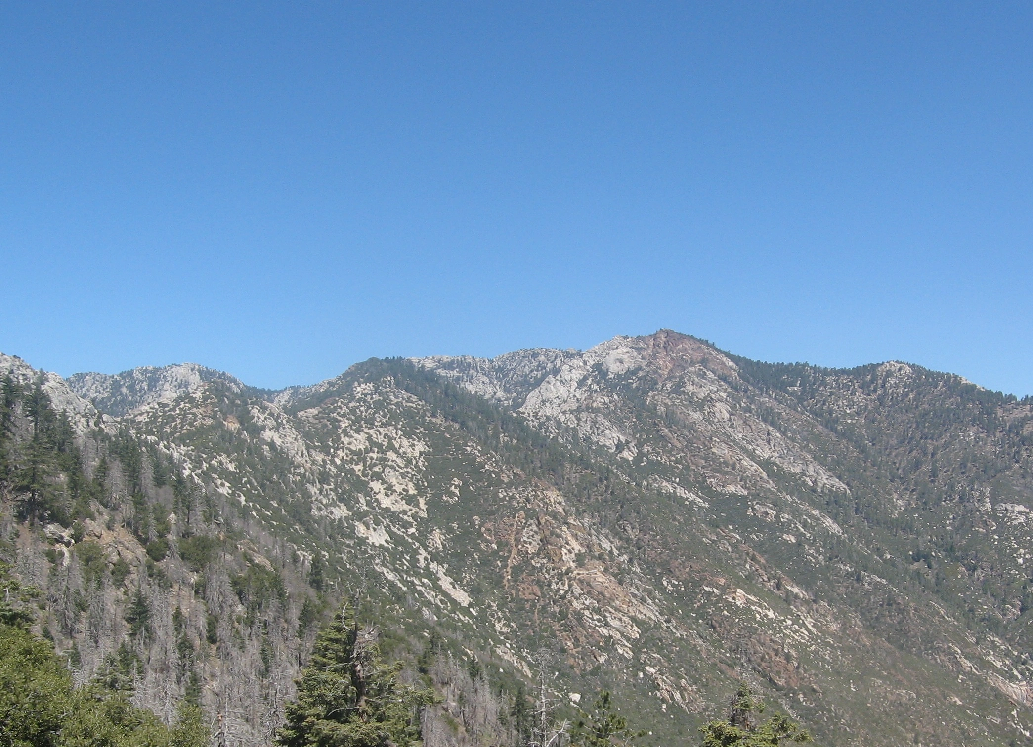
Southwell and Red Tahquitz, taken from the south, photo by Kathy Wing
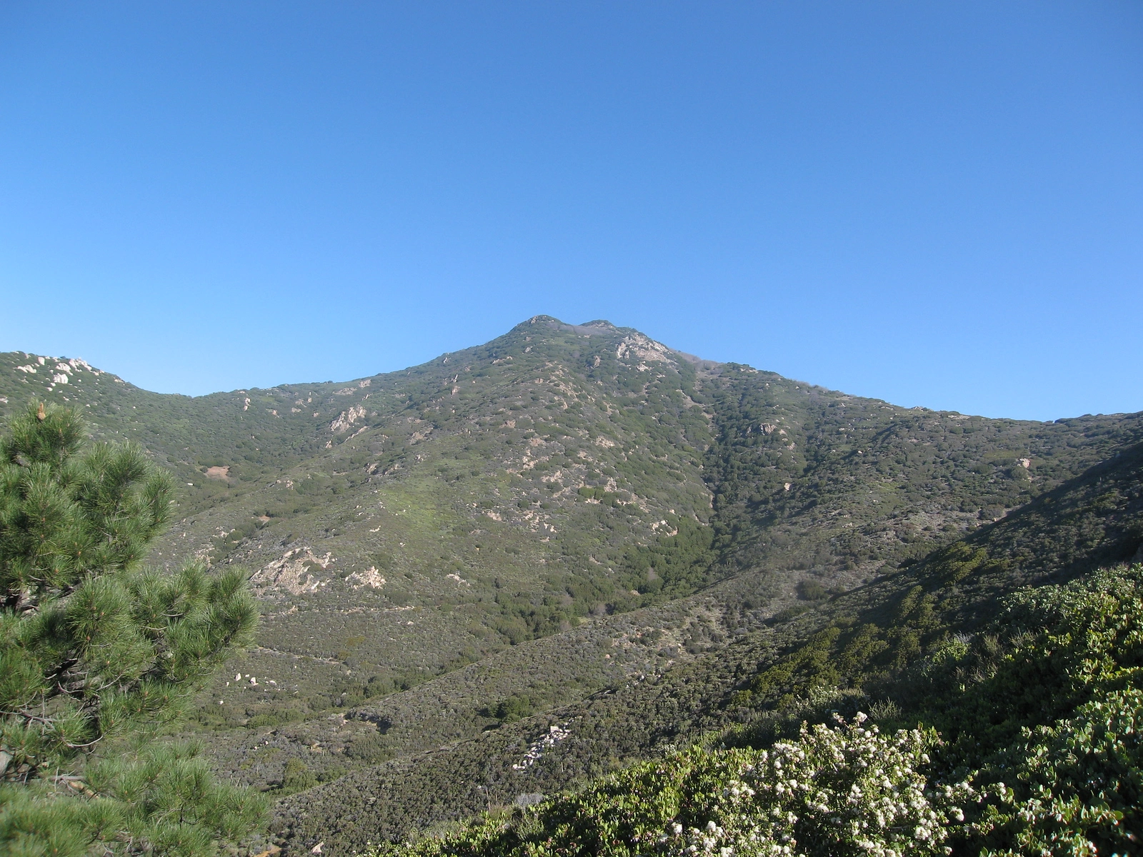
Southwell, taken from Fobes Trail, photo by Kathy Wing


Peakbagger.com

Nearest ranger station

NOAA Forecast

Google Earth


