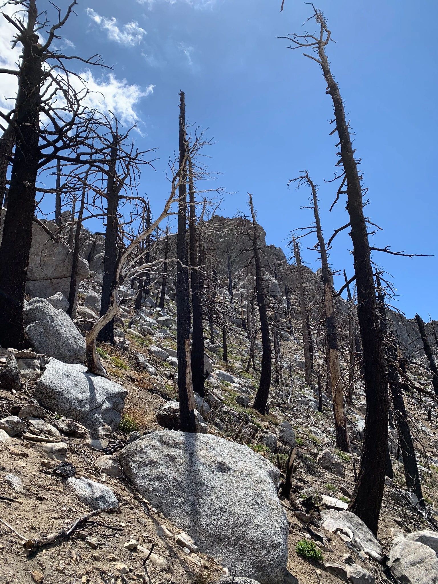
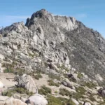
Antsell Rock, taken from DesertDivide, photo by Sharon Moore
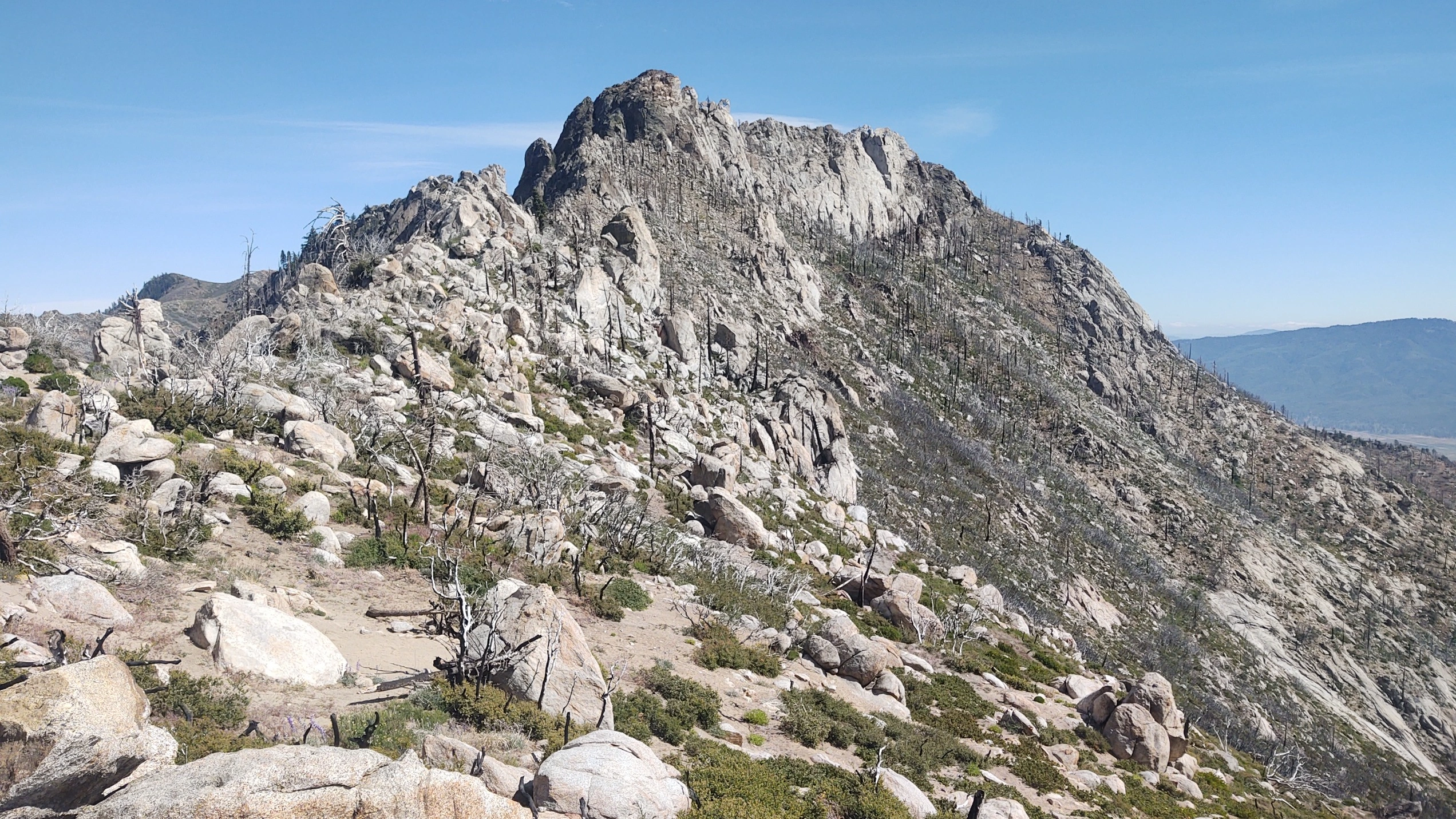
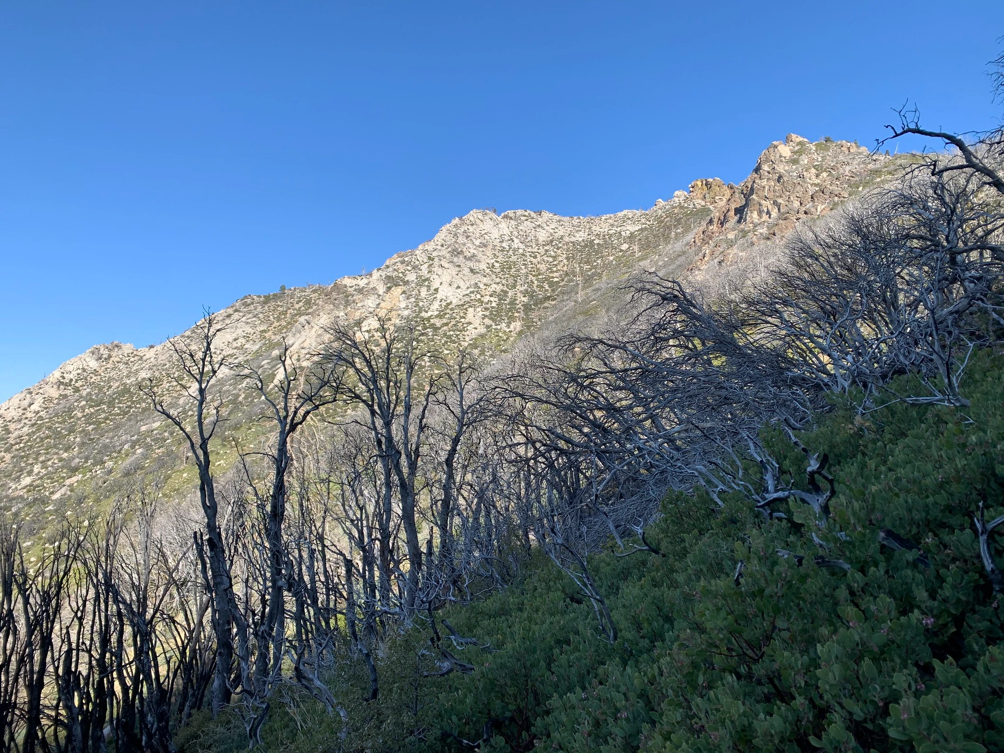
Antsellrock, photo by Steve Russell
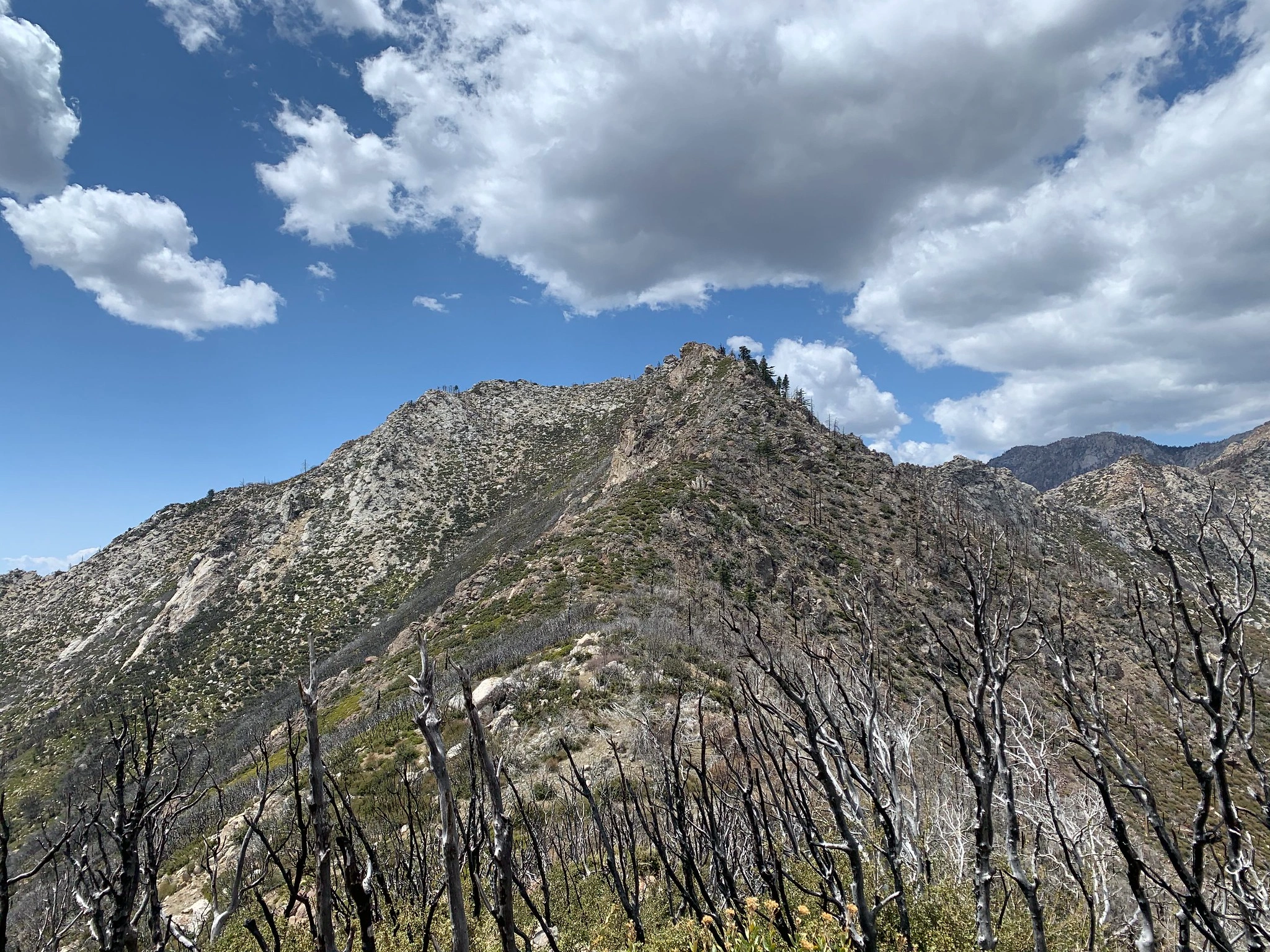
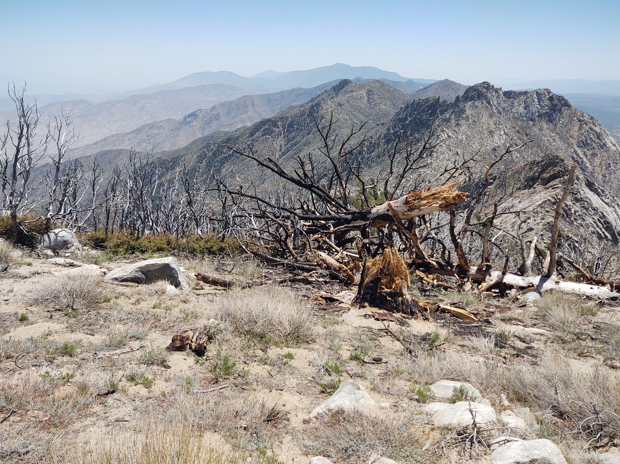
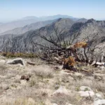
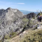
Antsell Rock in the distance, photo by Sharon Moore
Antsell Rock onright, photo by Sharon Moore
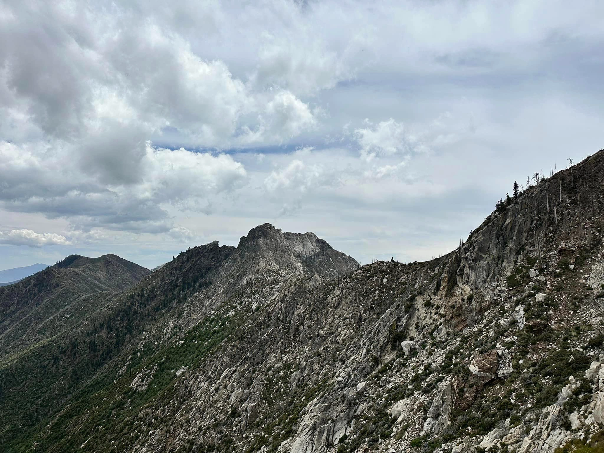
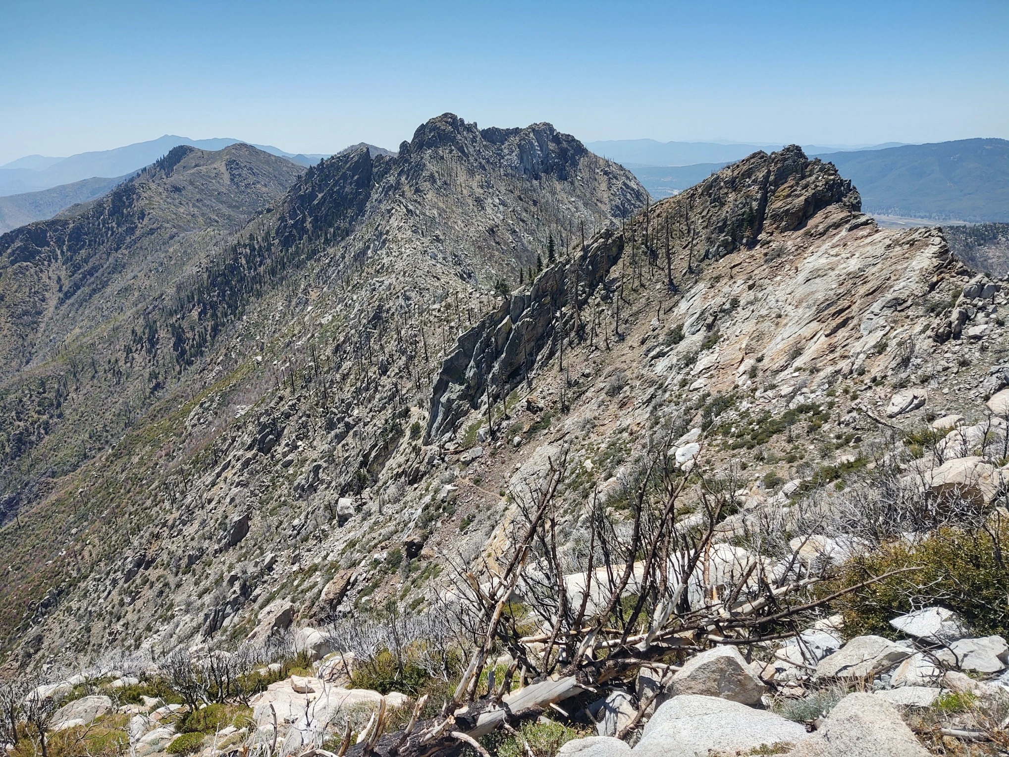
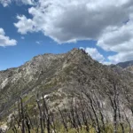
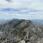
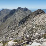
Antsell, taken from South Peak Closer, photo by Sunny Yi
Antsell, taken from South Peak, photo by Sunny Yi
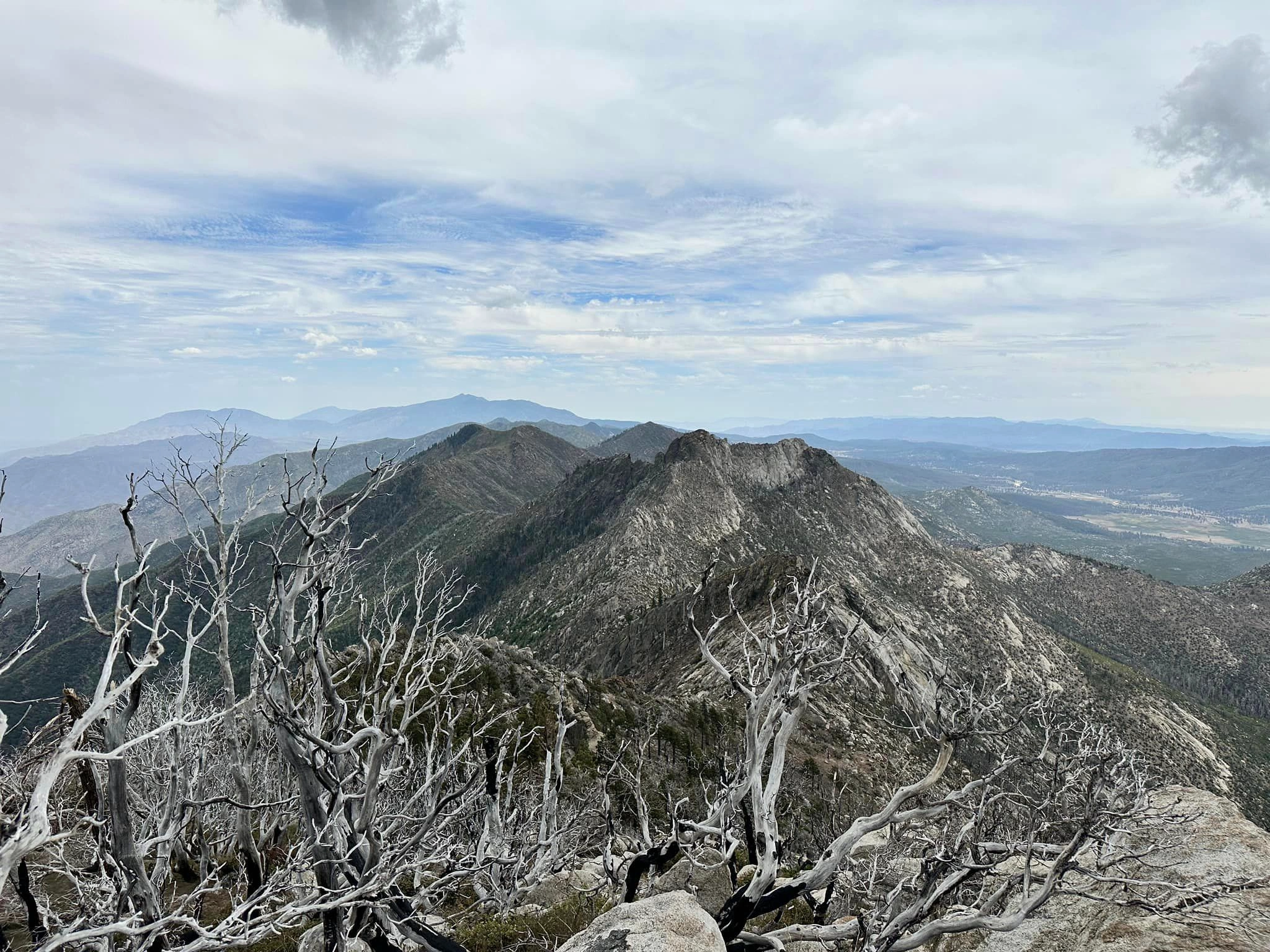
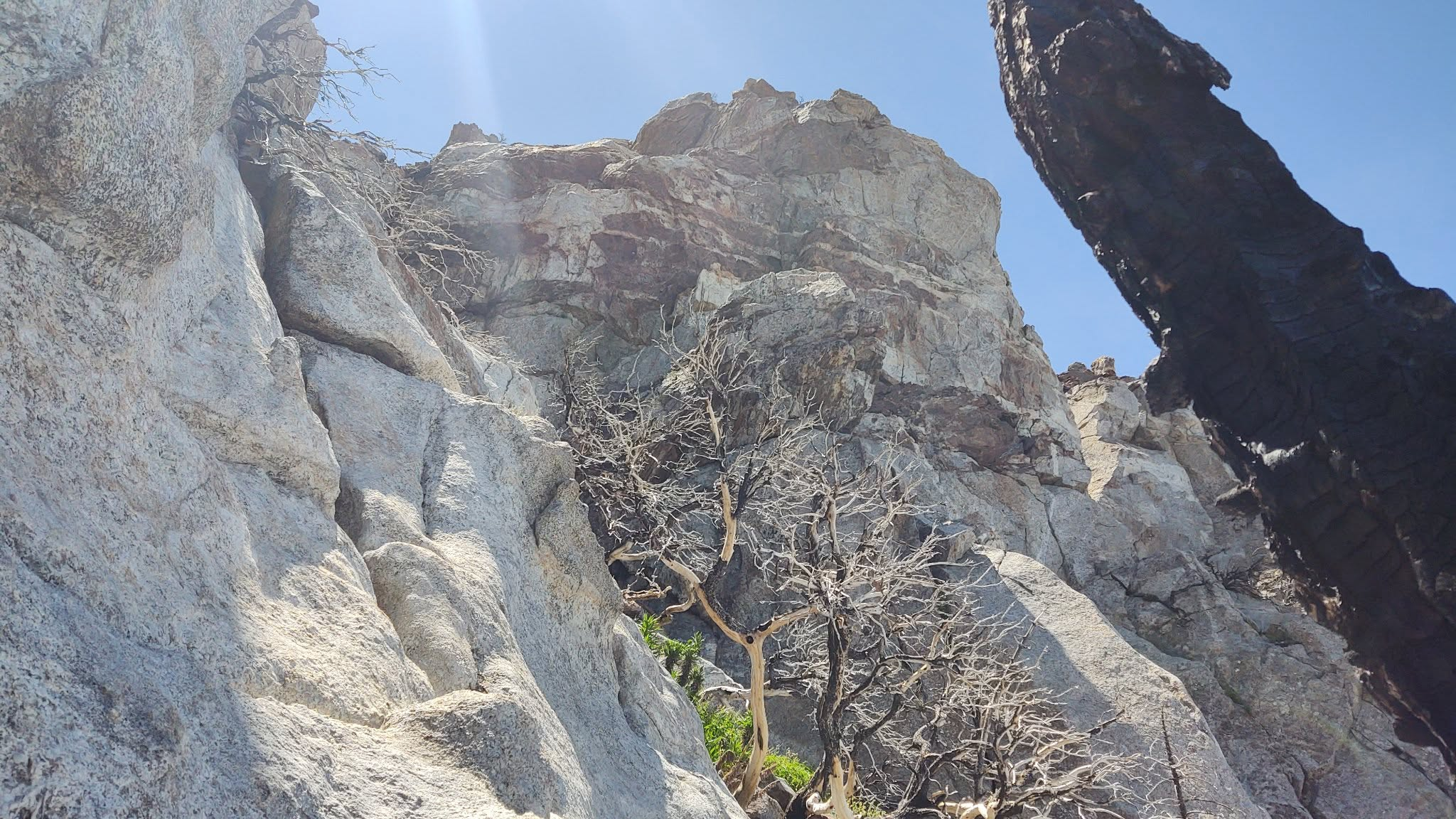
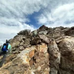
Antsell Rock Summit, photo by Janet Howell
Antsell Summit Block, photo by Sunny Yi
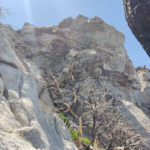
Antsellrock, photo by Steve Russell
Antsellrock, photo by Steve Russell
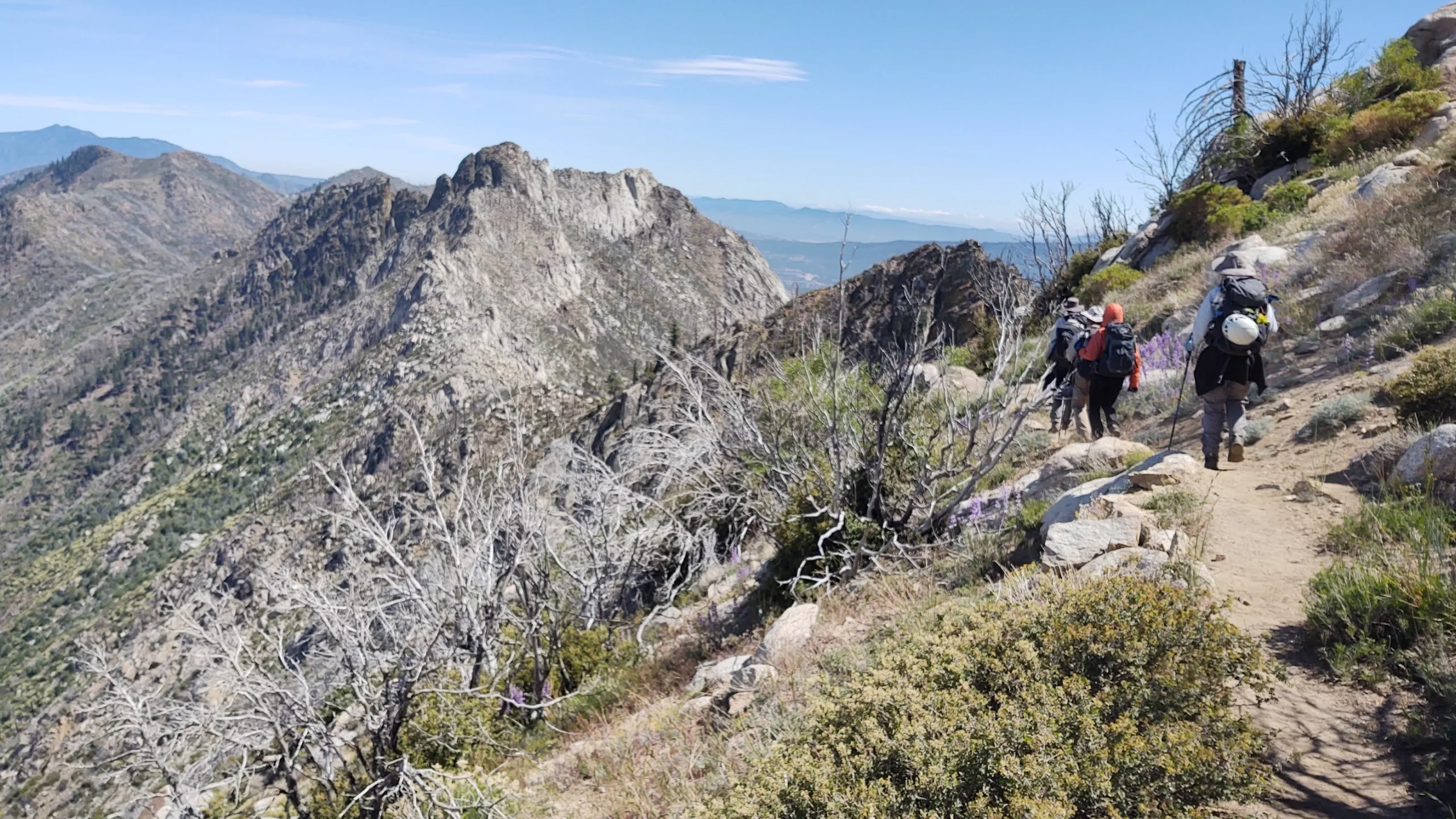
Antsellrock, photo by Steve Russell
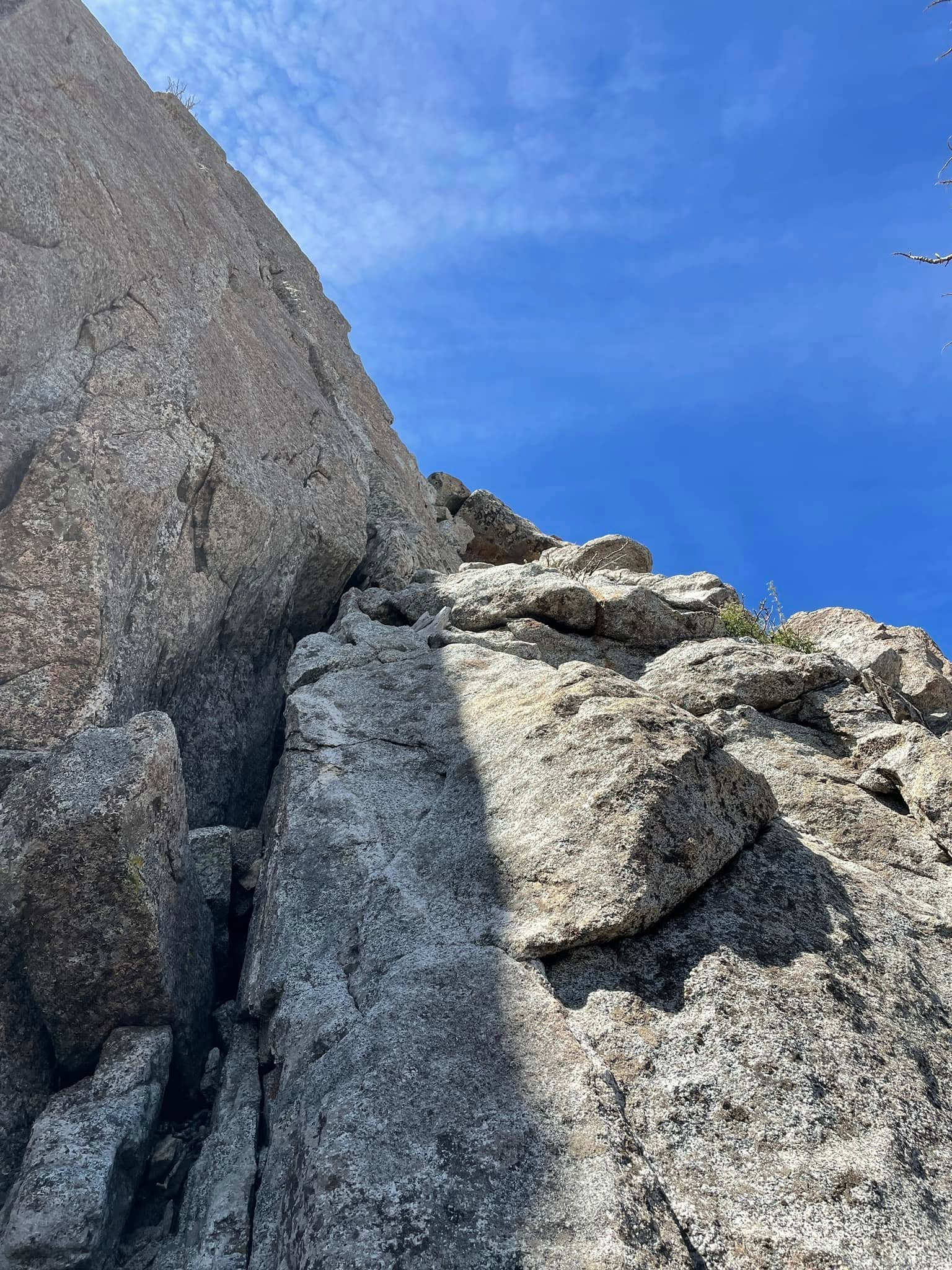
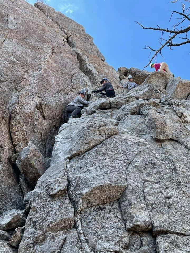
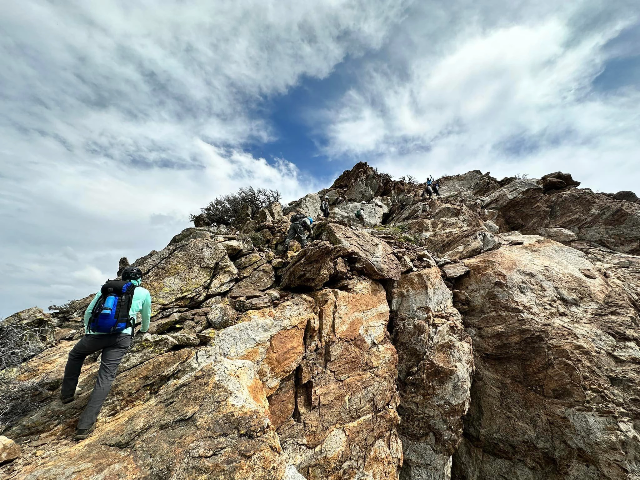
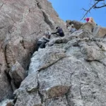
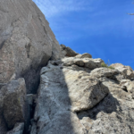
Antsell Rock, first class 3 section, photo by John Sheehe
Antsell Rock, first third class section, photo by Steve Russell


Peakbagger.com

Nearest ranger station

NOAA Forecast

Google Earth


