Topatopa Bluff

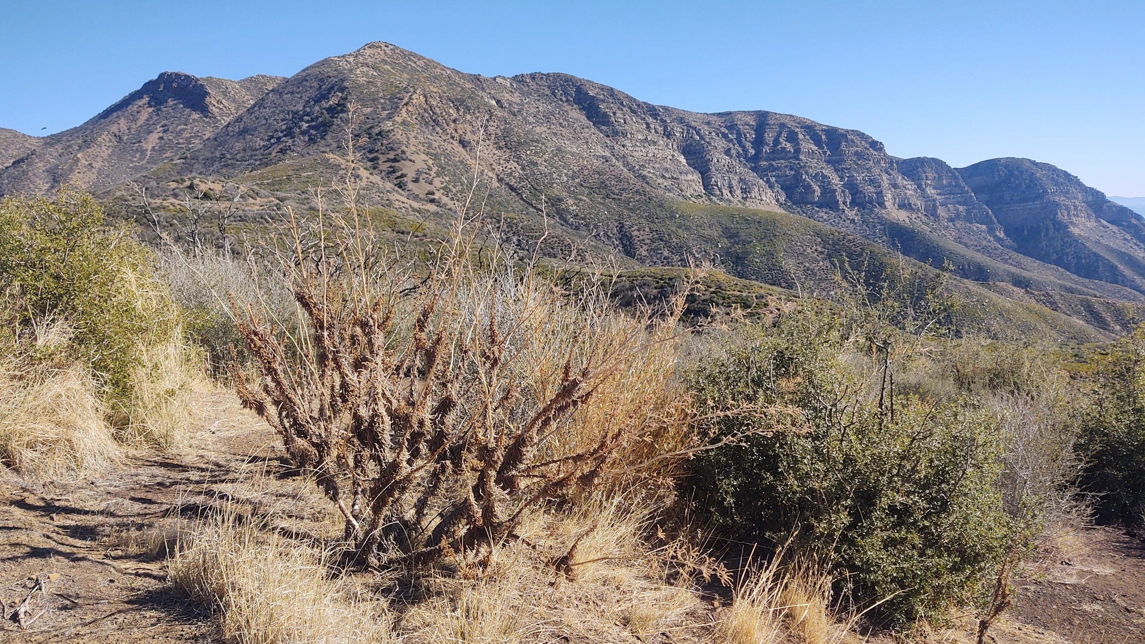
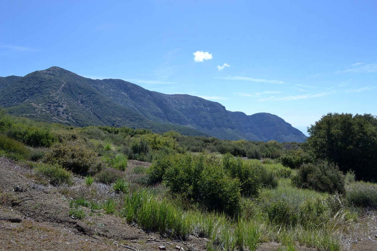
Topatopa Bluff, Photo by Valerie Norton.

Peak Name

Topatopa Bluff
07S

Elevation

6367

 feet

Status

active

Region

Ventura County

Range

Ventura Ranges

Nearby peaks

Location

34.498673,-119.107188

Description

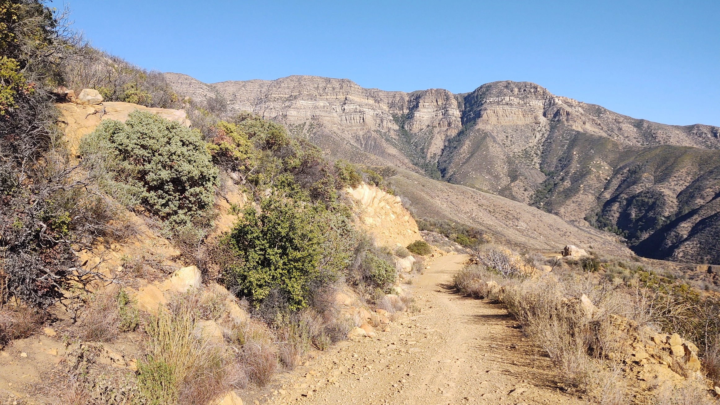
This HPS peak is the high point of Topatopa Bluff, which drops precipitously down to Sespe Creek. The bluffs dominate the Ojai skyline with the prominent multicolored horizontal bands that cross its face. The summit has panoramic views of Ventura County, the Pacific Ocean, and the Channel Islands, flanked by the majestic pine covered mountains to the north.

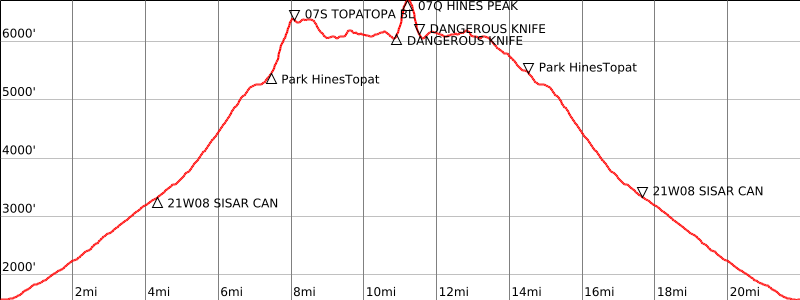
Route 1 is a short scramble up the west ridge from Nordhoff Ridge Road. Route 2 is a long strenuous hike up Sisar Canyon from Santa Paula on the remnants of an old Forest Service road to join Route 1.

Maps generated from CalTopo.com, reproduced with permission

Route 1- Piedra Blanca Trail
Elevation Gain
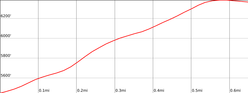
3800′ total, 3000′ out plus 800′ on return
Navigation Difficulty
easy
Distance
12 miles round trip on trail and cross-country
Estimated time
7-8 hours round trip
Route Rating
Class 2, strenuous
Leader Rating Required
“O”, normal conditions

Driving route

Take US 101 and SR 33 to the town of Ojai.
From the intersection of SR 150 and SR 33 in Ojai, go north on SR 33 for 14.7 miles to a road on the right signed “Rose Valley – 4”. Turn right.
Go 3.1 miles to a fork on the right. Turn right.
Drive into the campground. There is a road with a locked gate on the west side of the campground. Use the combination supplied with your permit to unlock the gate and lock it behind you. Note your odometer and go as follows:
At 2.2 miles, junction with the Nordhoff Ridge Road (22W15). Turn left (east).
At 3.9 miles a saddle with a duck on the south side. This is the parking spot for Chief Peak.
At 7.2 miles, fork with a sign “Road Ends 3 Miles”. Keep left.
At 8.4 miles, a sign “Trail 22W08” and road forks. Stay on the main road (right fork).
At 10.3 miles, a permanent barrier and a sign “Trail 21W08”. Park at a large area 0.1 mile back on bump 5479′

Hiking route

From the parking area, cross the road and hike east up Topatopa Bluff’s west ridge, following a steep but marked and maintained Forest Service trail.

Route Notes

Printable Route

Road Type

Paved

Google Maps Link to Trailhead 

Route 2- Nordhoff Ridge Road
Elevation Gain
1000′
Navigation Difficulty
Moderate
Distance
2 miles round trip on trail
Estimated time
1-1.5 hours round trip
Route Rating
Class 1, easy
Leader Rating Required
“O”, normal conditions

Driving route

Take SR 126 to Santa Paula. Turn north on SR 150. Note your odometer here.
At 8.8 miles the Summit School (unsigned) is on the right. Just before the school, turn right on Sisar Avenue. This is a very narrow and worn paved road. Note your odometer here.
Go past some houses to where the road turns to dirt, keeping right at two forks.
At 0.8 mile a water tank. Low clearance cars should park here.
At 1.0 mile a locked gate. All cars park here.

Hiking route

From the parking area (1850′), pass the gate and hike up the road which goes up Sisar Canyon. Continue for about 3 miles to where the road makes its second major switchback to the left.
Look for a trail sign straight in front of you, indicating 2.5 miles to the Nordhoff Ridge Road. Take this trail (21W08) up Sisar Canyon as it passes through the overgrown White Ledge Campsite and on to its junction with the Nordhoff Ridge Road (4N15). That junction is depicted in the extreme southwest corner of the Topatopa Mountains topo.
Turn right on Nordhoff Ridge Road and follow it 0.5 mile to where it crosses over to the left side of the ridge. Here a ridge comes down from the peak on the right side of the road.
Leave the road here and go up this ridge to the summit following a use trail and firebreak. There is a large cairn on the summit.

Route Notes

Printable Route

Road Type

Paved

Google Maps Link to Trailhead 

Additional Peak Information

Alternate route: If Topatopa Bluff is combined with Hines Peak, the peak can be climbed on the return from Hines Peak. On the return from Hines Peak at a prominent saddle between bumps 6363′ and 6445′, a road leads off to the left to the summit of Topatopa Bluff. Follow the Route 1 hiking instructions for the return to the vehicles from the summit of Topatopa Bluff.

Nearby Peaks

Backus Peak
Owens Peak
Black Mountain #5
Morris Peak

External Links

mountain 1

Peakbagger.com

Click Here

ranger-tower 1

Nearest ranger station

Click Here

g311

NOAA Forecast

Click Here

worldwide 1

Google Earth

Click Here

Photo Gallery