Peak Name
Elevation
feet
Status
Region
Range
Nearby peaks
Location
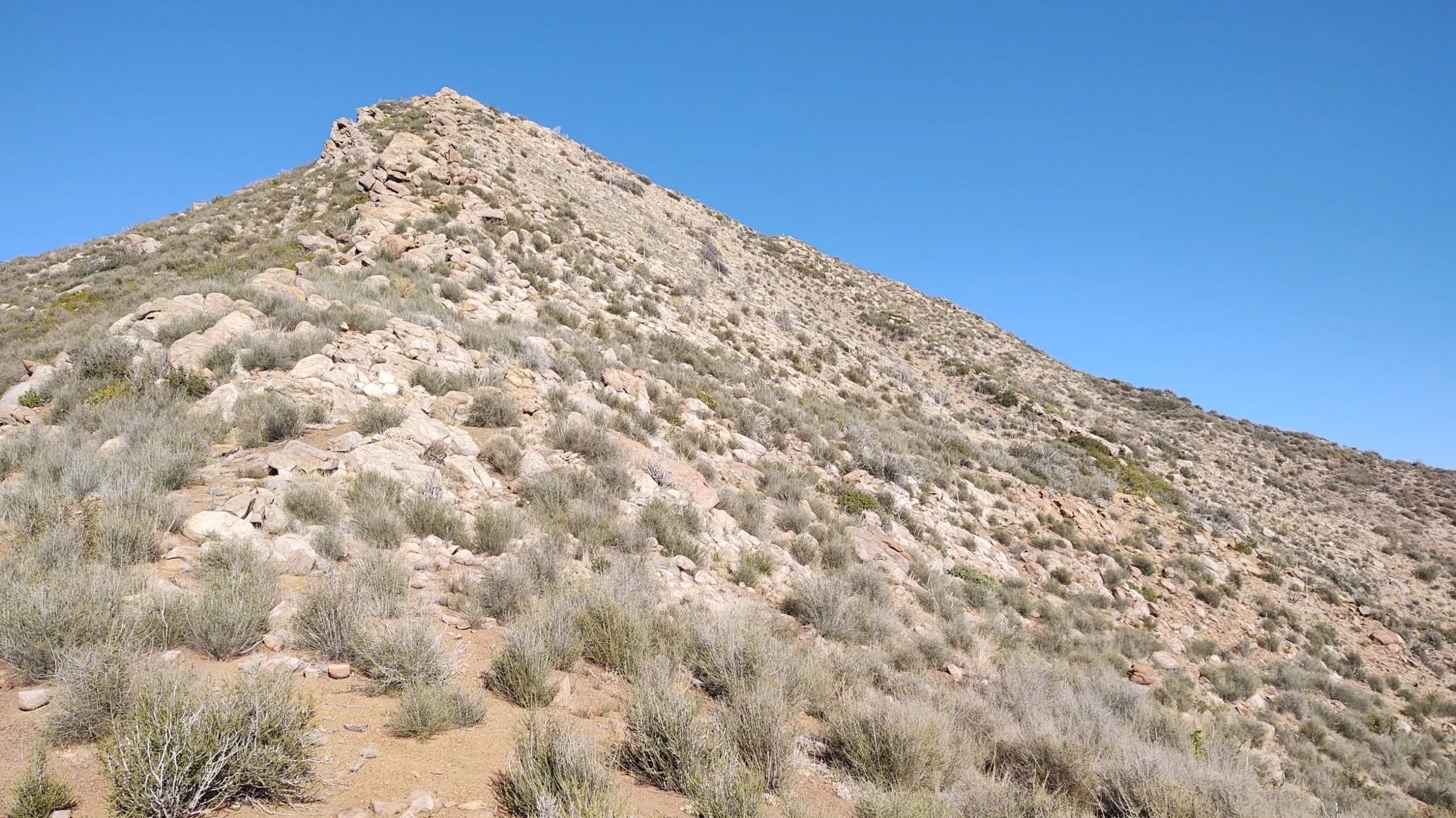
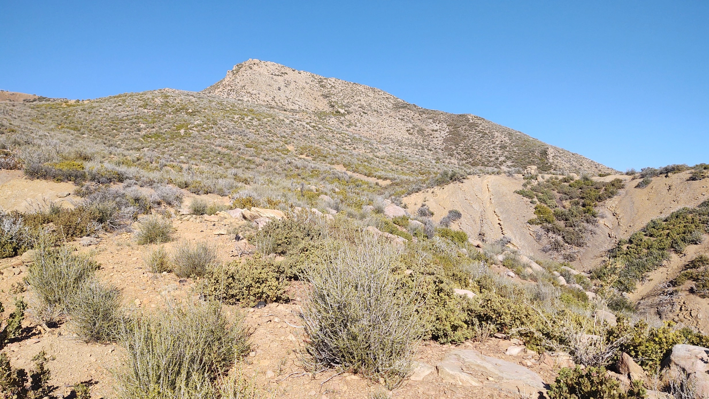
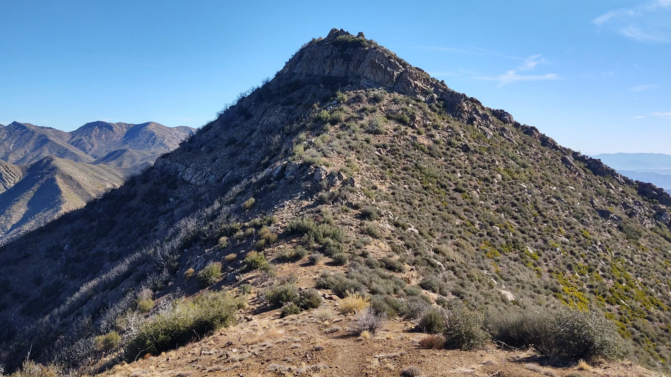
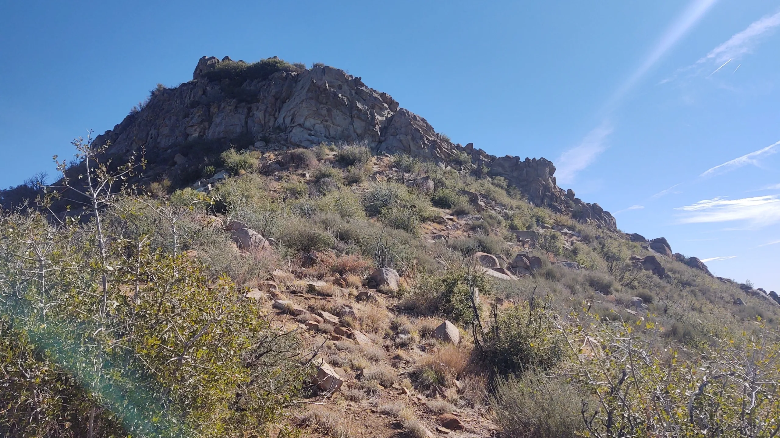
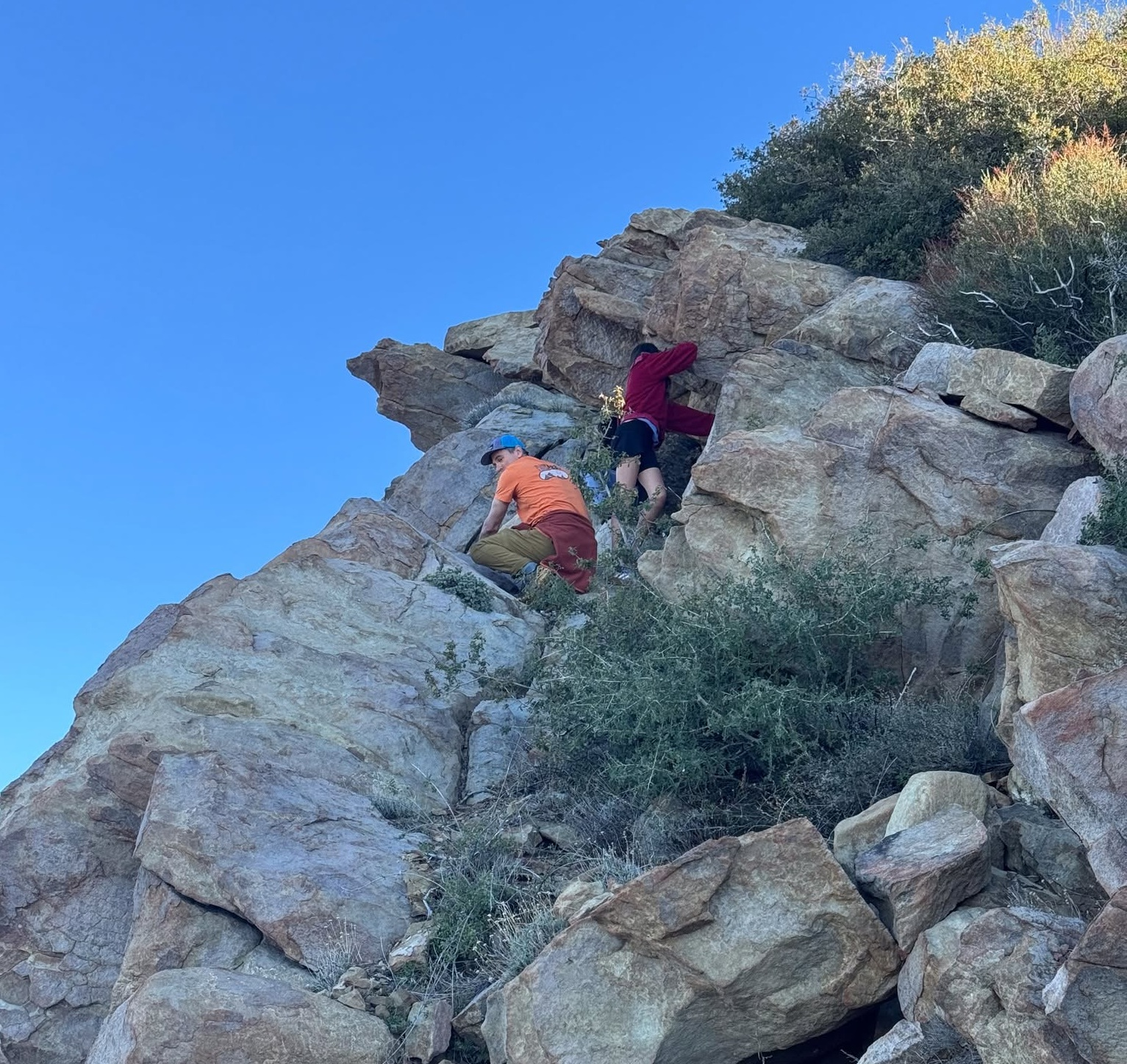
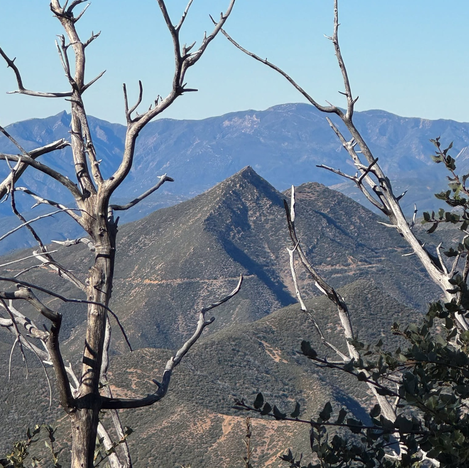
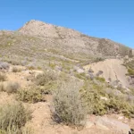
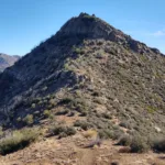
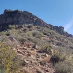
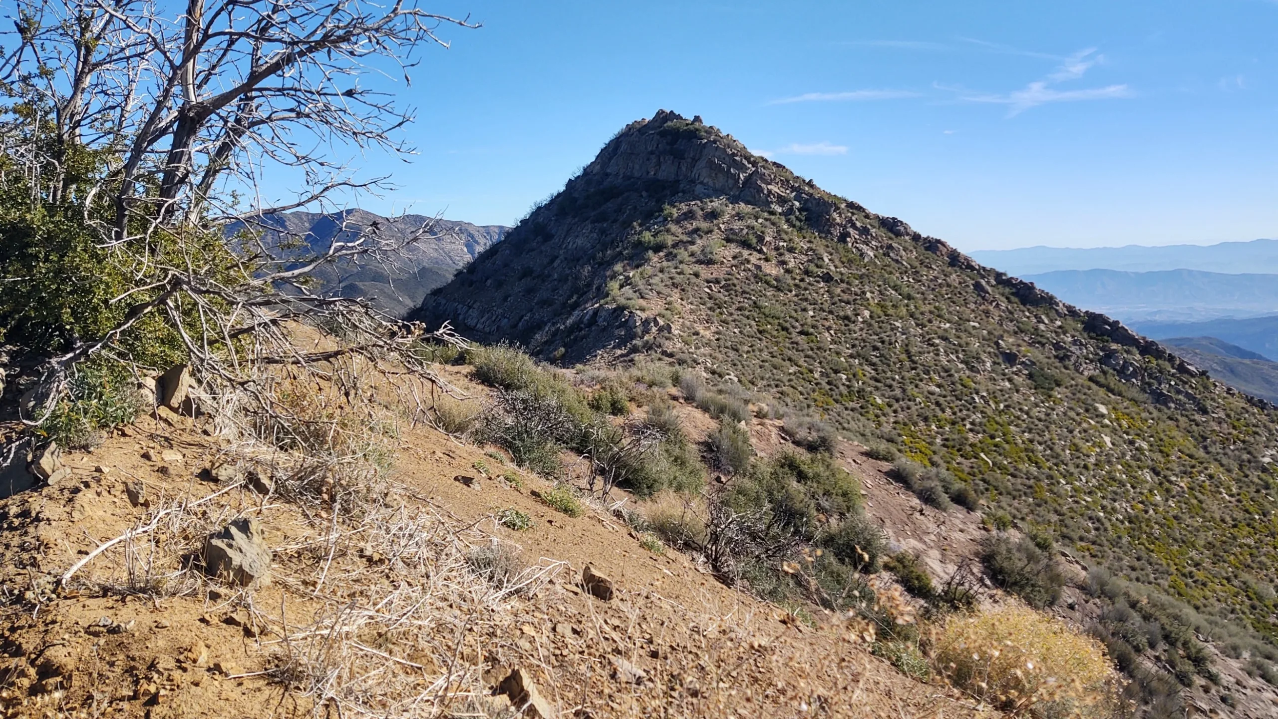
Chief Peak, with its interesting rocky pyramid shape that someone must have fancifully likened to an Indian Chief’s face, is usually hiked along with the other peaks on the Nordhoff Ridge Road, or can be hiked by itself from the gate. It has awe inspiring views out to the Pacific, the Channel Islands, the town of Ojai below with the dramatic Topatopa Bluffs and the surrounding Sespe Wilderness. See the notes below to obtain access through the Forest Service.
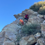
Route 1 starts from Rose Valley Campground and is mostly a road walk until it leaves the road (Route 2), for a short scramble to the peak.
Maps generated from CalTopo.com, reproduced with permission
Driving route
Take US 101 and SR 33 to the town of Ojai.
From the intersection of SR 150 and SR 33 in Ojai, go north on SR 33 for 14.7 miles to a road on the right signed “Rose Valley – 4”. Turn right.
Go 3.1 miles to a fork on the right. Turn right.
Drive into the campground. If you are not going to camp here, park just outside the campground. If you are camping, there is a limit of two cars per campsite
Hiking route
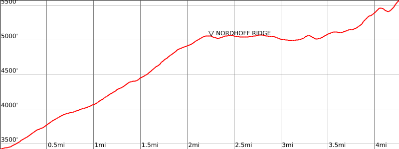
From the parking area (3450′), hike up a road (22W15) on the west end of the campground past a locked gate.
Continue up the road 2.2 miles to its junction with the Nordhoff Ridge Road (22W07) at 5050′.
Turn left and continue on 22W07 past a wire gate at 3.7 miles.
Continue to a saddle at 3.9 miles where the road leaves the ridge and goes down around the north side of Chief.
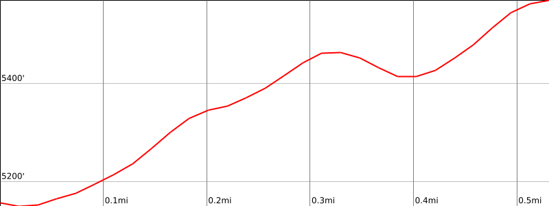
Leave the road on the right side and follow a faint use trail up the ridge.
Go over elevation 5471′ and down into a saddle.
Then follow a ducked route around the right side of the ridge and then left up to the summit.
Printable Route
Road Type
Driving route
Take US 101 and SR 33 to the town of Ojai.
From the intersection of SR 150 and SR 33 in Ojai, go north on SR 33 for 14.7 miles to a road on the right. Turn right.
Go 3.1 miles to a fork on the right with a sign “Rose Valley Campground – 1/2”. Turn right.
Drive into the campground. There is a road with a locked gate on the west side of the campground. Use the combination supplied with your permit to unlock the gate and lock it behind you. Note your odometer and go as follows:
At 2.2 miles, junction with the Nordhoff Ridge Road (22W15). Turn left (east).
At 3.5 miles, pass through a wire gate.
At 3.9 miles a saddle with a duck on the south side. Park here.
Hiking route
Leave the road on the right side and follow a faint use trail up the ridge.
Go over elevation 5471′ and down into a saddle.
Then follow a ducked route around the right side of the ridge and then left up to the summit.
Route Notes
Printable Route
Road Type
Additional Peak Information
Nordhoff Ridge Road is now open without permit from 5/15 to 12/15 except when damaged or raining.


You must be logged in to upload images.