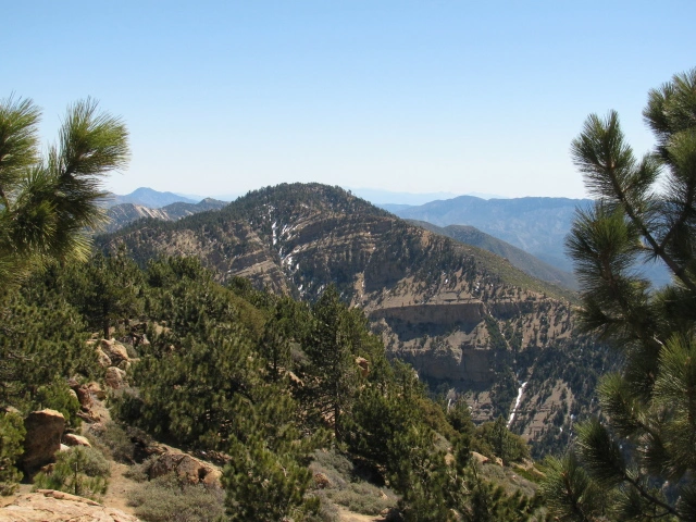
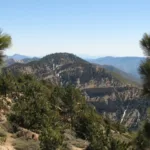
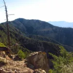
Haddock Mountain, taken from Reyes Peak, photo by Valerie Norton
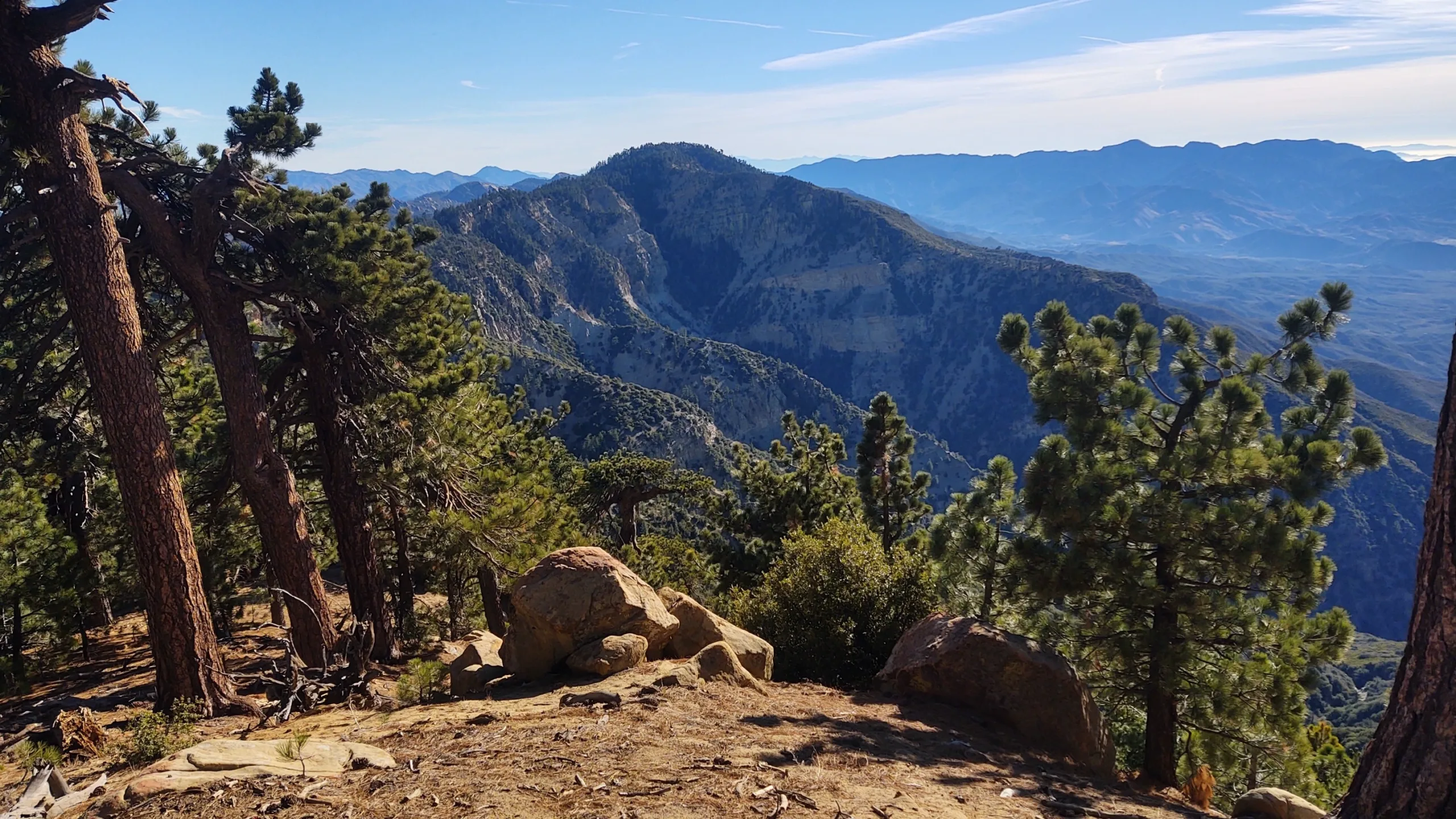
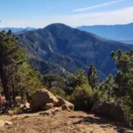
Haddock Mountain, photo by Steve Russell
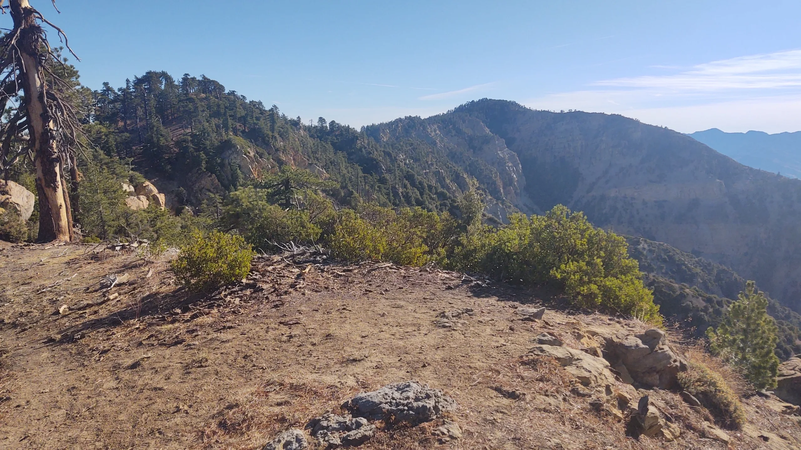
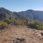
Haddock Mountain, photo by Steve Russell
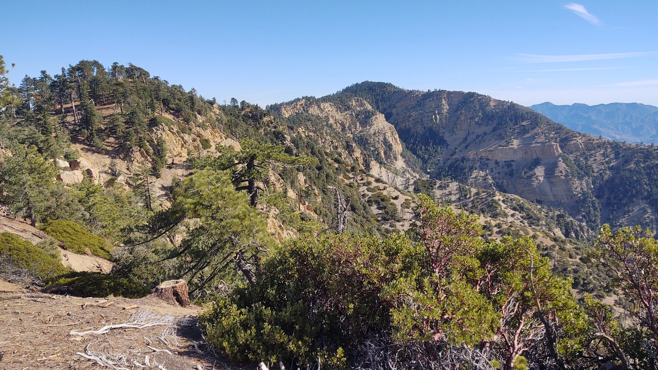
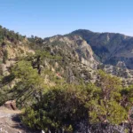
Haddock Mountain, photo by Steve Russell
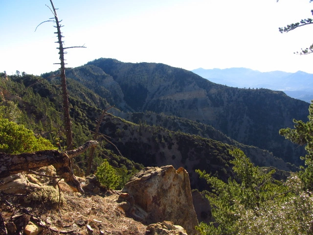
Haddock Mountain, photo by Valerie Norton
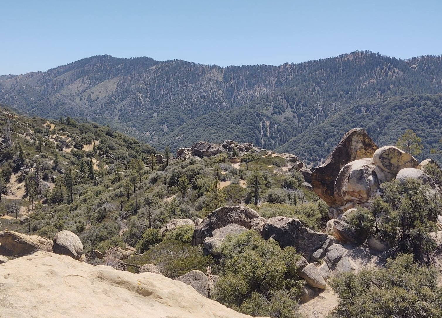
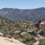
Haddock Mountain, from Beartrap Bluff. Photo by Steve Russell
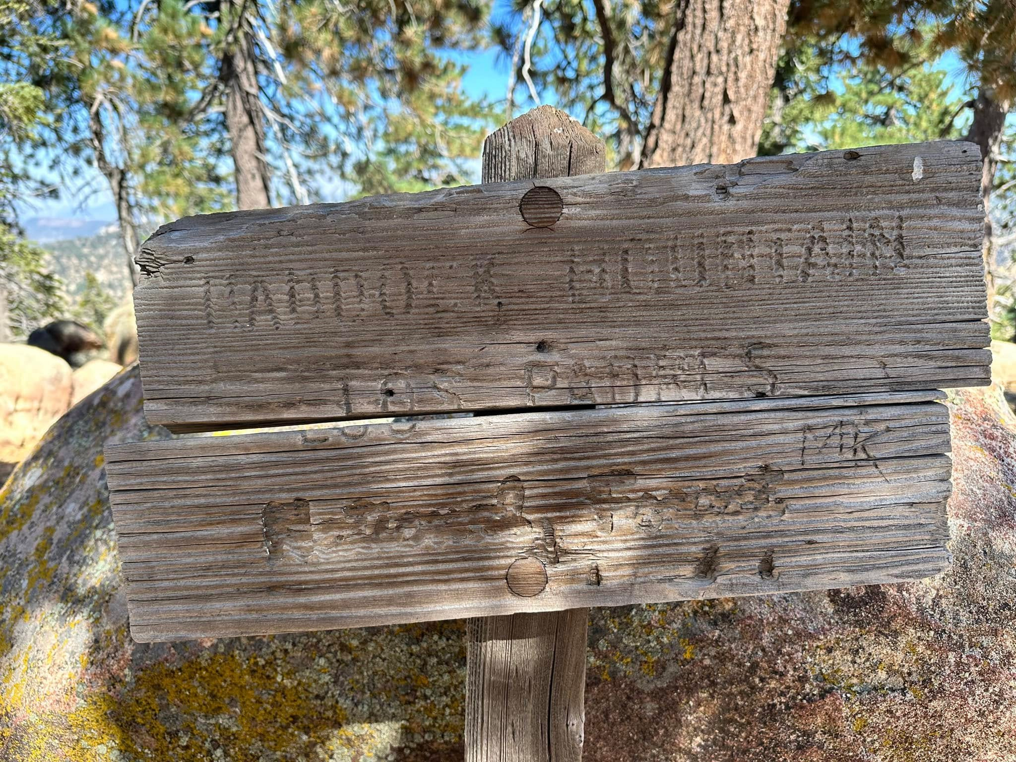
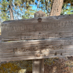
Haddock Mountain trail sign, photo by Sunny Yi
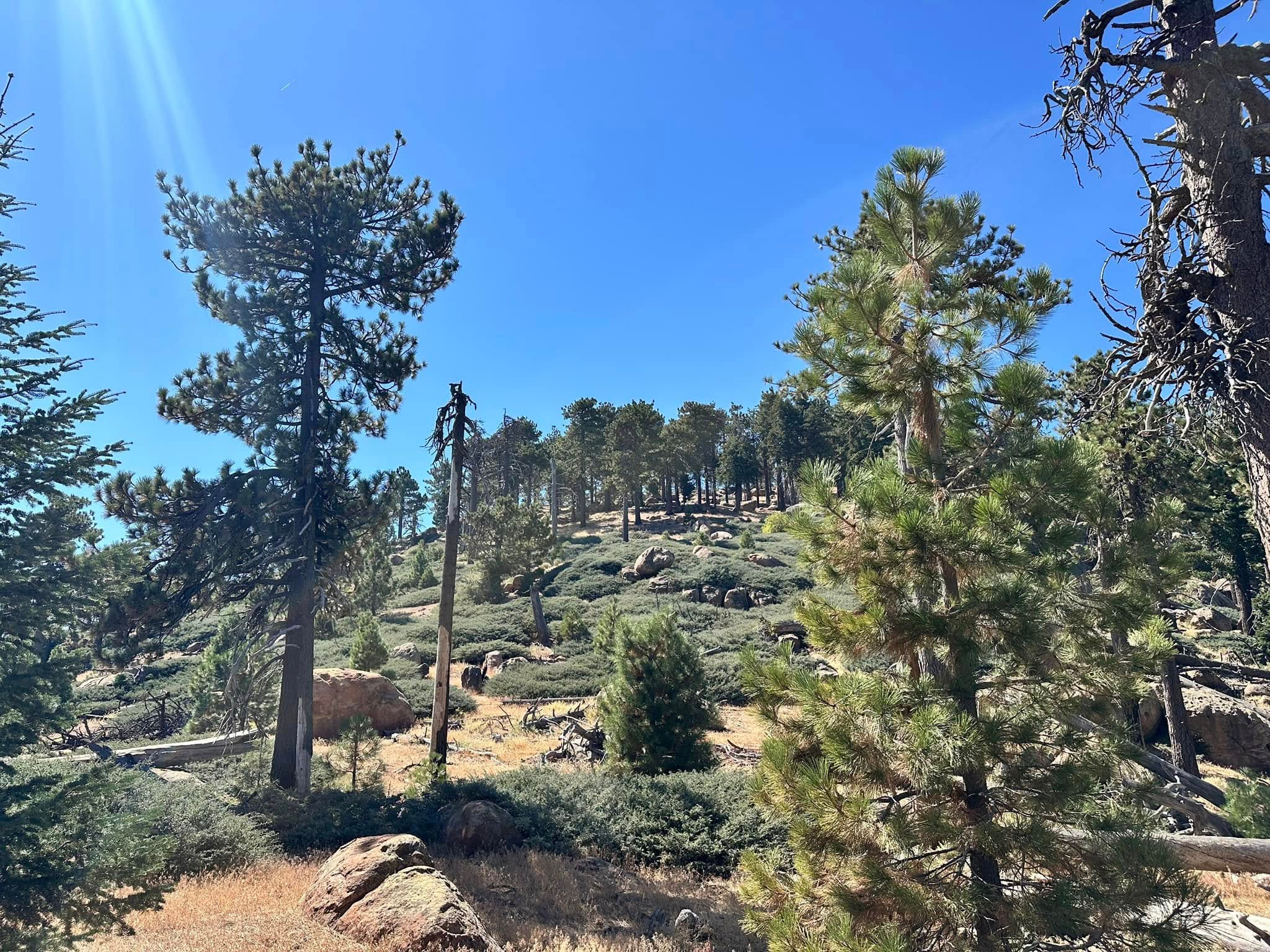
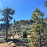
Haddock Mountain, near summit, photo by Sunny Yi


Peakbagger.com

Nearest ranger station

NOAA Forecast

Google Earth


