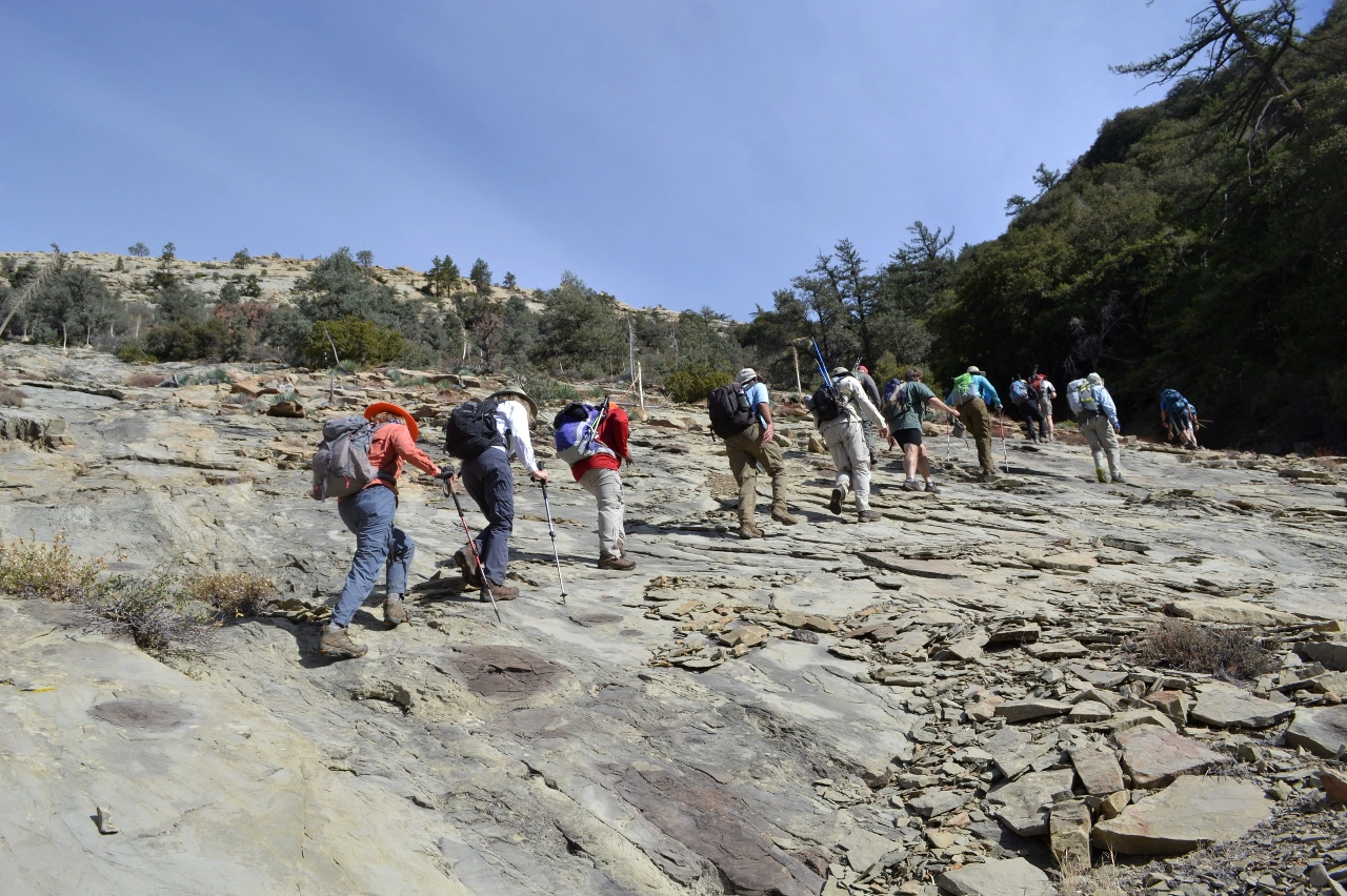
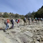
Climbing the Slabs on Beartrap bluff, photo by Valerie Norton
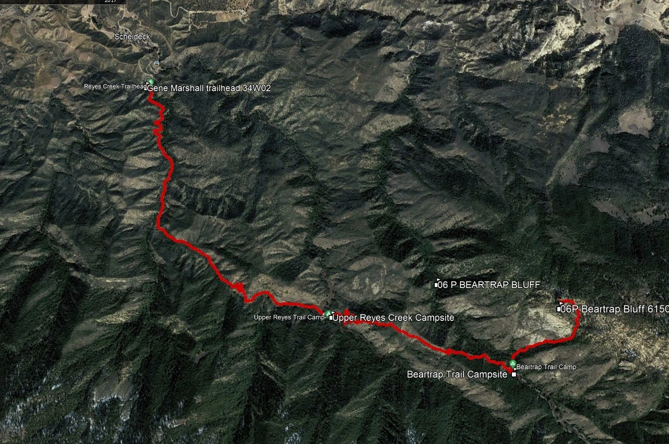
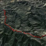
Beartrap Bluff, photo by Google Earth
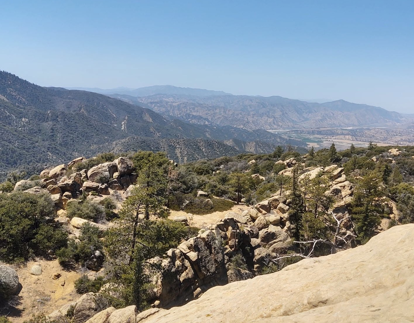
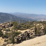
View from Beartrap Bluff: Big Pine, Big Four, San Andreas fault, Cuyama Peak. Photo by Steve Russell
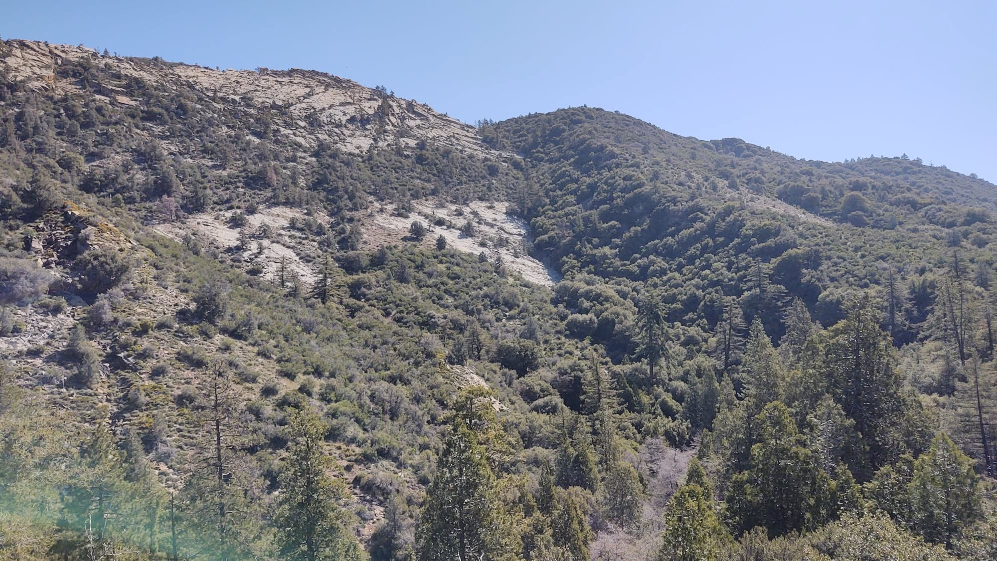
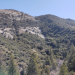
Beartrap Bluff approach, gully and slabs, photo by Steve Russell


Peakbagger.com

Nearest ranger station

NOAA Forecast

Google Earth


