Peak Name
Elevation
feet
Status
Region
Range
Nearby peaks
Location
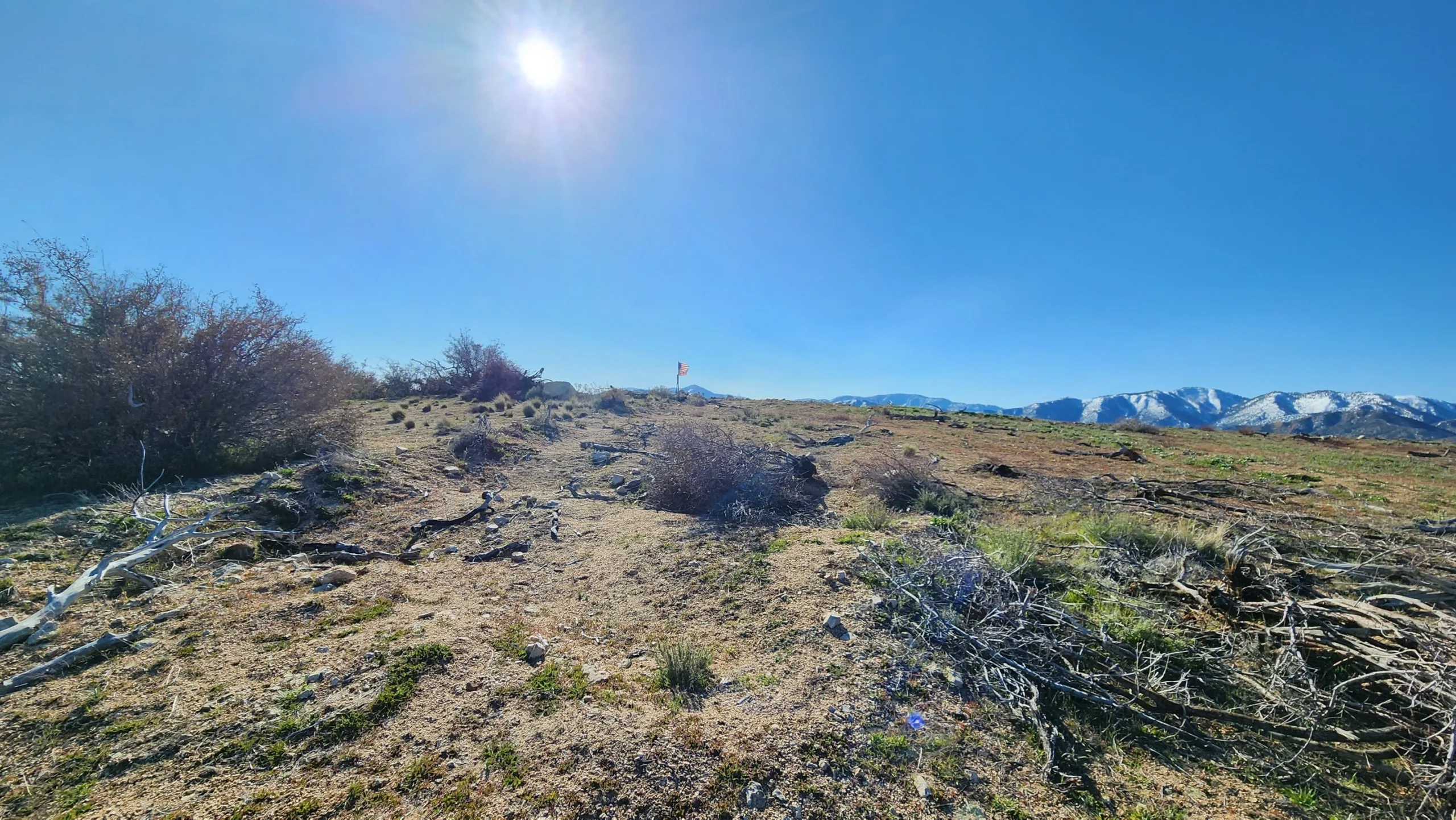
Mount Emma and her little sister Old Emma are relatively short, moderately steep hikes on old roads, trails and cross country. They are often hiked as a loop. The peak has expansive views of the high desert to the north and the surrounding mountains, including those of the beautiful Angeles National Forest.
Route 1 goes straight up the ridge, but there are numerous other possible alternative routes. Emma is commonly hiked with Old Emma, either out and back or as a loop, and sometimes with Cole Point with or without a car shuttle.
Maps generated from CalTopo.com, reproduced with permission
Driving route
From the intersection of I-210 and Angeles Crest Highway (SR 2), drive north on Angeles Crest Highway 9.5 miles to Angeles Forest Highway. Turn left (north).
Go about 20 miles to the Mount Emma Road. Turn right (northeast).
Continue 2.0 miles to where the road goes over a shallow saddle. Park here.
Hiking route
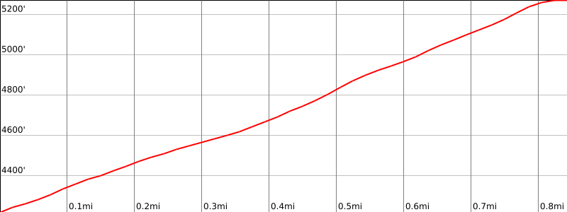
From the parking area (4250′), hike southeast up a use trail which meets a firebreak at 4300′.
Follow the firebreak to the summit.
Additional Peak Information
Historical notes: The peak is named for Emma Pallett, one of the Pallett Ranch daughters. Early maps had the summit incorrectly labeled on elevation 5063′, now called Old Mount Emma.


You must be logged in to upload images.