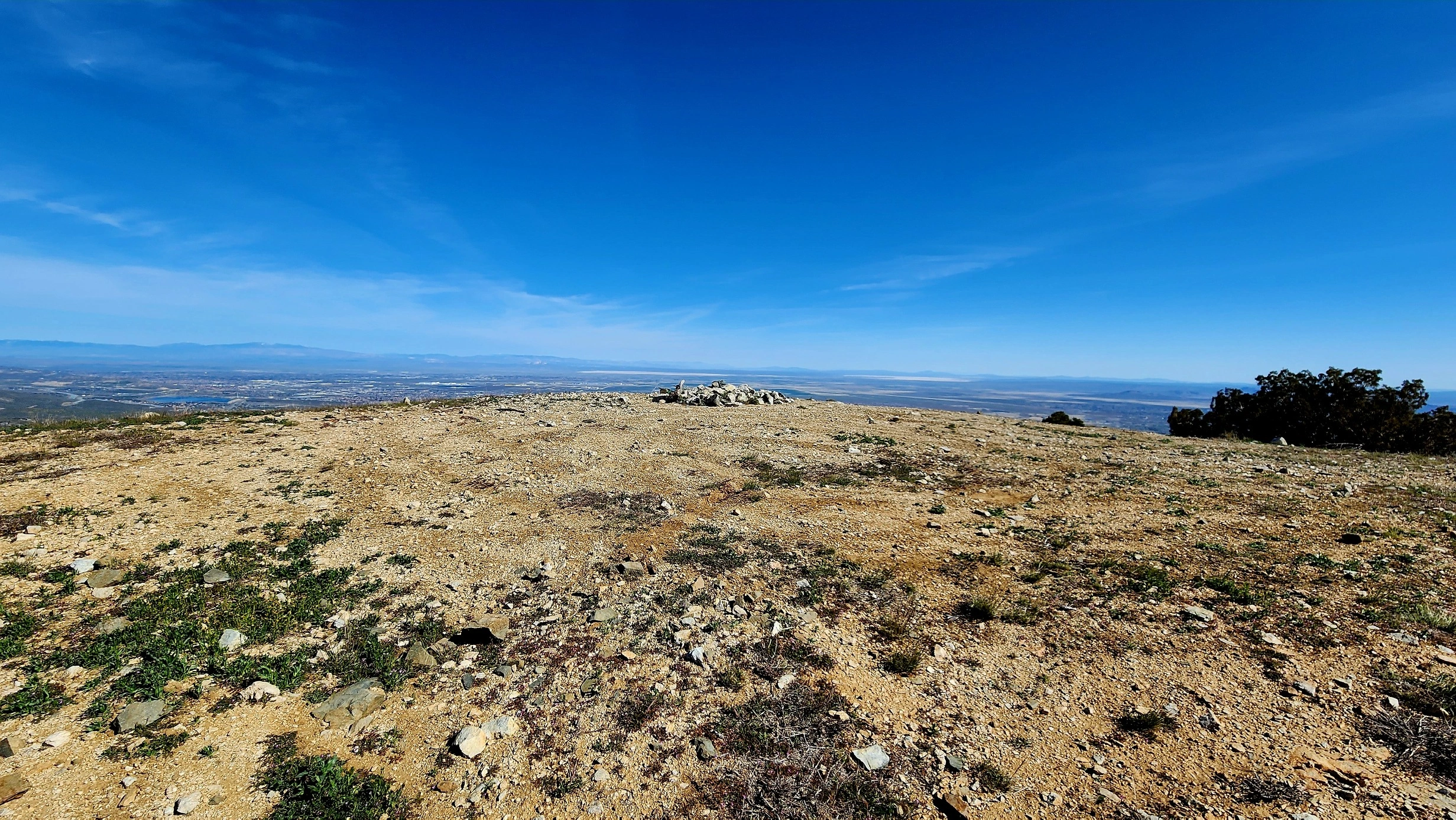
Old Mount Emma, photo by Tao Zhang
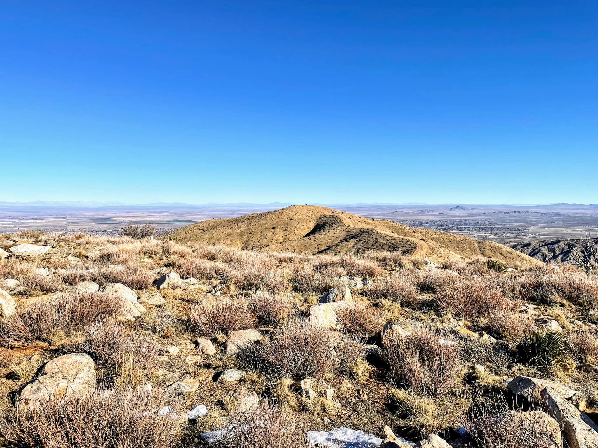
Old Mount Emma, photo by Sunny Yi

Old Emma, photo by Sunny Yi


Peakbagger.com

Nearest ranger station

NOAA Forecast

Google Earth


