Peak Name
Elevation
feet
Status
Region
Range
Nearby peaks
Location
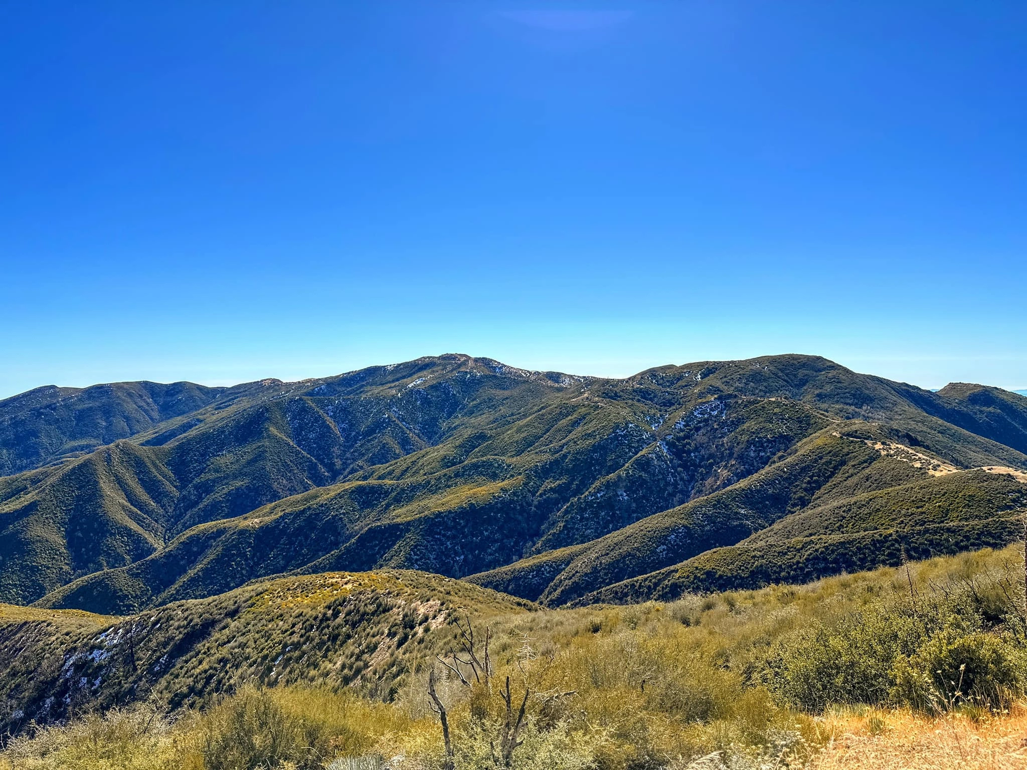
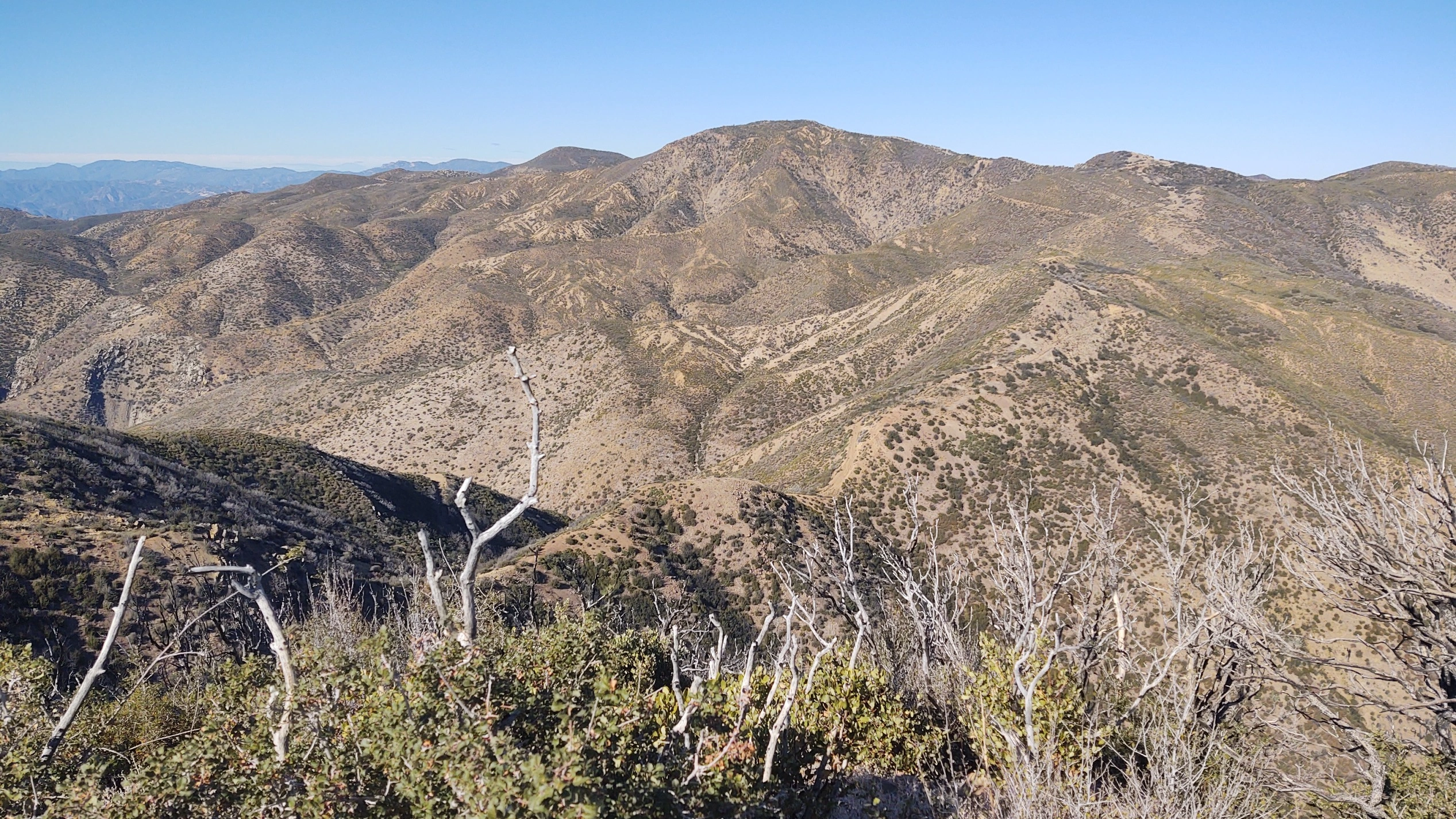
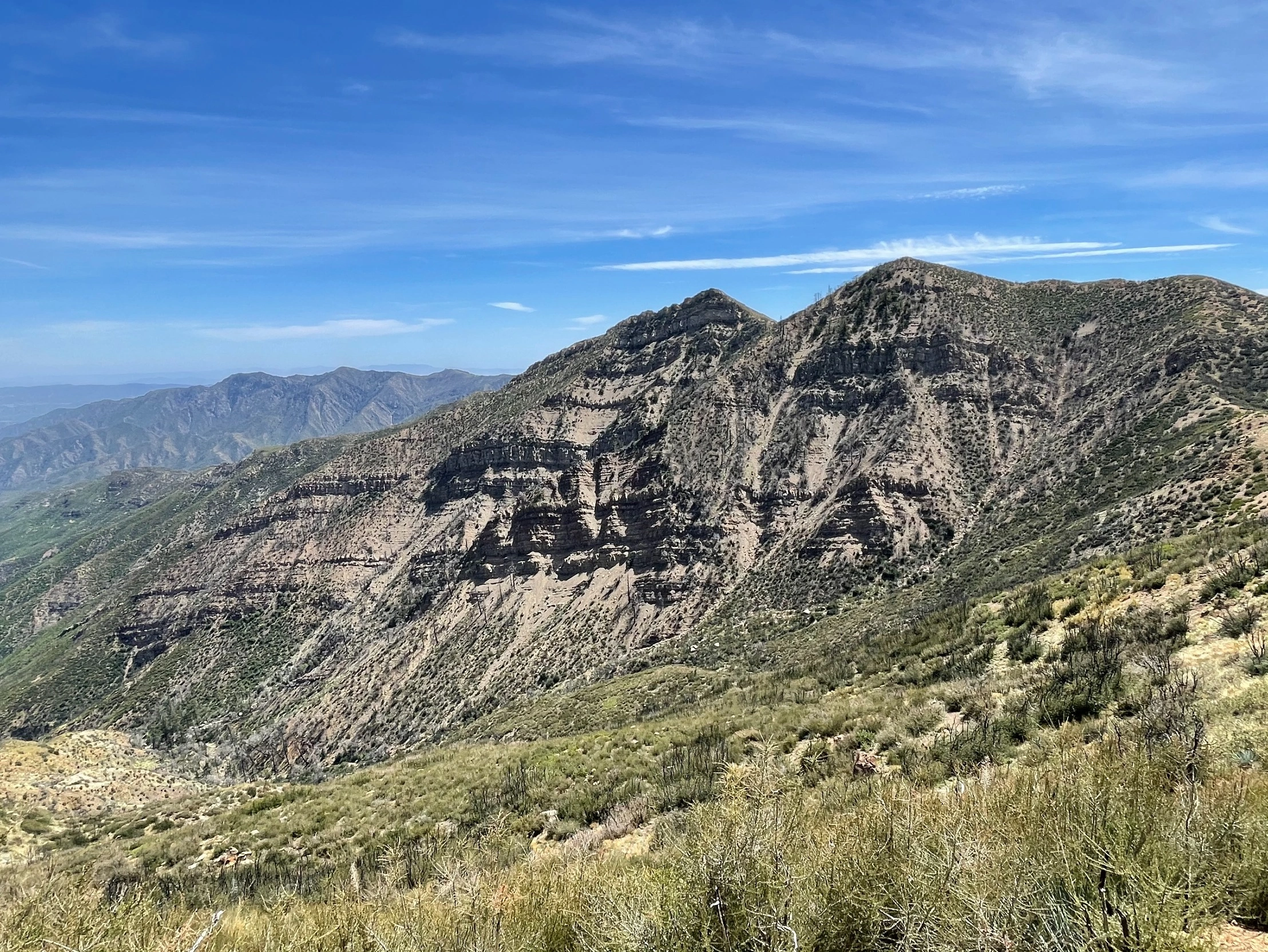
Monte Arido, a name apparently chosen at random by the Forest Service, is clearly misnamed, for arid and barren it is not. From the peak one has expansive views of the magnificent Pacific Ocean, the wild canyons and ranges of this remote region of Los Padres, and beautiful pine forests on its steep northern slopes. Monte Arido is usually hiked with nearby Old Man Mountain.
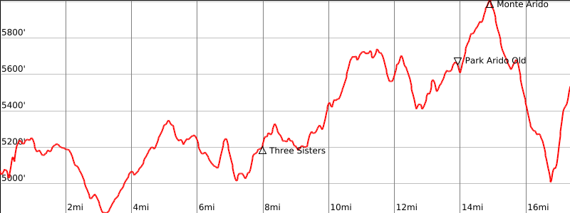
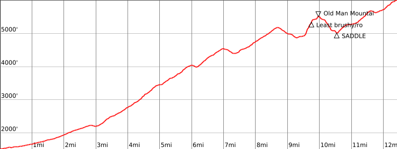
Route 1 is an extremely long road hike with a short scramble to the peak. The map show the best routes to avoid brush. Route 2 is also a very long trip, ascending Murrieta Canyon on good road to Murrieta Divide, after which the road gets somewhat rougher, to a short off trail ascent to the peak. Both routes, especially Route 1, are good mountain bike outings for the fit biker, with considerable gain overall.
Maps generated from CalTopo.com, reproduced with permission
Driving route
Take US 101 freeway to Ventura.
Go north on SR 33 to the town of Ojai.
From the intersection of SR 150 and SR 33 in Ojai, go north on SR 33 for 32 miles to Pine Mountain Summit. Turn left on a gated and locked dirt road. This is the Potrero Seco Road. Park here.
Hiking route
Hike or bike past the gate, and go as follows:
At 3.4 miles, keeping right at all forks to a cattle guard, continue straight.
At 4.9 miles, Don Victor trail on the right. Continue straight.
At 7.3 miles, fork. Go right.
At 8.1 miles is a set of large gendarmes marked on the TOPO as “Three Sisters”. This is the turnoff for Hildreth Peak.
At 8.6 miles, gate. Keep straight ahead.
At 14.1 miles, gate at a road fork.
From this point (5800′), take the left road fork.
Follow the road 0.8 mile to the summit, which is just west of the road.
Note: Monte Arido is next to the road that leads to Old Man Mtn. Both of these peaks are usually done on the same outing.
Driving route
Take US 101 freeway to Ventura.
Go north on SR 33 to the town of Ojai.
From the intersection of SR 33 and SR 150 in Ojai, go north on SR 33 for 5 miles and turn left on paved Matilija Road.
Go west 5.0 miles to a locked gate. Park here.
Hiking route
From the parking area (1540′), hike up the road past the gate.
Pass some houses, a small stream crossing, and then a larger one. A short distance past this crossing is a trailhead on the right. Continue on the road to another trailhead on the left with a sign “Murietta Canyon Trail 24W07”.
Turn left (south) on this trail and follow it about two miles to where it meets a road.
Turn left (west) on this road and continue about 3 miles to a saddle. This is Murrieta Divide.
Turn sharp right (north) and continue up the road about 7 miles to the summit.
Route Notes
Note: The second river crossing about 1/2 mile from the parking area is sometimes impassable after heavy rains. The land on both sides of the road is part of the Murrieta Canyon Wildlife Study Area. Public entry is prohibited. Please stay on the road or trail. Mountain bikes should not be used on the Murietta Canyon Trail. Continue on the road past the Murietta Canyon trailhead about 0.2 mile to a road fork with a sign ” <– ALL TRAILS”. Keep left and continue about another 0.2 mile to a road junction. Turn left at this junction and follow it up to Murietta Divide.
Additional Peak Information
Monte Arido is next to the road that leads to Old Man Mtn. Both of these peaks are usually done on the same outing.


You must be logged in to upload images.