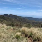
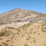
Old Man from a distance, photo by Sharon Moore
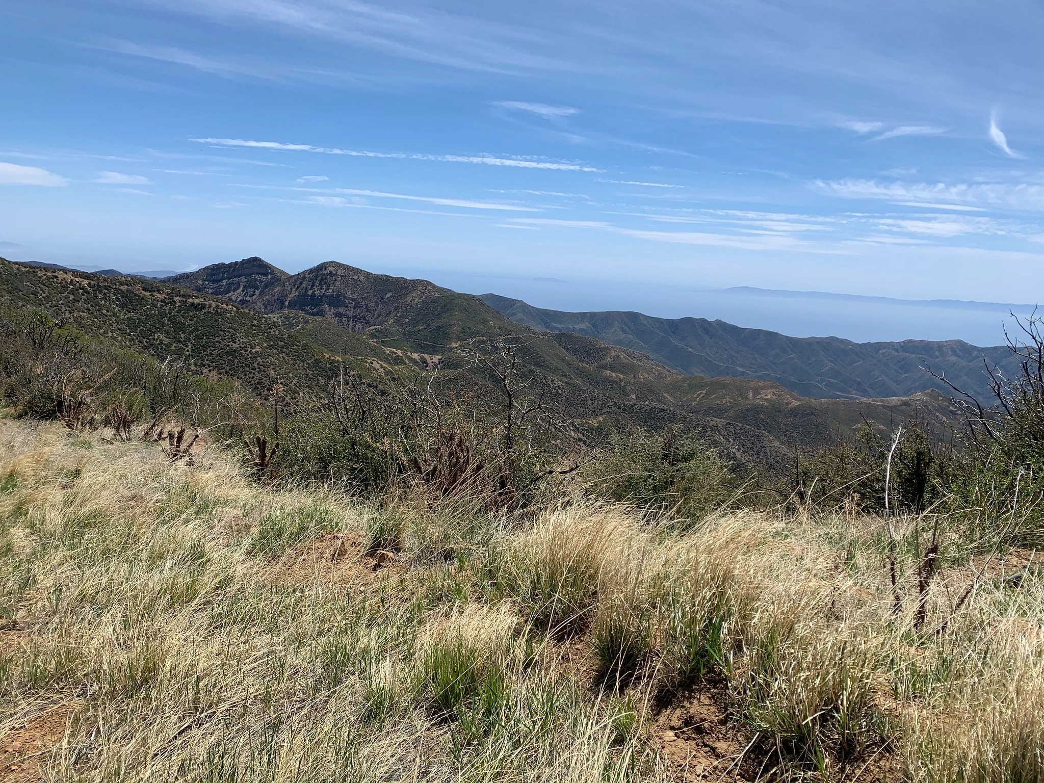
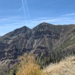
Old Man, taken from the trail, photo by Sharon Moore
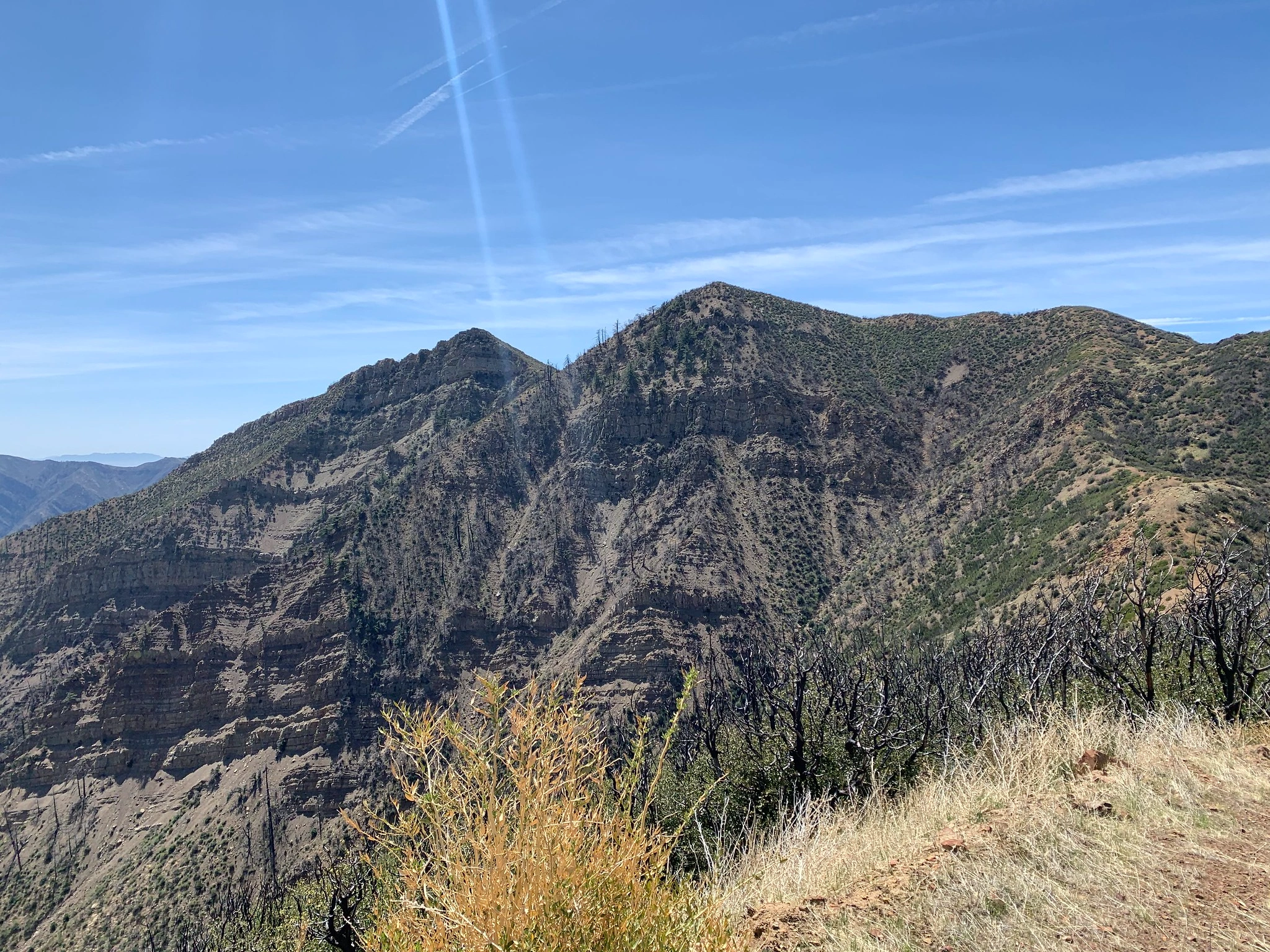
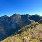
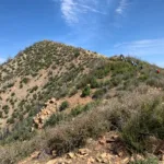
Old Man Mountain, photo by Sunny Yi
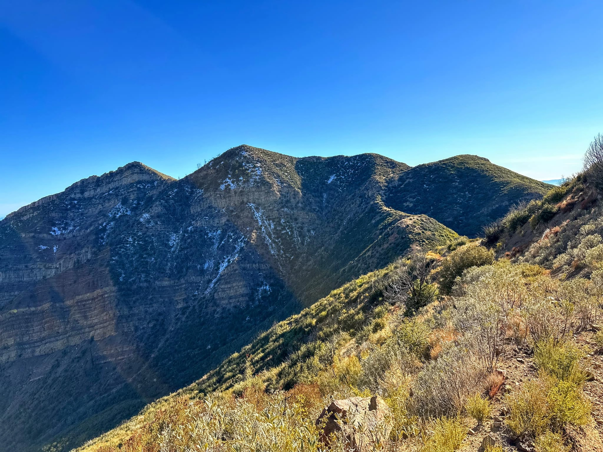
Old Man Mountain, photo by Steve Russell
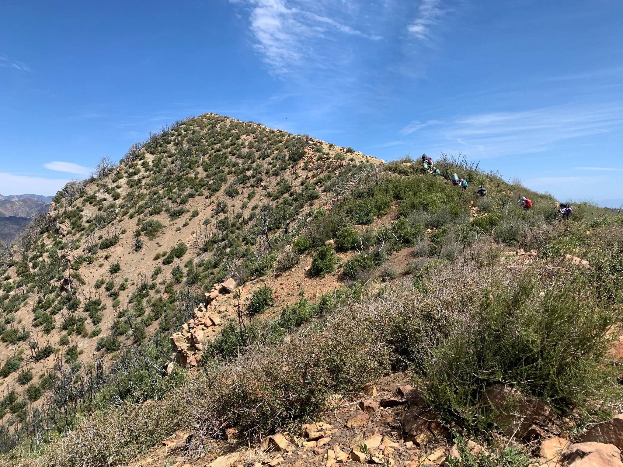
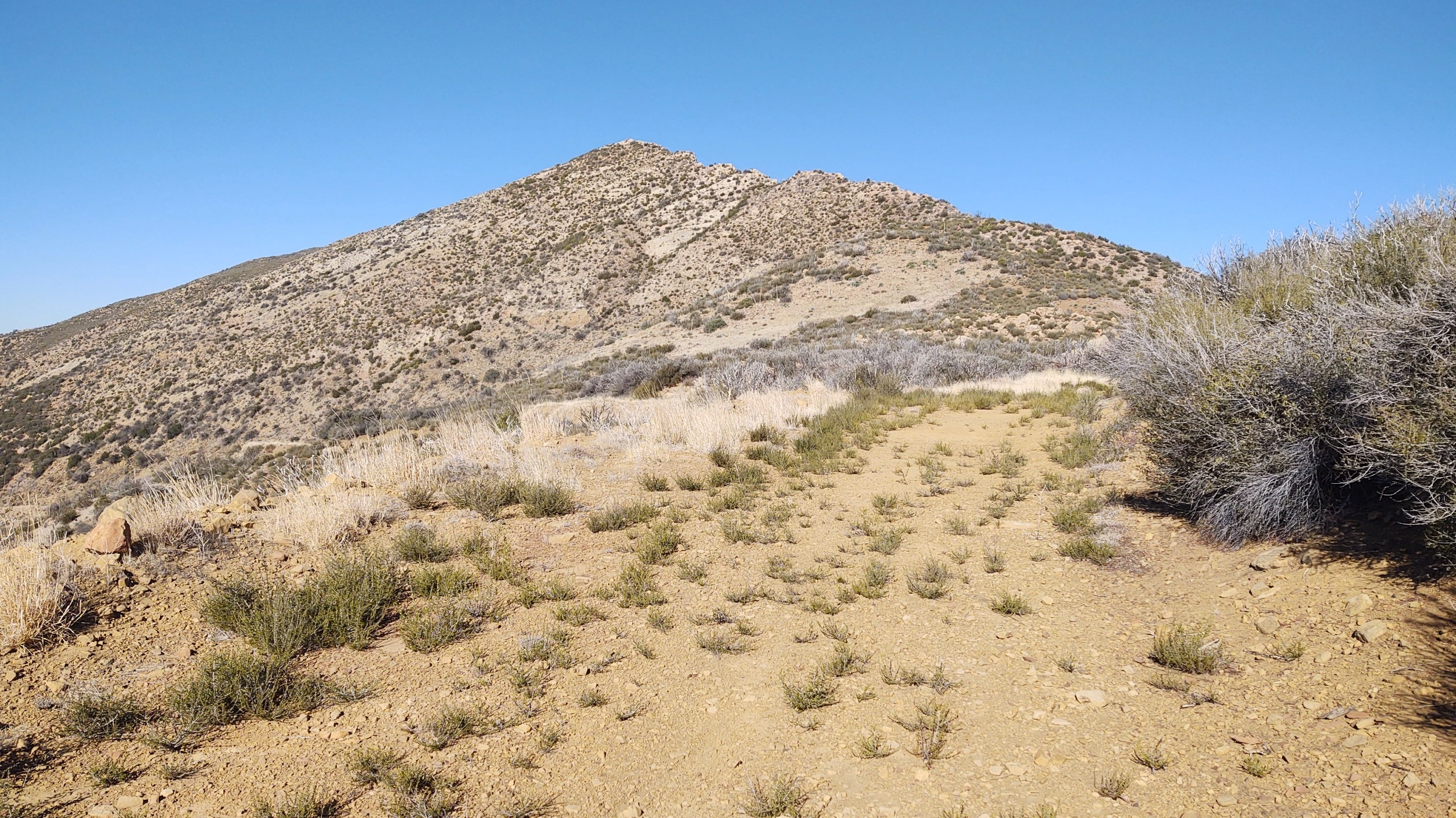
Old Man summit, photo by Sharon Moore


Peakbagger.com

Nearest ranger station

NOAA Forecast

Google Earth


