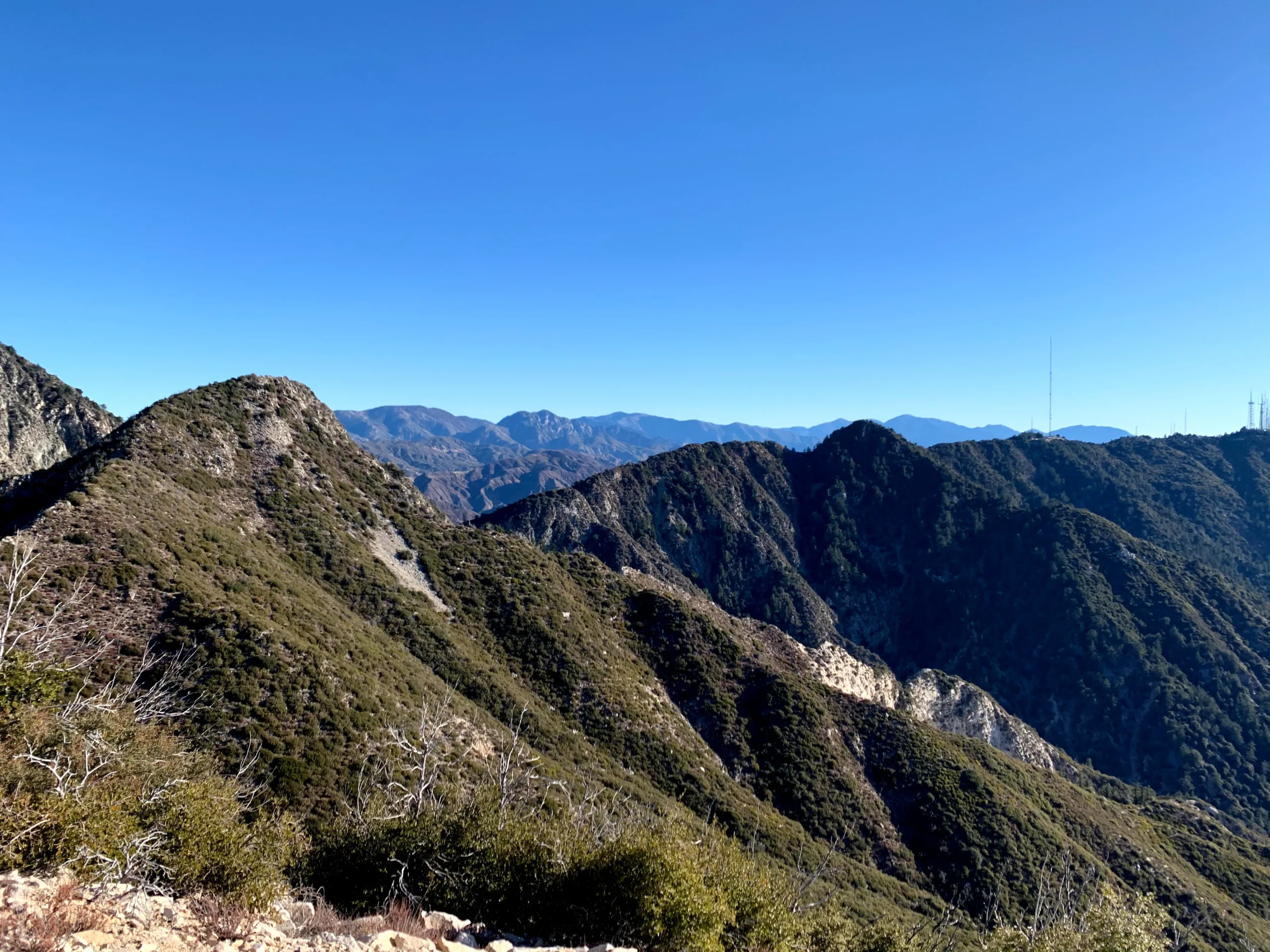
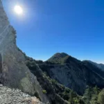
Occidental Peak, taken from Lowe, photo by Chris Waldheim
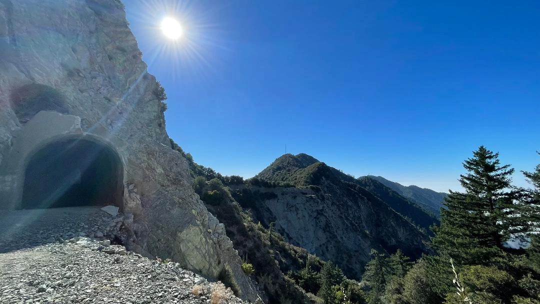
Occidental Peak, taken from Mount Lowe Road, photo by Chris Waldheim
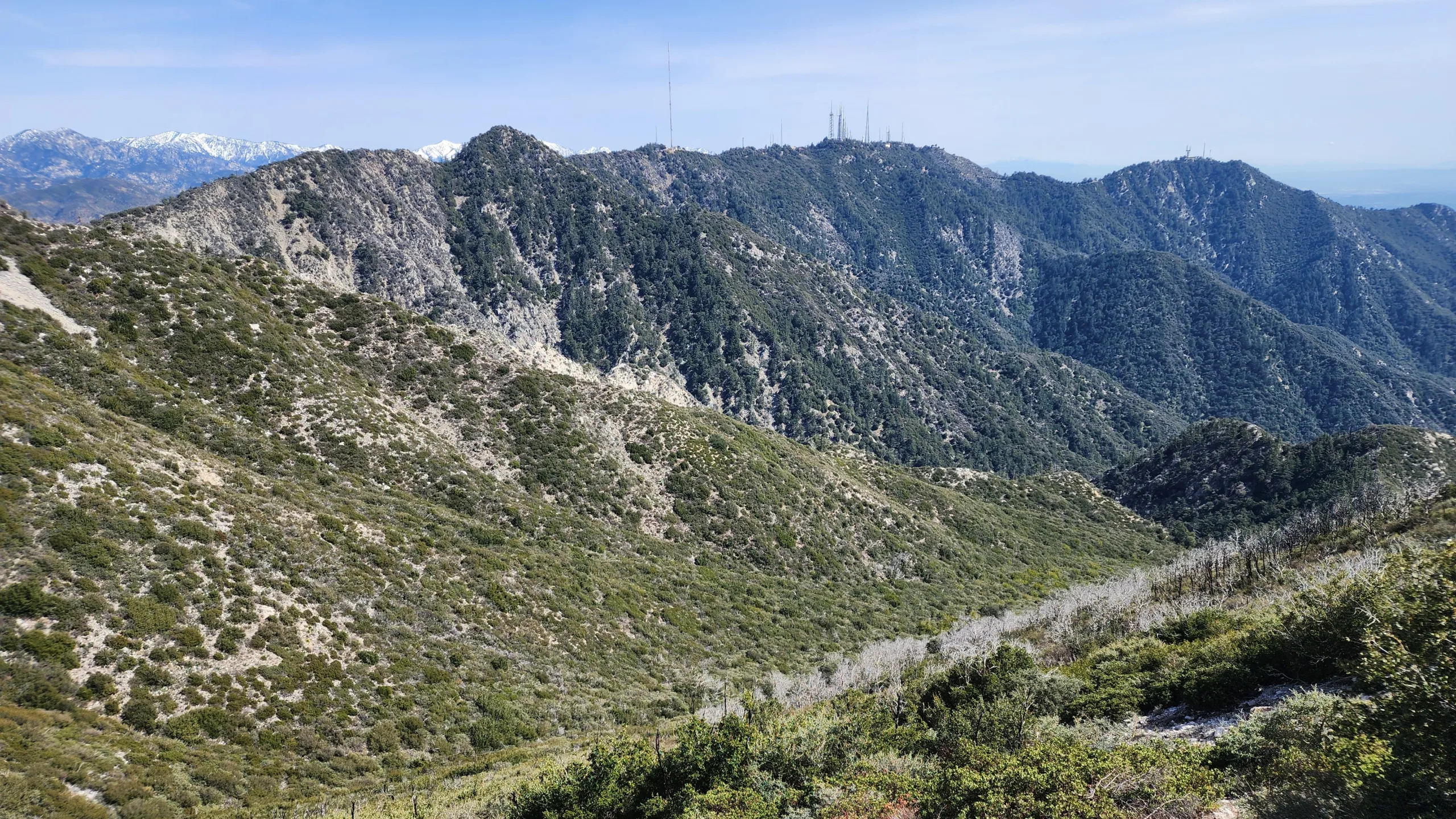
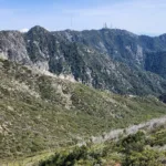
Occidental Peak, taken from the Mount LoweTrail, photo by Chris Waldheim


Peakbagger.com

Nearest ranger station

NOAA Forecast

Google Earth


