Peak Name
Elevation
feet
Status
Region
Range
Nearby peaks
Location
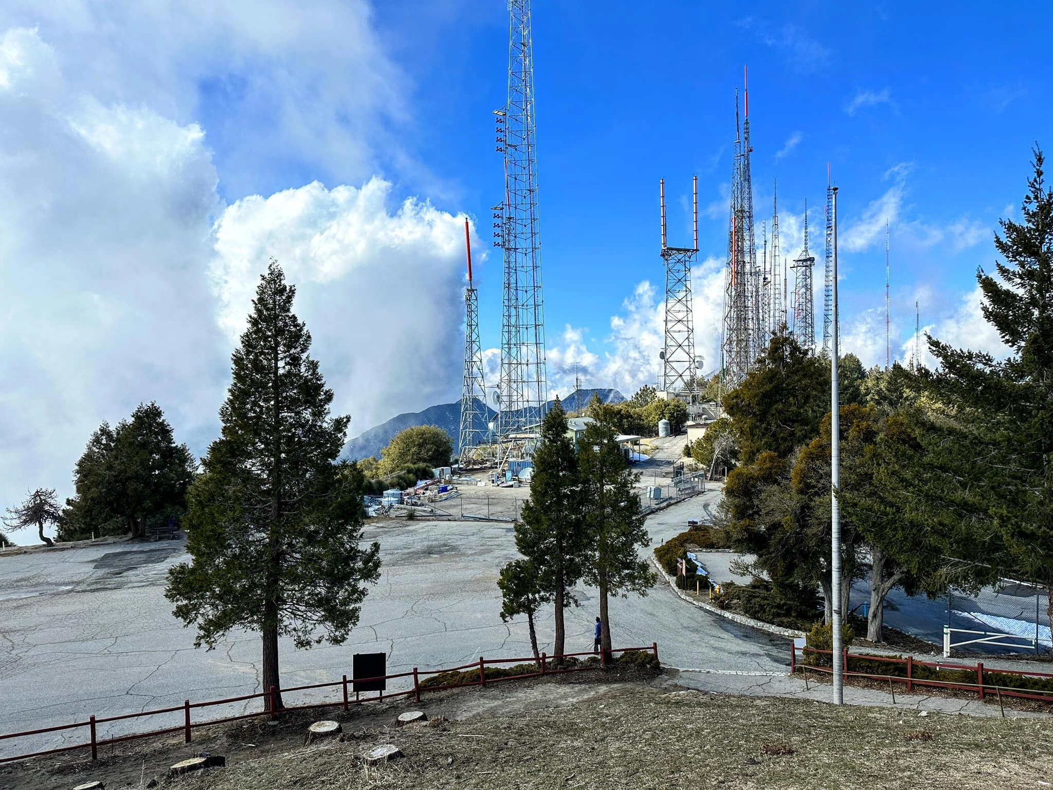
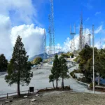
Mount Wilson occupies a place of renown in scientific history. The observatory, founded by George Ellery Hale in 1904, became the world’s foremost astronomical research facility. The 100-inch Hooker telescope, the most powerful in the world for decades, went into service in 1917. From this telescope Edwin Hubble discovered that there were galaxies beyond the Milky Way, developed the Big Bang model and measured the expansion of the universe, and Albert Michelson measured the speed of light. You can read more about the history of Mount Wilson at mtwilson.edu/history. Mount Wilson is still on the cutting edge of astronomy with its CHARA array, the domes and white towers that you can see on your hike up.
Hikers usually reach the summit then return, but there are many interesting things to do on Mount Wilson. The 60″ and 100″ telescopes are open for public visits, and there is an interesting museum and public events. At the summit there is a covered picnic area where you can use the restrooms, refill your water, and have lunch at the Cosmic Cafe on weekends.
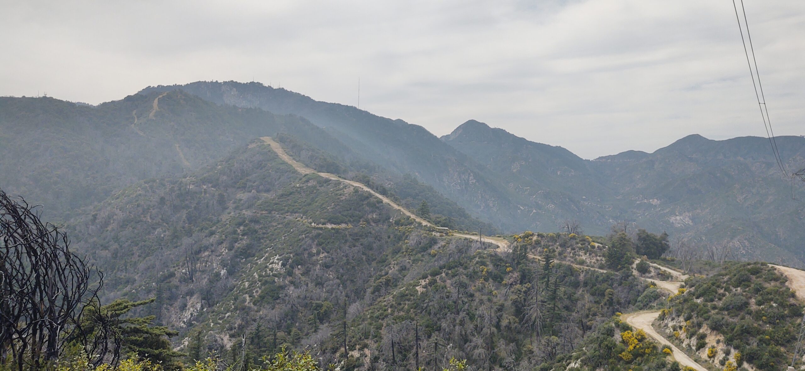
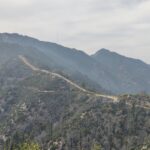
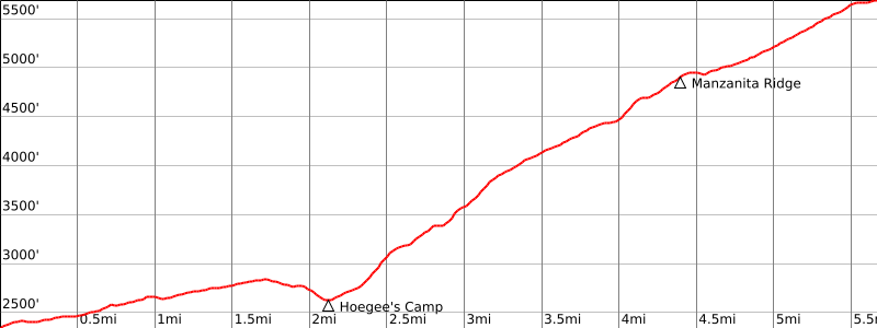
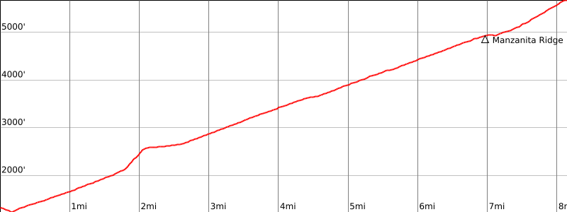
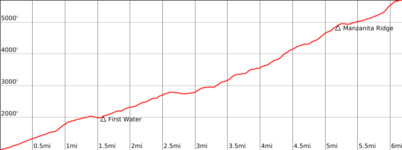
There are five official HPS routes and many other routes and route variations. Route 1 is a drive-up. Route 2 follows the Gabrieleno Trail from Chantry Flat; sights include Sturtevant Falls and historic Sturtevant Camp. Route 3, the Upper Winter Creek Trail also starts from Chantry Flat, passes Hoegees Camp and joins Route 2 at Sturtevant Camp. These routes are shady and scenic and there are numerous variations, including the Lower Winter Creek Trail (see the map). Route 4 is the Mount Wilson Toll Road, over which the mirror for the Hooker Telescope was gingerly transported to the summit. It is a gentler road walk. Route 5 is the classic and very popular Mount Wilson Trail that starts in Sierra Madre. This is the historic site of Lizzie’s Trail Inn that still exists as a small museum and is worthy of a visit. There are bathrooms at the trailhead. The trail ascends gradually and during most of its course ascends Santa Anita Canyon with marvelous views. At 1.7 miles a short use trail goes down to the stream, dubbed “First Water”. Routes 3 and 5 join at Manzanita Ridge, where you can rest on a bench overlooking the city and chat with other hikers. Some people stop here; it is a worthy destination in itself. The trail then joins the toll road for a walk to the summit. You can save some road walking by leaving the road 0.7 miles after Manzanita Ridge and climbing a use trail up the ridge to the HPS summit. On the map you will find several route variations and additional minor peaks (Jones Peak, Mount Zion, Hastings Peak and Mount Yale, named by angry Yale alumni after nearby Mount Harvard received its name).
Routes 2 and 3, the Gabrieleno and Winter Creek Trails and surrounding areas burned in the 2020 Bobcat Fire and remain closed as of June 2024. The Chantry Flat trailhead is also closed for construction. There is no projected reopening date.
Maps generated from CalTopo.com, reproduced with permission
Driving route
From the intersection of I-210 and Angeles Crest Highway (SR 2), drive north on Angeles Crest Highway 9.5 miles to Angeles Forest Highway. Keep straight.
Continue about 4.5 miles to the junction with the Mount Wilson Road at the Red Box Ranger Station. Turn right.
Drive about 5 miles to the Mt. Wilson Park. Park to the right of the entrance or enter the park itself (open weekends and holidays).
Hiking route
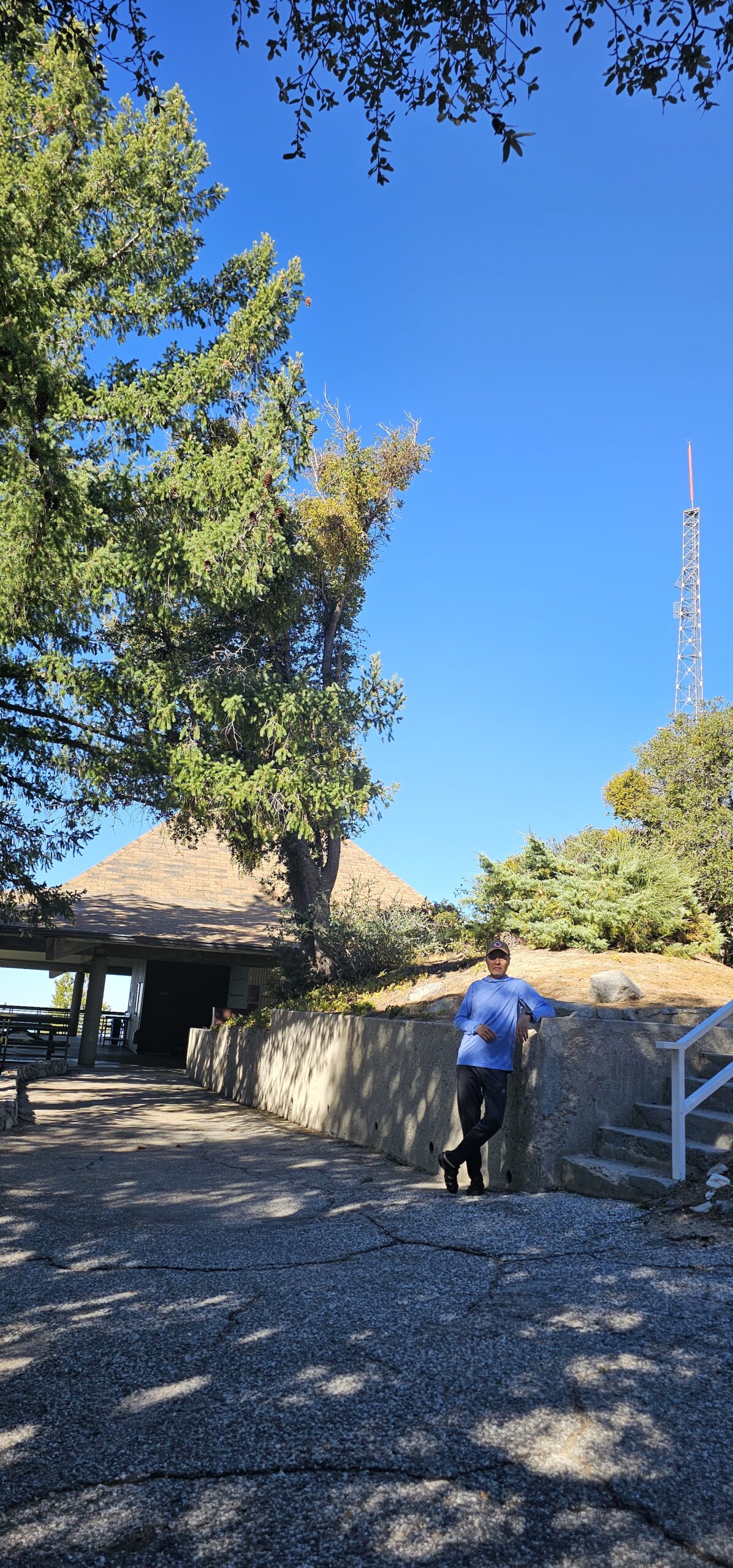
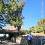
Walk to the highest accessible point outside the snack bar. While not the highest point on Mount Wilson, this is the point recognized as the summit by the HPS. The actual high point is within a secured area near a radio tower to the northwest. There is no public access to this point.
Driving route
From the intersection of I-210 and Santa Anita Avenue, drive north to the lower Chantry Flat parking area. Park here.
Hiking route
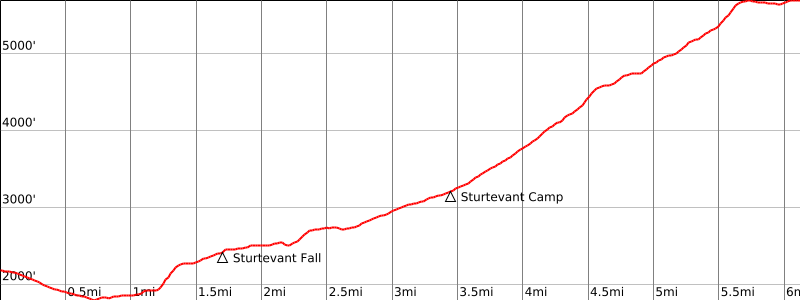
From the parking area, hike down the paved road past the gate to the canyon bottom (1800′). Where the stream crosses the road, turn right and cross the footbridge. At the far side the Lower Winter Creek Trail goes left, upstream.
Go straight ahead on what starts as a road but soon becomes a trail. After 3/4 mile there is a 3-way fork, marked “Gabrieleno Trail”.
Turn left on either of the two left forks. The right one of these two gives you a good view of Sturtevant Falls, but is narrow. The left one is for horse travel. They rejoin above the falls.
Continue on the trail about 3 miles through Spruce Grove Campground to a trail fork marked “Methodist Camp, Mt. Wilson – 3”. The right fork goes a short distance to Methodist-Sturtevant Camp.
Take the left fork, cross the stream, and continue up to the summit.
Route Notes
Driving route
From the intersection of I-210 and Santa Anita Avenue, drive north to the upper Chantry Flat parking area. Park here.
Hiking route
From the parking area (2400′-), follow the paved road past the gate (sign “Trail”) for about 1/2 mile to where the Upper Winter Creek Trail starts.
Follow this trail about 3 miles to where it meets the Lower Winter Creek Trail near Hoegee Campground.
Continue up the Winter Creek Trail about 2 miles farther to where it meets a trail coming up from Little Santa Anita Canyon. Continue another 1/2 mile to the Mt. Wilson Toll Road coming up from Henninger Flats.
Turn right and follow the road to saddle 5150′ between Mt. Wilson and Mt. Harvard. This location is known as Martin Camp. A trail (11W22) starts on the right side of the road at this saddle. Turn right and take the trail up to the parking lot in Mt. Wilson Park.
Driving route
From the eastbound I-210 in Pasadena, take the Hill Street exit; continue east (straight) on Corson Street 0.5 mile to Allen Avenue, and turn left onto Allen Avenue.
From the westbound I-210, in Pasadena take the Allen Avenue exit and turn right onto Allen Avenue.
Drive north on Allen Avenue 2.5 miles to Pinecrest Drive, just north of Altadena Drive, and turn right.
Go 1/2 mile to the start of the Mount Wilson Toll Road. Parking is not permitted here during the weekends and is limited to 2 hours on weekdays.
Continue to the next intersection where there is ample parking.
Hiking route
From the parking area (1320′), follow the dirt toll road down across a bridge and about 3 miles up to Henninger Flats (2600′).
Proceed through the camp, keeping right at junctions, and continue up the road to saddle 5150′ between Mount Wilson and Mount Harvard. Proceed as in Route 3
Route Notes
Driving route
From the intersection of I-210 and Baldwin Avenue in Sierra Madre, drive north on Baldwin to Mira Monte Avenue. Turn right (east).
Go 2 blocks more to the start of the Mount Wilson Trail. Park here.
Hiking route
From the parking area (970′), hike north up the road 150 yards to the first bend (east).
Turn left onto a trail that rejoins the road in 1/4 mile past a road gate.
Continue up the road that becomes a trail, passing Orchard Camp (2880′) and on to Manzanita Ridge Trail (4460′).
Turn left (west) and go up the ridge to the Mt. Wilson Toll Road.
Turn right and follow the road up to saddle 5150′ between Mount Wilson and Mount Harvard.
Proceed as in Route 3.
Additional Peak Information
Alternate routes: There are other routes that can be used to get to Mount Wilson. There are more trails used to climb this peak than any other peak in the San Gabriel Mountains.
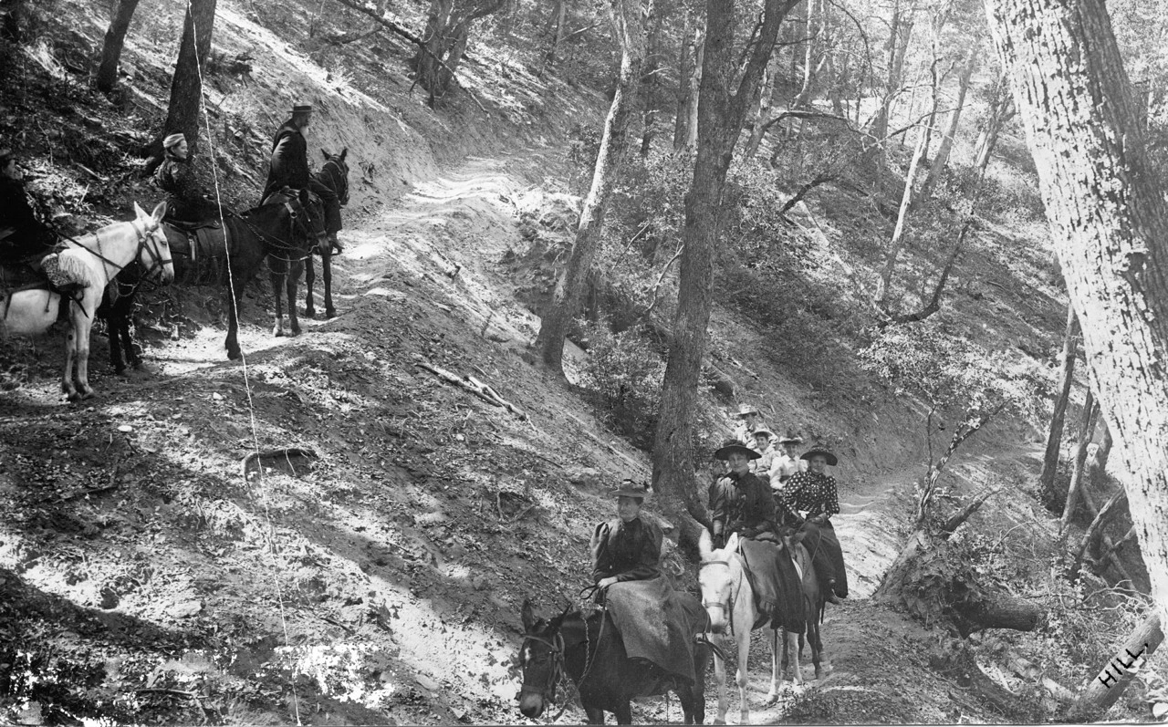
Historical notes: Mount Wilson was named after Benjamin (Don Benito) Wilson, who built a burro trail up the mountain in 1864. Wilson was one of the best known of the American settlers in Southern California, and was the first Mayor of Los Angeles under U.S. rule.
Because of the clear air, level land, and close proximity to civilization, the summit of Mount Wilson was an ideal spot to build an astronomical observatory. The summit has been used for this purpose since the 1890’s. The 100-inch telescope, installed more than a half century ago, was in continuous use until recently.
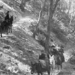
Route 5 is the oldest (1864) trail to Mt. Wilson and was originally a wagon road used for hauling logs down to Sierra Madre. It was also used to haul parts of the first telescope up to Mt. Harvard. (The telescope was later relocated to Mt. Wilson.)
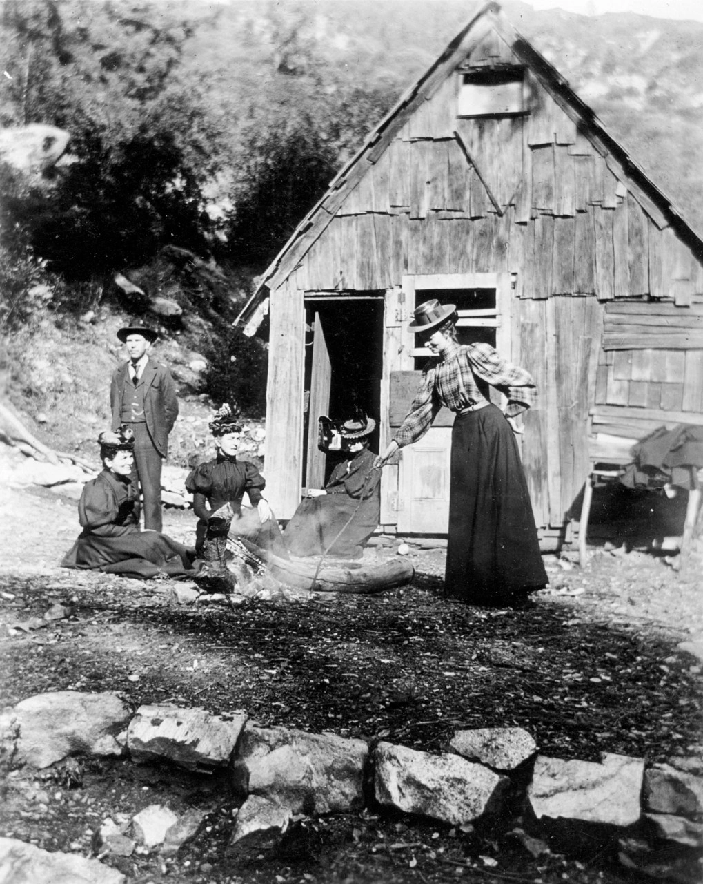
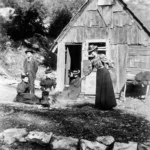
In the late 19th century, a group climbed to the top of Mount Wilson with the intent of being the first white men to climb this prominent peak. When they arrived they found a crude cabin, presumably built by outlaws of the time.
The old telescopes are open for public viewing and there is a museum with iteresting exhibits about the complex.


You must be logged in to upload images.