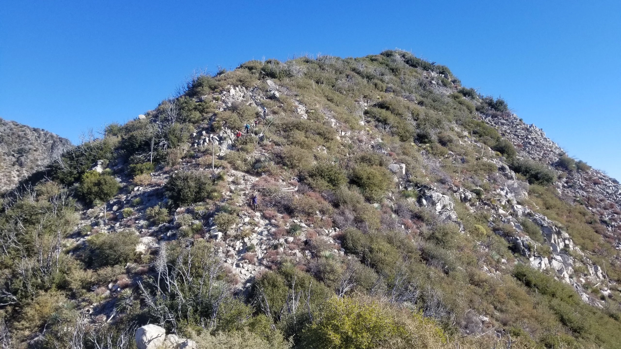
Mount Markham, final ridge, photo by Chris Waldheim
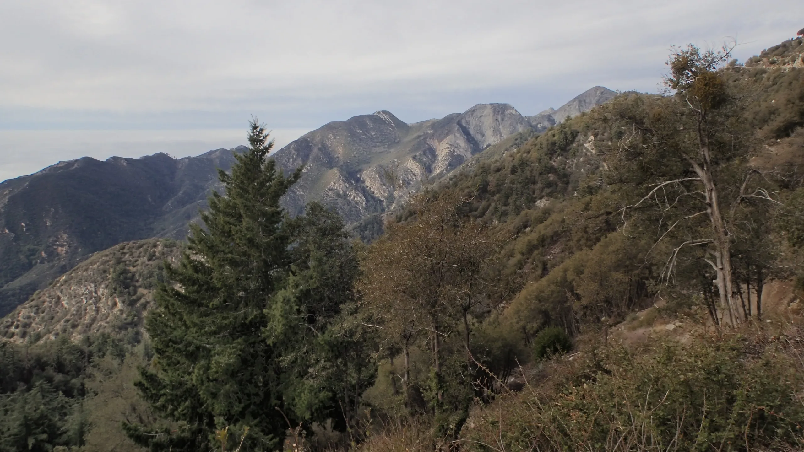
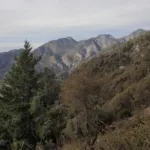
Mount Disappointment, San Gabriel, Markham, taken from Mount Lowe, photo by Michael Sallwasser
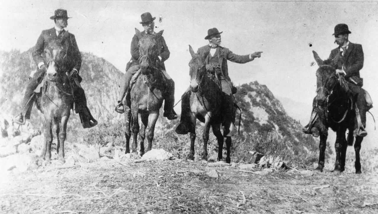
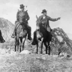
1893 Photo on Top of Mount Lowe, California Governor H.H. Markham on Left, Professor Thadeus S.C. Lowe Third From Left. Behind, Left San Gabriel Peak, Right Future Mount Markham, photo by Angeles Chapter Sierra Club Archives
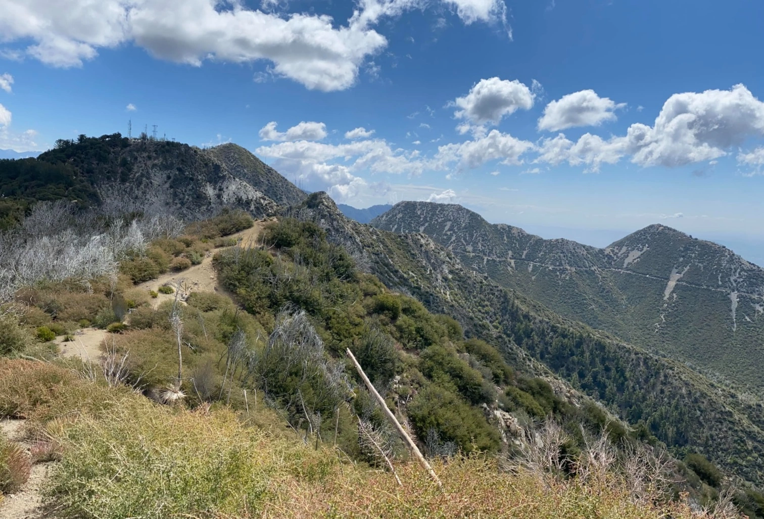
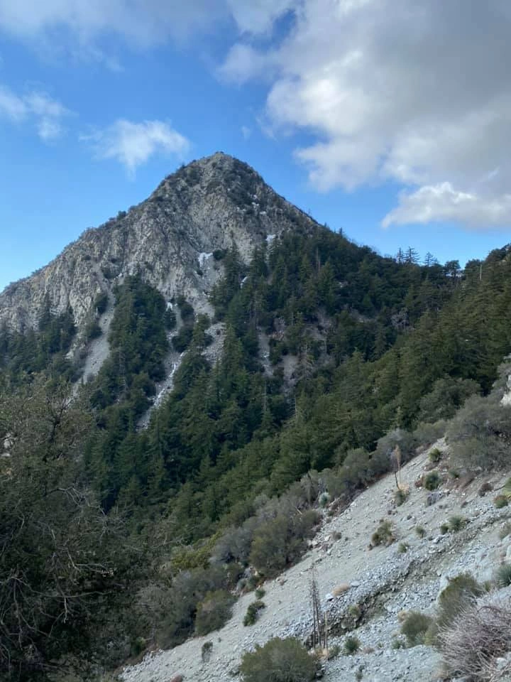
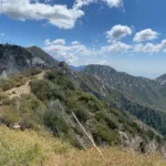
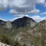
Mount Markham from Mount Lowe Trail, photo by Chris Waldheim
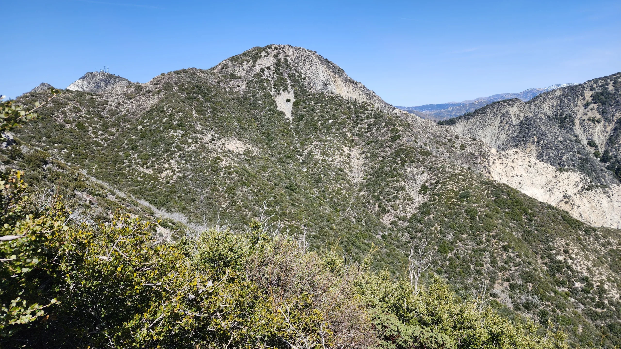
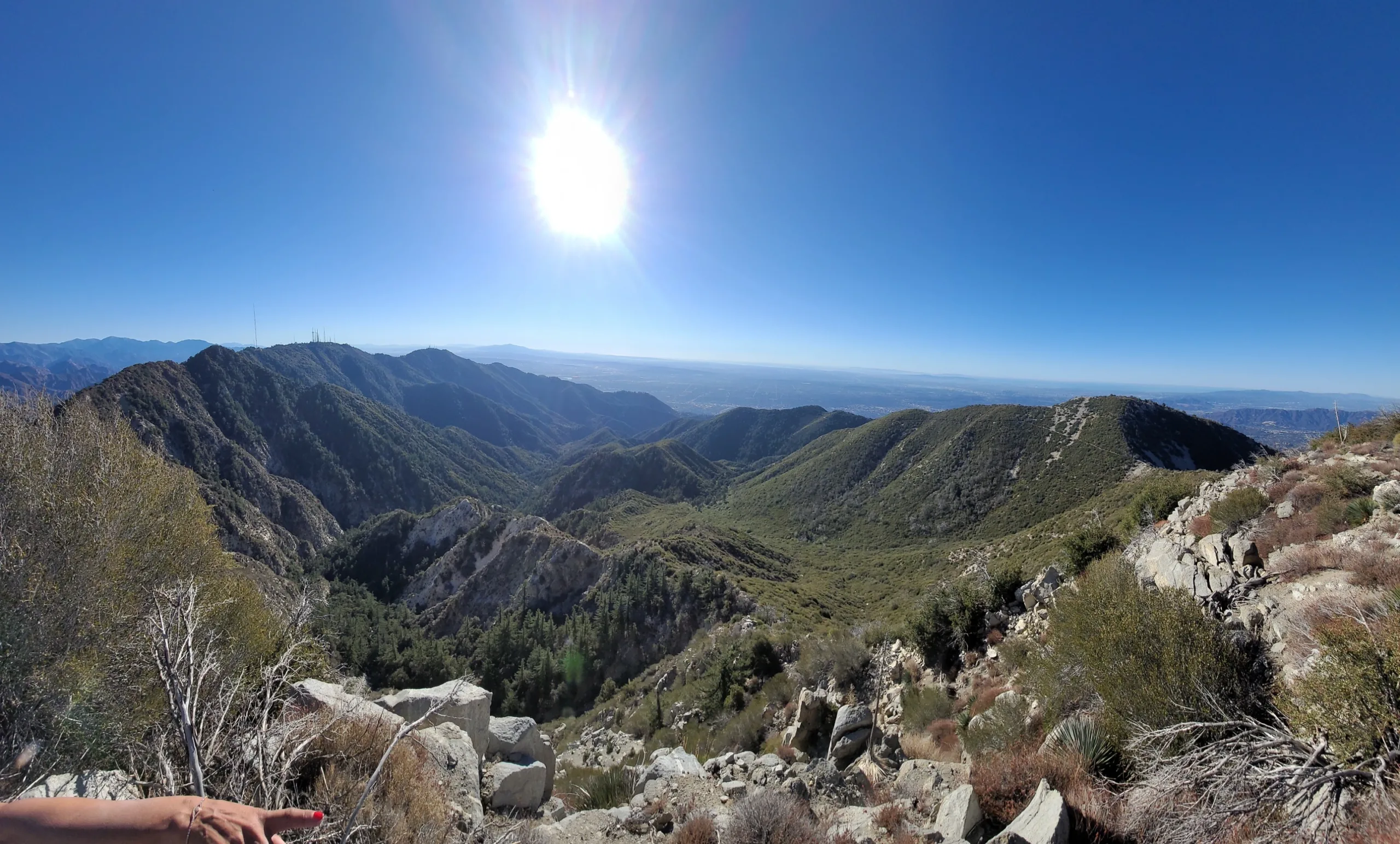
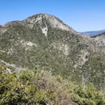
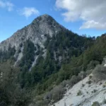
Mount Markham, taken from the Mount Wilson Trail, photo by Chris Waldheim
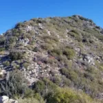
Mount Markham Summit, photo by Chris Waldheim
Mount Markham, photo by Michael Sallwasser

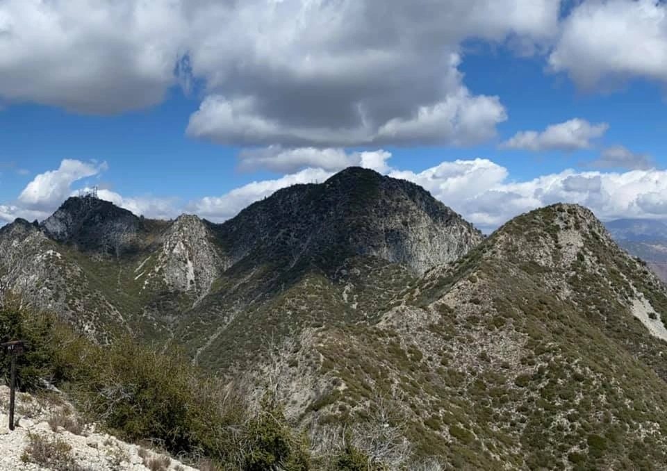
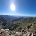
View from Deception, showing Mount Disappointment, San Gabriel Markham and Lowe, photo by Michael Sallwasser
Mount Disappointment, San Gabriel, Markham, taken from Mount Lowe, photo by Michael Sallwasser


Peakbagger.com

Nearest ranger station

NOAA Forecast

Google Earth


