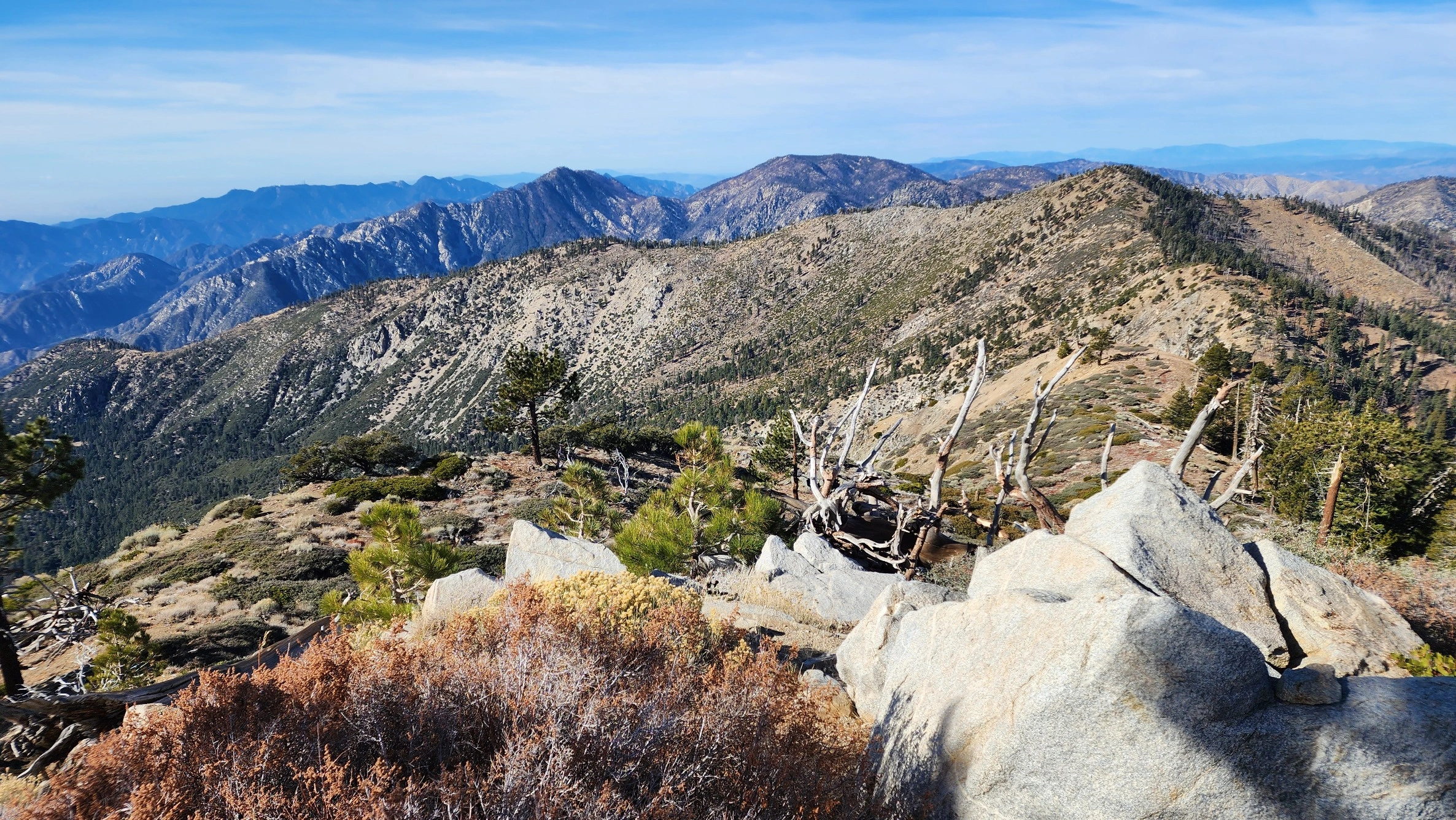
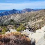
Islip, taken from the east, photo by Chris Waldheim
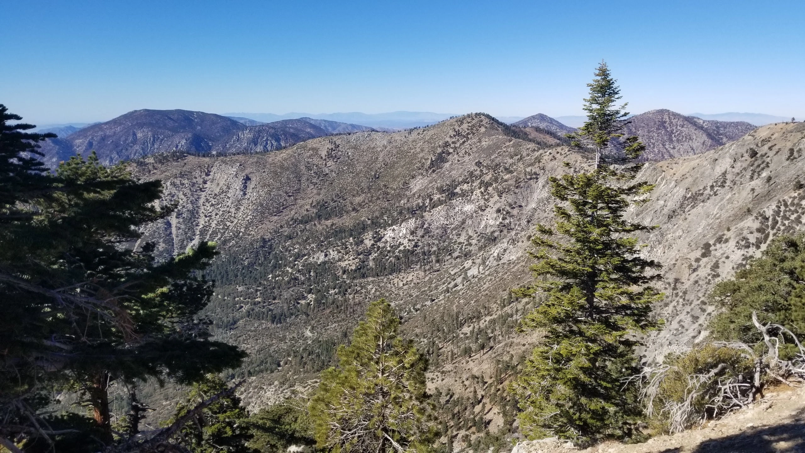
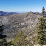
Islip, taken from the Hawkins Trail, photo by Chris Waldheim
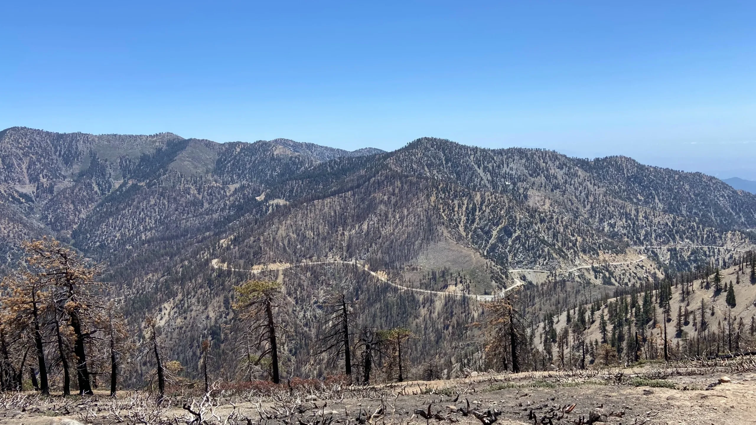
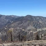
Mount Islip, taken from Mount Williamson, photo by Chris Waldheim
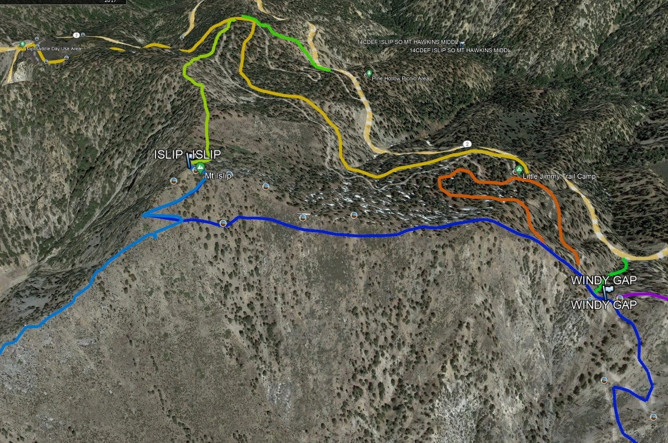
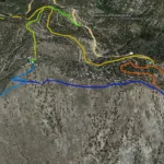
Mount Islip, photo by Google Earth
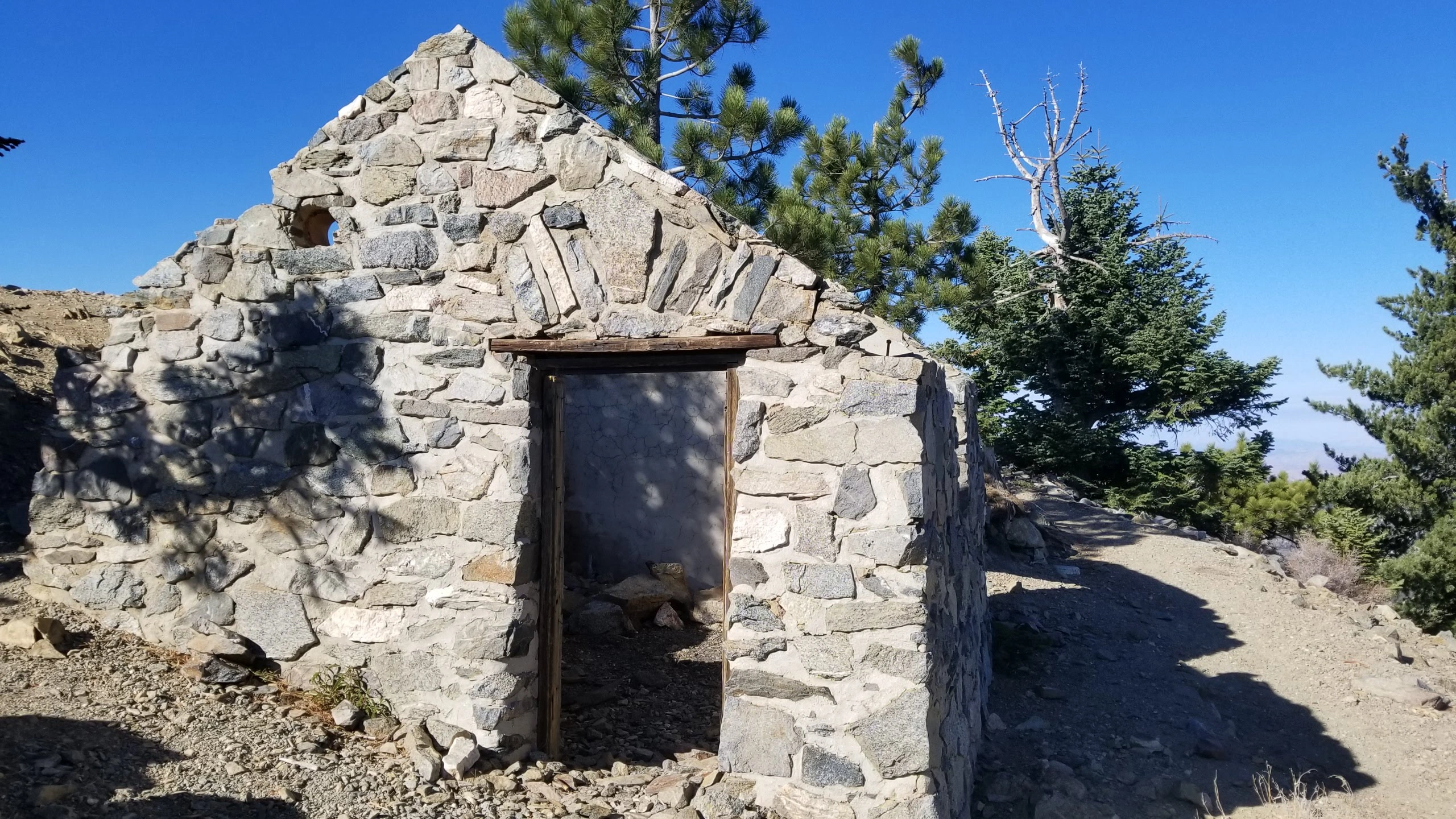
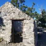
Rock Cabin on Mount Islip, photo by Chris Waldheim


Peakbagger.com

Nearest ranger station

NOAA Forecast

Google Earth


