Peak Name
Elevation
feet
Status
Region
Range
Nearby peaks
Location
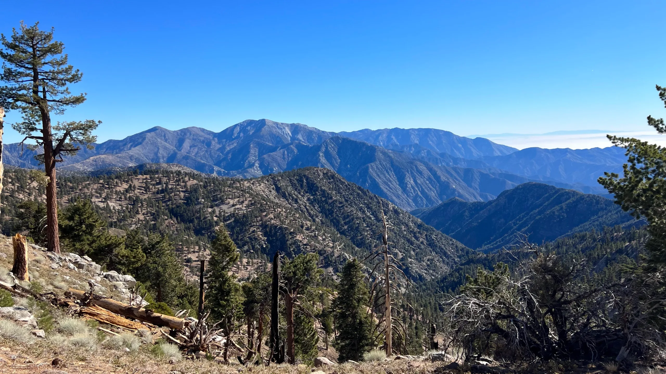
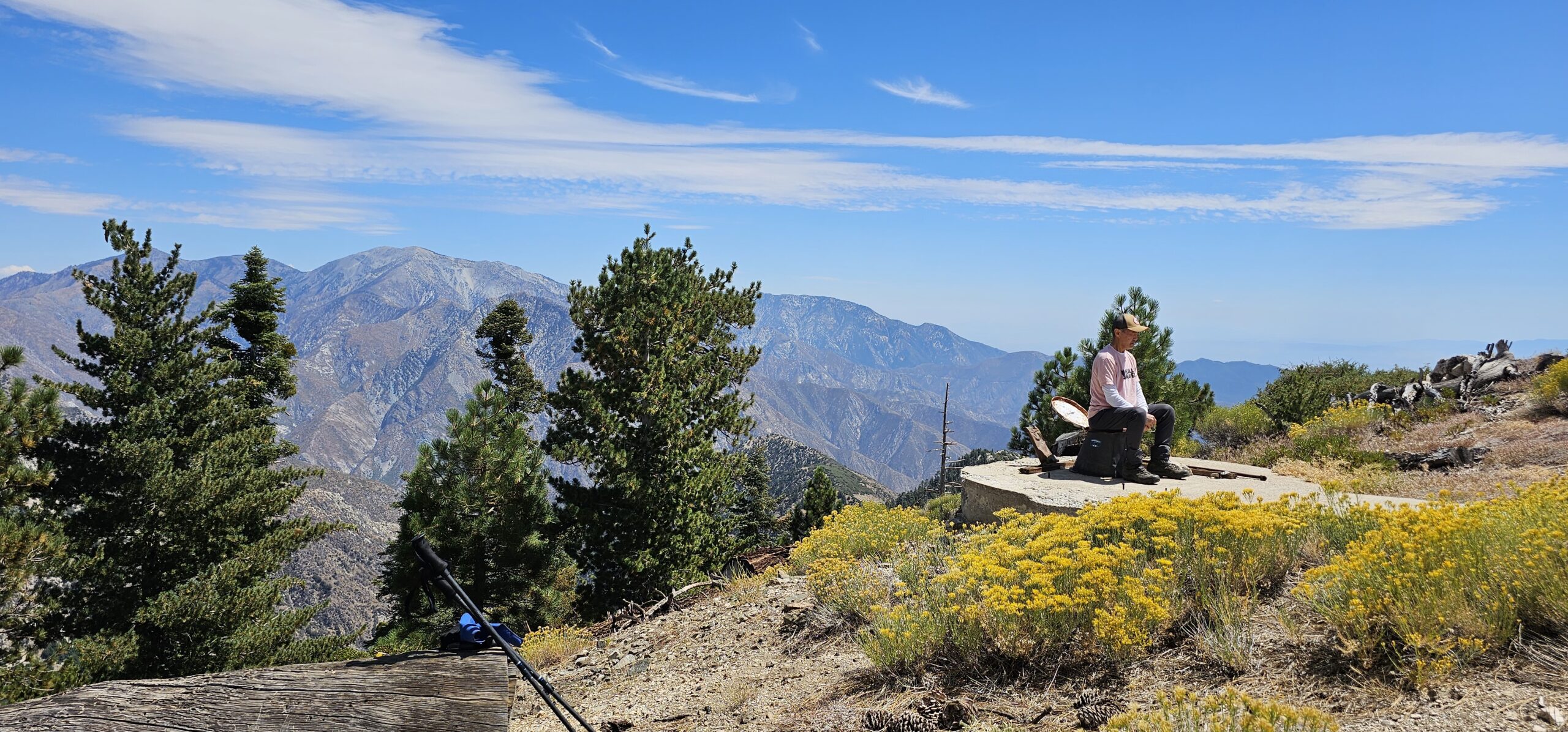
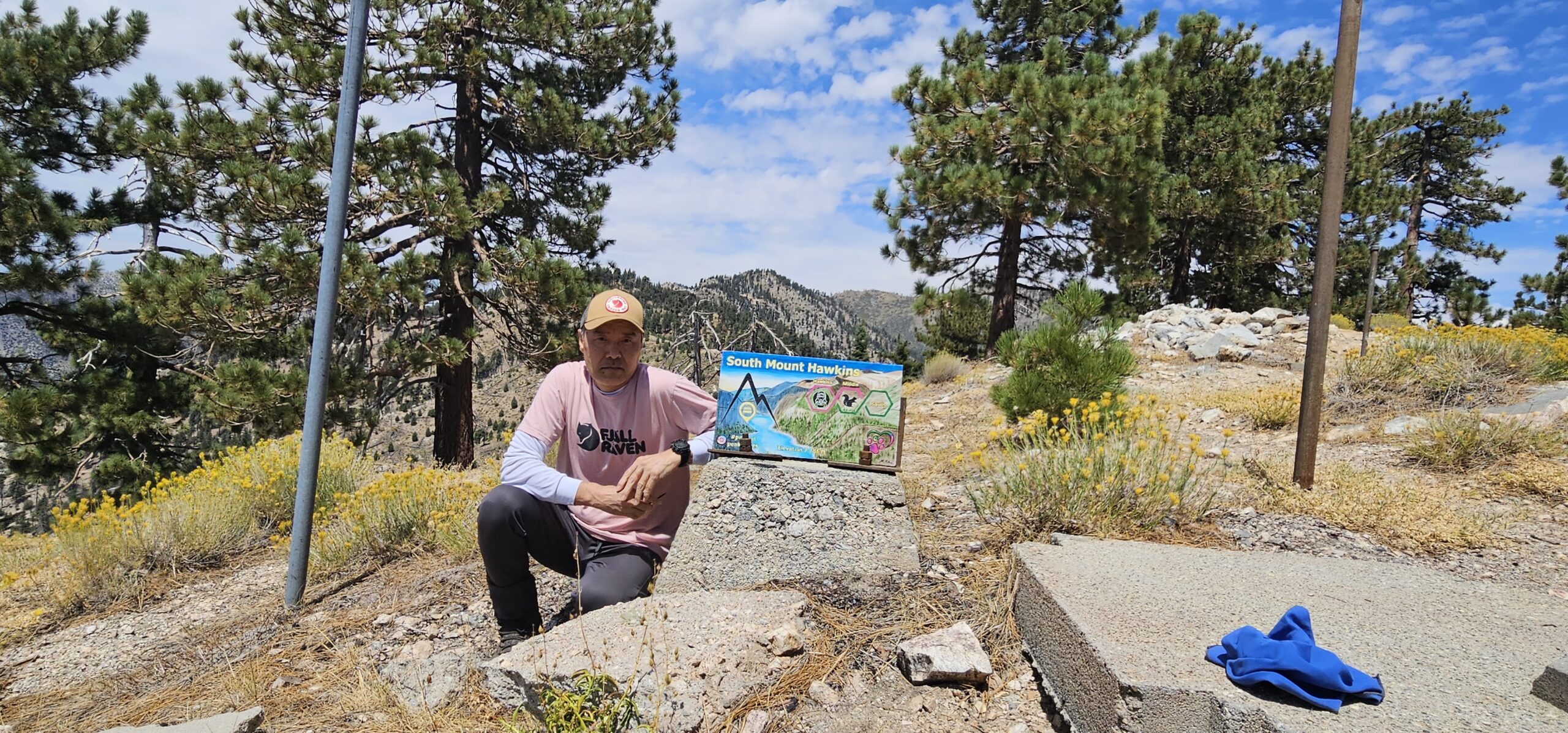
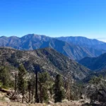
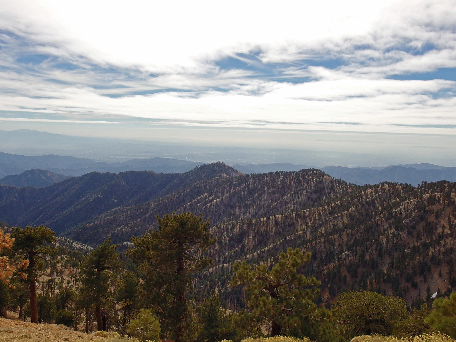
This is one of the several peaks named for Nellie Hawkins, a popular waitress at the now long-gone Squirrel Inn on the San Gabriel River who according to historian John Robinson, charmed and attracted miners, hunters, and campers. South Mount Hawkins offers amazing views of the encircling high country including Ross, Baldy, Iron, Rattlesnake, and the wild canyons in between. The 1930s fire lookout that once stood on the peak burnt in the 2002 Curve Fire, though the foundation remains.
Route 1 begins from the south at Crystal Lake. It is the shortest way to the top, using the very appropriately named Windy Gap Trail. Parking is easy and the trail is shaded until it reaches the dirt road. Route 2 is a longer approach from Islip Saddle from the north that makes it easier to add Middle Hawkins to your hike. This follows the PCT and you may see through hikers in April through June. Route 3, rarely hiked, starts from a gate on Highway 39 and follows first old overgrown road to Pigeon Ridge then on brushy firebreak to the peak. Many options exist to extend or loop this hike to the other Hawkins peaks as well as Mount Islip and Mount Baden Powell.
Maps generated from CalTopo.com, reproduced with permission
Driving route
From I-210 and San Gabriel Canyon Road (SR 39) go north on SR 39 to Crystal Lake.
Park in the day-use parking area near the trailhead to the Windy Gap Trail.
Hiking route
From the parking area (5800’+), hike up the Windy Gap Trail to where it crosses dirt road 3N07 the second time. There may be a sign “S Hawkins Road 3N07, Hawkins Lookout 5”. (This mileage is incorrect.)
Turn right and follow the road up to a saddle (7440’+) just north of the summit. This is the turnoff for Middle Hawkins.
Continue south on the road up to the summit. There was an old lookout tower on the summit.
Note: Entrance fee may be required for Crystal Lake area.
Driving route
From the intersection of I-210 and Angeles Crest Highway (SR 2) in La Canada, drive 41 miles east on the Angeles Crest Highway to Islip Saddle. Park in the lot on the left.
Hiking route
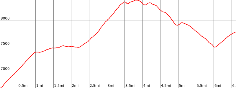
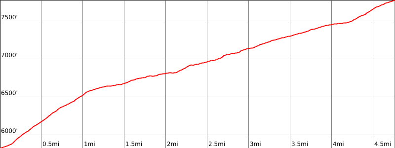
From the parking area (6670′), hike across the Angeles Crest Highway to the Pacific Crest Trail (PCT).
Hike 2.2 miles up the PCT to Little Jimmy Campground (7450′).
Continue east on the PCT for 0.4 mile to the Windy Gap trail junction (7600′).
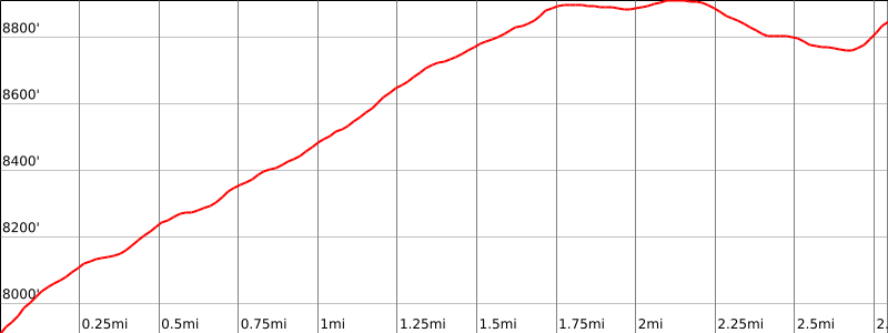
Continue east on the PCT for 1.6 miles to the Hawkins Ridge Trail (8400′).
Turn right (south) on the Hawkins Ridge Trail.
In about 0.2 mile, the trail goes to a saddle just north of bump 8505. This is the turnoff for Middle Hawkins.
Continue heading south on the trail 2.0 miles to dirt road 3N07, staying east of bump 8047. If you lose the trail in the meadow area, look south and you will see the dirt road. Head towards it.
Hike 0.6 mile up road 3N07 to the summit (7783′).
Route Notes
Driving route
From I-210 and SR-39 in Azusa, go north on SR-39 (Azusa Ave) for 17 miles. Park on the right by the 2N15 gate. Do not block gate.
Hiking route
From the parking area (2880′), hike south on 2N15 for about 1 mile to elevation 3200′.
Leave this dirt road on the left and follow the Pigeon Ridge firebreak for 3 miles until it ends at 6100′.
Pick your way up the slope in a northeast direction around vegetation until you reach about 7000′.
Turn left and proceed to the main ridge at 7100′.
At the main ridge, head northwest and proceed to the summit which is now only a lookout tower foundation.
Additional Peak Information
Peak combinations: This peak can be combined with Mount Hawkins, Middle Hawkins, and Mount Islip for a loop trip in both directions based on the Crystal Lake Road head. The loop would use the road to South Mount Hawkins, the trail between South Mount Hawkins and the Pacific Crest Trail (PCT) junction, the PCT between that junction and Windy Gap, and the Windy Gap trail between Windy Gap and the parking area in Crystal Lake Campground. This would be a strenuous trip.
Notes: The Lookout on the summit was lovingly restored and operated by volunteers. It was burnt down in the Curve Fire in September, 2002.


You must be logged in to upload images.