Mount Disappointment

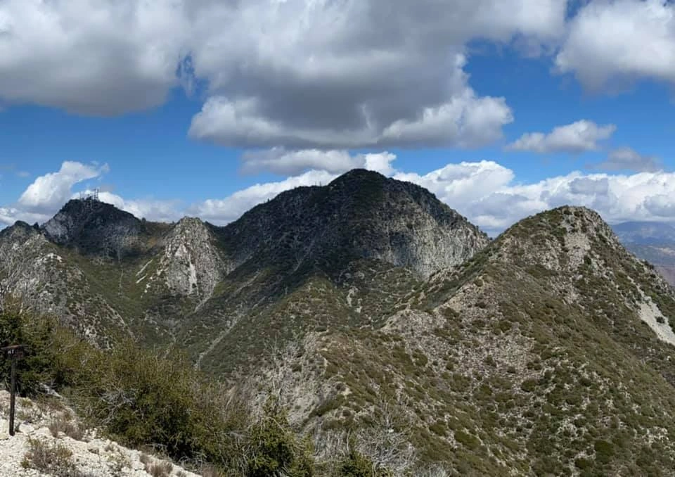
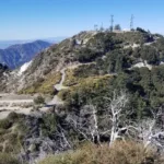
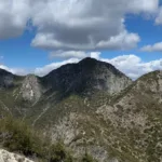
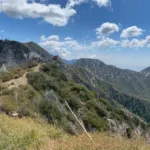
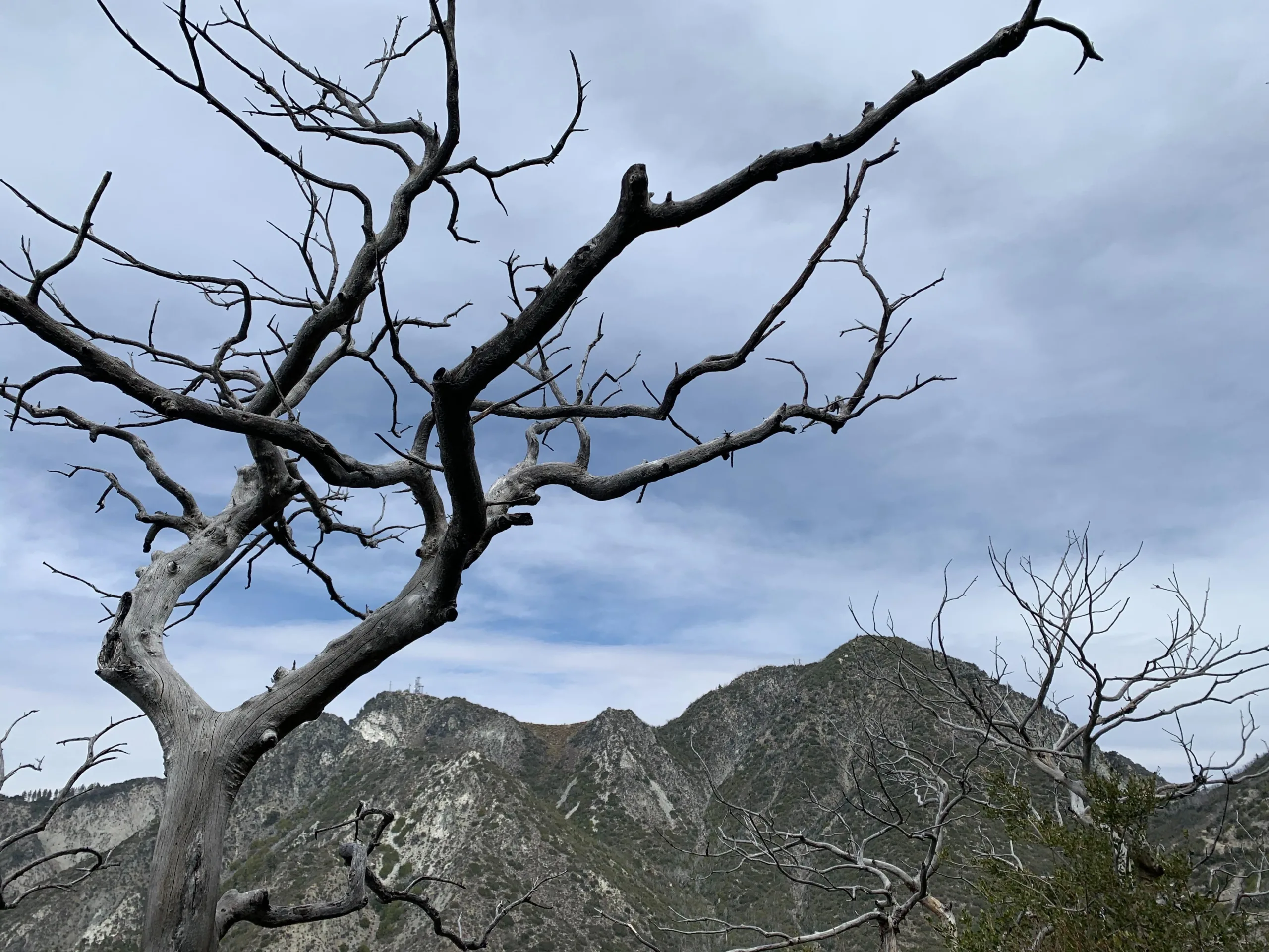
Mount Disappointment and San Gabriel Peak, Photo by Sharon Moore.

Peak Name

Mount Disappointment
12B

Elevation

5960

 feet

Status

active

Region

Mount Wilson Area

Range

San Gabriel Mountains

Location

34.2466697,-118.1047923

Description

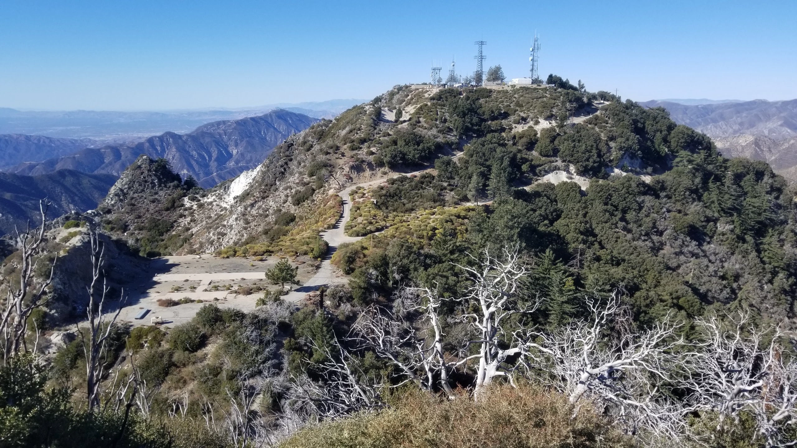
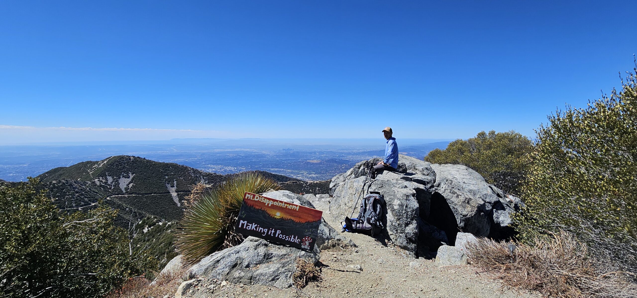
Mount Disappointment is found above and south of Red Box Picnic Area in the San Gabriel Mountains. Its name originates from the efforts of the famed Wheeler Survey, who chose it for their survey thinking it was the highest peak in the area but were “disappointed” to note an approximately 200-foot taller San Gabriel Peak to the east. More about its interesting history can be found in the summit history. Today it is a telecommunications site for government organizations with a large active helipad at the summit. Besides an interesting history, the peak offers excellent views of the L.A. Basin, the surrounding mountains (Santa Monicas, Hollywood Hills, Verdugos, Santa Susanas, and San Gabriels), the Channel Islands, and San Fernando Valley.

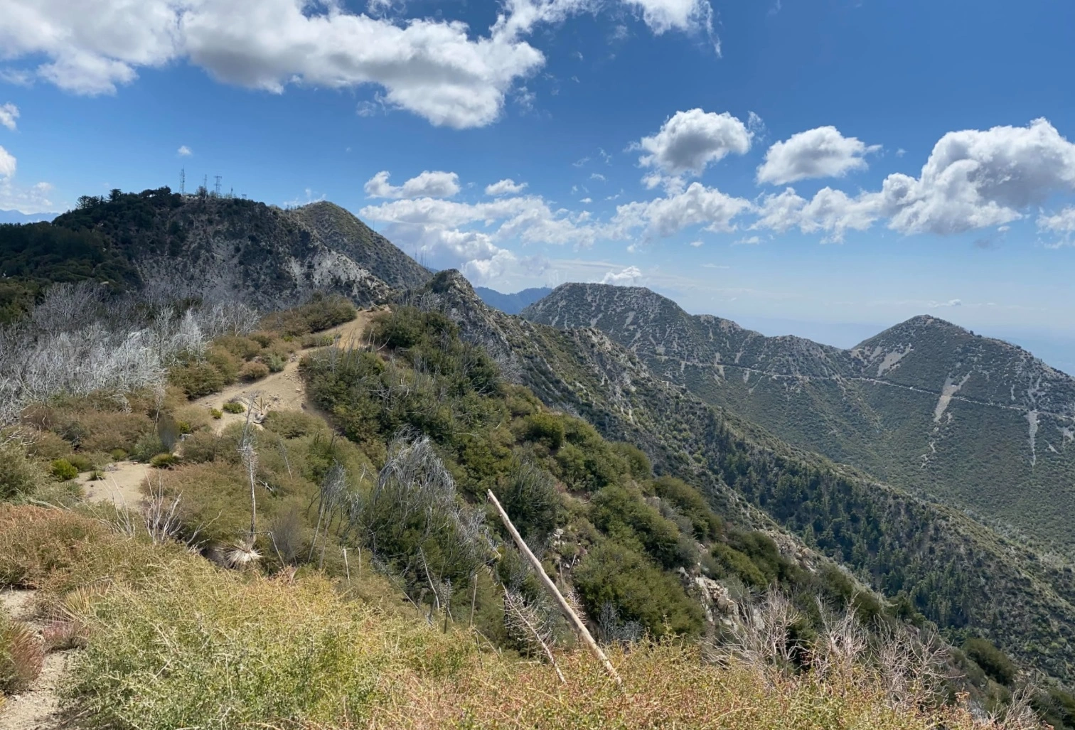
Route 1 starts from Red Box and follows the North San Gabriel Peak Trail, built in the 1980s and still maintained by the Jet Propulsion Laboratory Trailbuilders under the direction of engineer Bill Reilly, and is often called by that name. This trail cuts left up the ridge near where the 2N52 road starts and winds up a beautiful forested ridge to the intersection with the same road near the top. From there it is a short walk to the summit. Route 2 is an unexciting road walk that allows a detour to Mount Deception.

Maps generated from CalTopo.com, reproduced with permission

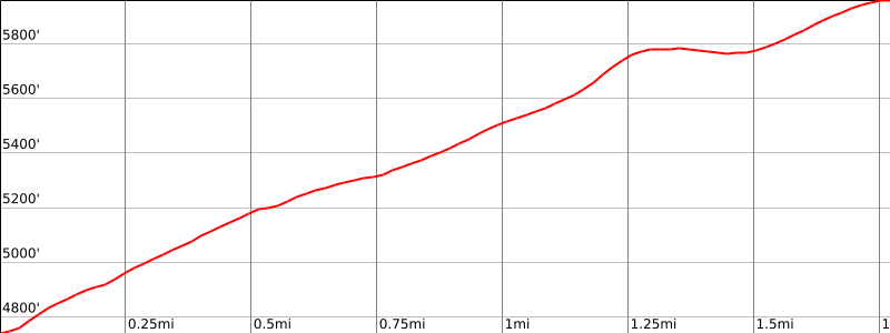
Route 1- North San Gabriel Peak Trail From Red Box
Elevation Gain
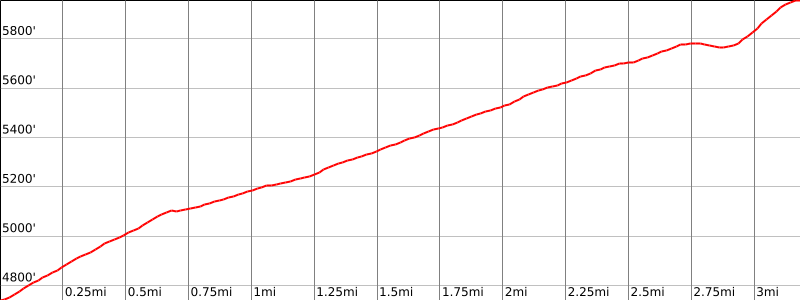
1200′
Navigation Difficulty
Easy
Distance
4 miles round trip on trail and road
Estimated time
2 hours round trip
Route Rating
Class 1, easy
Leader Rating Required
“O”, normal conditions

Driving route

From the intersection of I-210 and Angeles Crest Highway (SR 2), drive north on Angeles Crest Highway 9.5 miles to Angeles Forest Highway. Keep straight.
Continue about 4.5 miles to the junction with the Mount Wilson Road at the Red Box Ranger Station. Turn right.
Drive 0.4 mile to a paved road (2N52) on the right. Park here. Do not block the gate.

Hiking route

At the parking area (4760′), the San Gabriel Peak Trail starts just to the left of the gate. Hike up this trail to where it meets a paved road.
Turn left and follow the road to a road fork between San Gabriel Peak and Mount Disappointment (5800′-).
Turn right and follow the road up to the summit. The register is in a pile of rocks at the far end of a large concrete pad.

Route Notes

Road Type

Paved

Google Maps Link to Trailhead 

Route 2
Elevation Gain
1300′
Navigation Difficulty
Easy
Distance
6 miles round trip on paved road
Estimated time
2 1/2 hours round trip
Route Rating
Class 1, easy
Leader Rating Required
“O”, normal conditions

Driving route

Same as Route 1.

Hiking route

From the parking area (4760′), pass the gate and hike up 2N52 about 2 miles to saddle 5550′. This is the turnoff for Mount Deception.
Continue on 2N52 another 3/4 mile and 400′ gain to a road fork between San Gabriel Peak and Mount Disappointment (5800′-).
Turn right and follow the road up to the summit. The register is in a pile of rocks at the far end of a large concrete pad.

Route Notes

Road Type

Paved

Google Maps Link to Trailhead 

Additional Peak Information

Historical notes: In 1894, USGS surveyors working eastward sighted this peak from Santa Susana Mountain, west of the San Fernando Valley. It appeared to be the highest point in the immediate area (perhaps it was more peaked, and blocked the view of San Gabriel Peak in those days), so they planned to use its peak at their next triangulation point. Upon reaching the summit, they were “disappointed” to find San Gabriel Peak, 1/2 mile further east, to be 167′ higher, so they continued on to it to set up their instruments. In 1955, the summit was flattened for a Nike missile station. 10 years later the missile site was abandoned, though military communications still use the peak.

Nearby Peaks

Backus Peak
Owens Peak
Black Mountain #5
Morris Peak

External Links

mountain 1

Peakbagger.com

Click Here

ranger-tower 1

Nearest ranger station

Click Here

g311

NOAA Forecast

Click Here

worldwide 1

Google Earth

Click Here

Photo Gallery