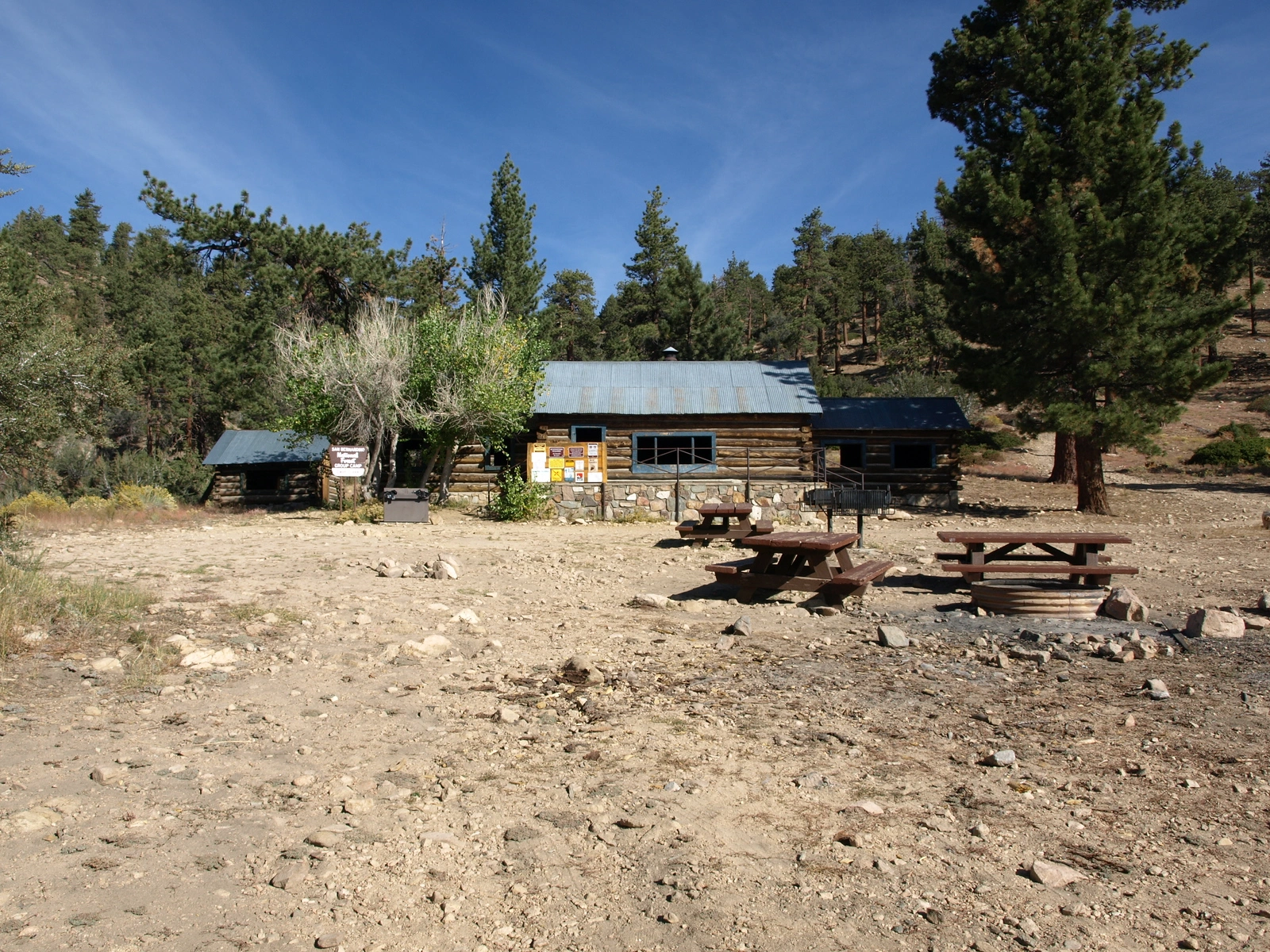
Coon Creek Cabin, photo by Kathy Wing
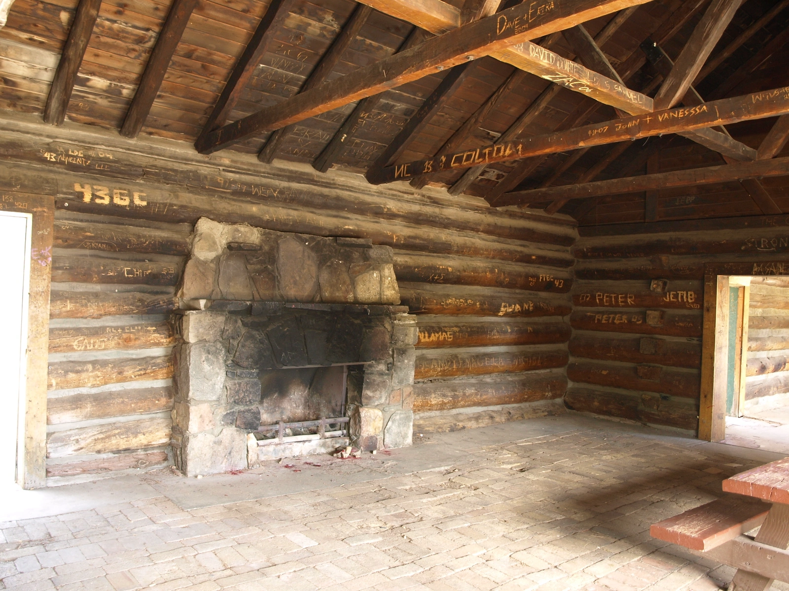
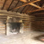
Coon Creek Cabin Inside, photo by Kathy Wing
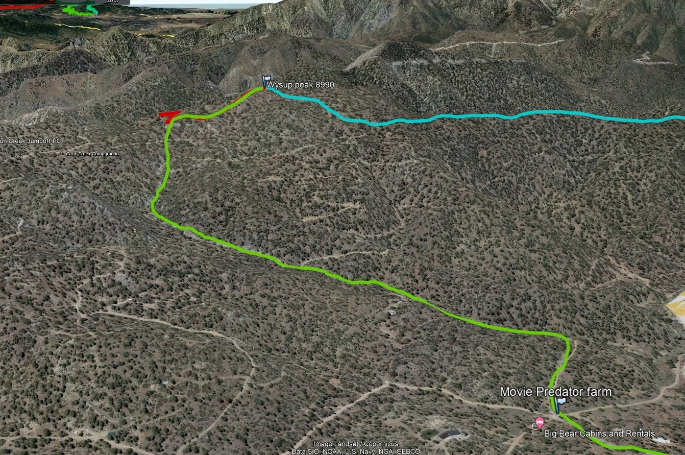
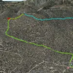
Wysup Peak, photo by Google Earth


Peakbagger.com

Nearest ranger station

NOAA Forecast

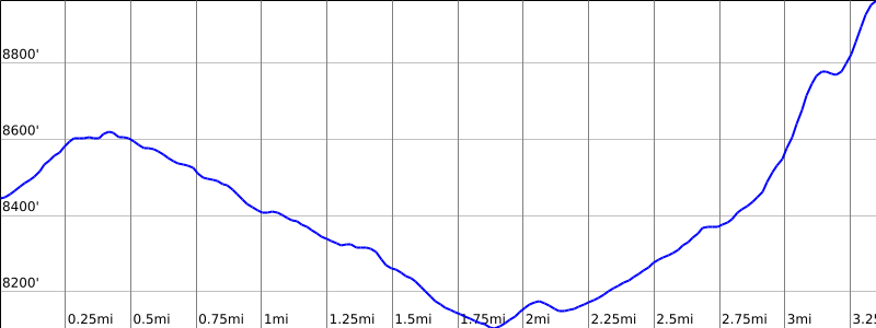
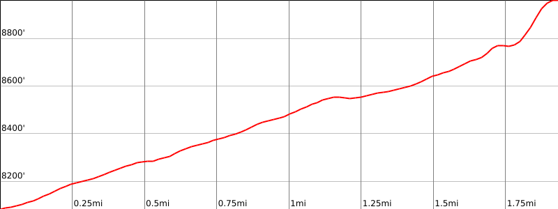
Google Earth


