Timber Mountain

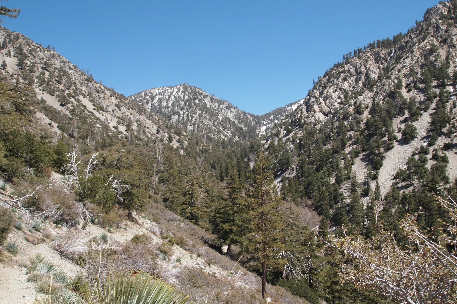
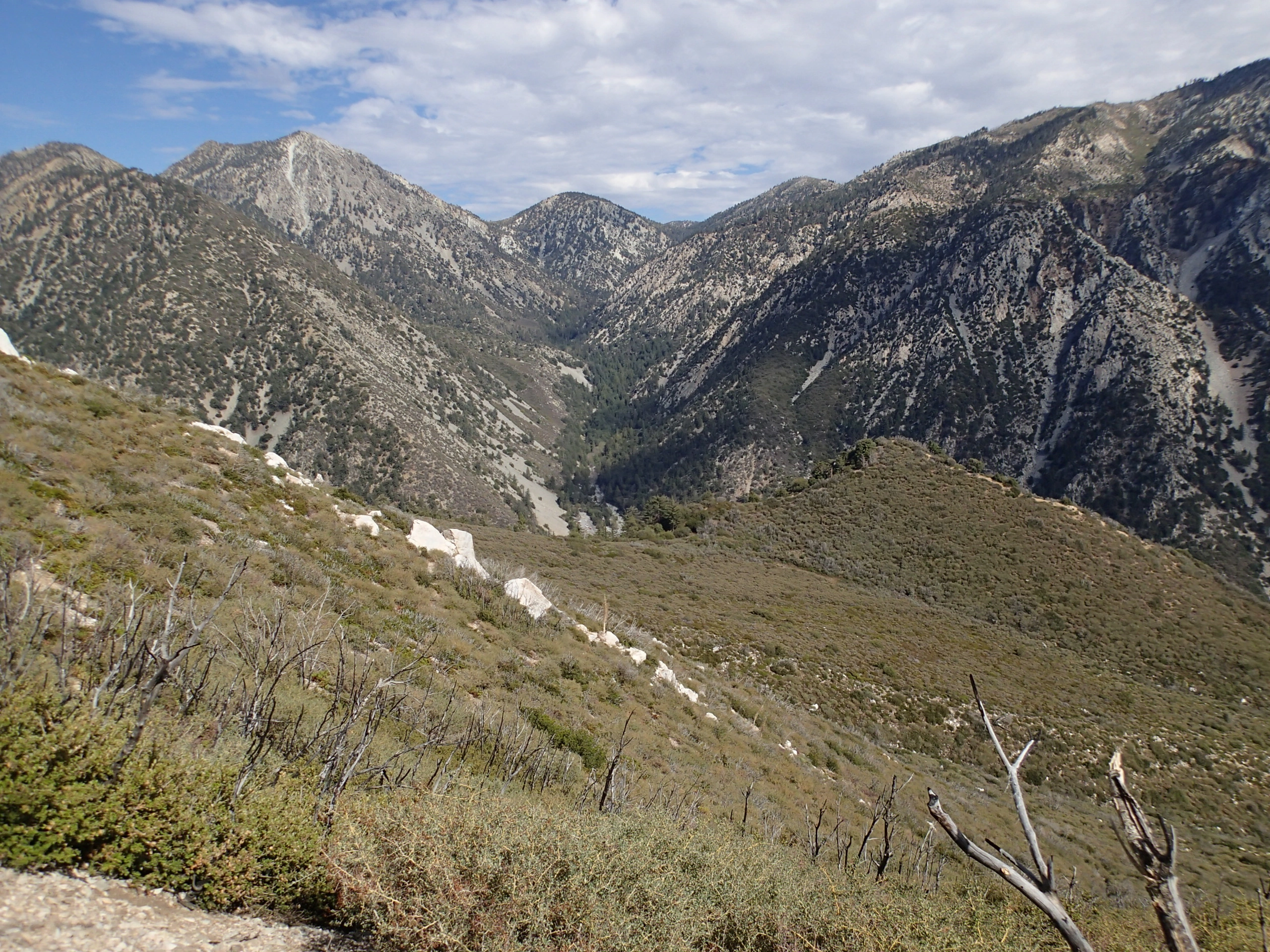
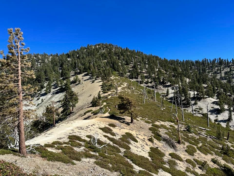
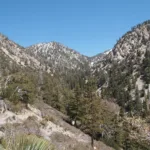
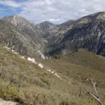
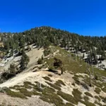
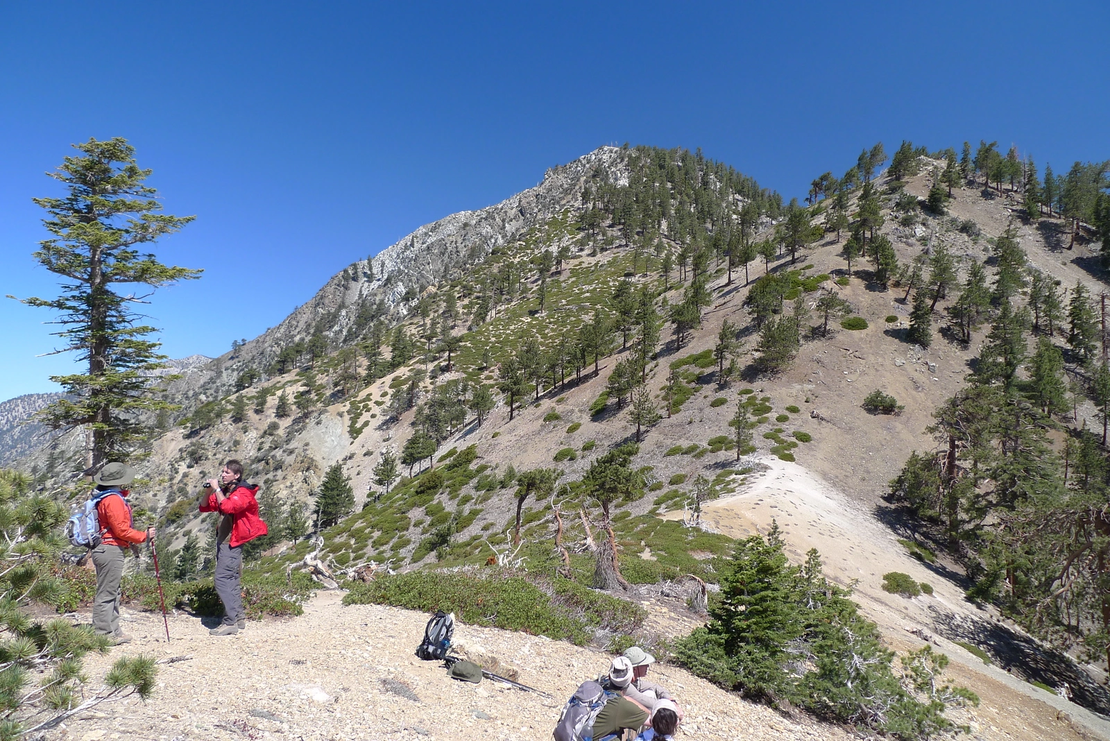
Timber Mountain and Telegraph, taken from Icehouse Saddle, Photo by Kathy Wing.

Peak Name

Timber Mountain
17D

Elevation

8303

 feet

Status

active

Region

Cucamonga Peak Area

Range

San Gabriel Mountains

Location

34.245006,-117.5931091

Description

Timber Mountain is aptly named for its tree covered slopes as opposed to its barren neighbor to the north, Mount Baldy. Timber Mountain, along with Thunder Mountain and Telegraph Peak, is one of the famous Three T’s, a car shuttle hike that every hiking aficionado wants to complete. Timber is the second highest of the three peaks and is typically done first or third depending on the direction. This peak delivers some beautiful views if you walk north a bit from the primary area chosen as the top. Timber can also be an add-on peak to any hike that takes you past Icehouse Saddle.

Route 1 describes the most common counter-clockwise approach to the Three T’s or the most direct route to hike just Timber Mountain. This hike alone will encourage you to explore to the next T on your next hike. Route 2 describes the clockwise version of the Three T’s hike. You will pass from Baldy Notch over Thunder Mountain and down a trail on the south side of Thunder to then climb back up the west side of Telegraph. Then you continue on to Timber and down the Icehouse Canyon Trail to your second car. Doing the full Three T’s hike requires leaving one car at the Icehouse Canyon Trailhead and then driving a second car to the ski area parking lot to hike the clockwise Three T’s. Please read the directions under Thunder and Timber for more information.

Maps generated from CalTopo.com, reproduced with permission

Route 1- From Icehouse Canyon
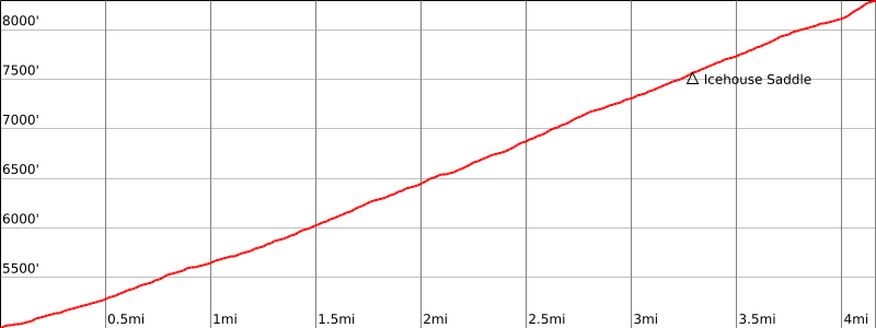
Elevation Gain
3300′
Navigation Difficulty
Easy
Distance
10 miles round trip on trail
Estimated time
5-6 hours round trip
Route Rating
Class 1, moderate
Leader Rating Required
“O”, normal conditions

Driving route

Take the 210 freeway east to Baseline Road exit in the City of Claremont. Turn left (west) at the bottom of the off-ramp onto Baseline Road.
Almost immediately, take the first right (north) onto Padua Ave.
Go 1.8 miles north on Padua to the intersection with Mount Baldy Rd. Turn right (northeast).
Take this road northeast and then north about seven miles to Mt. Baldy Village.
Continue another two and a half miles (through Baldy Village) to a fork at Icehouse Canyon. Turn right.
Go a short distance to a parking lot. Park here.

Hiking route

From the parking area (5000′), trail 7W07 starts just to the right of an old building foundation. Hike up this trail about 3/4 mile to a trail junction with the Chapman Trail.
Continue straight up the canyon past Columbine Spring to another junction with the Chapman Trail.
Turn right and follow the trail up to Icehouse Saddle. It is also possible to take the Chapman Trail. It adds about 1 1/2 miles the hike to Icehouse Saddle. There are a number of trails at the saddle.
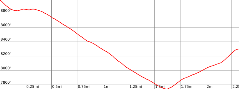
Take the first one to the left and follow it about a mile to where it crosses a ridge on the west side of Timber Mountain.
Leave the trail (there may be a duck) and hike east up the ridge to the summit.

Route Notes

Printable Route

Road Type

Paved

Google Maps Link to Trailhead 

Route 2- From Telegraph Peak
Elevation Gain
1500′ total, 500′ out plus 1000′ on return
Navigation Difficulty
Easy
Distance
3 miles round trip from Telegraph Peak
Estimated time
1 1/2-2 hours round trip
Route Rating
Class 1, strenuous with Telegraph Peak
Leader Rating Required
“O”, normal conditions

Driving route

See the Telegraph Peak guide.

Hiking route

See the Telegraph Peak guide.
From the summit of Telegraph Peak, follow the trail back to the trail junction.
Turn left and follow this trail into a saddle north-northwest of Timber Mountain. Continue along the trail to the top of the ridge west of the summit.
Leave the trail, there may be a duck, and hike east up the ridge to the summit.

Route Notes

Printable Route

Road Type

None

Google Maps Link to Trailhead 

Additional Peak Information

Special conditions: Timber Mountain is in the Cucamonga Wilderness. A permit is required. Applications are available on the trail just past the Icehouse Canyon Trailhead. Fill it and drop in the box, or contact the USFS Mt. Baldy Schoolhouse Visitor Center in Mt. Baldy Village at (909) 982-2829 (8:00 am to 4:30 pm). A permit can be obtained in advance be writing to:
San Gabriel River Ranger District
Angeles National Forest
110 North Wabash Avenue
Glendora, CA 91741
(626) 335-1251

Nearby Peaks

Backus Peak
Owens Peak
Black Mountain #5
Morris Peak

External Links

mountain 1

Peakbagger.com

Click Here

ranger-tower 1

Nearest ranger station

Click Here

g311

NOAA Forecast

Click Here

worldwide 1

Google Earth

Click Here

Photo Gallery