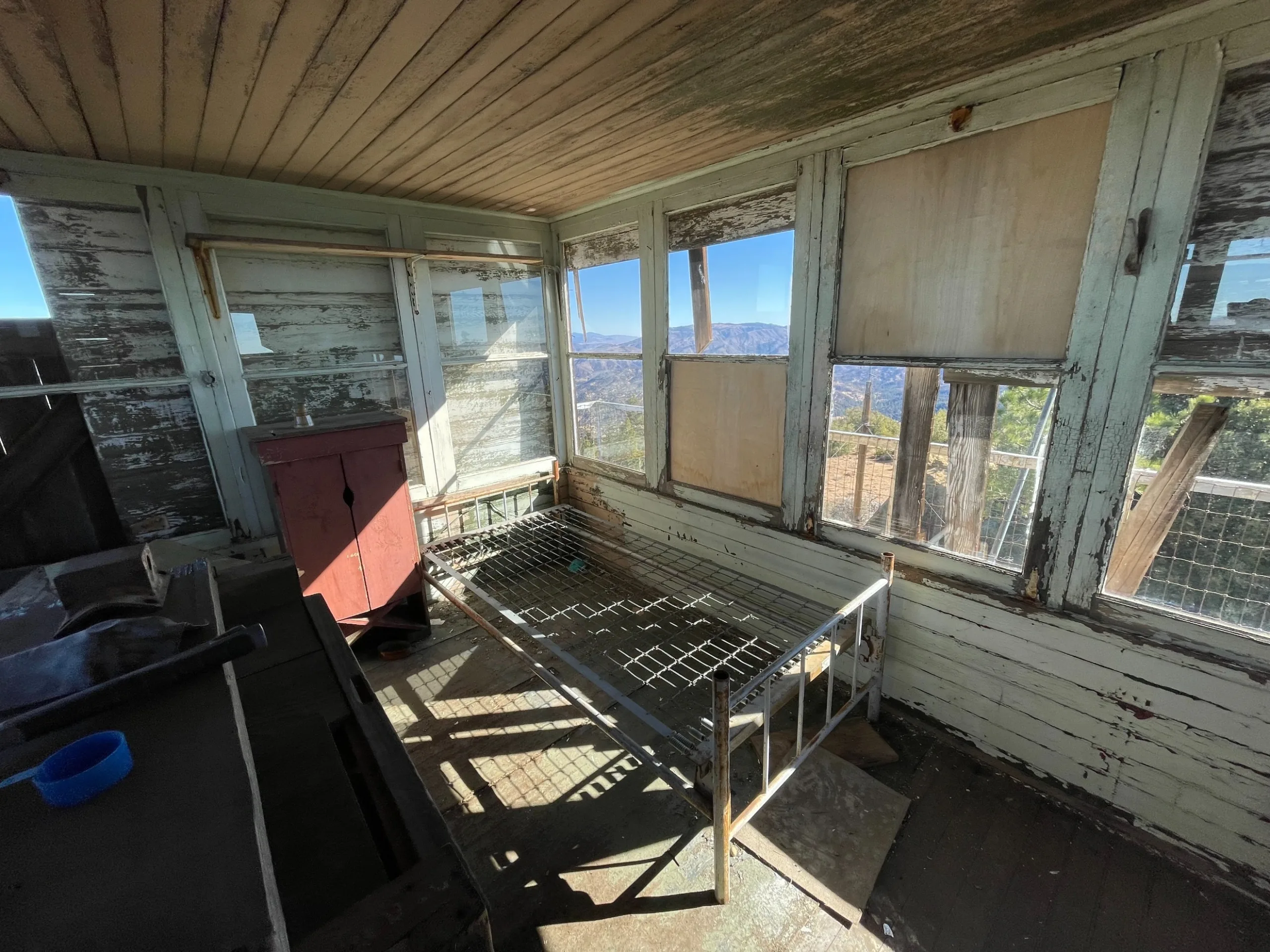
Thorn Point Lookout Inside, photo by Jim Hagar

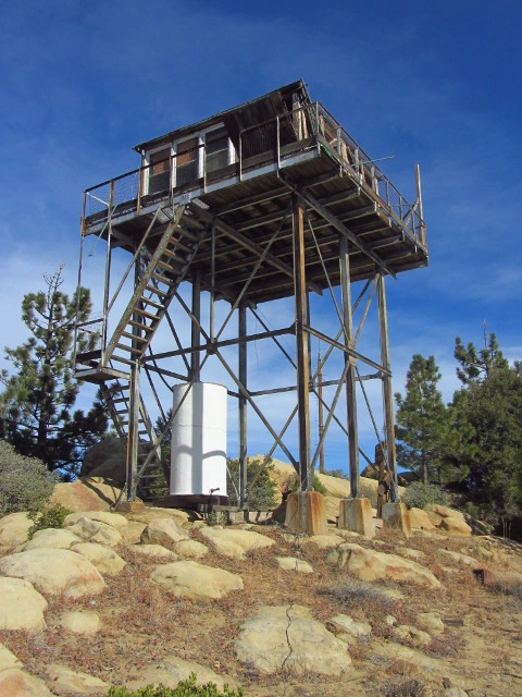
Thorn Point Lookout Outside, photo by Jim Hagar
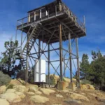
Thorn Point Lookout, photo by Valerie Norton
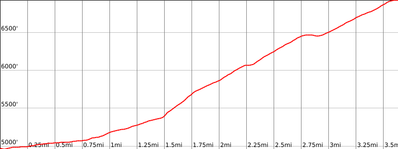


Peakbagger.com

Nearest ranger station

NOAA Forecast

Google Earth


