Peak Name
Elevation
feet
Status
Region
Range
Nearby peaks
Location
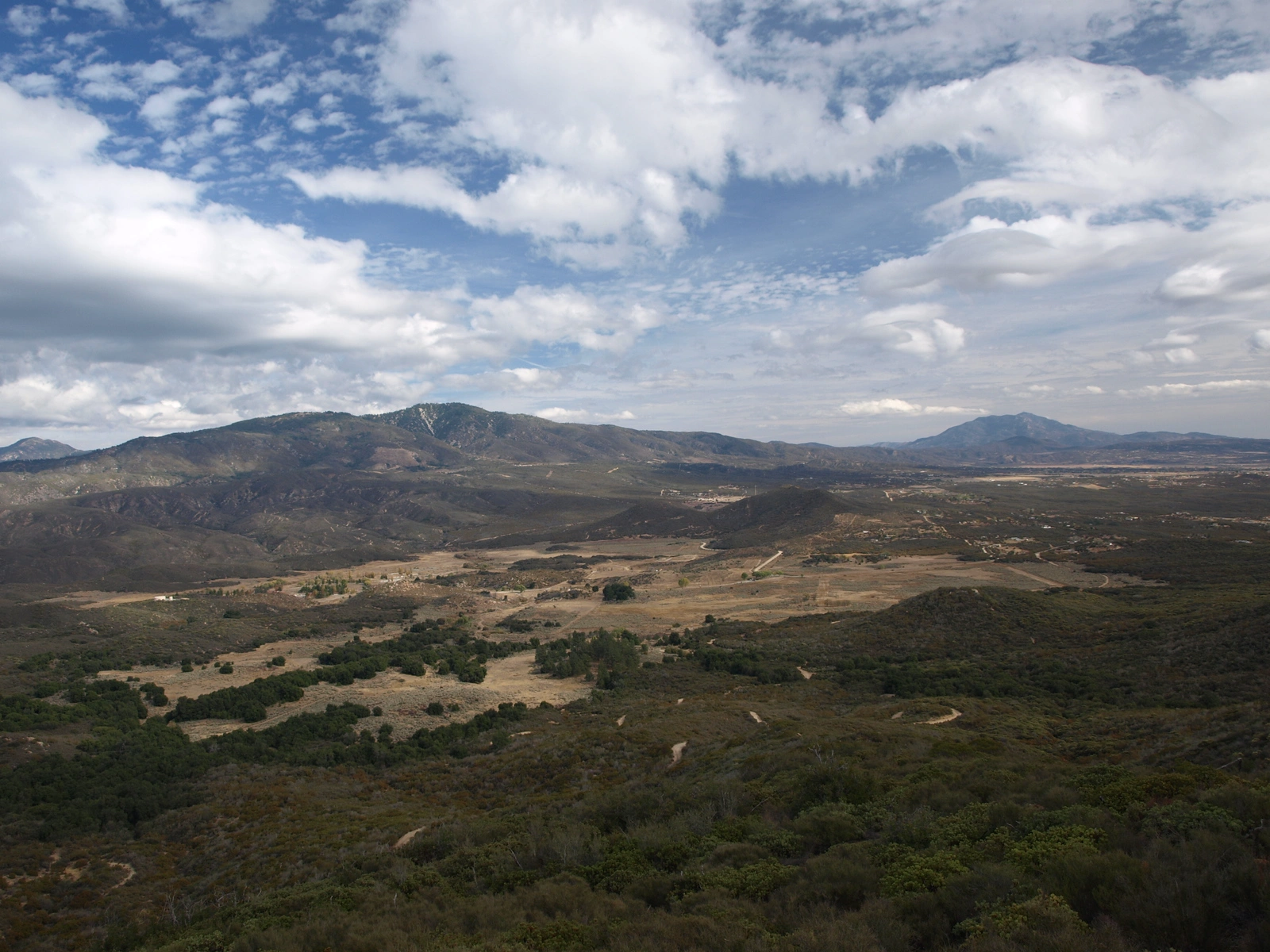
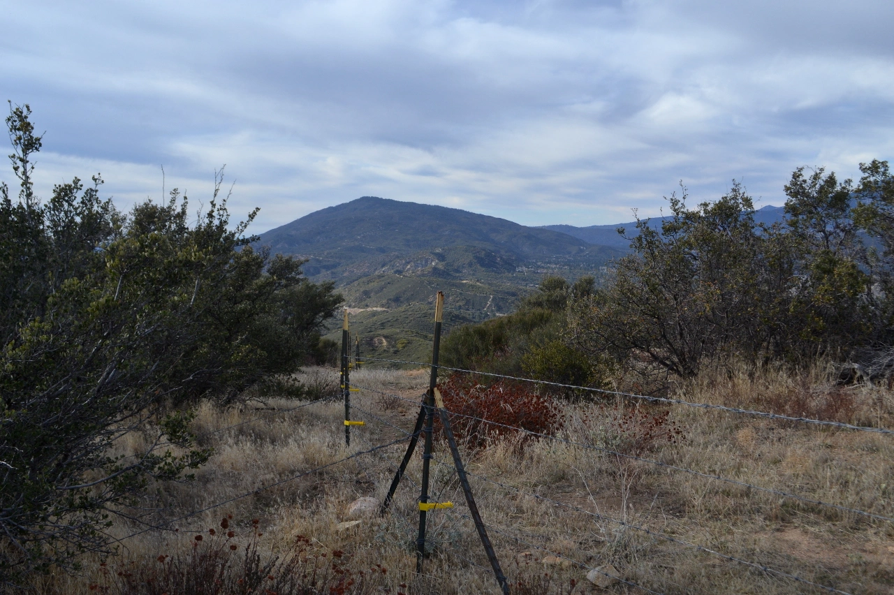
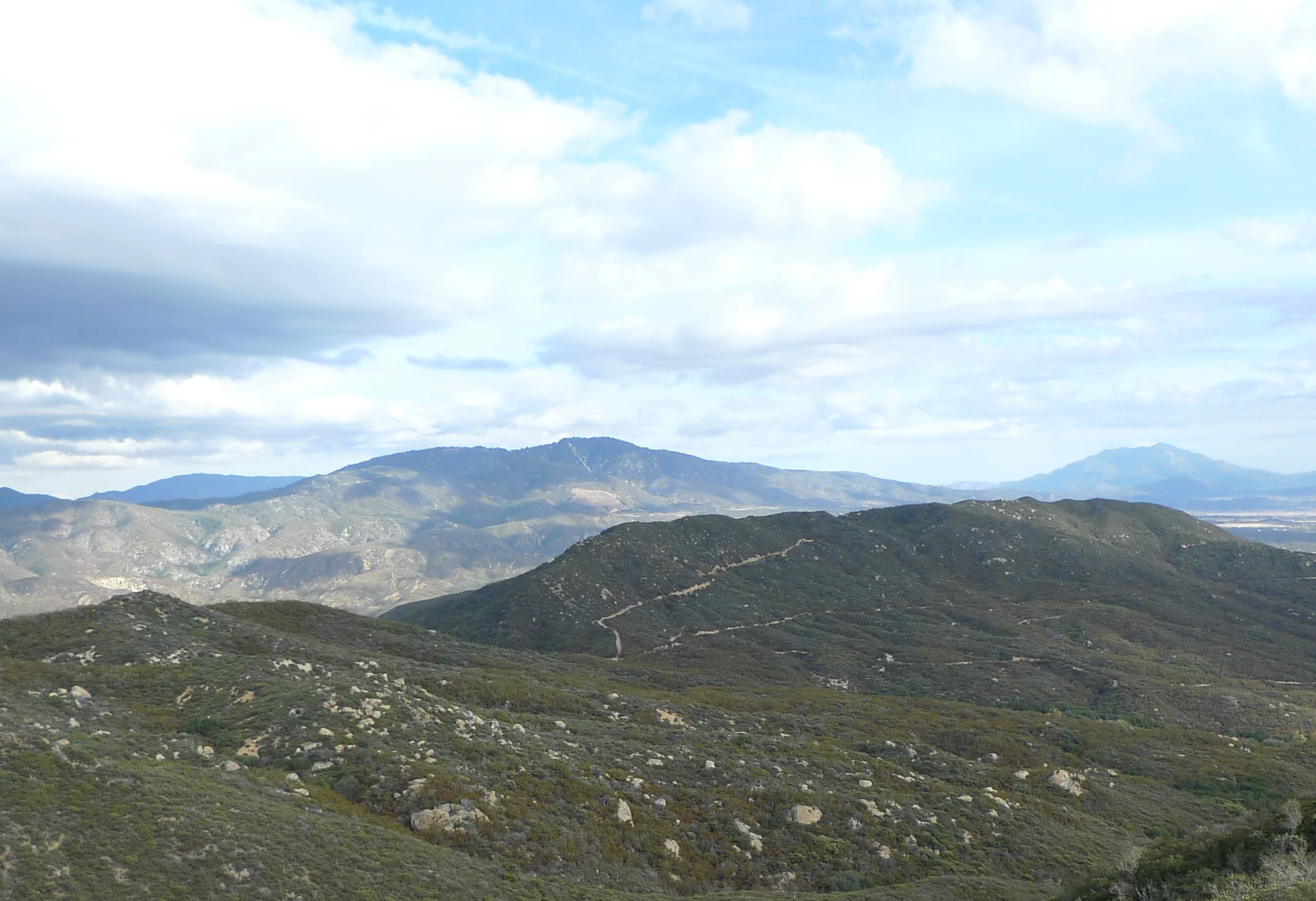
Thomas Mountain and its neighbor Rouse Hill occupy the South Fork San Jacinto Wilderness, a small range south of Idyllwild, separated from the Desert Divide by the South Fork of the San Jacinto River, which drains into Lake Hemet at its feet. The views are marvelous, particularly a view of the full length of the Desert Divide to the east and north.
Route 1 is a drive-up on Thomas Mountain Road from its northern end, turning south once reaching the ridge. One can detour a few miles north to also bag Route Hill. This requires a high clearance vehicle. Thomas Mountain Road continues south from there, another possible approach depending on conditions. It can be hiked on the Ramona Trail, shown on the map. There are several nice campgrounds in the area.
Maps generated from CalTopo.com, reproduced with permission
Driving route
Go south on I-215 to the Ramona Expressway. Turn left (east).
Go east and then southeast on the Ramona Expressway until it ends at SR 74. Turn left (east).
Go east on SR 74 to Mountain Center.
Continue east on SR 74 for 5.2 miles to a dirt road (6S13) on the right just past Lake Hemet. Turn right. Note your odometer and go as follows:
At 4.5 miles, fork with a sign “Thomas Mtn 3, Rouse Hill 7”. This is the turnoff for Rouse Hill. Keep left.
At 7.4 miles, fork at a campground. Turn right.
At 7.8 miles, park by a concrete foundation.
Hiking route
Hike northwest along the ridgeline to the final campsite at the farthest northwest extent of the camp road. The remnants of the benchmark are conspicuously found on the flat rock three feet east of the campsite post. There is usually no register.
Additional Peak Information
Special conditons: Dirt roads in the area may be closed for fire or rainy season. Check with the Forest Service in Idyllwild: (909) 382-2921


You must be logged in to upload images.