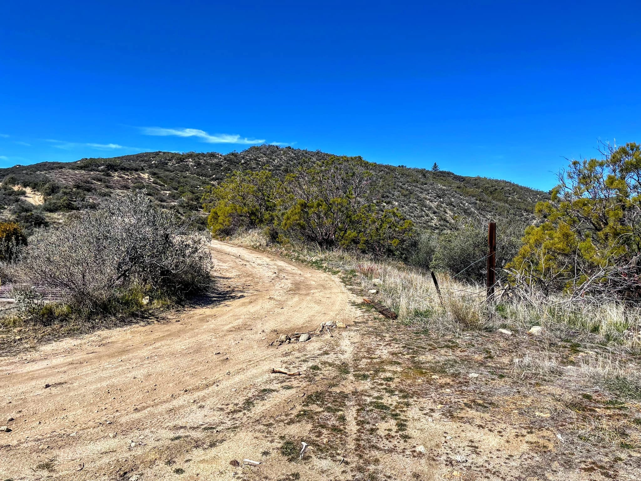
Rouse Hill, photo by Sunny Yi
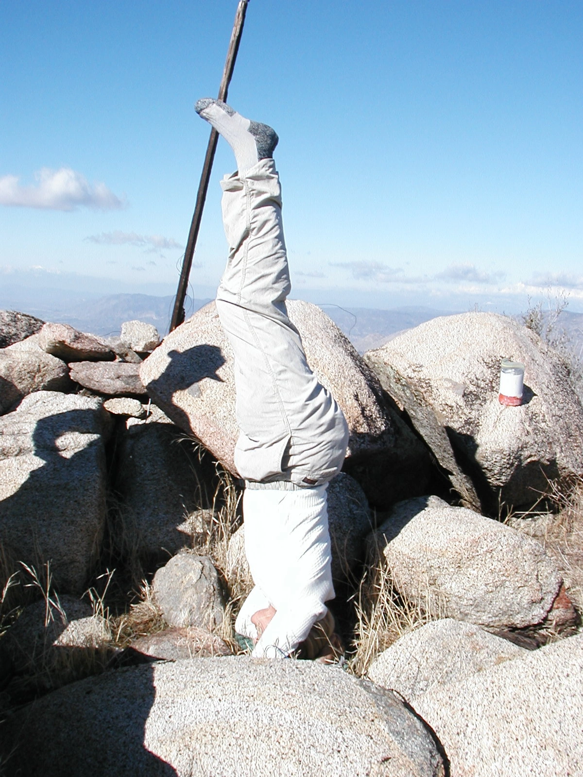
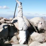
Edith Liu doing a headstand on Rouse Hill, photo by Edith Liu

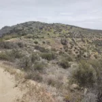
Rouse Hill, photo by Steve Russell
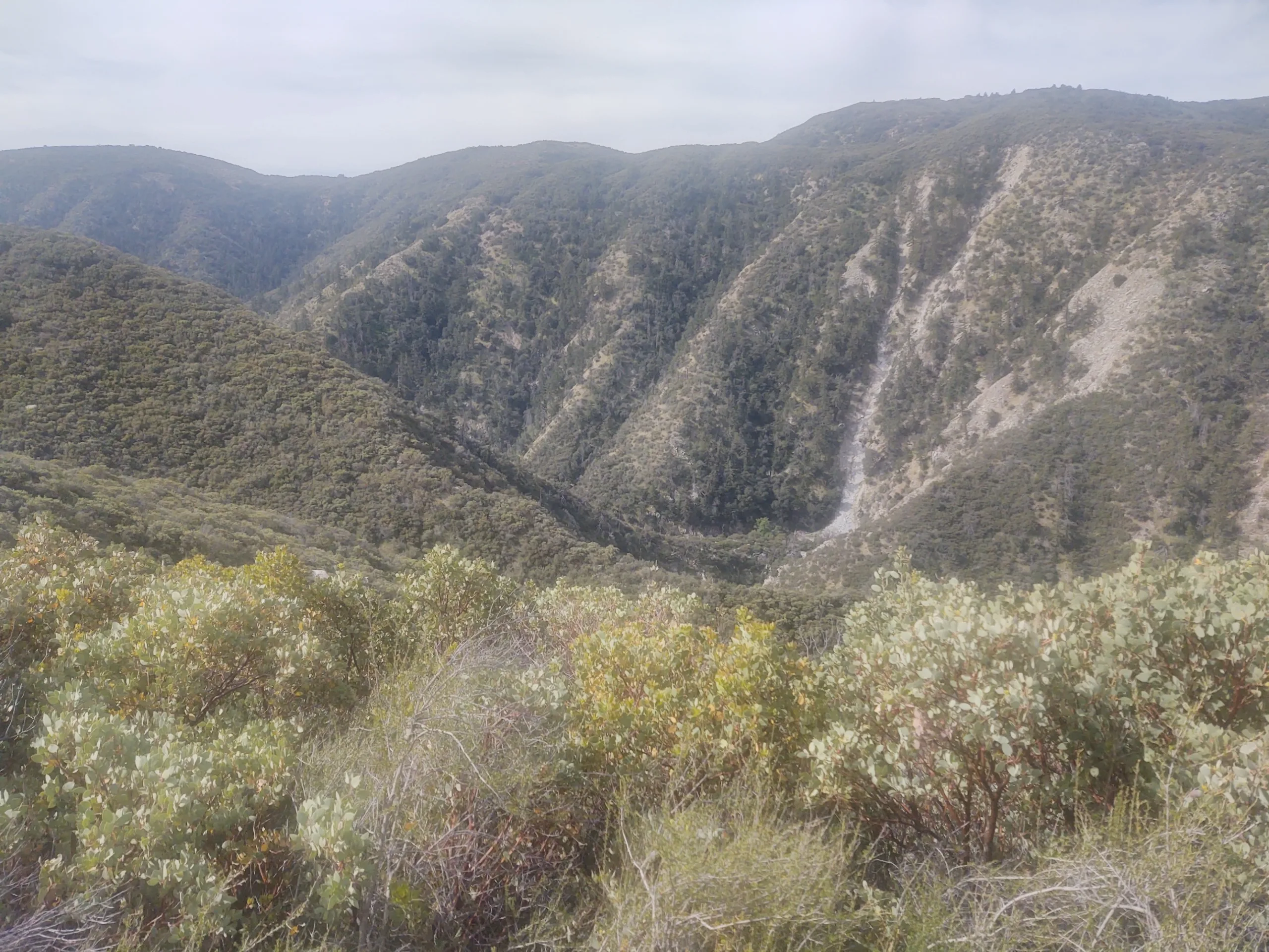
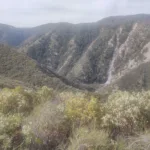
Rouse Hill, photo by Steve Russell


Peakbagger.com

Nearest ranger station

NOAA Forecast

Google Earth


